Photo Credits (3)
Difficulty
Easy
About Chute des Îlets
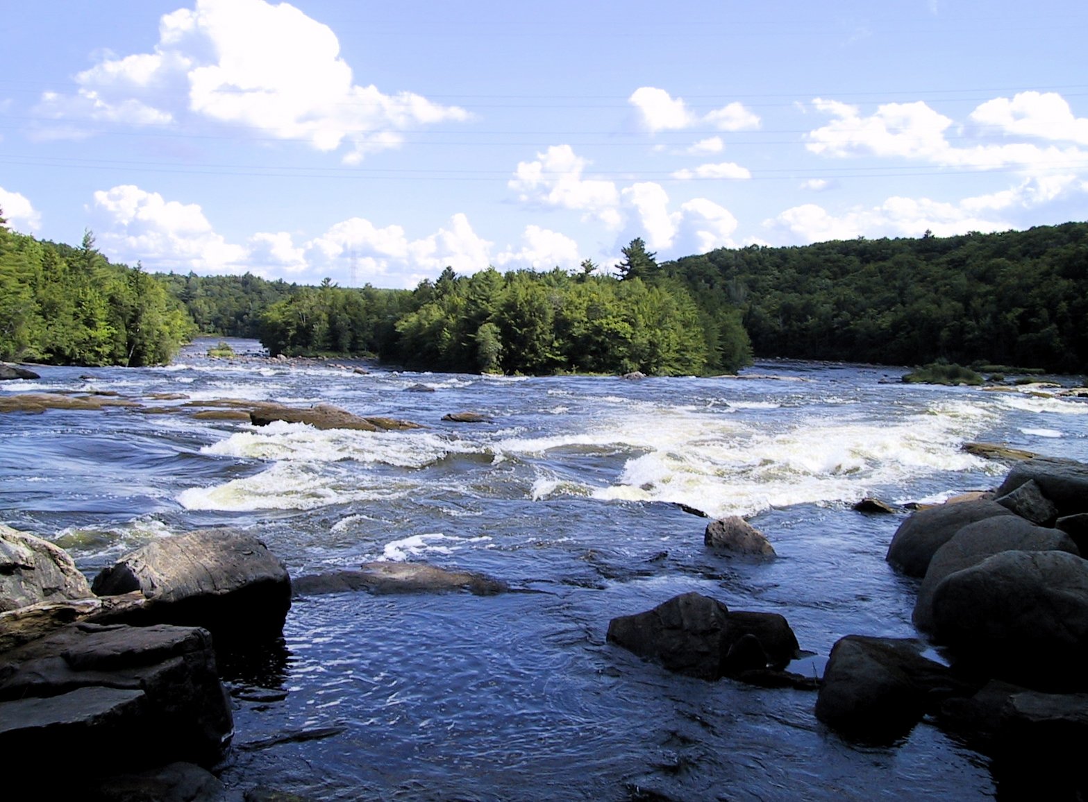
Chute des Îlets is a waterfall located in the Mauricie region of Quebec near the towns of Shawinigan-Sud, Trois-Rivières and Drummondville (coordinates 46.5742, -72.419). It appears as a natural falls along a local river or tributary and is visited by locals and regional visitors. Specific published guidebook details (official park placard, established trail name, or measured height) are not readily confirmed here, so some specifics below are described cautiously and may vary by season and water level.
Why This Waterfall Exists
Chute des Îlets flows over hard crystalline rock, primarily gneiss, laid down over 1.0-1.6 billion years ago. These resistant rocks form a durable ledge that water cannot easily wear away, creating the falls where softer material downstream has already eroded.
Trail & Hike Details
Trail Description
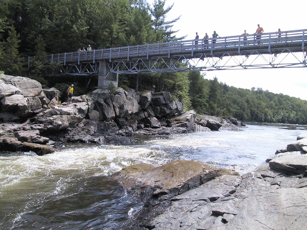
Definitive trail route descriptions and measured trail stats for Chute des Îlets are not confirmed here. Reports of small regional waterfalls in this area commonly involve either a very short walk from a roadside pullout or a short to moderate unmaintained path that can include roots, rocks and brief scrambles to reach viewpoints. Expect an informal trail with possible uneven footing and limited infrastructure (no boardwalks or official viewing platforms unless posted). If important, consult local hiking resources, municipal tourism offices, or recent visitor trip reports before planning your visit.
What to Expect
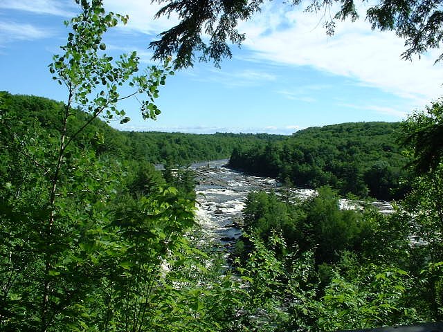
Visitors can typically expect a forested setting with natural stream channels, variable water flow depending on season (higher in spring melt and after heavy rain), and limited facilities. There may be multiple vantage points: a roadside view, upstream or downstream viewpoints, and possibly closer access to the pool or cliff base if safe and permitted. Terrain may be rocky and slippery near the water. Cell coverage may be spotty in places.
Accessibility
The trail is short and relatively flat, but the surface may be uneven. Contact the managing agency for accessibility details.
Frequently Asked Questions
🐶 Are Dogs Allowed at Chute des Îlets?
❌ Dogs are not allowed
Are There Any Fees or Permits Required?
🆖 No fees required
🏊 Is There Swimming at Chute des Îlets?
❌ Swimming is not allowed
When to Visit
Spring (snowmelt) typically offers the fullest flows and most dramatic appearance. Fall provides scenic foliage but flows may be lower. Summer is popular for mild weather but insects and lower flows can occur. Winter may offer icy/frozen scenery but access can be hazardous due to ice, snow and limited maintenance, only attempt with appropriate winter gear and local knowledge.
Seasonal Access
The best time to visit is Spring, Summer, Fall, and Winter. Check with the managing park or local authority for current conditions.
Safety Information
• Slippery rocks, steep banks and strong currents are common hazards, keep a safe distance from edges. • Flashy flows after rain or spring melt can rapidly change conditions. • Cell phone coverage may be unreliable; tell someone your plans and expected return time. • There may be limited signage and no lifeguards or emergency services nearby; bring a basic first-aid kit. • Respect private property boundaries and posted warnings; do not attempt risky scrambles to reach precarious viewpoints.
7-Day Flow Outlook
Based on the WSC gauge BATISCAN (RIVIERE) A 3,4 KM EN AVAL DE LA RIVIERE DES ENVIES (2 km away).
Best time of year: this gauge typically runs highest from early April to mid June, peaking in April.
How we calculate this
This is a transparent outlook, not a precise forecast. We take the waterfall's current flow strength (how it ranks against its historical normal for today, from the nearest WSC stream gauge), carry that ranking forward along the gauge's seasonal curve, and nudge it for forecast rain. Confidence is highest for the next day or two and falls further out. Always check official conditions and your own judgment before visiting — high flows can be dangerous.
Know when to go.
Get a free email alert when waterfalls near Shawinigan-Sud hit peak flow. We only send when conditions are worth the trip — no weekly newsletters, no spam.
Weather Forecast
Location & Access
Getting There
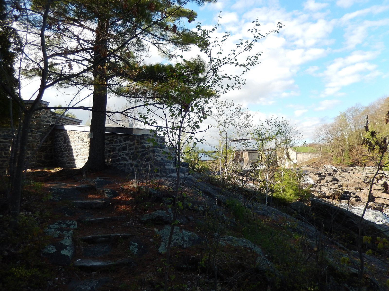
The waterfall is near coordinates 46.5742, -72.419 in the Mauricie area of Quebec. Nearest towns (approximate distances provided): Shawinigan-Sud ~16.3 miles, Trois-Rivières ~16.5 miles, Drummondville ~36.5 miles. Access is typically by local paved roads; use GPS coordinates to navigate. Exact public access points, trailheads or road names are not confirmed here, verify with local maps or municipal forestry/park offices before travelling.
Get Directions on Google MapsParking
Parking details are not definitively documented. There may be limited roadside pullouts or informal parking near the nearest access road. Visitors should expect minimal facilities and check for local signage or private property restrictions. Park only where allowed and avoid blocking roads.
Elevation
74 metres above sea level
Coordinates
46.574151° N, -72.419024° W
Visitor Tips & Gear
• Use the provided GPS coordinates and local maps; confirm public access and parking before arrival. • Wear sturdy, non-slip footwear, rocks and trails near the falls can be slippery. • Follow posted signs and respect private property; do not cross fences or enter restricted areas. • Expect minimal or no facilities (no toilets or garbage service); pack out what you bring in. • Avoid getting too close to the edge; wet rocks and currents are hazardous. • In spring and after heavy rain, currents and flows can be much stronger, be extra cautious. • Check recent visitor reports or local municipal/park resources for trail conditions and access updates.
Where to Stay
Browse vacation cabins and private rentals nearby
Unique outdoor stays — tents, yurts, and treehouses
Rent a campervan or RV for your waterfall road trip
Some links are affiliate links. We may earn a commission at no extra cost to you.
Nearby Campground
Camping du Plateau
1 km away
Additional Information
Nearby Attractions
Nearby regional attractions may include Shawinigan and its industrial heritage sites, recreational areas along the Saint-Maurice River, and regional parks in the Mauricie area. Exact proximity to named parks is not confirmed and should be verified on local maps.
Wildlife
Typical regional wildlife may include white-tailed deer, small mammals (squirrels, raccoons), a variety of songbirds, and potentially waterfowl near streams. Be aware of black bears in some parts of Quebec, take standard precautions (secure food, make noise while hiking) and check local advisories.
Cities near Chute des Îlets
Nearby Waterfalls
Writing about Chute des Îlets? Embed this waterfall on your site for free.