Photo Credits (5)
Difficulty
Easy
Trail Length
1.0 km
Trail Type
Out And Back
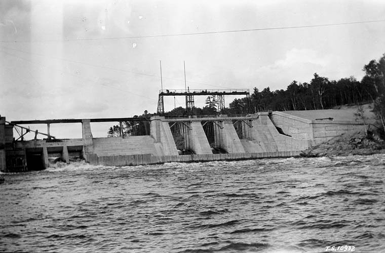
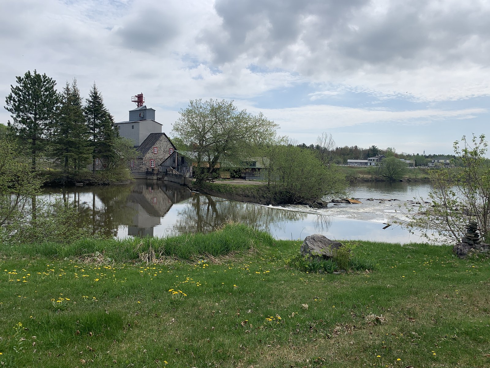
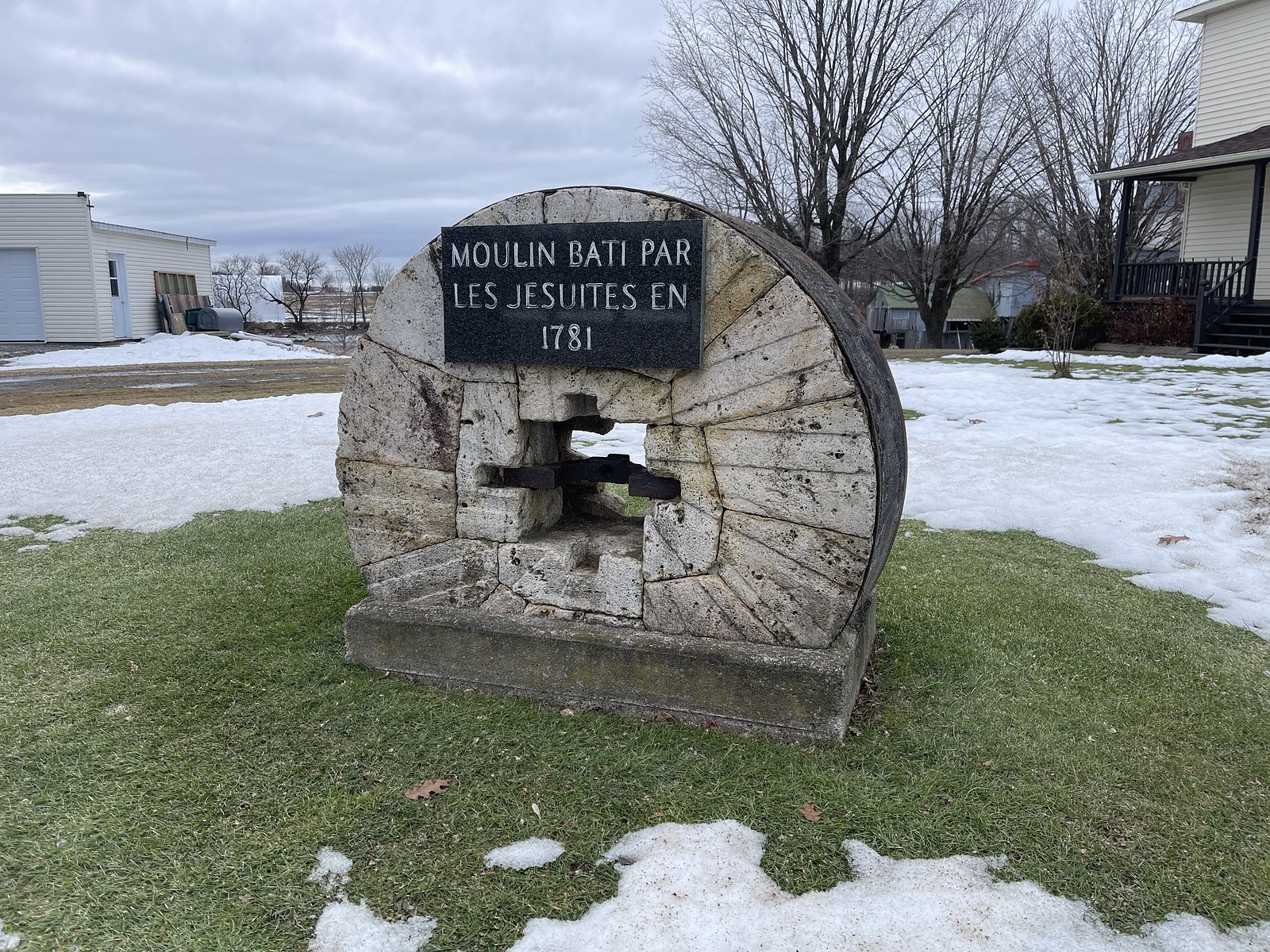
About La Grande Chute
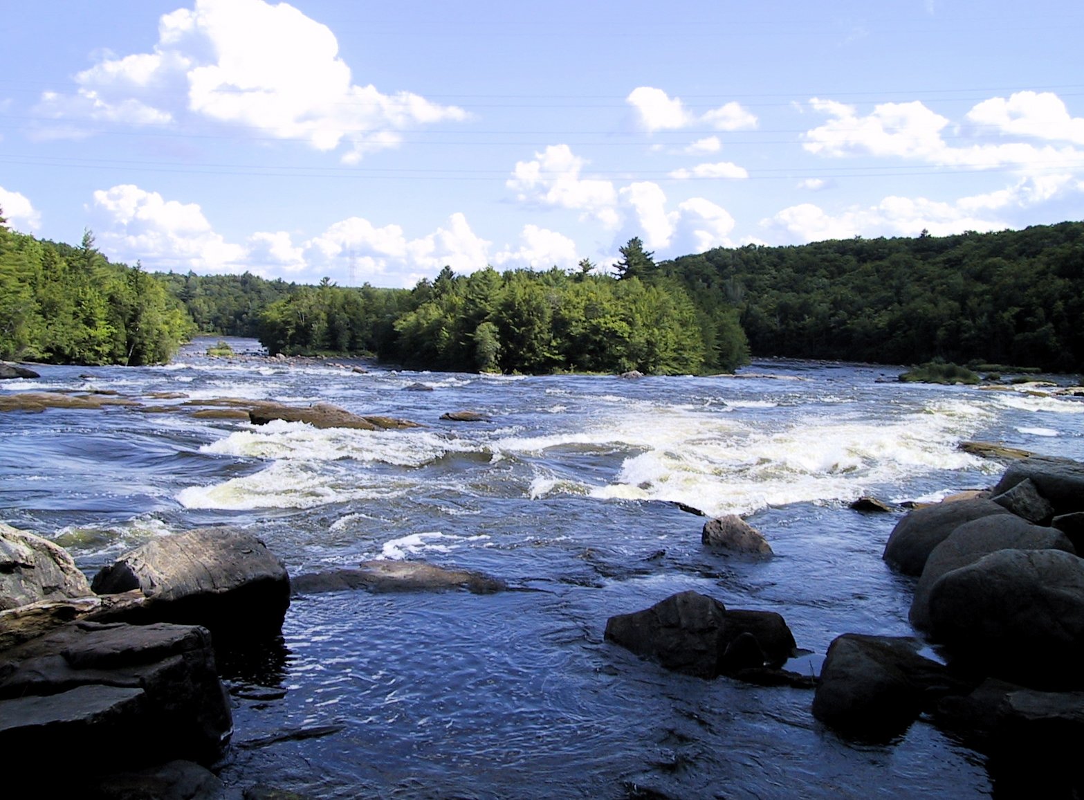
La Grande Chute is a named waterfall on the rivers/streams near Shawinigan-Sud in the Mauricie region of Quebec (approximate coordinates 46.5571, -72.4126). It is reached from local forest/river roads and is reported by visitors to be a scenic fall with stronger flow in spring melt and after heavy rains. Specific official data (measured height, formal park designation) is not confirmed here; descriptions below use typical conditions and visitor reports and may be approximate.
Why This Waterfall Exists
La Grande Chute flows over hard crystalline rock, primarily gneiss, laid down over 1.0-1.6 billion years ago. These resistant rocks form a durable ledge that water cannot easily wear away, creating the falls where softer material downstream has already eroded.
Trail & Hike Details
Trail Description
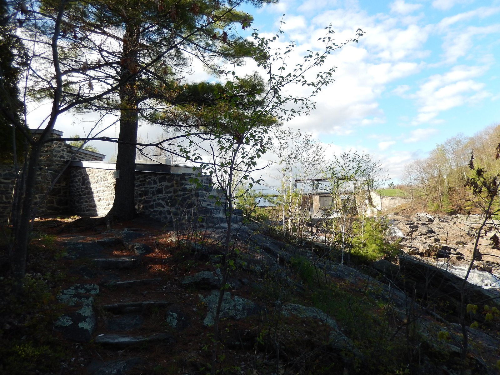
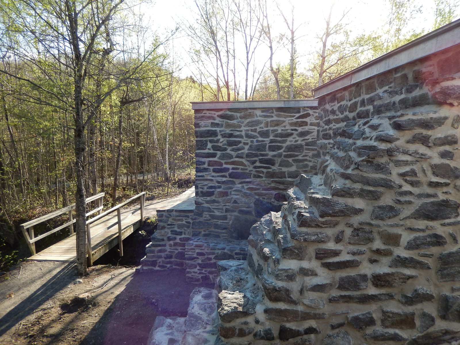
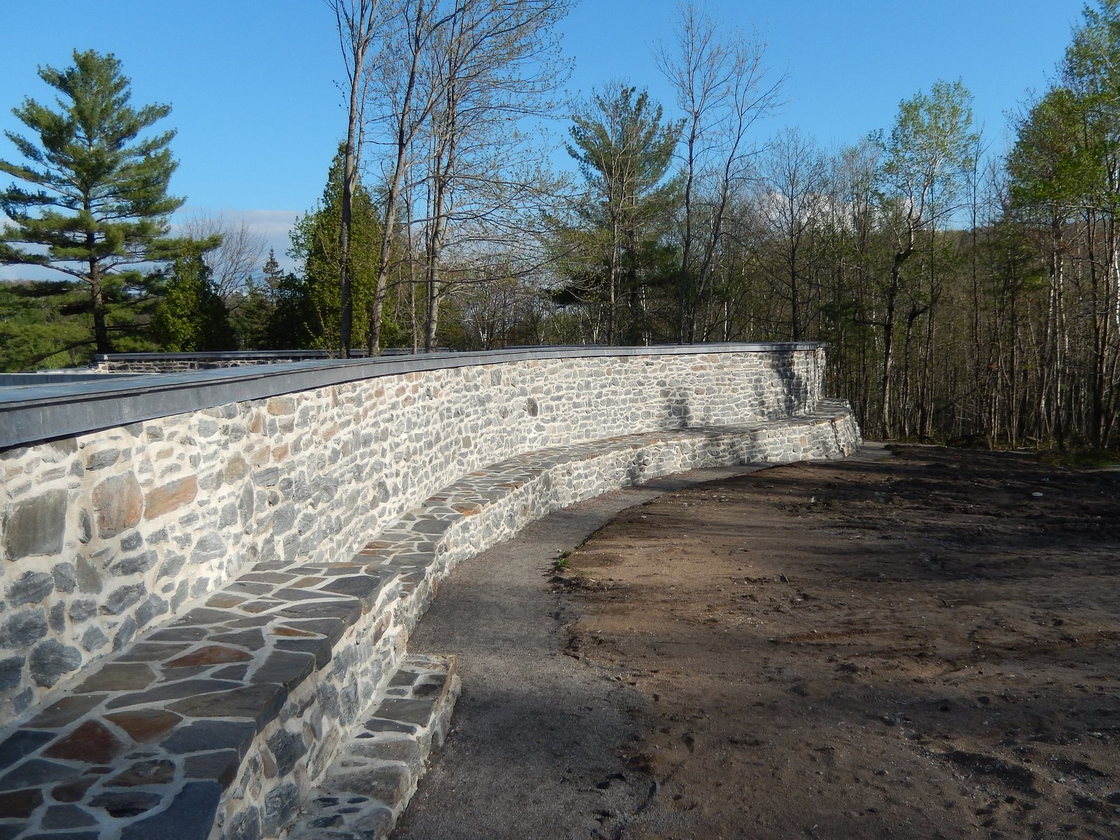
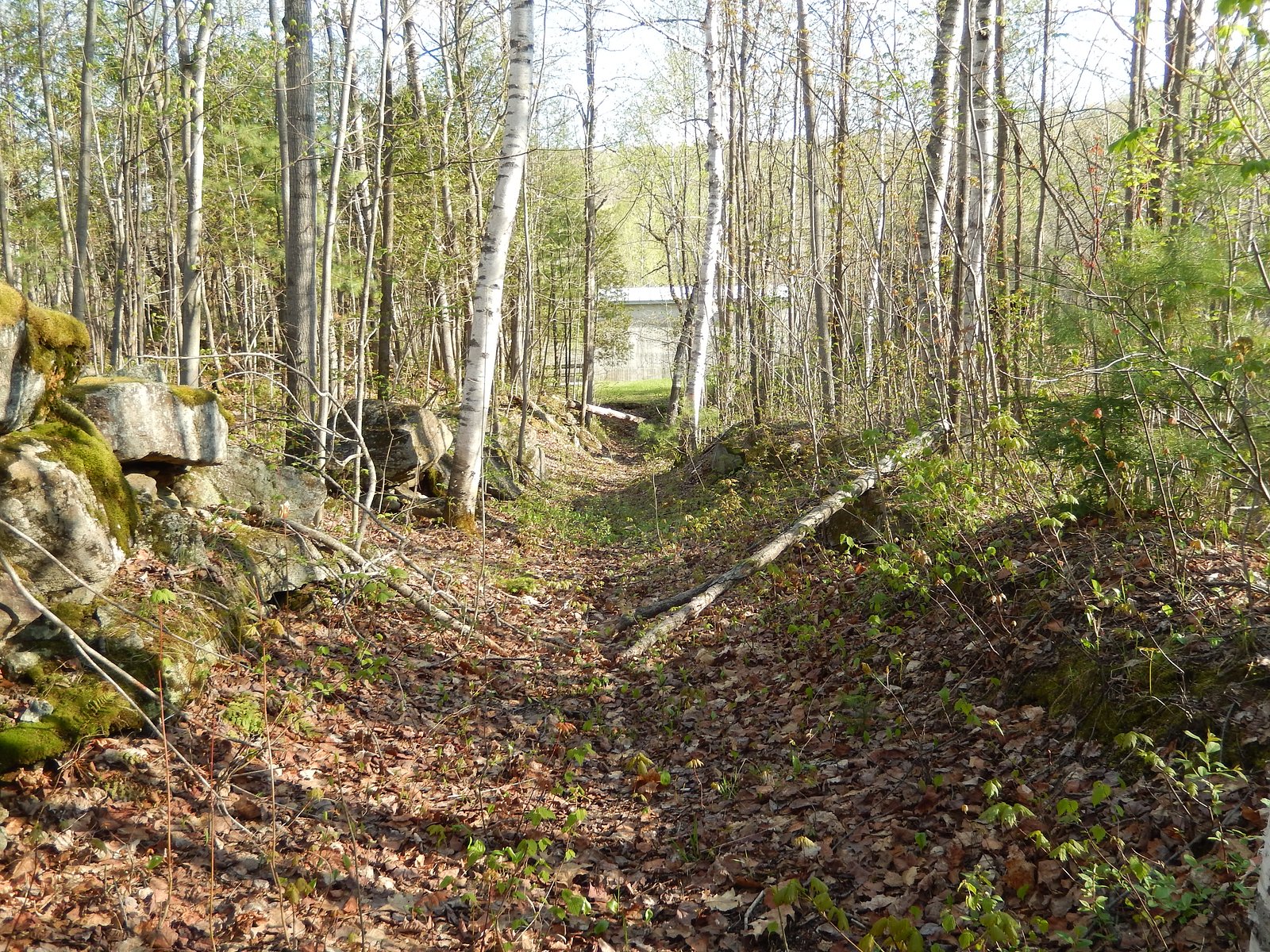
Reports indicate the approach to the fall is a short walk from a roadside pullout in most conditions, but the exact trail route, length, and surface are not officially documented here. Trails in this region are commonly unpaved, may be rocky or rooty, and can include short steeper sections near the riverbank. Expect an informal path that may be muddy after rain or snowmelt. Use caution near edges and cliffs.
What to Expect
A natural river/stream waterfall with seasonal variation in flow (highest in spring). Vegetation typical of southern Mauricie: mixed forest with hardwoods and conifers, mossy rocks and possible wetland areas nearby. There may be viewpoints or informal ledges for photos; however, the immediate area around the fall can be slippery and potentially unstable. Little to no developed visitor infrastructure (rails, boardwalks) is confirmed.
Accessibility
The trail is short and relatively flat, but the surface may be uneven. Contact the managing agency for accessibility details.
Frequently Asked Questions
🐶 Are Dogs Allowed at La Grande Chute?
❌ Dogs are not allowed
Are There Any Fees or Permits Required?
🆖 No fees required
🏊 Is There Swimming at La Grande Chute?
❌ Swimming is not allowed
When to Visit
Late spring for peak water flow from snowmelt and rains; early morning on weekdays to avoid any local visitors. Fall offers foliage colors with lower flows. Winter visits are possible for ice formations but require winter safety gear and caution.
Seasonal Access
The best time to visit is Spring, Summer, Fall, and Winter. Check with the managing park or local authority for current conditions.
Safety Information
Hazards include slippery rocks and trails, steep drop-offs, fast or cold currents near the falls, variable flow depending on season, and winter ice. Flashy river conditions after heavy rain can quickly change safety around the falls. Stay on established paths, keep children and pets under close supervision, do not climb on wet rocks, and avoid getting too close to the edge. If conditions look hazardous (high water, unstable banks, ice), do not attempt to approach the falls.
7-Day Flow Outlook
Based on the WSC gauge BATISCAN (RIVIERE) A 3,4 KM EN AVAL DE LA RIVIERE DES ENVIES (3 km away).
Best time of year: this gauge typically runs highest from early April to mid June, peaking in April.
How we calculate this
This is a transparent outlook, not a precise forecast. We take the waterfall's current flow strength (how it ranks against its historical normal for today, from the nearest WSC stream gauge), carry that ranking forward along the gauge's seasonal curve, and nudge it for forecast rain. Confidence is highest for the next day or two and falls further out. Always check official conditions and your own judgment before visiting — high flows can be dangerous.
Know when to go.
Get a free email alert when waterfalls near Shawinigan-Sud hit peak flow. We only send when conditions are worth the trip — no weekly newsletters, no spam.
Weather Forecast
Location & Access
Getting There
Located near Shawinigan-Sud (≈15.7 miles), Trois-Rivières (≈15.9 miles) and Drummondville (≈35.9 miles). Use the coordinates 46.5571, -72.4126 in a GPS or mapping app to locate the site. Access is typically via local provincial roads and small municipal or forestry access roads; final approach may be on an unpaved road and could require a short walk from a roadside parking/pullout. Visitors should consult local signage or municipal/park sources for the preferred approach and any seasonal road closures.
Get Directions on Google MapsParking
There may be a small roadside parking area or informal pullout near the trailhead; an official large parking lot is not confirmed. Parking may be limited and could be on the shoulder of a rural road. Park legally and avoid blocking gates or private driveways.
Elevation
51 metres above sea level
Coordinates
46.557057° N, -72.412611° W
Visitor Tips & Gear
• Use the coordinates in a mapping app and verify access with local municipal or park sources before going. • Wear sturdy, waterproof footwear with good traction, rocks and trails can be slippery. • Stay back from edges; wet rock and overhangs can be unstable. • Pack out all trash; respect private property and any posted signs. • Cellular coverage may be limited in some forested areas; tell someone your plan. • Expect black flies/mosquitoes in late spring and summer; bring repellent. • If visiting in winter, expect icy conditions; microspikes or traction aids and warm layers are recommended.
Where to Stay
Browse vacation cabins and private rentals nearby
Unique outdoor stays — tents, yurts, and treehouses
Rent a campervan or RV for your waterfall road trip
Some links are affiliate links. We may earn a commission at no extra cost to you.
Nearby Campground
Camping de l'Île
0.3 km away
Additional Information
Nearby Attractions
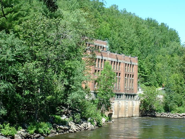
Shawinigan / Shawinigan-Sud and La Cité de l'Énergie (industrial heritage site), Parc national de la Mauricie (national park with trails and lakes), Saint-Maurice River viewpoints, and the riverside areas around Trois-Rivières. Confirm distances and hours with each attraction.
Wildlife
Typical regional wildlife may include songbirds, waterfowl, beavers, muskrat, white-tailed deer, small mammals and occasionally black bear. Take usual precautions with food and pets; do not feed wildlife.
Cities near La Grande Chute
Nearby Waterfalls
Other waterfalls named La Grande Chute
1 other waterfall shares this name across Canada.
Writing about La Grande Chute? Embed this waterfall on your site for free.