Photo Credits (5)
About Chute à Cossette
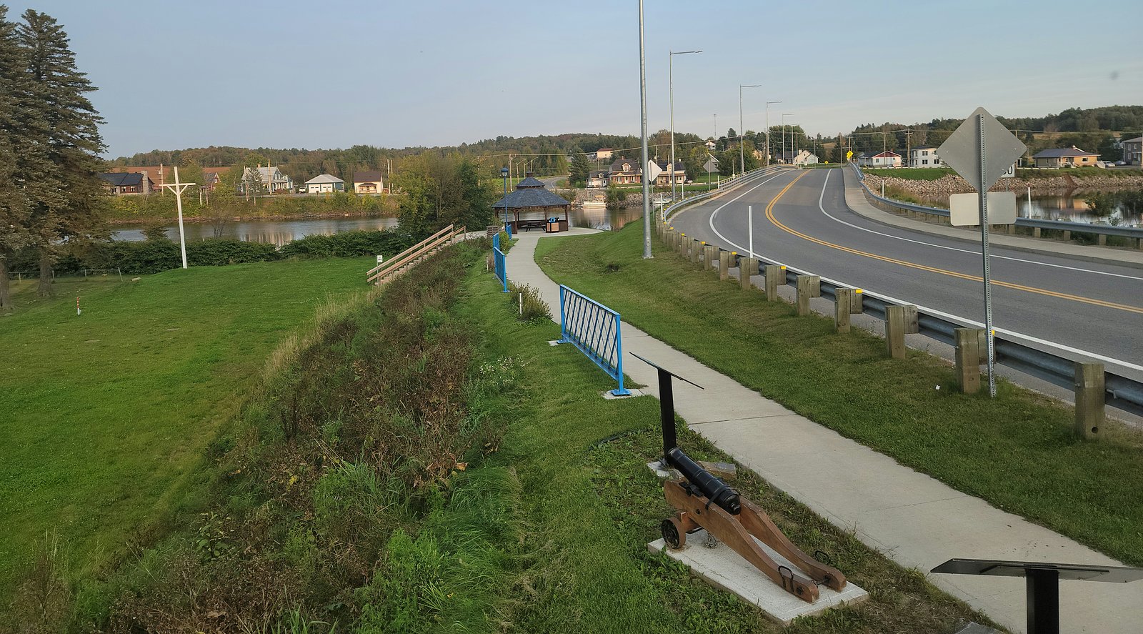
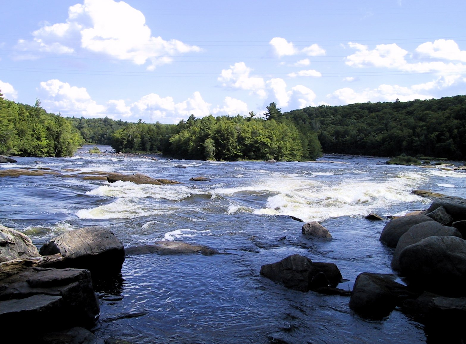
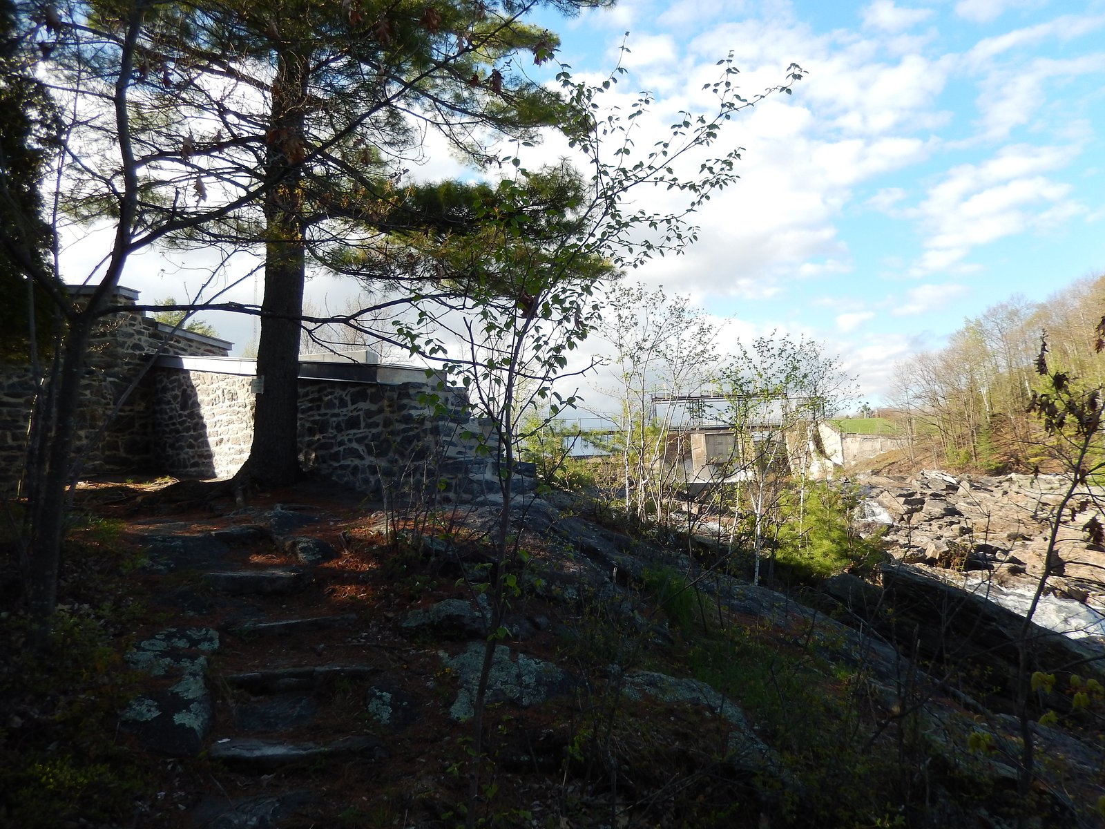
Chute à Cossette is a waterfall in the Mauricie region of Quebec near the communities of Shawinigan-Sud and Trois-Rivières. It sits in a mixed forest and rocky terrain typical of this part of Quebec. Flow and appearance are seasonal, highest in spring runoff and reduced in late summer and drought. The site may offer a short viewpoint or informal access rather than developed visitor infrastructure. Exact published details about its height and trail infrastructure are limited; some information below is conservative and uses phrases like "may be" where specifics are not confirmed.
Why This Waterfall Exists
Chute à Cossette flows over hard crystalline rock laid down over 1.0-1.6 billion years ago. These resistant rocks form a durable ledge that water cannot easily wear away, creating the falls where softer material downstream has already eroded.
Trail & Hike Details
Trail Description
Publicly available, detailed trail descriptions for Chute à Cossette are limited. Many visitors report a short walk from a nearby road or informal parking area to a viewpoint above or beside the falls. Terrain is often uneven, rocky, and may be muddy or slippery, particularly after rain or during spring thaw. Expect minimal to no maintained boardwalks, railings, or signage.
What to Expect
A modest, scenic waterfall set in forested, rocky surroundings. Water flow is highest in spring and after heavy rain. There are likely no staffed facilities, restrooms, or maintained picnic areas immediately at the falls. Natural viewpoints likely provide good photo opportunities but exercise caution on wet rock and near edges. Cell service may be intermittent depending on carrier and exact location.
Accessibility
Likely not wheelchair accessible. Approaches are commonly on unpaved, uneven terrain with rocks and potential short scrambles; visitors with limited mobility should plan conservatively.
Frequently Asked Questions
🐶 Are Dogs Allowed at Chute à Cossette?
❌ Dogs are not allowed
Are There Any Fees or Permits Required?
🆖 No fees required
🏊 Is There Swimming at Chute à Cossette?
❌ Swimming is not allowed
When to Visit
Late spring for peak flow and dramatic water volume; early fall for foliage colors and generally stable weather. Summer offers full access but lower flows; winter creates ice formations but can be hazardous due to ice and snow, only attempt with proper equipment and experience.
Seasonal Access
The best time to visit is Spring, Summer, Fall, and Winter. Check with the managing park or local authority for current conditions.
Safety Information
Hazards may include slippery rocks, steep or unstable edges, high water during spring runoff, cold water temperatures, and limited or no guardrails. Cell reception may be poor; tell someone your plans and expected return time. Use caution in winter, icefall and frozen surfaces can be treacherous. Check local access rules; some routes may cross private property or logging areas.
7-Day Flow Outlook
Based on the WSC gauge BATISCAN (RIVIERE) A 3,4 KM EN AVAL DE LA RIVIERE DES ENVIES (3 km away).
Best time of year: this gauge typically runs highest from early April to mid June, peaking in April.
How we calculate this
This is a transparent outlook, not a precise forecast. We take the waterfall's current flow strength (how it ranks against its historical normal for today, from the nearest WSC stream gauge), carry that ranking forward along the gauge's seasonal curve, and nudge it for forecast rain. Confidence is highest for the next day or two and falls further out. Always check official conditions and your own judgment before visiting — high flows can be dangerous.
Know when to go.
Get a free email alert when waterfalls near Shawinigan-Sud hit peak flow. We only send when conditions are worth the trip — no weekly newsletters, no spam.
Weather Forecast
Location & Access
Getting There
Coordinates: 46.6087, -72.3889. The falls are located in the Mauricie area of Quebec, roughly between Shawinigan-Sud (~19 mi) and Trois-Rivières (~19.5 mi). Access is typically by local paved or gravel roads off regional routes; final approach may be on a short forest or logging road. Visitors should use the coordinates and local signage to plan the final approach and confirm if access crosses private land.
Get Directions on Google MapsParking
There may be limited or informal roadside parking close to the access point. Expect little or no formal developed parking lot, signage, or facilities in the immediate area. Park safely off the road and avoid blocking driveways or gates.
Elevation
100 metres above sea level
Coordinates
46.608669° N, -72.388866° W
Visitor Tips & Gear
• Wear sturdy, grippy footwear, rocks and trails can be slippery. • Bring layers; weather in the Mauricie region can change quickly and areas near water are cooler. • Respect private property and posted signs, some access routes may cross private or managed lands. • If visiting in spring, expect high flow and potentially saturated ground; avoid riverbanks during high water. • Leave no trace: pack out garbage and avoid damaging vegetation or graffiti on rock. • Check local sources (municipality, park service, or recent trip reports) before going for current access conditions.
Where to Stay
Browse vacation cabins and private rentals nearby
Unique outdoor stays — tents, yurts, and treehouses
Rent a campervan or RV for your waterfall road trip
Some links are affiliate links. We may earn a commission at no extra cost to you.
Nearby Campground
Camping de la Rivière
3.1 km away
Additional Information
Nearby Attractions
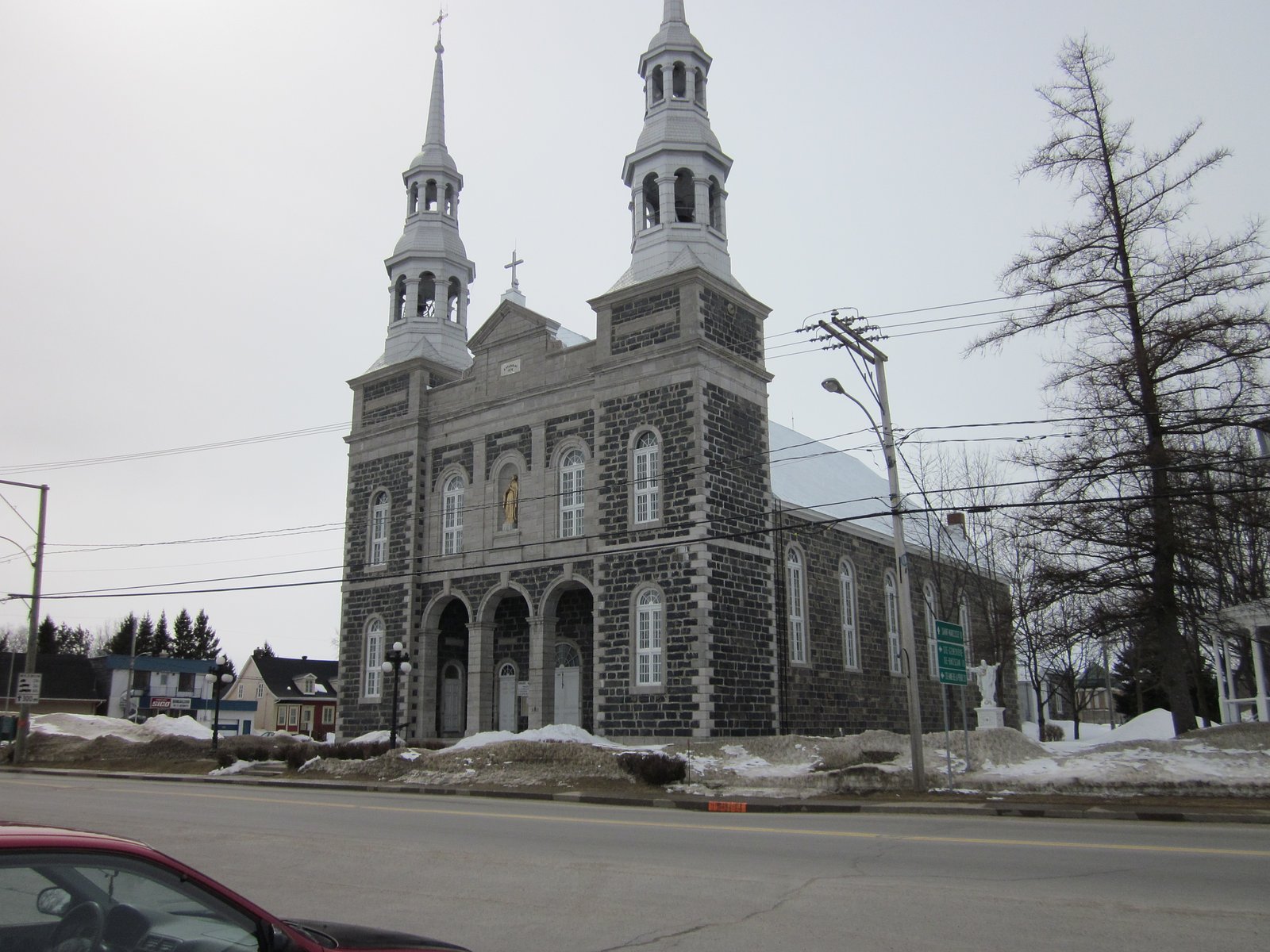
Parc national de la Mauricie (regionally nearby), Shawinigan (town amenities and attractions), Trois-Rivières. Exact distances vary by route; consult a map for driving times.
Wildlife
Typical Quebec mixed-woodland wildlife: birds, small mammals, deer, and possibly moose or black bear in more remote parts of the Mauricie region. Take standard precautions for wildlife encounters and secure food.
Cities near Chute à Cossette
Nearby Waterfalls
Writing about Chute à Cossette? Embed this waterfall on your site for free.