


Photo Credits (5)
Difficulty
Moderate
Trail Length
1.6 miles
Trail Type
Out And Back
Elevation Gain
200 ft
About Silver Falls
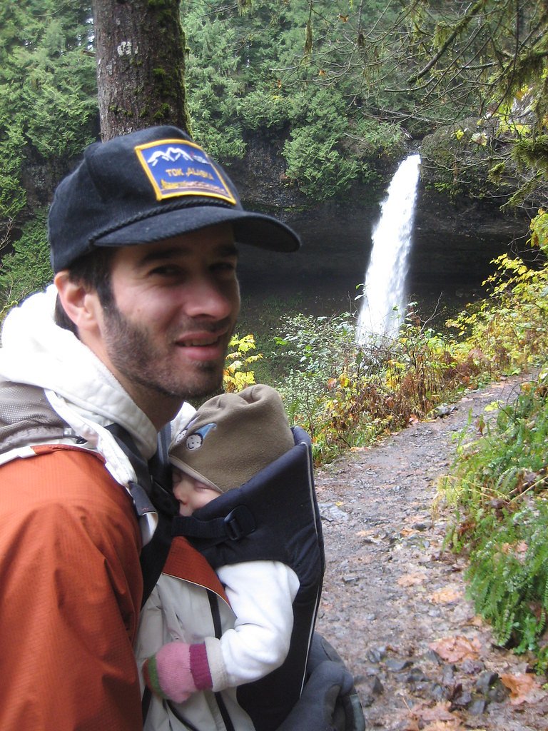
Silver Falls is a picturesque waterfall located in Alaska, known for its serene surroundings and natural beauty. It is a popular spot for nature enthusiasts and photographers, offering a tranquil escape into the Alaskan wilderness. The waterfall may be surrounded by lush greenery in the summer and dramatic icy formations in the winter.
Trail & Hike Details
The Approach
The moderate 1.6-mile out-and-back trail gains 200 feet of elevation on the way to the falls.
Trail Description
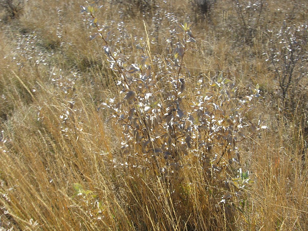
The trail to Silver Falls is relatively short and easy, making it suitable for most visitors. It typically follows a well-maintained path through a forested area, leading to a scenic view of the waterfall. During winter, the trail may be icy or snow-covered, requiring appropriate footwear and caution.
What to Expect
Dogs are welcome.
Accessibility
The trail is not wheelchair accessible. Uneven terrain and elevation changes require steady footing.
Frequently Asked Questions
🐶 Are Dogs Allowed at Silver Falls?
✅ Dogs are allowed
Are There Any Fees or Permits Required?
🆖 No fees required
🏊 Is There Swimming at Silver Falls?
❌ Swimming is not allowed
When to Visit
The best time to visit is during the summer months (June to August) when the trail is most accessible and the surrounding area is lush and green. Winter visits are also possible but may require extra preparation for icy conditions.
Seasonal Access
The best time to visit is Spring, Summer, Fall, and Winter.
Safety Information
Water temperature is currently 37°F — cold enough to cause numbness quickly. Avoid prolonged water contact and use caution near the falls.
Be cautious of slippery rocks and icy conditions, especially in winter. Always stay on marked trails and avoid getting too close to the waterfall.
Current Water Conditions
2,640 ft³/s
Current discharge — how much water is flowing
About average for this time of year
Based on 26 years of record
18.89 ft
Water depth at gauge
37°F
Dangerously coldRisk of cold shock
7-Day Discharge Trend
What does this mean for your visit?
Flow is about average for this time of year. Water temperature is dangerously cold at 37 degrees F, avoid prolonged contact. Expect very murky conditions with low visibility and excellent dissolved oxygen levels. PH is normal at 7.9 and mineral content is typical.
Water Quality
Dissolved Oxygen
ExcellentSupports aquatic life
pH
NormalWithin healthy range (6.5-8.5)
Water Clarity
Very murkyVery low visibility
Conductance
Dissolved minerals in the water
About This Gauge
7-Day Flow Outlook
Based on the USGS gauge SALMON R NR HYDER AK (5 km away).
Today
Moderate
2851 cfs
6/10Tomorrow
Moderate
3174 cfs
6/10Sun
Moderate
2921 cfs
6/10Mon
Moderate
2845 cfs
6/10Tue
Moderate
2831 cfs
6/10Wed
Moderate
2747 cfs
6/10Thu
Moderate
2677 cfs
6/10Best window: Today — moderate flow, slight chance rain showers then mostly cloudy (trip score 6/10).
Best time of year: this gauge typically runs highest from mid June to early September, peaking in August.
How we calculate this
This is a transparent outlook, not a precise forecast. We take the waterfall's current flow strength (how it ranks against its historical normal for today, from the nearest USGS stream gauge), carry that ranking forward along the gauge's seasonal curve, and nudge it for forecast rain. Confidence is highest for the next day or two and falls further out. Always check official conditions and your own judgment before visiting — high flows can be dangerous.
Know when to go.
Get a free email alert when waterfalls near Hyder hit peak flow. We only send when conditions are worth the trip — no weekly newsletters, no spam.
Weather Forecast
Location & Access
Getting There
Silver Falls is located near the town of Valdez, Alaska. It is accessible via the Richardson Highway, and visitors can follow signs or local directions to reach the area. The exact trailhead or parking location may vary depending on the season and road conditions.
Get Directions on Google MapsParking
Parking availability may vary depending on the season. Visitors should check local resources or visitor centers for updated information.
Elevation
436 feet above sea level
Coordinates
55.978608° N, -130.053744° W
Visitor Tips & Gear
Wear sturdy footwear, especially in winter when the trail may be icy. Bring a camera to capture the stunning scenery. Check weather and trail conditions before visiting, as access may be limited during heavy snow or rain.
As an Amazon Associate, we earn from qualifying purchases.
With 1.6 miles and 200 ft of elevation gain, sturdy boots and trekking poles will help on this moderate trail. Icy conditions are common in winter — traction cleats are a smart addition.

Columbia Watertight II Rain Jacket
Packs into its own pocket, seam-sealed, and keeps you dry from spray and surprise rain.

Polarized Sunglasses (Knockaround)
Cuts glare off the water so you actually see the falls — and your photos turn out better too.

Earth Pak Waterproof Dry Bag
Keeps your phone and gear dry when waterfall mist soaks everything else.

Waterproof Phone Pouch (AiRunTech)
Cheap insurance — take photos right next to the falls without killing your phone.

Timberland Euro Sprint Mid Waterproof
Trusted waterproof boot with premium leather and grippy rubber sole — reliable on rocky, wet trails.

TrailBuddy Trekking Poles
Lightweight aluminum, cork grips, and flip-locks that actually hold — a best-seller for good reason.
Where to Stay

Guesthouse Austria

Historic Hotel Bayview

Stewart Mountain Lodge

The Cabin
Browse vacation cabins and private rentals nearby
Unique outdoor stays — tents, yurts, and treehouses
Rent a campervan or RV for your waterfall road trip
Some links are affiliate links. We may earn a commission at no extra cost to you.
Nearby Hot Springs
Hot springs near Hyder, Alaska
Looking for a soak after your hike? Explore more hot springs near Hyder, Alaska on SoakingSprings.
Explore Alaska springsAdditional Information
Nearby Attractions
Nearby attractions include the town of Valdez, Keystone Canyon, and other waterfalls such as Bridal Veil Falls and Horsetail Falls.
Wildlife
The area is home to various wildlife, including birds, small mammals, and possibly bears. Visitors should exercise caution and follow bear safety guidelines.
Cities near Silver Falls
Other waterfalls named Silver Falls
16 other waterfalls share this name across the U.S.
Writing about Silver Falls? Embed this waterfall on your site for free.