
Difficulty
Easy
Trail Length
0.5 miles
Trail Type
Out And Back
About Shadow Falls
Shadow Falls is a small, picturesque cascade tucked into the Mississippi River Gorge in Saint Paul, Minnesota. Nestled within River Gorge Reg Park (designation: LP) and managed by the City, the falls spill from a shaded creek over rocky ledges into a wooded ravine, offering a surprisingly tranquil natural pocket inside the city. The setting is inviting for a short outing: the waterfall is reached via a 2.4-mile out-and-back trail that climbs about 350 feet and is generally rated moderate. The route threads through mature woods and opens onto a close viewing point at the falls, making it a great half-day escape—just watch for muddy conditions after rain and plan accordingly.
The Setting
Shadow Falls sits at 843 feet within River Gorge Reg Park, in the foothills of Minnesota.
Nearby Falls Worth Visiting
Minnehaha Falls (53 ft) lies 2.0 miles to the southwest.
Trail & Hike Details
Trail Description
The trail to Shadow Falls is an out-and-back route of approximately 2.4 miles round trip with roughly 350 feet of elevation gain, classed as moderate. The path winds through wooded terrain in River Gorge Reg Park and terminates at a viewing area near the waterfall. Surfaces vary with natural tread and can become muddy after rain, so sturdy footwear is recommended; the route is suitable for most hikers comfortable with moderate climbs.
What to Expect
Dogs are welcome.
Accessibility
The trail is short and relatively flat, but the surface may be uneven. Contact the managing agency for accessibility details.
Frequently Asked Questions
🐶 Are Dogs Allowed at Shadow Falls?
✅ Dogs are allowed
Are There Any Fees or Permits Required?
🆖 No fees required
🏊 Is There Swimming at Shadow Falls?
❌ Swimming is not allowed
When to Visit
Spring and early summer are the best times to visit, as the waterfall typically has the most water flow during these seasons.
Seasonal Access
The best time to visit is Spring, Summer, and Fall. Winter access may be limited.
Safety Information
The trail can be slippery after rain, and visitors should stay on marked paths to avoid erosion or injury. Be cautious near the edge of the ravine.
Know when to go.
Get a free email alert when waterfalls near Lauderdale hit peak flow. We only send when conditions are worth the trip — no weekly newsletters, no spam.
Weather Forecast
The Terrain, Seen by LiDAR
Aircraft-mounted lasers measured this ground to within inches. Trees and buildings are digitally stripped away, leaving the bare shape of the land the water has carved.
1-meter lidar measures about 117 feet of descent through Shadow Falls, a steep tiered drop rather than a single free fall. The brink sits at about 843 feet above sea level.
Above the falls the ground is nearly level, then it breaks away and keeps dropping about 87 feet over the next 500 feet downstream. The falls face northwest and glow in afternoon and evening light.
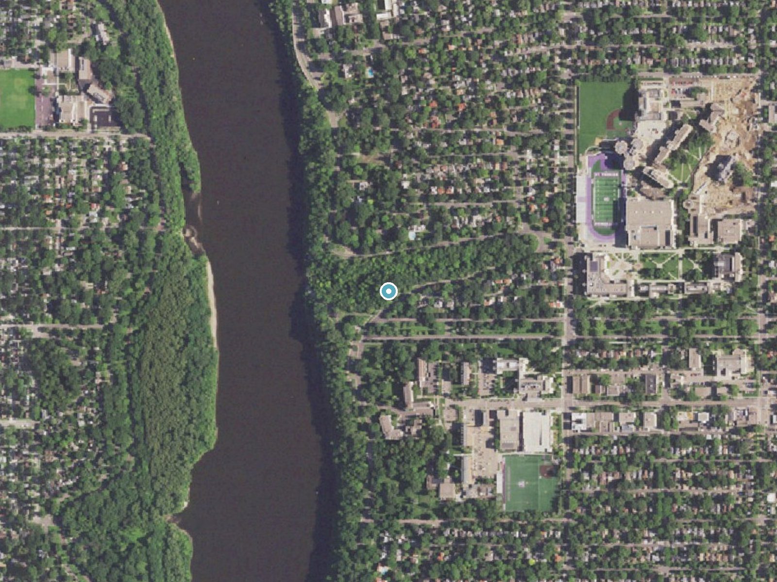
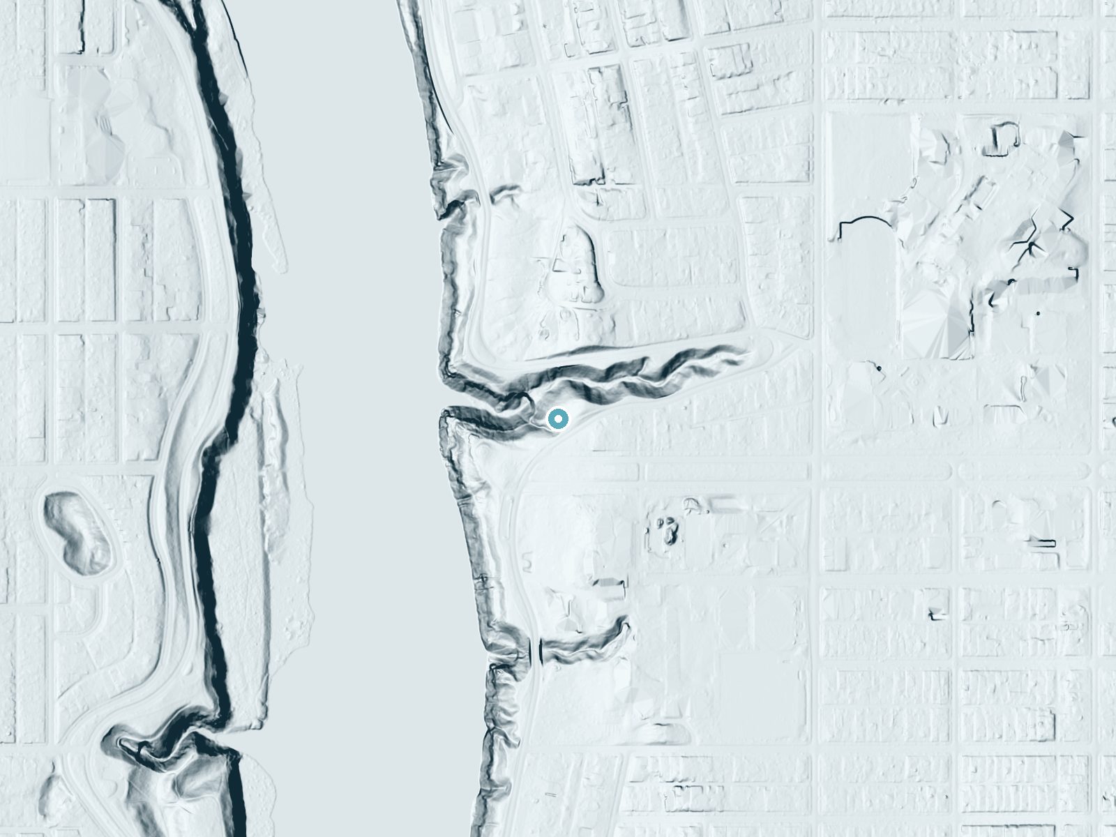
Drag to compare. The dot marks the waterfall. The frame is about a mile across.
- Ground elevation
- 843 feet
- Measured by 1-meter lidar
- Drop at the falls
- About 117 feet
- Change in ground height within ~250 feet of the falls
- Faces
- Northwest
- Glows in afternoon and evening light.
A slice through the lidar ground surface, from above the falls to downstream (heading northwest).
Elevation data: USGS 3D Elevation Program. Aerial imagery: USGS The National Map. Public domain.
Location & Access
Getting There
Shadow Falls is located in Shadow Falls Park, near Summit Avenue and Mississippi River Boulevard in Saint Paul, Minnesota. The trailhead can be accessed from the parking area near the intersection of Summit Avenue and Mississippi River Boulevard.
Get Directions on Google MapsParking
There is limited street parking available near the park entrance. Visitors should plan to arrive early during busy times to secure a spot.
Elevation
843 feet above sea level
Coordinates
44.942188° N, -93.197167° W
Land Management
Managed by CITY
Visitor Tips & Gear
Visit early in the morning or on weekdays to avoid crowds. Bring sturdy shoes, especially if visiting after rain, as the trail can be slippery. Consider combining your visit with a walk along the nearby Mississippi River Boulevard for scenic views.
Where to Stay
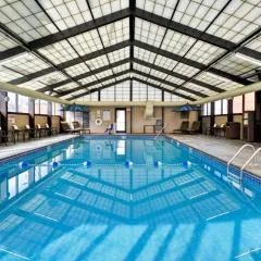
Hyatt Place Minneapolis Airport South
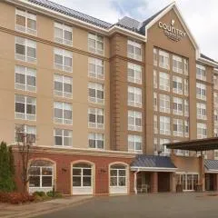
Country Inn & Suites by Radisson, Bloomington at Mall of America, MN

Embassy Suites by Hilton Minneapolis Airport

Cambria Hotel Bloomington Mall of America Minneapolis Airport
Browse vacation cabins and private rentals nearby
Unique outdoor stays — tents, yurts, and treehouses
Rent a campervan or RV for your waterfall road trip
Some links are affiliate links. We may earn a commission at no extra cost to you.
Additional Information
Nearby Attractions
Nearby attractions include the Mississippi River Boulevard walking and biking paths, Summit Avenue's historic homes, and the University of St. Thomas campus.
Wildlife
Visitors may see birds, squirrels, and other small woodland animals in the area.
Cities near Shadow Falls
Nearby Waterfalls
Other waterfalls named Shadow Falls
3 other waterfalls share this name across the U.S.
Writing about Shadow Falls? Embed this waterfall on your site for free.