Photo Credits (4)
Difficulty
Easy
Trail Length
6.3 km
Trail Type
Out And Back
Elevation Gain
161 m
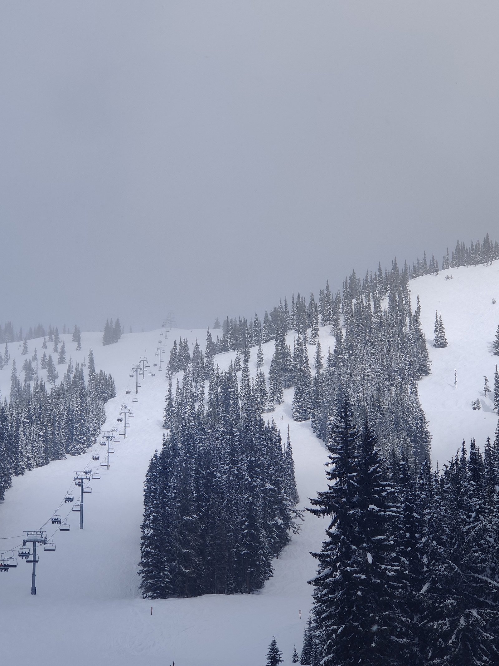
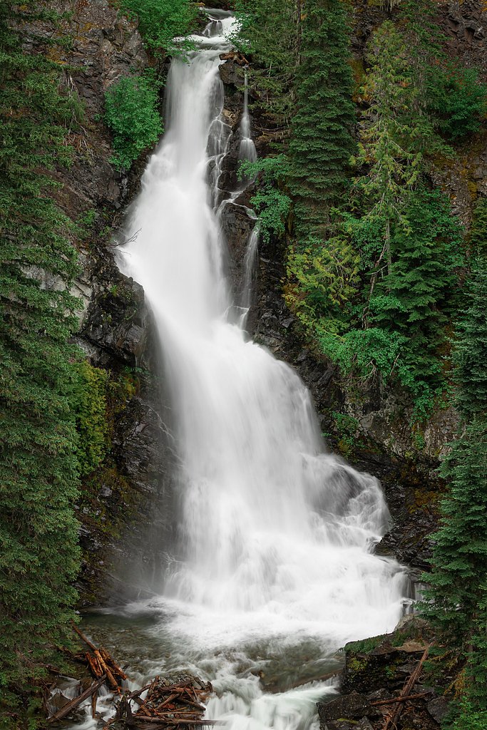
About Shadow Falls
Shadow Falls is a relatively remote cascade in southern British Columbia near the Skagit/Manning area (coordinates 49.0659, -120.9234). Visitor reports indicate a forested setting with mossy rock, steep creek banks and a shaded, narrow gorge in places. Flow and appearance vary seasonally, highest flows are typically during spring snowmelt and after heavy rain. Specifics about official name usage and exact vertical measurement appear to be limited or inconsistently recorded in public trail databases.
The Setting
Shadow Falls sits at 1,363 metres within E.C. Manning Park, in the mountains of British Columbia.
Why This Waterfall Exists
Shadow Falls flows over layered sedimentary rock laid down about 101-145 million years ago. Over time, the stream has worn through these layers at different rates, creating the step that forms the waterfall.
Nearby Falls Worth Visiting
Nepokekum Falls (70 m) lies 0.6 kilometres to the southwest. Also nearby: Nepopekum Falls (70 m, 1.0 km) and Derek Falls (23 m, 1.1 km).
Trail & Hike Details
The Approach
The easy 6.3-km out-and-back trail gains 161 metres of elevation on the way to the falls.
Trail Description
Trails and approaches to Shadow Falls are not consistently documented in official online trail databases. Approaches that visitors report may involve singletrack paths, bushwhacking or short scramble sections near the creek; expect rooted, uneven surfaces, and possibly steep, muddy slopes. Signage and maintained trail infrastructure may be sparse or absent. If you plan to hike in, bring navigation tools and allow extra time for route-finding.
What to Expect
A shaded, forested waterfall environment with variable flow depending on season. Expect wet, moss-covered rocks and potentially narrow viewing areas. Creek crossings may be required during higher flows. Limited facilities (no restrooms, no formal viewpoints) are likely. Cell service can be unreliable in this region.
Accessibility
The trail is not wheelchair accessible. Uneven terrain and elevation changes require steady footing.
Frequently Asked Questions
🐶 Are Dogs Allowed at Shadow Falls?
❌ Dogs are not allowed
Are There Any Fees or Permits Required?
🆖 No fees required
🏊 Is There Swimming at Shadow Falls?
❌ Swimming is not allowed
When to Visit
Late spring to early summer for highest flows and fullest appearance. Early fall can offer good weather and fewer insects. Winter access may be difficult or hazardous due to snow, ice and seasonal road closures; only experienced parties with appropriate gear should attempt winter visits.
Seasonal Access
The best time to visit is Spring, Summer, Fall, and Winter. Check with E.C. Manning Park for current conditions.
Safety Information
Hazards include slippery and mossy rocks, steep and unstable edges, fast-moving water during high flow, sudden weather changes, and limited cell service. Creek crossings can be hazardous after heavy rain or spring melt. Wear appropriate footwear, maintain safe distances from drop-offs, avoid climbing on wet rock near the falls, and do not attempt rescues beyond your ability. If hiking in bear country, carry bear spray and know how to use it.
Know when to go.
Get a free email alert when waterfalls near Chilliwack hit peak flow. We only send when conditions are worth the trip — no weekly newsletters, no spam.
Weather Forecast
Location & Access
Getting There
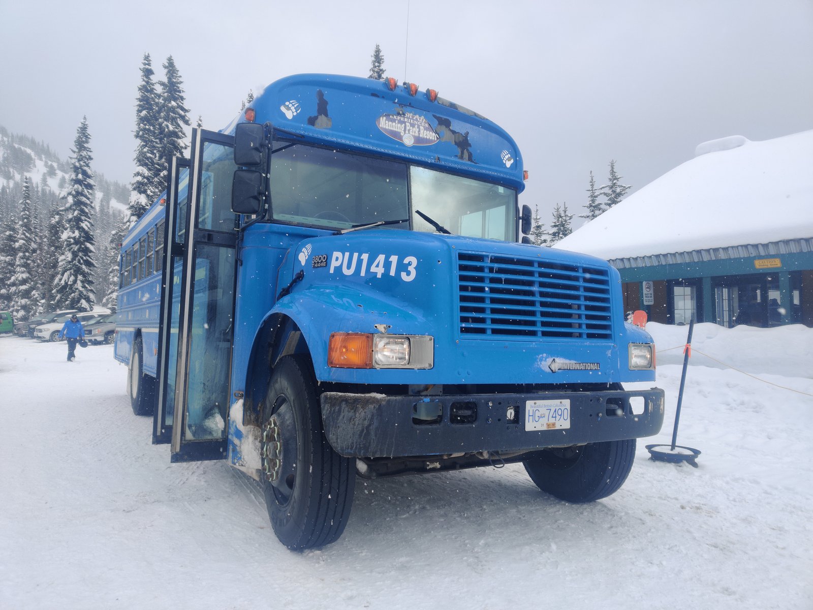
Access is likely via forest or logging roads and trailheads in the Manning/Skagit region; nearest larger communities include Chilliwack and Hope. Use the provided coordinates (49.0659, -120.9234) for GPS. Expect remote, potentially unmarked approaches; consider checking local park/forest service resources or recent trip reports before travel.
Get Directions on Google MapsParking
Parking may be limited to pullouts on gravel/forest roads or small unofficial lots. Park legally and avoid blocking gates or private access. Exact parking location and capacity are not well documented.
Elevation
1,363 metres above sea level
Coordinates
49.065856° N, -120.923444° W
Land Management
Managed by Government of British Columbia
Visitor Tips & Gear
1) Check current conditions with local park/forest authorities or recent trip reports before going. 2) Wear sturdy, waterproof footwear with good traction; trekking poles can help for uneven terrain. 3) Leave no trace: pack out everything and avoid creating new social trails. 4) Be cautious near edges and wet rocks; falls are a common hazard. 5) Expect limited or no cell reception, carry a map, compass, or GPS device and tell someone your plan.
As an Amazon Associate, we earn from qualifying purchases.
This easy 6.3 km hike is straightforward — comfortable trail shoes and plenty of water should do. Icy conditions are common in winter — traction cleats are a smart addition.

Columbia Watertight II Rain Jacket
Packs into its own pocket, seam-sealed, and keeps you dry from spray and surprise rain.

Polarized Sunglasses (Knockaround)
Cuts glare off the water so you actually see the falls — and your photos turn out better too.

Earth Pak Waterproof Dry Bag
Keeps your phone and gear dry when waterfall mist soaks everything else.

Waterproof Phone Pouch (AiRunTech)
Cheap insurance — take photos right next to the falls without killing your phone.

Kahtoola MICROspikes
Cult-favorite traction cleats that grip ice and wet rock — essential for winter waterfall hikes.

Sawyer Squeeze Water Filter
The backcountry standard — filters 99.9% of bacteria and weighs just 3 oz.
Where to Stay
Browse vacation cabins and private rentals nearby
Unique outdoor stays — tents, yurts, and treehouses
Rent a campervan or RV for your waterfall road trip
Some links are affiliate links. We may earn a commission at no extra cost to you.
Nearby Campground
Poland Lake Campground
3.6 km away
Nearby Hot Springs
Hot springs near Chilliwack, British Columbia
Baker Hot Spring
Baker Hot Spring emerges at 108 degrees Fahrenheit on US Forest Service land in Mt. Baker National Forest, flowing 59.5 degrees...
Dorr Fumarole Field
Dorr Fumarole Field reaches 194 degrees at 8,168 feet elevation on Mount Baker's active volcanic slopes, producing superheated ...

Sherman Crater Fumaroles
Sherman Crater Fumaroles register 266 degrees Fahrenheit at 9,463 feet elevation within the active volcanic crater atop Mount B...
Looking for a soak after your hike? Explore more hot springs near Chilliwack, British Columbia on SoakingSprings.
Explore British Columbia springsAdditional Information
Nearby Attractions
The general region includes the Skagit Valley / Ross Lake corridor, E.C. Manning Provincial Park and a number of alpine lakes and mountain routes. Exact proximity to named park facilities may vary; consult regional maps.
Wildlife
Typical southern BC interior wildlife may be present: black bear, cougar, deer, small mammals and a variety of birds. Practice wildlife safety: store food securely, make noise on approach, and carry bear spray where recommended.
Cities near Shadow Falls
Nearby Waterfalls
Other waterfalls named Shadow Falls
3 other waterfalls share this name across Canada.
Writing about Shadow Falls? Embed this waterfall on your site for free.