
Photo Credits (5)
Difficulty
Moderate
Trail Length
6.0 miles
Trail Type
Out And Back
Elevation Gain
900 ft
About Maidenhair Falls
Maidenhair Falls is a seasonal waterfall located in the Anza-Borrego Desert State Park in California. It is known for its lush greenery, including maidenhair ferns, which thrive in the oasis-like environment created by the waterfall. The falls are typically active after seasonal rains.
The Setting
Maidenhair Falls sits at 1,732 feet within Anza-Borrego Desert State Park, in the hills of California.
Trail & Hike Details
The Approach
The moderate 6.0-mile out-and-back trail gains 900 feet of elevation on the way to the falls.
Trail Description
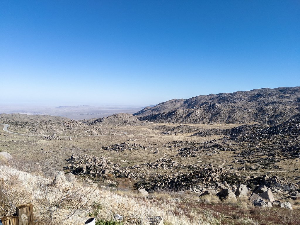
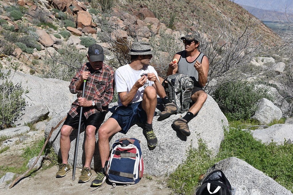
The trail to Maidenhair Falls begins at the Hellhole Canyon Trailhead and traverses a desert landscape with rocky terrain and sandy washes. As you approach the falls, the environment becomes greener, with palm trees and ferns marking the oasis. The trail involves some scrambling over rocks and boulders, especially near the waterfall.
What to Expect
Expect a moderately challenging hike with some rocky sections and potential scrambling near the falls. The waterfall is seasonal and may not flow during dry periods. The area around the falls is lush and shaded, providing a stark contrast to the surrounding desert.
Accessibility
The trail is not wheelchair accessible. Uneven terrain and elevation changes require steady footing.
Frequently Asked Questions
🐶 Are Dogs Allowed at Maidenhair Falls?
❌ Dogs are not allowed
Are There Any Fees or Permits Required?
🤑 Fee: $10.00
🏊 Is There Swimming at Maidenhair Falls?
❌ Swimming is not allowed
When to Visit
The best time to visit Maidenhair Falls is in the cooler months, typically from late fall to early spring, especially after seasonal rains when the waterfall is most likely to be flowing.
Seasonal Access
The best time to visit is Spring, Fall, and Winter.
Safety Information
Be prepared for desert conditions, including high temperatures and limited shade. Carry sufficient water and be aware of your surroundings to avoid getting lost. Watch for loose rocks and slippery surfaces near the falls.
Current Water Conditions
6.15 ft
Water depth at gauge
About This Gauge
7-Day Flow Outlook
Based on the USGS gauge BORREGO PALM C NR BORREGO SPRINGS CA (5 km away).
Best time of year: this gauge typically runs highest from early February to mid March, peaking in March.
How we calculate this
This is a transparent outlook, not a precise forecast. We take the waterfall's current flow strength (how it ranks against its historical normal for today, from the nearest USGS stream gauge), carry that ranking forward along the gauge's seasonal curve, and nudge it for forecast rain. Confidence is highest for the next day or two and falls further out. Always check official conditions and your own judgment before visiting — high flows can be dangerous.
Know when to go.
Get a free email alert when waterfalls near Borrego Springs hit peak flow. We only send when conditions are worth the trip — no weekly newsletters, no spam.
Weather Forecast
Location & Access
Getting There
Maidenhair Falls is accessed via the Hellhole Canyon Trail in Anza-Borrego Desert State Park. The trailhead is located near Borrego Springs, California, and can be reached by driving to the Hellhole Canyon parking area.
Get Directions on Google MapsParking
Parking is available at the Hellhole Canyon Trailhead. It is recommended to arrive early, especially during peak seasons, as parking may be limited.
Elevation
1,732 feet above sea level
Coordinates
33.236834° N, -116.440846° W
Land Management
Managed by SPR
Visitor Tips & Gear
Start your hike early to avoid the midday heat, especially in warmer months. Bring plenty of water, as the desert environment can be dehydrating. Wear sturdy hiking shoes for the rocky terrain, and consider bringing a map or GPS device as the trail may not always be well-marked.
As an Amazon Associate, we earn from qualifying purchases.
With 6.0 miles and 900 ft of elevation gain, sturdy boots and trekking poles will help on this moderate trail. Icy conditions are common in winter — traction cleats are a smart addition.

Columbia Watertight II Rain Jacket
Packs into its own pocket, seam-sealed, and keeps you dry from spray and surprise rain.

Earth Pak Waterproof Dry Bag
Keeps your phone and gear dry when waterfall mist soaks everything else.

Waterproof Phone Pouch (AiRunTech)
Cheap insurance — take photos right next to the falls without killing your phone.

Timberland Euro Sprint Mid Waterproof
Trusted waterproof boot with premium leather and grippy rubber sole — reliable on rocky, wet trails.

TrailBuddy Trekking Poles
Lightweight aluminum, cork grips, and flip-locks that actually hold — a best-seller for good reason.

Kahtoola MICROspikes
Cult-favorite traction cleats that grip ice and wet rock — essential for winter waterfall hikes.
Where to Stay

Borrego Springs Resort

Palm Canyon Hotel and RV Resort

Borrego Valley Inn

Quiet Mind Mountain Lodge, Retreat & Spa
Browse vacation cabins and private rentals nearby
Unique outdoor stays — tents, yurts, and treehouses
Rent a campervan or RV for your waterfall road trip
Some links are affiliate links. We may earn a commission at no extra cost to you.
Nearby Campground
Indian Flats Campground
14.8 miles away · 0 sites
17 sites. Pacific Crest Trail Access. No Water. The nearest water can be found at the Warner Springs Gas Station. Indian Flats will be temporarily closed for Arroyo Toad protection during breeding season beginning April 1st through at least May 31st.
Book on Recreation.govNearby Hot Springs
Hot springs near Borrego Springs, California
Warner Hot Spring
Warner Hot Springs reaches 138°F in the mountains northeast of San Diego, among California's hottest documented springs. Sittin...

Vallecitos Spring
Vallecitos Spring flows at 79 degrees in San Diego County's Laguna Mountains, producing water only 10.8 degrees above ambient t...

Agua Caliente Springs
Agua Caliente Springs flows at 101°F (38°C) in Anza-Borrego Desert State Park, a geothermal oasis that rises just 30 degrees ab...
Fish Springs
Fish Springs emerges at 90°F at the remarkable elevation of minus 224 feet in Imperial County, making it one of North America's...
Unnamed Spring Riverside County 1
This unnamed warm spring emerges on the Cahuilla Reservation in Riverside County near Anza at 3,600 feet elevation, representin...
Agua Tibia Spring
Agua Tibia Spring emerges at 92°F (33°C) near Rainbow in San Diego's foothills, where the name aptly means warm water in Spanis...
Looking for a soak after your hike? Explore more hot springs near Borrego Springs, California on SoakingSprings.
Explore California springsAdditional Information
Nearby Attractions
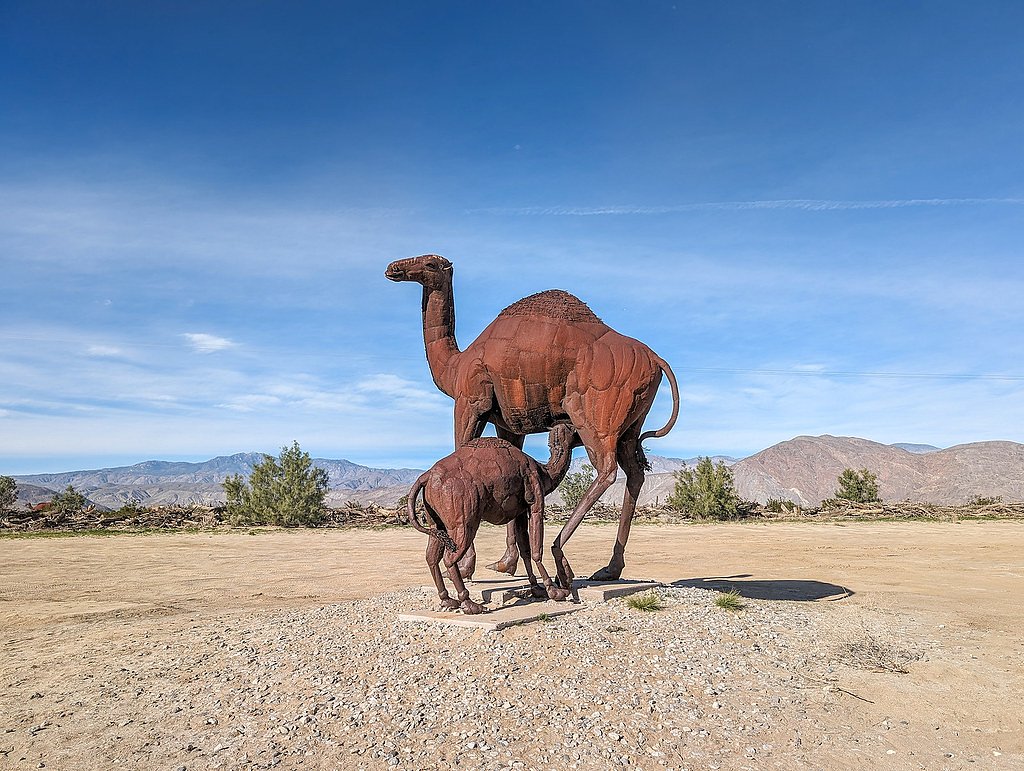
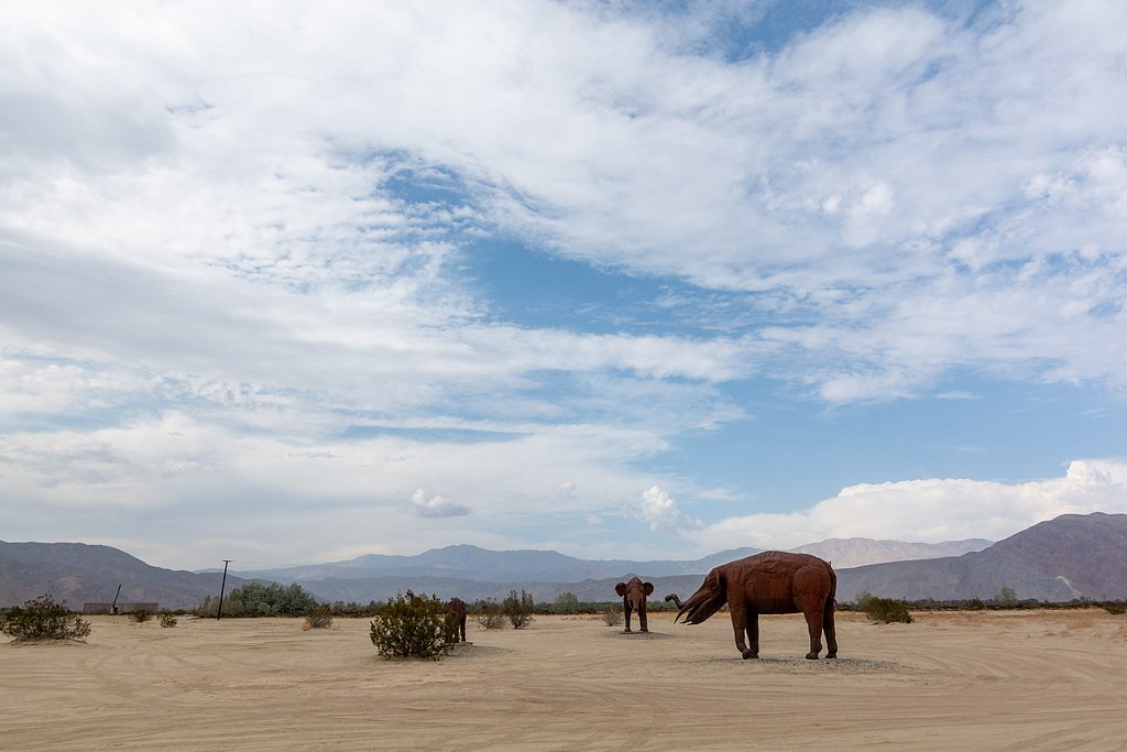
Other attractions in Anza-Borrego Desert State Park include Borrego Palm Canyon, Fonts Point, and the Slot Canyon.
Wildlife
The area is home to desert wildlife such as lizards, birds, and occasionally bighorn sheep. Be cautious of rattlesnakes, especially in warmer months.
Cities near Maidenhair Falls
Other waterfalls named Maidenhair Falls
2 other waterfalls share this name across the U.S.
Writing about Maidenhair Falls? Embed this waterfall on your site for free.