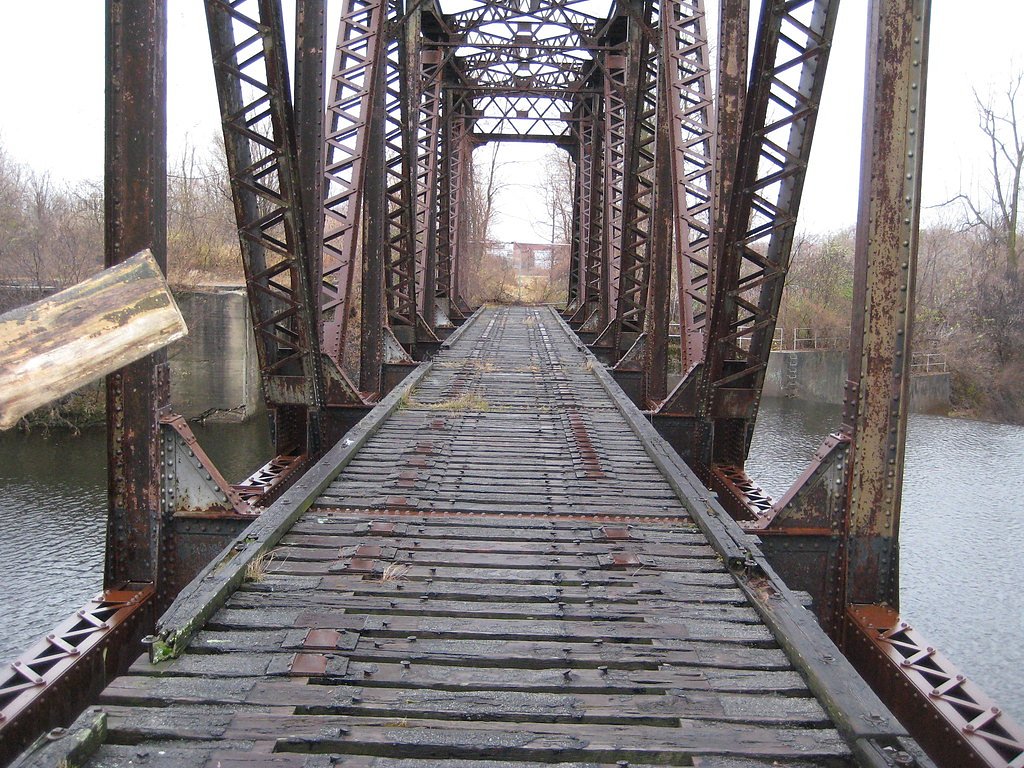
Great Falls
New York • 25 ft
By Armen Suny · Last verified Oct 2026
LiDAR & 3D terrain


Photo Credits (5)
Difficulty
Drive Up
Trail Type
Out And Back
About Great Falls
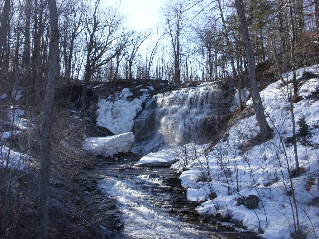
Great Falls, also called Black River Falls or Watertown Falls, is a 25-foot drop on the Black River in downtown Watertown, capped by a dam that has powered mills for many years. It is seen from the Mill Street bridge and sidewalk just south of Main Avenue.
The Setting
Great Falls sits at 430 feet in the coastal lowlands of New York. The falls drop 25 feet.
Height: 25 feet
Trail & Hike Details
The Approach
No hiking required. Great Falls is accessible by vehicle with a roadside viewing area.
Trail Description
No trail. Walk a minute or two on city sidewalks to the Mill Street bridge or the east-side Mill Street sidewalk.
What to Expect
The falls drop a gentle 25 feet.
Accessibility
This waterfall is viewable from a vehicle-accessible area. No hiking is required.
Frequently Asked Questions
🐶 Are Dogs Allowed at Great Falls?
❌ Dogs are not allowed
Are There Any Fees or Permits Required?
🆖 No fees required
🏊 Is There Swimming at Great Falls?
❌ Swimming is not allowed
When to Visit
Spring, when flow on the Black River is highest.
Seasonal Access
The best time to visit is Spring, Summer, and Fall. Winter access may be limited.
Safety Information
Mill Street is busy; cross at intersections.
Current Water Conditions
These readings come from the USGS gauge on Black River, 1.1 miles away, not on Great Falls's own stream. Use them as a sign of whether the area is running wet or dry.
3,860 ft³/s
Current discharge — how much water is flowing
About average for this time of year
Based on 106 years of record
4.53 ft
Water depth at gauge
7-Day Discharge Trend
What does this mean for your visit?
Flow is about average for this time of year.
About This Gauge
7-Day Flow Outlook
Based on the USGS gauge BLACK RIVER AT WATERTOWN NY (2 km away).
Today
Strong
4169 cfs
8/10Tomorrow
Strong
4080 cfs
9/10Sat
Strong
4203 cfs
8/10Sun
Strong
4523 cfs
8/10Mon
Strong
4396 cfs
10/10Tue
Strong
4206 cfs
10/10Wed
Strong
4269 cfs
10/10Best window: Mon — strong flow, partly sunny (trip score 10/10).
Best time of year: this gauge typically runs highest from mid March to mid May, peaking in April.
How we calculate this
This is a transparent outlook, not a precise forecast. We take the waterfall's current flow strength (how it ranks against its historical normal for today, from the nearest USGS stream gauge), carry that ranking forward along the gauge's seasonal curve, and nudge it for forecast rain. Confidence is highest for the next day or two and falls further out. Always check official conditions and your own judgment before visiting — high flows can be dangerous.
Know when to go.
Get a free email alert when waterfalls near Watertown hit peak flow. We only send when conditions are worth the trip — no weekly newsletters, no spam.
Is Great Falls Frozen?
Updated about 6 hours agoNot frozen highs above freezing lately big river, rarely freezes solid
Great Falls is not frozen right now; highs have been above freezing. Yesterday ran 50°F to 35°F.
- Days below freezing
- 0 of the last 14
- Current cold streak
- 0 days
- Freezing days ahead
- 0 of the next 7
- Flow
- 3940 ft³/s
Winter safety. Frozen falls are the one waterfall trip with a documented injury pattern: falling ice, and ice-glazed rock and trail. Wear microspikes, keep well back from the base and from overhangs, and never walk out on ice over moving water.
Estimate from Open-Meteo daily temperatures at the falls, the LiDAR-measured facing direction, and the nearest stream gauge. It is a likelihood, not a report from the trail. See every frozen waterfall in New York.
Weather Forecast
The Terrain, Seen by LiDAR
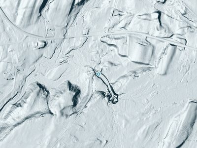
Aircraft-mounted lasers measured this ground to within inches. Trees and buildings are digitally stripped away, leaving the bare shape of the land the water has carved.
Here the descent is spread out: 1-meter lidar measures about 55 feet of drop through Great Falls, stretched along the creek rather than stacked in one wall. That is more than the listed 25 feet because the gorge keeps dropping below the falls themselves. The brink sits at about 402 feet above sea level.
Both above and below, the ground is gentle; the falls are the one abrupt step in an otherwise easy-going creek. The falls face west and glow in afternoon and evening light.
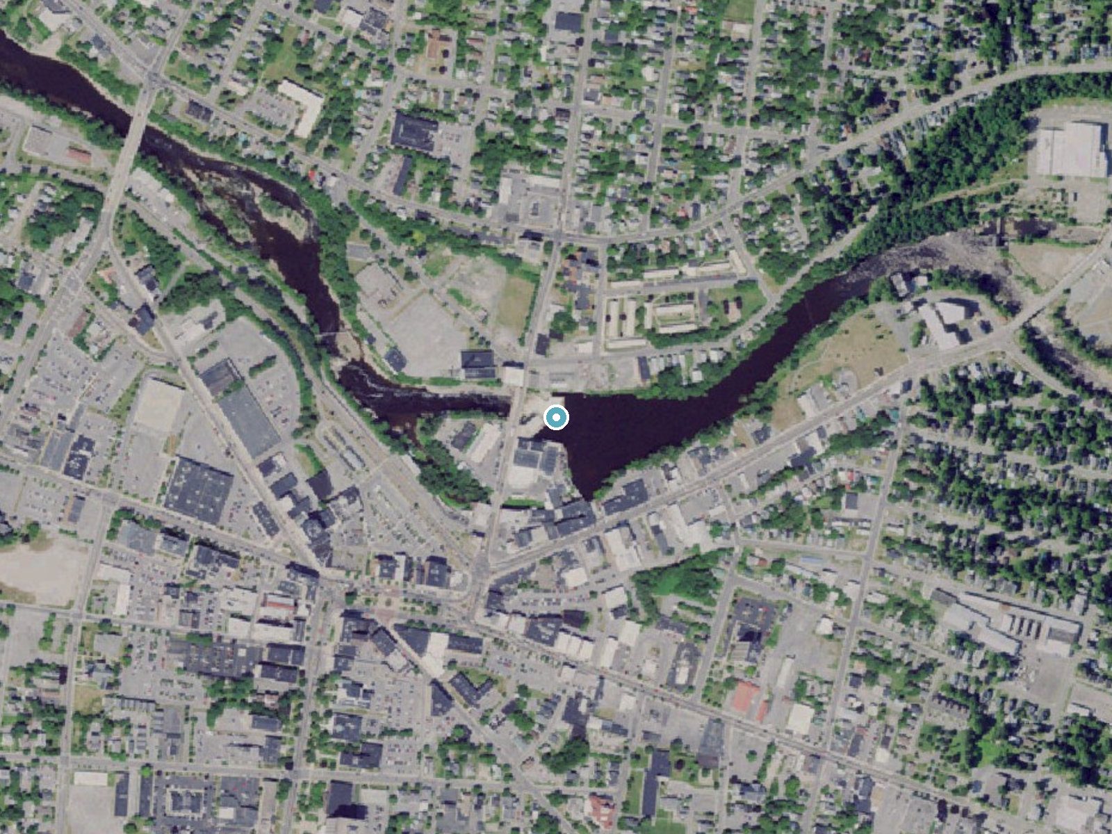
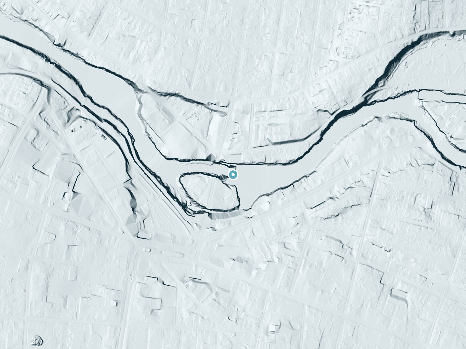
Drag to compare. The dot marks the waterfall. The frame is about a mile across.
- Ground elevation
- 402 feet
- Measured by 1-meter lidar
- Drop at the falls
- About 55 feet
- Change in ground height within ~250 feet of the falls
- Faces
- West
- Glows in afternoon and evening light.
A slice through the lidar ground surface, from above the falls to downstream (heading west).
Elevation data: USGS 3D Elevation Program. Aerial imagery: USGS The National Map. Public domain.
Location & Access
Getting There
From I-81 exit 47, follow NY 12 (Bradley Street) toward downtown Watertown. The falls are at the Mill Street bridge over the Black River, just south of Main Avenue and north of Public Square.
Get Directions on Google MapsParking
Street parking nearby, including on Main Avenue just north of the river. The auto parts store lot south of the bridge is private property.
Elevation
430 feet above sea level
Coordinates
43.977010° N, -75.906576° W
Visitor Tips & Gear
For a framed view below the Mill Street bridge, look while driving east on Black River Parkway.
Where to Stay

Comfort Inn & Suites Watertown - 1000 Islands

Days Inn by Wyndham Watertown Fort Drum

Quality Inn & Suites Watertown Fort Drum

Holiday Inn Express Hotel & Suites Watertown - Thousand Islands by IHG
Browse vacation cabins and private rentals nearby
Unique outdoor stays — tents, yurts, and treehouses
Rent a campervan or RV for your waterfall road trip
Some links are affiliate links. We may earn a commission at no extra cost to you.
Additional Information
Nearby Attractions
Public Square in downtown Watertown and other falls and rapids on the Black River.
Cities near Great Falls
Nearby Waterfalls
 LiDAR
Other waterfalls named Great Falls
12 other waterfalls share this name across the U.S.
Writing about Great Falls? Embed this waterfall on your site for free.