Photo Credits (5)
Difficulty
Moderate
Trail Length
2.4 miles
Trail Type
Out And Back
Elevation Gain
350 ft
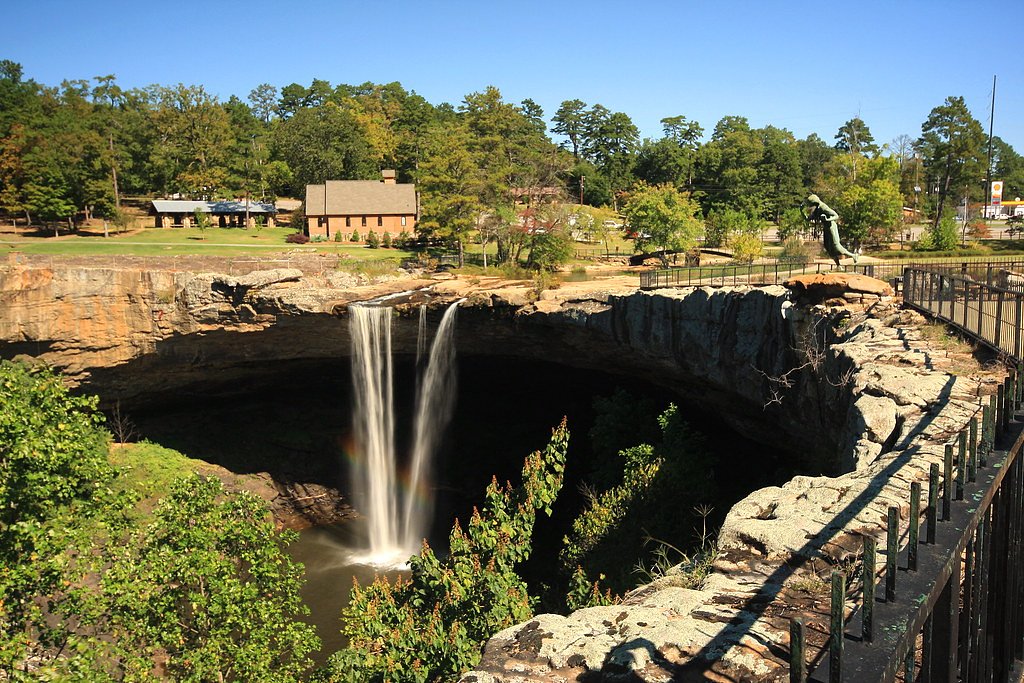
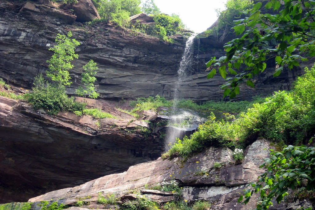
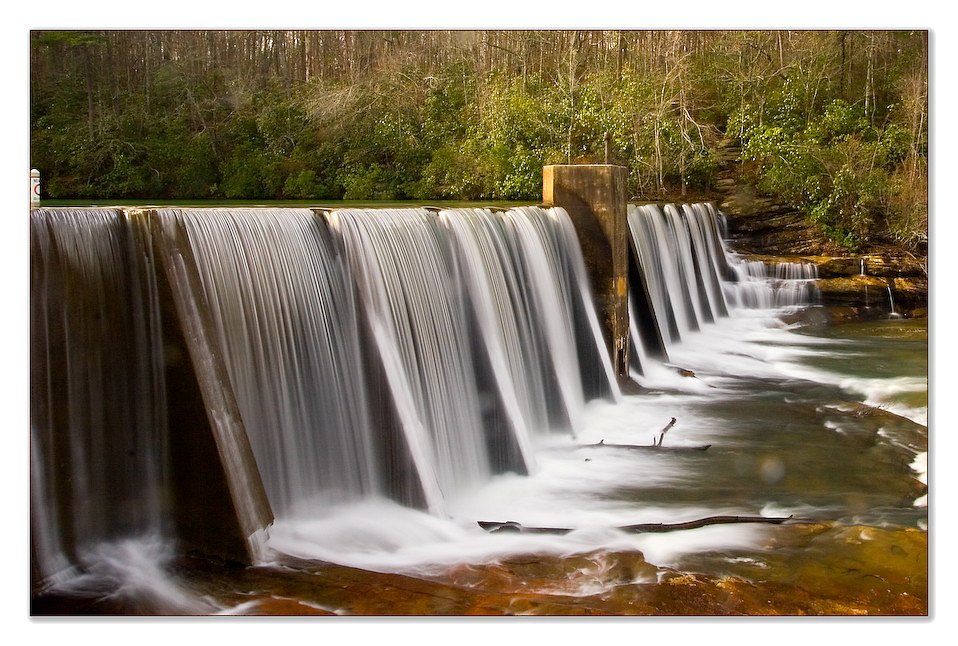
About Great Falls
Great Falls is a scenic Alabama cascade prized for its photogenic drop and the quiet, wooded setting that surrounds it. The falls draw nature lovers and photographers looking for a compact outing with a rewarding viewpoint where the water tumbles over rocky ledges into a tree-lined pool. Access to the falls is typically via a short out-and-back hike of about 2.4 miles round trip with roughly 350 feet of elevation gain. The route is rated moderate, making it a good half-day option for hikers with some experience who want a relatively brief but satisfying trail-to-waterfall experience.
The Setting
Great Falls sits at 968 feet along the Talladega Creek, in the foothills of Alabama.
Trail & Hike Details
The Approach
The moderate 2.4-mile out-and-back trail gains 350 feet of elevation on the way to the falls.
Trail Description
Out-and-back trail, approximately 2.4 miles round trip with about 350 feet of elevation gain; rated moderate. The route follows a well-maintained path from the trailhead to a viewing area overlooking the falls. Specific USFS trail surface, grade, and technical class are not provided in the available trail data.
What to Expect
Dogs are welcome.
Accessibility
The trail is not wheelchair accessible. Uneven terrain and elevation changes require steady footing.
Frequently Asked Questions
🐶 Are Dogs Allowed at Great Falls?
✅ Dogs are allowed
Are There Any Fees or Permits Required?
🤑 Fee: $4.00
🏊 Is There Swimming at Great Falls?
❌ Swimming is not allowed
When to Visit
Spring and early summer are the best times to visit, as the waterfall flow is typically stronger due to seasonal rainfall.
Seasonal Access
The best time to visit is Spring, Summer, and Fall. Winter access may be limited.
Safety Information
Exercise caution near the waterfall as rocks can be slippery. Avoid visiting during heavy rain or after storms, as water levels may rise rapidly.
Current Water Conditions
105 ft³/s
Current discharge — how much water is flowing
About average for this time of year
Based on 54 years of record
3.64 ft
Water depth at gauge
7-Day Discharge Trend
What does this mean for your visit?
Flow is about average for this time of year.
About This Gauge
This gauge is on a nearby waterway and may not reflect exact conditions at the falls.
7-Day Flow Outlook
Based on the USGS gauge TALLADEGA CREEK AT ALPINE AL (23 km away).
Today
Barely Flowing
106 cfs
5/10Tomorrow
Low
133 cfs
3/10Wed
Barely Flowing
122 cfs
5/10Thu
Low
118 cfs
3/10Fri
Low
123 cfs
3/10Sat
Low
118 cfs
3/10Sun
Low
136 cfs
3/10Best window: Today — barely flowing flow, sunny (trip score 5/10).
Best time of year: this gauge typically runs highest from early February to late April, peaking in March.
How we calculate this
This is a transparent outlook, not a precise forecast. We take the waterfall's current flow strength (how it ranks against its historical normal for today, from the nearest USGS stream gauge), carry that ranking forward along the gauge's seasonal curve, and nudge it for forecast rain. Confidence is highest for the next day or two and falls further out. Always check official conditions and your own judgment before visiting — high flows can be dangerous.
Know when to go.
Get a free email alert when waterfalls near Millerville hit peak flow. We only send when conditions are worth the trip — no weekly newsletters, no spam.
Weather Forecast
Location & Access
Getting There
Great Falls is located near the town of Geraldine, Alabama, within the High Falls Park area. It is accessible by car, and visitors can follow signs to the park.
Get Directions on Google MapsParking
Parking is available at High Falls Park, which provides access to the waterfall.
Elevation
968 feet above sea level
Coordinates
33.250670° N, -86.018302° W
Visitor Tips & Gear
Visit early in the day to avoid crowds, especially on weekends. Wear sturdy shoes as the area near the falls may be slippery. Bring water and snacks if you plan to spend time exploring the park.
As an Amazon Associate, we earn from qualifying purchases.
With 2.4 miles and 350 ft of elevation gain, sturdy boots and trekking poles will help on this moderate trail. Sun exposure on the trail makes good sun protection a must in summer.

Polarized Sunglasses (Knockaround)
Cuts glare off the water so you actually see the falls — and your photos turn out better too.

Columbia Watertight II Rain Jacket
Packs into its own pocket, seam-sealed, and keeps you dry from spray and surprise rain.

Earth Pak Waterproof Dry Bag
Keeps your phone and gear dry when waterfall mist soaks everything else.

Waterproof Phone Pouch (AiRunTech)
Cheap insurance — take photos right next to the falls without killing your phone.

Timberland Euro Sprint Mid Waterproof
Trusted waterproof boot with premium leather and grippy rubber sole — reliable on rocky, wet trails.

TrailBuddy Trekking Poles
Lightweight aluminum, cork grips, and flip-locks that actually hold — a best-seller for good reason.
Where to Stay

Postcard Cabins Talladega Valley, Outdoor Collection by Marriott Bonvoy

The Chapman House

Days Inn by Wyndham Childersburg

Super 8 by Wyndham Talladega AL
Browse vacation cabins and private rentals nearby
Unique outdoor stays — tents, yurts, and treehouses
Rent a campervan or RV for your waterfall road trip
Some links are affiliate links. We may earn a commission at no extra cost to you.
Nearby Campground
Turnipseed Campground
16.9 miles away · 0 sites
Enjoy nature at its best especially during the fall when mother nature dazzles you with an array of vibrant colors. This primitive camp is located near the Cheaha Wilderness Area and offers camping and hiking. Turnipseed Camp has sanitary facilities.
Book on Recreation.govAdditional Information
Nearby Attractions
High Falls Park offers picnic areas and additional trails for exploration. Nearby towns like Geraldine and Albertville provide dining and shopping options.
Wildlife
The area is home to various bird species, small mammals, and reptiles. Visitors may also spot fish in the nearby river.
Cities near Great Falls
Nearby Waterfalls
Other waterfalls named Great Falls
12 other waterfalls share this name across the U.S.
Writing about Great Falls? Embed this waterfall on your site for free.