Florence Falls
Montana • Glacier National Park
By Armen Suny · Last verified Mar 2026
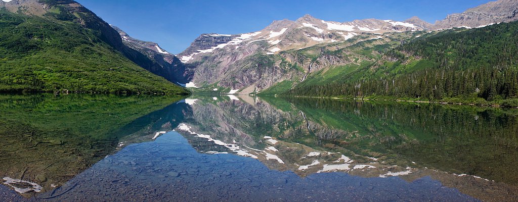
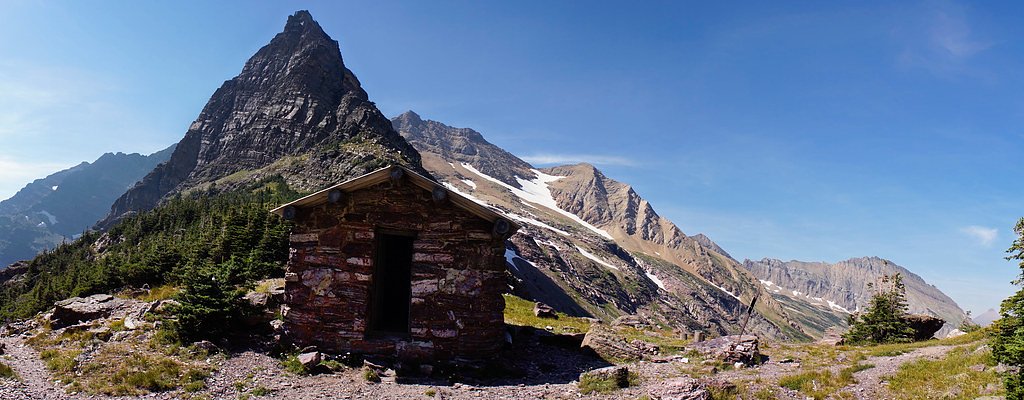
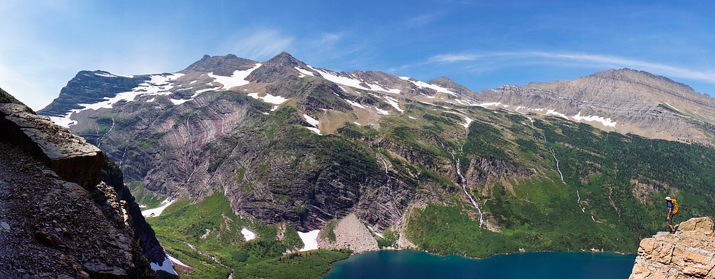
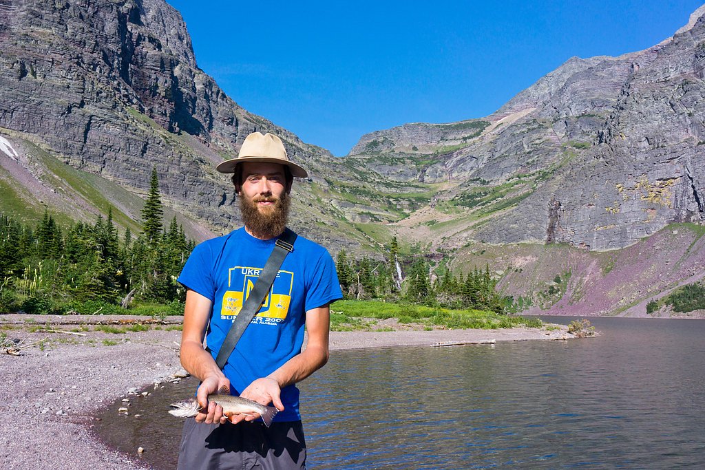
Photo Credits (5)
Difficulty
Moderate
Trail Length
2.4 miles
Trail Type
Out And Back
Elevation Gain
350 ft
About Florence Falls
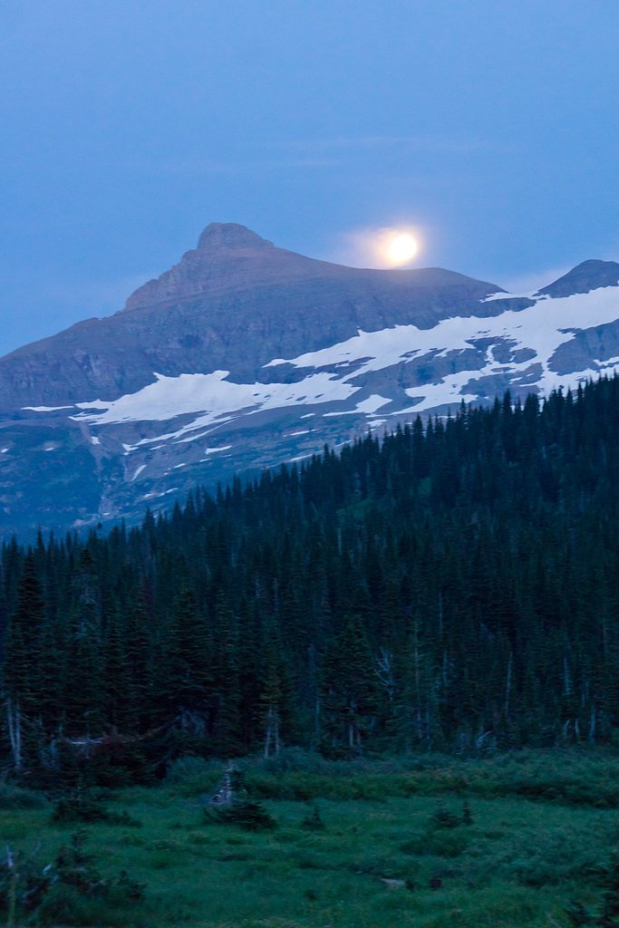
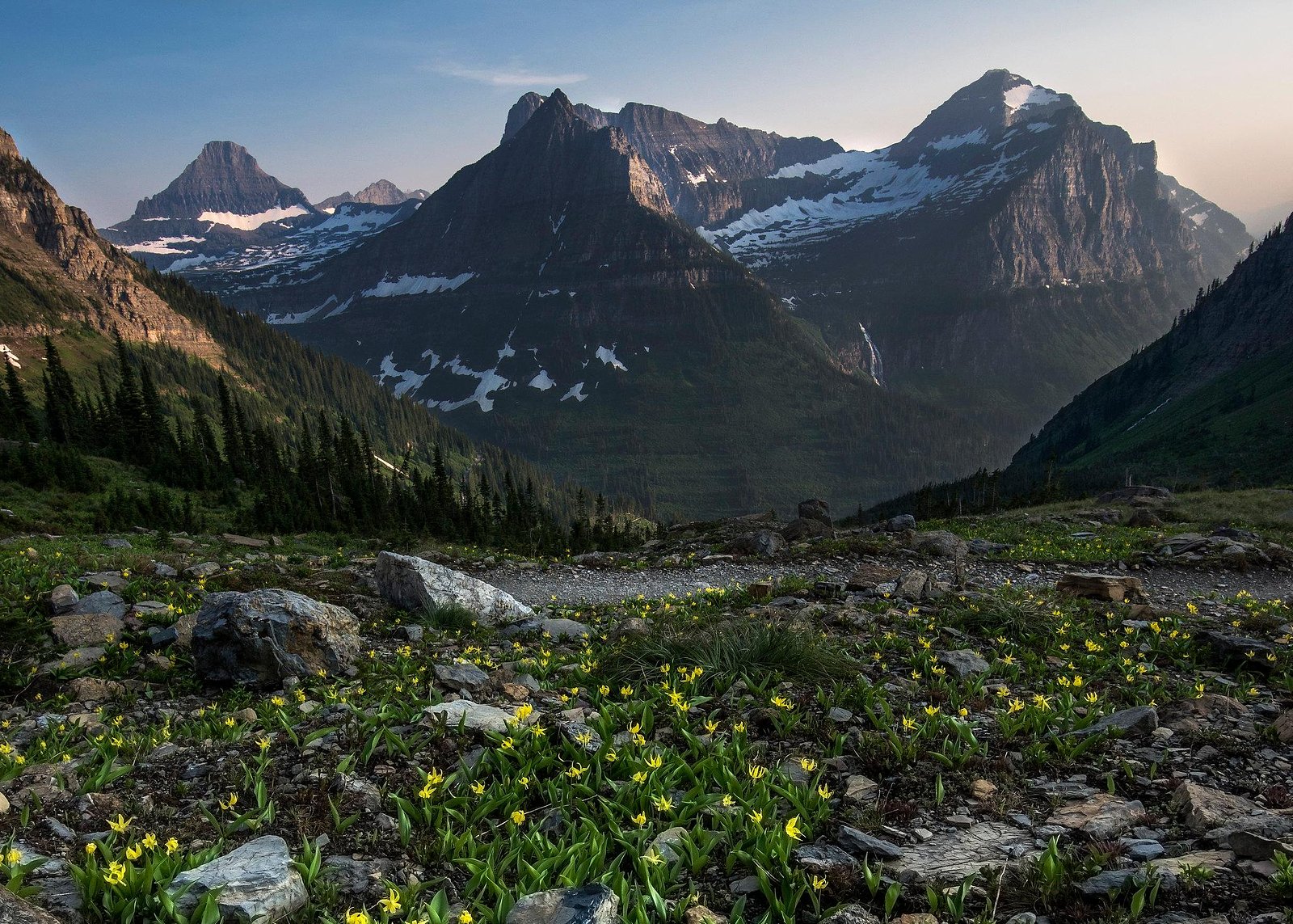
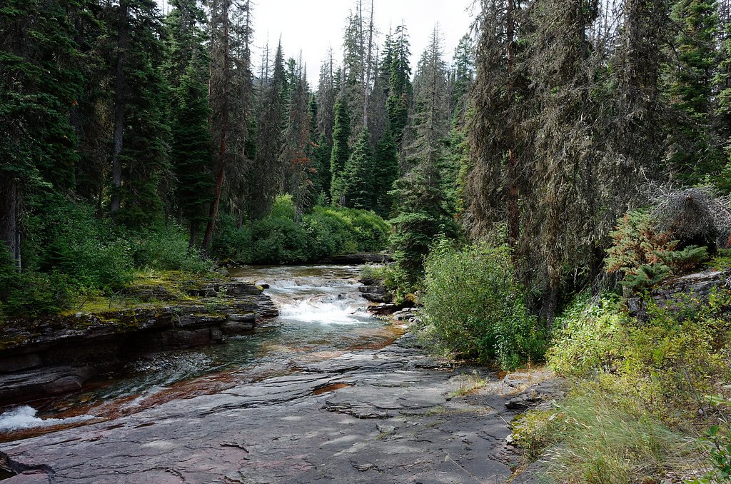
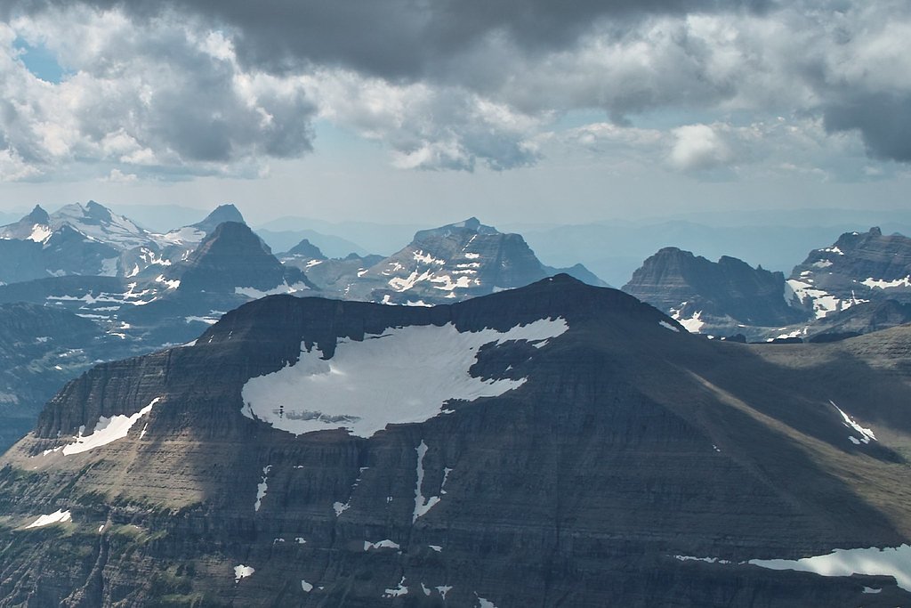
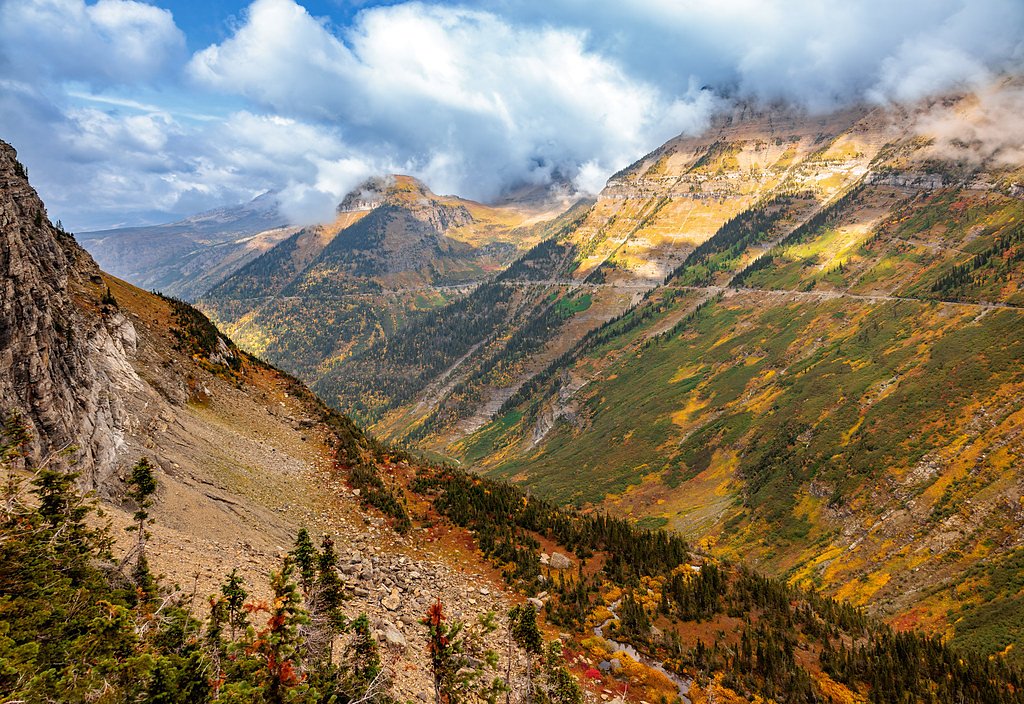
Florence Falls tumbles through a pocket of forested relief in Glacier National Park, offering a peaceful reward tucked into the park’s glacially carved landscape. Managed by the National Park Service, the falls sit amid the rugged mountains and alpine forests that define Glacier — a park established in 1910 and celebrated for its dramatic ridgelines, cirques, and clear mountain streams. The setting is quietly photogenic, making the falls a great stop for hikers who enjoy shaded trails and mossy rock outcrops. The waterfall is reached via a moderate out-and-back route that suits day hikers and families who are comfortable with some uphill walking. Avalanche Campground is nearby (about 9.67 km away), providing a convenient campsite for overnight stays and early starts to beat the crowds. With the park’s sweeping scenery as a backdrop, Florence Falls makes for an inviting short excursion while exploring Glacier National Park’s famed terrain.
The Setting
Florence Falls sits at 4,908 feet within Glacier National Park, fed by the Swiftcurrent Creek, in the mountains of Montana.
Trail & Hike Details
The Approach
The moderate 2.4-mile out-and-back trail gains 350 feet of elevation on the way to the falls.
Trail Description
The trail to Florence Falls is an out-and-back route roughly 2.4 miles long with about 350 feet of elevation gain and is rated moderate. This route is managed within Glacier National Park by the National Park Service; specific trail surface, grade, or official trail class details are not specified in the provided park data. Hikers can expect a typical mountain-park outing—steady uphill sections on the return—with clear trail signage in National Park Service-maintained areas. Avalanche Campground lies about 9.67 km from the trailhead for those planning to camp nearby.
What to Expect
Dogs are welcome.
Accessibility
The trail is not wheelchair accessible. Uneven terrain and elevation changes require steady footing.
Frequently Asked Questions
🐶 Are Dogs Allowed at Florence Falls?
✅ Dogs are allowed
Are There Any Fees or Permits Required?
🆖 No fees required
🏊 Is There Swimming at Florence Falls?
❌ Swimming is not allowed
When to Visit
The best time to visit Florence Falls is in late spring or early summer when the waterfall is at its fullest due to snowmelt. Fall is also a great time to visit for cooler temperatures and vibrant foliage.
Seasonal Access
The best time to visit is Spring, Summer, and Fall. Winter access may be limited. Check with Glacier National Park for current conditions.
Safety Information
Be cautious of slippery rocks near the waterfall and watch for wildlife, including bears. Carry bear spray and make noise while hiking to avoid surprising animals. Check trail conditions before your visit, especially during spring and fall when the trail may be muddy or icy.
Current Water Conditions
241 ft³/s
Current discharge — how much water is flowing
Lower than usual for this time of year
Based on 114 years of record
2.33 ft
Water depth at gauge
7-Day Discharge Trend
What does this mean for your visit?
Flow is lower than usual for this time of year.
About This Gauge
This gauge is on a nearby waterway and may not reflect exact conditions at the falls.
7-Day Flow Outlook
Based on the USGS gauge Swiftcurrent Creek at Many Glacier MT (17 km away).
Today
Moderate
275 cfs
4/10Tomorrow
Moderate
279 cfs
4/10Sat
Moderate
286 cfs
4/10Sun
Moderate
265 cfs
5/10Mon
Moderate
252 cfs
5/10Tue
Moderate
254 cfs
5/10Wed
Moderate
262 cfs
4/10Best window: Sun — moderate flow, rain showers (trip score 5/10).
Best time of year: this gauge typically runs highest from late April to late July, peaking in June.
How we calculate this
This is a transparent outlook, not a precise forecast. We take the waterfall's current flow strength (how it ranks against its historical normal for today, from the nearest USGS stream gauge), carry that ranking forward along the gauge's seasonal curve, and nudge it for forecast rain. Confidence is highest for the next day or two and falls further out. Always check official conditions and your own judgment before visiting — high flows can be dangerous.
Know when to go.
Get a free email alert when waterfalls near Saint Mary hit peak flow. We only send when conditions are worth the trip — no weekly newsletters, no spam.
Weather Forecast
Location & Access
Getting There
Florence Falls is accessed via the Blodgett Canyon Trailhead, located near Hamilton, Montana. The trailhead is reachable by car, and directions are well-marked from the town of Hamilton.
Get Directions on Google MapsParking
Parking is available at the Blodgett Canyon Trailhead. The lot may fill up during peak seasons, so arriving early is recommended.
Elevation
4,908 feet above sea level
Coordinates
48.650669° N, -113.692797° W
Land Management
Managed by NPS
Visitor Tips & Gear
Wear sturdy hiking shoes and bring plenty of water, as the trail can be rocky and has some elevation gain. Start early to avoid crowds and ensure you have enough daylight for the hike. Check weather conditions before heading out, especially in spring and fall when the trail may be muddy or slippery.
As an Amazon Associate, we earn from qualifying purchases.
With 2.4 miles and 350 ft of elevation gain, sturdy boots and trekking poles will help on this moderate trail. Sun exposure on the trail makes good sun protection a must in summer.
America the Beautiful Annual Pass
Covers entrance fees at 2,000+ federal recreation sites — required at most National Parks.

Polarized Sunglasses (Knockaround)
Cuts glare off the water so you actually see the falls — and your photos turn out better too.

Columbia Watertight II Rain Jacket
Packs into its own pocket, seam-sealed, and keeps you dry from spray and surprise rain.

Earth Pak Waterproof Dry Bag
Keeps your phone and gear dry when waterfall mist soaks everything else.

Waterproof Phone Pouch (AiRunTech)
Cheap insurance — take photos right next to the falls without killing your phone.

Timberland Euro Sprint Mid Waterproof
Trusted waterproof boot with premium leather and grippy rubber sole — reliable on rocky, wet trails.

TrailBuddy Trekking Poles
Lightweight aluminum, cork grips, and flip-locks that actually hold — a best-seller for good reason.
Where to Stay

St. Mary Village

Chief Mountain Cabins

Glacier Borealis - 27’ Glamping Trailer by Glacier

Walsh Cottage on the shores of Lake McDonald
Browse vacation cabins and private rentals nearby
Unique outdoor stays — tents, yurts, and treehouses
Rent a campervan or RV for your waterfall road trip
Some links are affiliate links. We may earn a commission at no extra cost to you.
Nearby Campground
Avalanche Campground
6 miles away · 91 sites
Overview Avalanche campground is located in one of the most popular sections of Glacier National Park west of the Continental Divide. The campground accommodates tent and RV campers. However, only 50 sites will accommodate vehicle lengths up to 26 feet. All sites require a reservation. Most sites have a 6-month booking window with a good handful having a 4-day booking window. Recreation Avalanche is in one of the most popular sections of Glacier National Park west of the Continental Divide. Two p
Book on Recreation.govAdditional Information
Nearby Attractions
Blodgett Canyon Overlook, Lake Como, and the town of Hamilton, Montana.
Wildlife
The area is home to a variety of wildlife, including deer, birds, and occasionally bears. Be prepared and carry bear spray.
Cities near Florence Falls
Nearby Waterfalls
Other waterfalls named Florence Falls
1 other waterfall shares this name across the U.S.
Writing about Florence Falls? Embed this waterfall on your site for free.