
Siksika Falls
Montana • Glacier National Park
By Armen Suny · Last verified May 2026

Photo Credits (2)
Difficulty
Moderate
Trail Length
2.4 miles
Trail Type
Out And Back
Elevation Gain
350 ft
About Siksika Falls
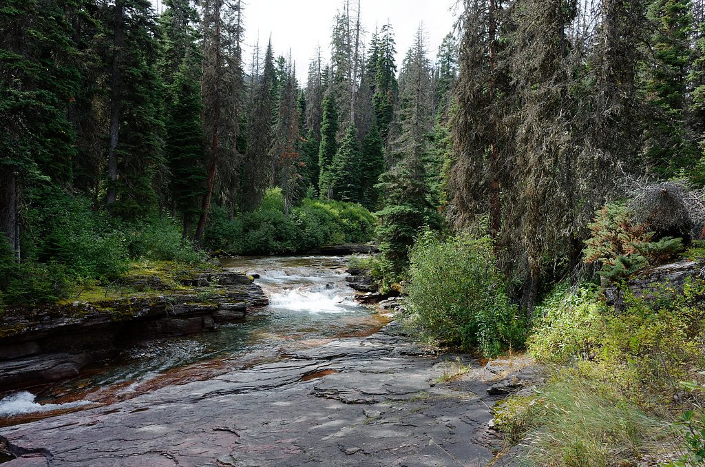
Siksika Falls is a scenic waterfall tucked inside Glacier National Park in Montana, managed by the National Park Service. The falls offer a peaceful spot to enjoy cascading water and the surrounding forested landscape, making it a pleasant destination for hikers exploring the park's quieter corners. Access to the falls follows a moderate out-and-back route of about 2.4 miles with roughly 350 feet of elevation gain, so it’s well suited to hikers looking for a short outing with a bit of climb. As the falls lie within Glacier National Park, visitors should observe park regulations and practice Leave No Trace to help keep the area pristine.
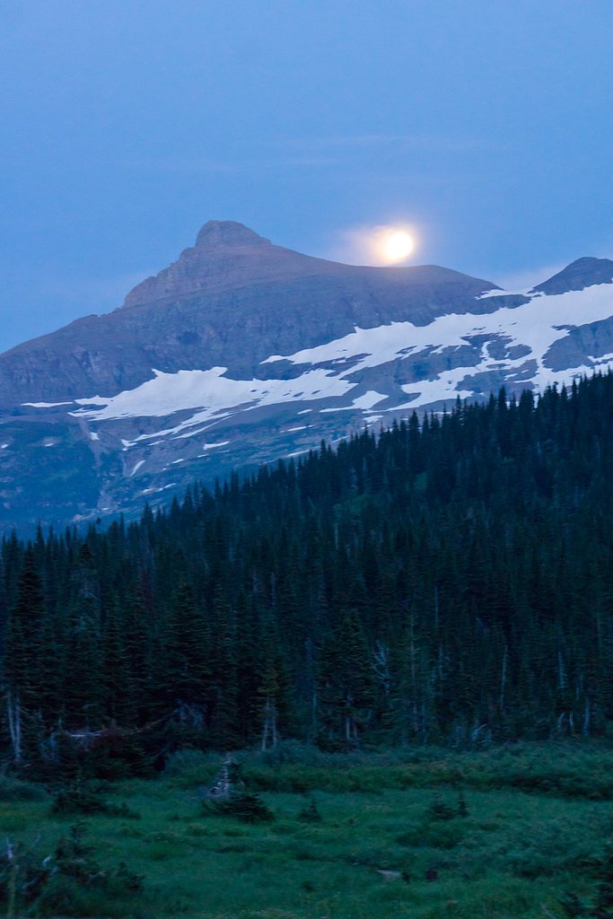
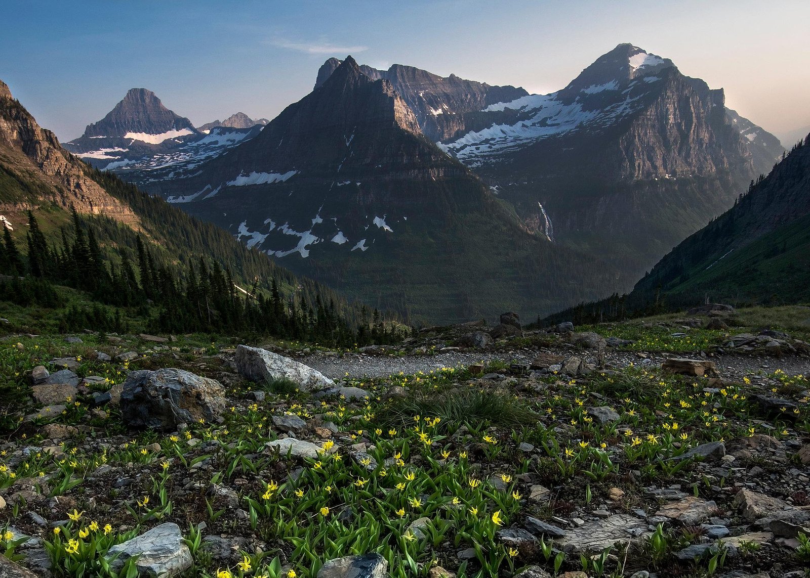
The Setting
Siksika Falls sits at 5,203 feet within Glacier National Park, fed by the Swiftcurrent Creek, in the high mountains of Montana.
Trail & Hike Details
The Approach
The moderate 2.4-mile out-and-back trail gains 350 feet of elevation on the way to the falls.
Trail Description
The trail to Siksika Falls is an out-and-back route approximately 2.4 miles in length with about 350 feet of elevation gain and is rated moderate. Detailed surface, grade, and official trail class information are not provided in the available data; expect a typical park hiking tread and use caution on uneven sections. The route is suitable for hikers with moderate fitness—bring sturdy footwear, water, and be prepared for changing mountain conditions inside Glacier National Park under NPS management.
What to Expect
Visitors can expect a tranquil and picturesque setting with the sound of cascading water. The area is relatively undeveloped, offering a raw and natural experience.
Accessibility
The trail is not wheelchair accessible. Uneven terrain and elevation changes require steady footing.
Frequently Asked Questions
🐶 Are Dogs Allowed at Siksika Falls?
❌ Dogs are not allowed
Are There Any Fees or Permits Required?
🆖 No fees required
🏊 Is There Swimming at Siksika Falls?
❌ Swimming is not allowed
When to Visit
The best time to visit is during spring, summer, or early fall when the weather is more favorable and the waterfall flow is likely to be at its peak.
Seasonal Access
The best time to visit is Spring, Summer, and Fall. Access roads and trails may close during winter due to snow. Check with Glacier National Park for current conditions.
Safety Information
Visitors should be cautious of slippery rocks near the waterfall and be prepared for remote conditions. Cell service may be limited, so inform someone of your plans before visiting.
Current Water Conditions
255 ft³/s
Current discharge — how much water is flowing
Lower than usual for this time of year
Based on 114 years of record
2.36 ft
Water depth at gauge
7-Day Discharge Trend
What does this mean for your visit?
Flow is lower than usual for this time of year.
About This Gauge
This gauge is on a nearby waterway and may not reflect exact conditions at the falls.
7-Day Flow Outlook
Based on the USGS gauge Swiftcurrent Creek at Many Glacier MT (20 km away).
Today
Moderate
291 cfs
6/10Tomorrow
Moderate
301 cfs
6/10Mon
Moderate
294 cfs
6/10Tue
Moderate
282 cfs
6/10Wed
Moderate
269 cfs
6/10Thu
Moderate
238 cfs
8/10Fri
Moderate
251 cfs
6/10Best window: Thu — moderate flow, mostly sunny (trip score 8/10).
Best time of year: this gauge typically runs highest from late April to late July, peaking in June.
How we calculate this
This is a transparent outlook, not a precise forecast. We take the waterfall's current flow strength (how it ranks against its historical normal for today, from the nearest USGS stream gauge), carry that ranking forward along the gauge's seasonal curve, and nudge it for forecast rain. Confidence is highest for the next day or two and falls further out. Always check official conditions and your own judgment before visiting — high flows can be dangerous.
Know when to go.
Get a free email alert when waterfalls near Pinnacle hit peak flow. We only send when conditions are worth the trip — no weekly newsletters, no spam.
Weather Forecast
Location & Access
Getting There
Siksika Falls is located in a remote area of Montana. Access typically requires driving on unpaved roads, and visitors should ensure their vehicle is suitable for such conditions. Exact directions may vary, so consulting a detailed map or GPS is recommended.
Get Directions on Google MapsParking
Parking availability is limited and may be located near the trailhead. Visitors should prepare for potentially rugged parking conditions.
Elevation
5,203 feet above sea level
Coordinates
48.617706° N, -113.687050° W
Land Management
Managed by NPS
Visitor Tips & Gear
Bring a detailed map or GPS device as the area may lack clear signage. Wear sturdy footwear and be prepared for changing weather conditions. Carry sufficient water and snacks.
As an Amazon Associate, we earn from qualifying purchases.
With 2.4 miles and 350 ft of elevation gain, sturdy boots and trekking poles will help on this moderate trail. Sun exposure on the trail makes good sun protection a must in summer.
America the Beautiful Annual Pass
Covers entrance fees at 2,000+ federal recreation sites — required at most National Parks.

Polarized Sunglasses (Knockaround)
Cuts glare off the water so you actually see the falls — and your photos turn out better too.

Columbia Watertight II Rain Jacket
Packs into its own pocket, seam-sealed, and keeps you dry from spray and surprise rain.

Earth Pak Waterproof Dry Bag
Keeps your phone and gear dry when waterfall mist soaks everything else.

Waterproof Phone Pouch (AiRunTech)
Cheap insurance — take photos right next to the falls without killing your phone.

Timberland Euro Sprint Mid Waterproof
Trusted waterproof boot with premium leather and grippy rubber sole — reliable on rocky, wet trails.

TrailBuddy Trekking Poles
Lightweight aluminum, cork grips, and flip-locks that actually hold — a best-seller for good reason.
Where to Stay

Under Canvas Glacier

Wonderstone at Glacier

Meadow Lake Resort & Condos

Cedar Creek Lodge & Conference Center
Browse vacation cabins and private rentals nearby
Unique outdoor stays — tents, yurts, and treehouses
Rent a campervan or RV for your waterfall road trip
Some links are affiliate links. We may earn a commission at no extra cost to you.
Nearby Campground
Sprague Creek Campground
9.1 miles away · 36 sites
Overview Sprague Creek is a small campground located on the northeast shore of Lake McDonald, just off Going-to-the-Sun Road. The maximum size limit allowed for all vehicles as well as combinations of vehicles and towed units in Sprague Creek Campground is 21 feet in length (including bumpers) and/or 8 feet in width (including mirrors). The campground is located within trees, providing shade during warm summers. Some sites near the shore have unobstructed views of Lake McDonald. All sites require
Book on Recreation.govAdditional Information
Nearby Attractions
The surrounding wilderness offers opportunities for hiking, wildlife viewing, and exploring other natural features.
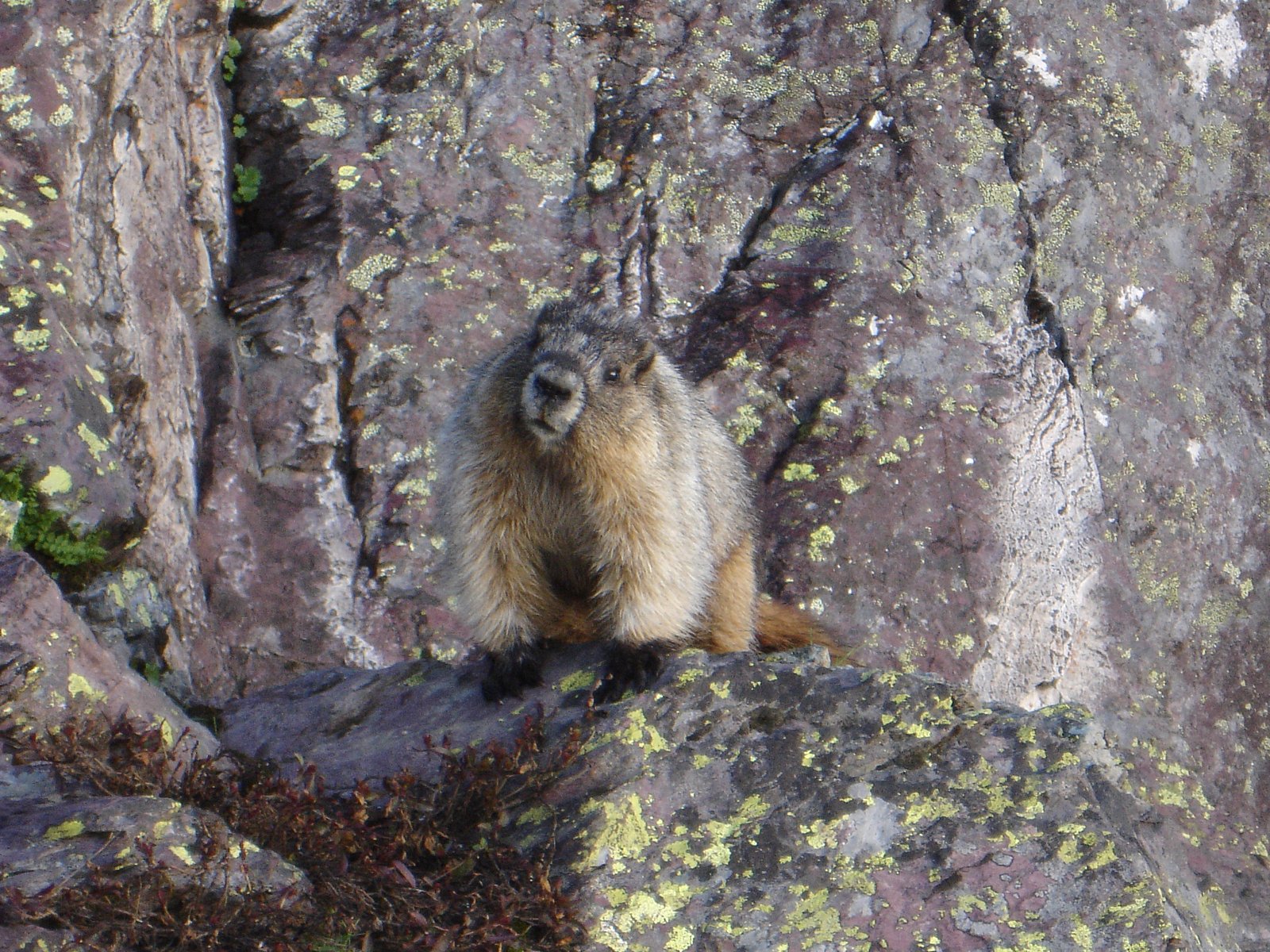
Wildlife
The area is home to a variety of wildlife, including deer, birds, and potentially bears. Visitors should practice bear safety and carry bear spray.
Cities near Siksika Falls
Nearby Waterfalls
Writing about Siksika Falls? Embed this waterfall on your site for free.