Piegan Falls
Montana • Glacier National Park
By Armen Suny · Last verified Mar 2026
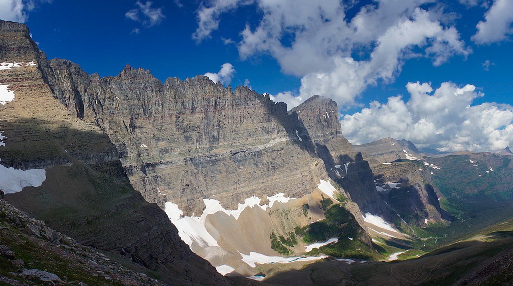
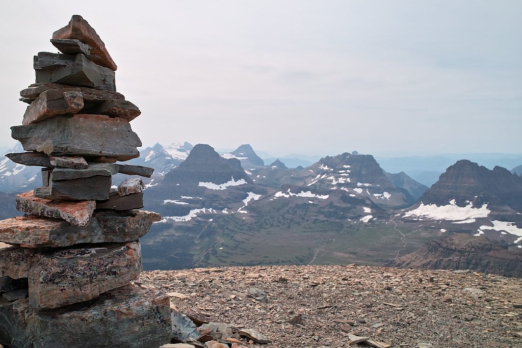
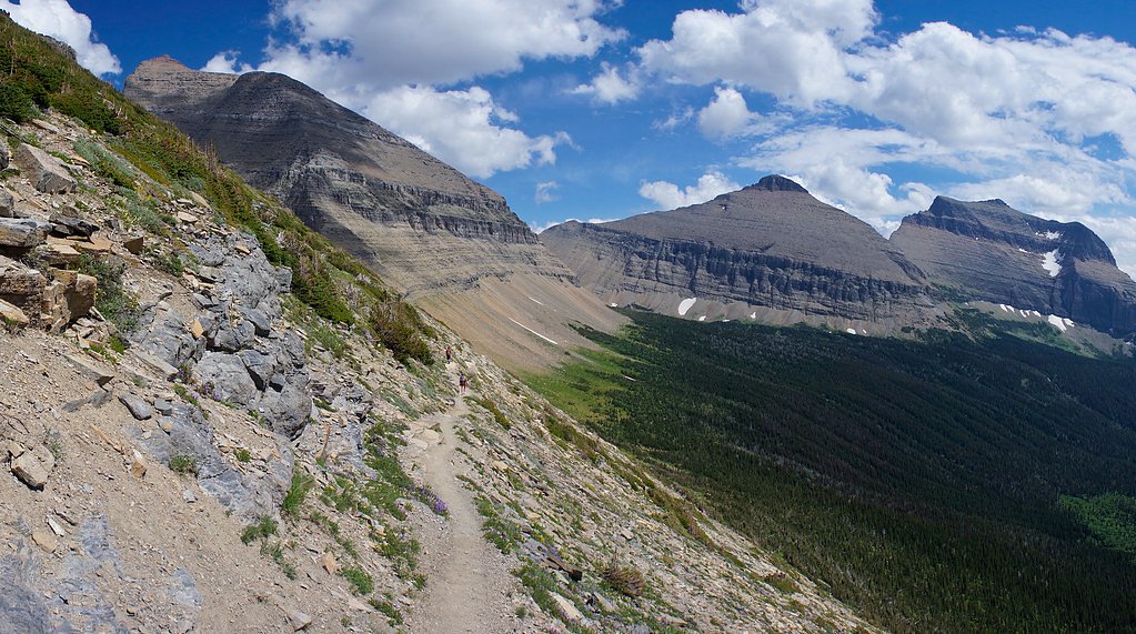
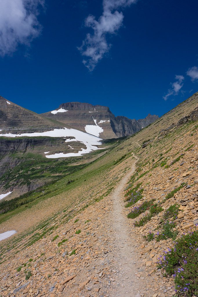
Photo Credits (5)
Difficulty
Moderate
Trail Length
2.4 miles
Trail Type
Out And Back
Elevation Gain
350 ft
About Piegan Falls
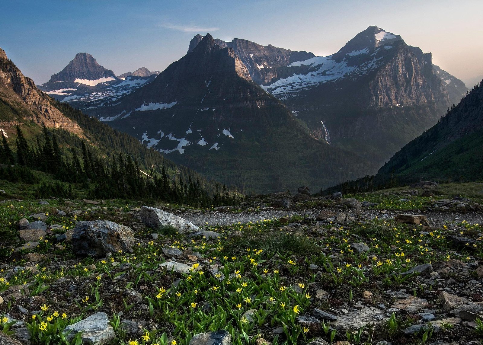
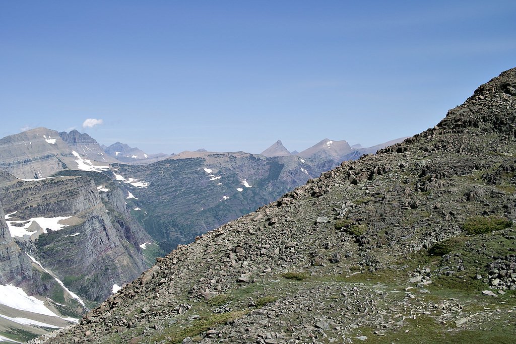
Piegan Falls is a picturesque waterfall located in Glacier National Park, Montana. It is surrounded by stunning alpine scenery and is a popular destination for hikers exploring the park. The falls are fed by snowmelt and are most impressive in late spring and early summer.
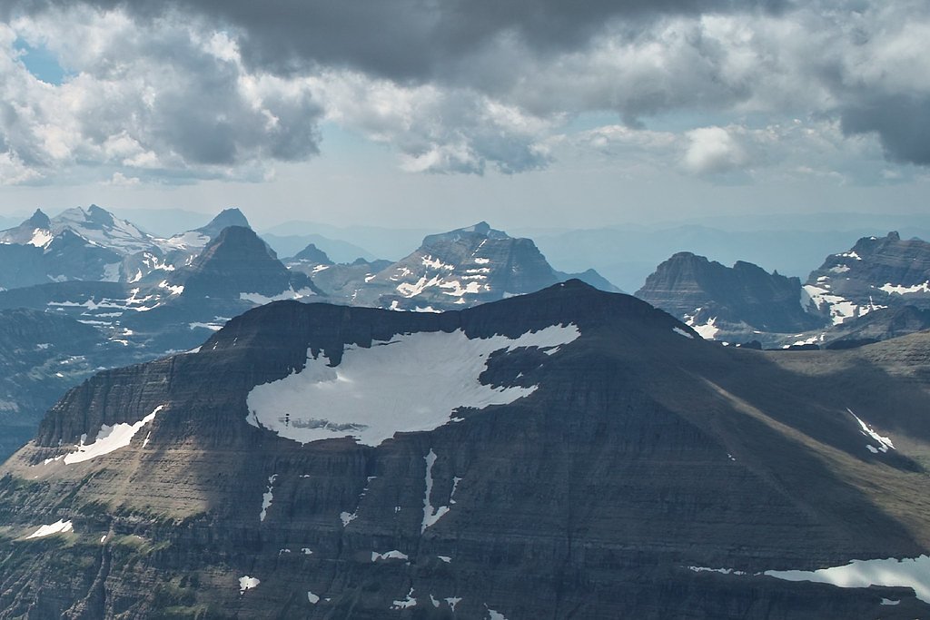
The Setting
Piegan Falls sits at 7,119 feet within Glacier National Park, fed by the Swiftcurrent Creek, in the high mountains of Montana.
Nearby Falls Worth Visiting
Bird Woman Falls, the tallest waterfall in Montana at 492 feet, lies 3.2 miles to the west.
Trail & Hike Details
The Approach
The moderate 2.4-mile out-and-back trail gains 350 feet of elevation on the way to the falls.
Trail Description
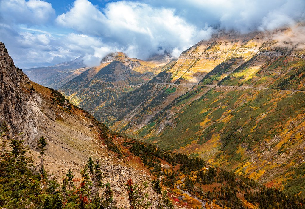
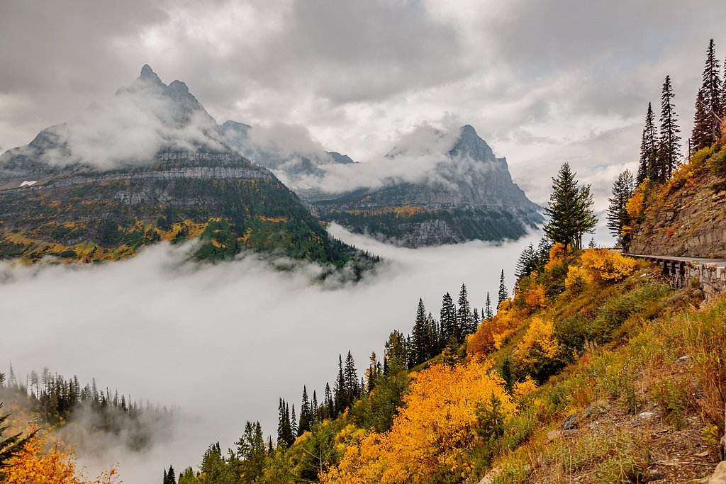
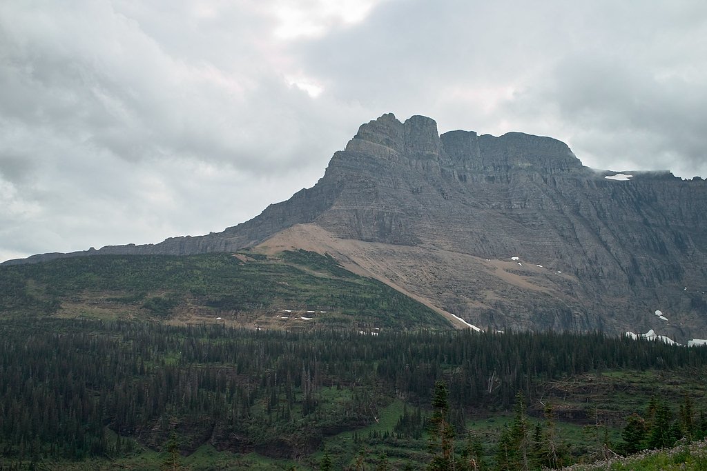
The Piegan Pass Trail is a scenic hike that takes visitors through lush forests, alpine meadows, and offers breathtaking views of the surrounding peaks. Piegan Falls is located along the trail, making it a rewarding stop for hikers heading toward Piegan Pass.
What to Expect
Expect a moderately challenging hike with some elevation gain. The trail is well-maintained but may have muddy or snowy sections depending on the season. The falls are most impressive in late spring and early summer when snowmelt is at its peak.
Accessibility
The trail is not wheelchair accessible. Uneven terrain and elevation changes require steady footing.
Frequently Asked Questions
🐶 Are Dogs Allowed at Piegan Falls?
❌ Dogs are not allowed
Are There Any Fees or Permits Required?
🤑 Fee: $35.00
Permit required
A park entrance pass is required to access Glacier National Park. Additionally, a reservation is required to drive the Going-to-the-Sun Road during peak season (May through September).
🏊 Is There Swimming at Piegan Falls?
❌ Swimming is not allowed
When to Visit
Late spring to early summer is the best time to visit Piegan Falls, as the snowmelt makes the waterfall more dramatic. Fall offers beautiful foliage, but water flow may be lower.
Seasonal Access
The best time to visit is Spring, Summer, and Fall. Access roads and trails may close during winter due to snow. Check with Glacier National Park for current conditions.
Safety Information
Be prepared for changing weather conditions and carry bear spray. Watch for slippery sections on the trail, especially near the falls. Stay on marked trails to avoid damaging fragile ecosystems.
Current Water Conditions
255 ft³/s
Current discharge — how much water is flowing
Lower than usual for this time of year
Based on 114 years of record
2.36 ft
Water depth at gauge
7-Day Discharge Trend
What does this mean for your visit?
Flow is lower than usual for this time of year.
About This Gauge
This gauge is on a nearby waterway and may not reflect exact conditions at the falls.
7-Day Flow Outlook
Based on the USGS gauge Swiftcurrent Creek at Many Glacier MT (10 km away).
Today
Moderate
275 cfs
5/10Tomorrow
Moderate
294 cfs
6/10Mon
Moderate
294 cfs
6/10Tue
Moderate
282 cfs
6/10Wed
Moderate
269 cfs
6/10Thu
Moderate
238 cfs
8/10Fri
Moderate
251 cfs
6/10Best window: Thu — moderate flow, mostly sunny (trip score 8/10).
Best time of year: this gauge typically runs highest from late April to late July, peaking in June.
How we calculate this
This is a transparent outlook, not a precise forecast. We take the waterfall's current flow strength (how it ranks against its historical normal for today, from the nearest USGS stream gauge), carry that ranking forward along the gauge's seasonal curve, and nudge it for forecast rain. Confidence is highest for the next day or two and falls further out. Always check official conditions and your own judgment before visiting — high flows can be dangerous.
Know when to go.
Get a free email alert when waterfalls near Saint Mary hit peak flow. We only send when conditions are worth the trip — no weekly newsletters, no spam.
Weather Forecast
Location & Access
Getting There
Piegan Falls is accessed via the Piegan Pass Trail, which begins at the Siyeh Bend trailhead along the Going-to-the-Sun Road in Glacier National Park. Visitors must enter the park through one of its entrances and follow signs to the trailhead.
Get Directions on Google MapsParking
Parking is available at the Siyeh Bend trailhead, but it can fill up quickly during peak season. Arrive early to secure a spot.
Elevation
7,119 feet above sea level
Coordinates
48.710023° N, -113.678068° W
Land Management
Managed by NPS
Visitor Tips & Gear
Start your hike early to avoid crowds and secure parking. Bring plenty of water, snacks, and layers, as weather can change quickly in the mountains. Check trail conditions before heading out, especially in spring or fall.
This trail sits at 7,119 ft above sea level
Elevated TrailUV radiation is roughly 28% stronger at this elevation than at sea level, and the dry air accelerates dehydration. Extra sun protection and fluids go a long way.
As an Amazon Associate, we earn from qualifying purchases.

Coppertone Sport SPF 50 Sunscreen
UV intensity jumps ~4% per 1,000 ft — at this elevation you can burn in half the time.

Sun Bum SPF 30 Lip Balm (3-Pack)
Lips have almost no natural UV protection and burn fast in thin, dry mountain air.

Liquid I.V. Electrolyte Packets
You lose moisture ~2x faster at elevation — electrolytes help you absorb water efficiently.

ROCKNIGHT Polarized UV400 Sunglasses
High-altitude glare off rock and water is intense — UV400 lenses block 99%+ of UVA/UVB.
As an Amazon Associate, we earn from qualifying purchases.
With 2.4 miles and 350 ft of elevation gain, sturdy boots and trekking poles will help on this moderate trail. Sun exposure on the trail makes good sun protection a must in summer.
America the Beautiful Annual Pass
Covers entrance fees at 2,000+ federal recreation sites — required at most National Parks.

Polarized Sunglasses (Knockaround)
Cuts glare off the water so you actually see the falls — and your photos turn out better too.

Columbia Watertight II Rain Jacket
Packs into its own pocket, seam-sealed, and keeps you dry from spray and surprise rain.

Earth Pak Waterproof Dry Bag
Keeps your phone and gear dry when waterfall mist soaks everything else.

Waterproof Phone Pouch (AiRunTech)
Cheap insurance — take photos right next to the falls without killing your phone.

Timberland Euro Sprint Mid Waterproof
Trusted waterproof boot with premium leather and grippy rubber sole — reliable on rocky, wet trails.

TrailBuddy Trekking Poles
Lightweight aluminum, cork grips, and flip-locks that actually hold — a best-seller for good reason.
Where to Stay

St. Mary Village

Chief Mountain Cabins

Glacier Borealis - 27’ Glamping Trailer by Glacier

Walsh Cottage on the shores of Lake McDonald
Browse vacation cabins and private rentals nearby
Unique outdoor stays — tents, yurts, and treehouses
Rent a campervan or RV for your waterfall road trip
Some links are affiliate links. We may earn a commission at no extra cost to you.
Nearby Campground
MANY GLACIER CAMPGROUND
6 miles away · 110 sites
Overview The Many Glacier Campground is located on the east side of Glacier National Park, at an elevation of approximately 4,500 feet. The campground is located about 22 miles from the town of St. Mary and the east entrance to Glacier National Park. Babb, Montana, is the closest community to the Many Glacier Campground and is located approximately 12 miles east of the campground. Babb has a general store, gas station, several restaurants and an U.S. Post Office. Cell phone coverage is not availa
Book on Recreation.govAdditional Information
Nearby Attractions
Nearby attractions include Siyeh Bend, Piegan Pass, and the Going-to-the-Sun Road. Other waterfalls and scenic viewpoints are also accessible within Glacier National Park.
Wildlife
Wildlife in the area includes bears, mountain goats, marmots, and various bird species. Always carry bear spray and be aware of your surroundings.
Cities near Piegan Falls
Nearby Waterfalls
Writing about Piegan Falls? Embed this waterfall on your site for free.