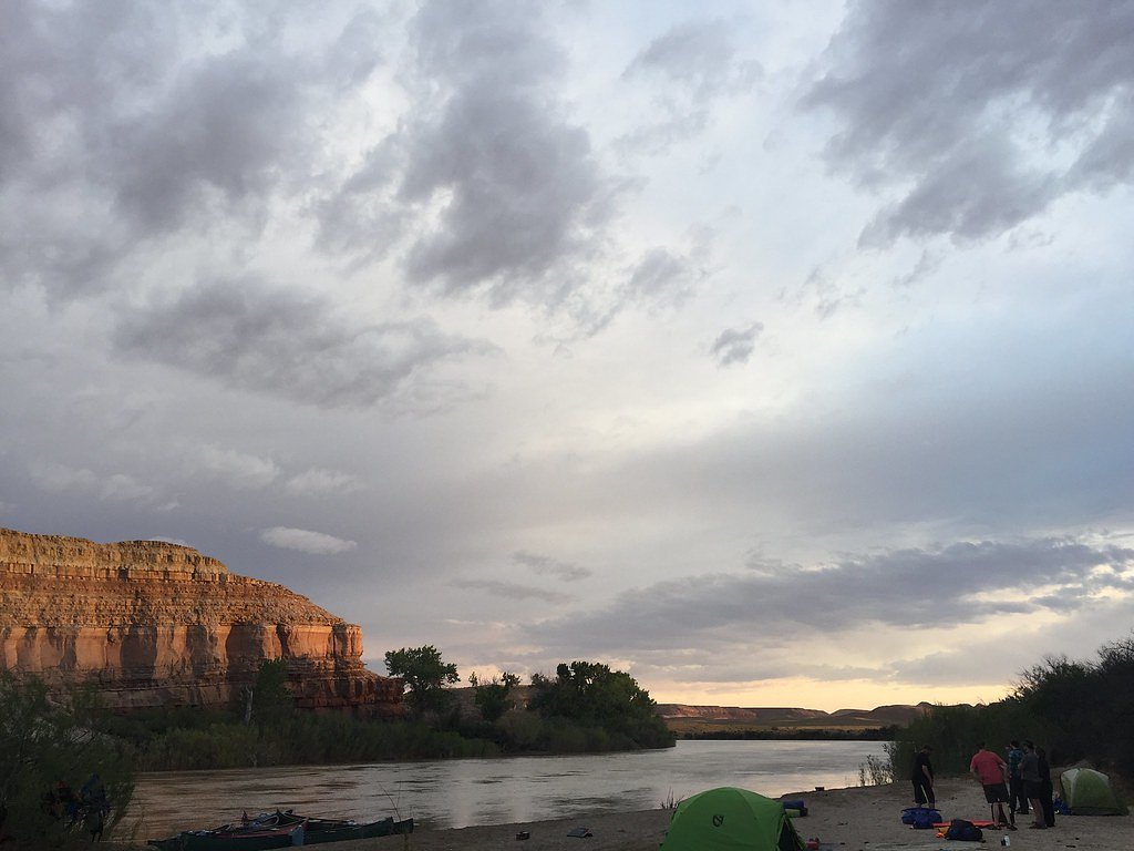
Photo Credits (5)
Difficulty
Easy
Trail Length
1.2 miles
Trail Type
Out And Back
Elevation Gain
200 ft
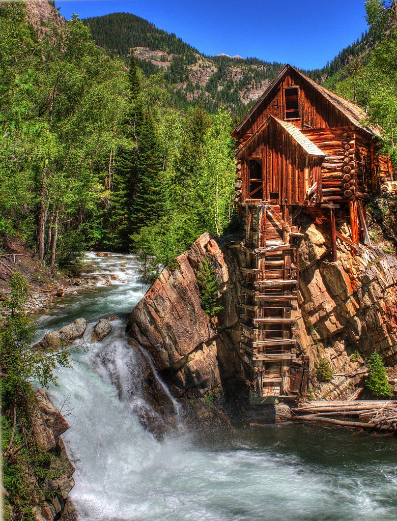
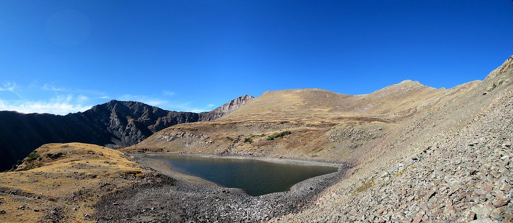
About Crystal Falls
Crystal Falls tumbles along North Cheyenne Creek just outside Manitou Springs, Colorado, and is reached via the Paul Intemann Trail. The cascade sits on public lands managed by the Bureau of Land Management’s Royal Gorge Field Office (designation: PUB), giving visitors a pleasant, accessible waterfall experience on BLM-managed ground. Framed by lush montane forest, the falls are a lovely spot for photos, a short nature break, or a quiet picnic near the water. The approach is short and inviting: a 1.2‑mile out-and-back hike with roughly 200 feet of elevation gain, rated easy and suitable for most hikers. The well-maintained Paul Intemann Trail follows the creek into the ravine, staying mostly shaded and offering a gentle incline that makes the waterfall an excellent half-day outing for families and casual hikers alike.
The Setting
Crystal Falls sits at 9,301 feet within Royal Gorge Field Office, in the high alpine of Colorado.
Trail & Hike Details
The Approach
The easy 1.2-mile out-and-back trail gains 200 feet of elevation on the way to the falls.
Trail Description
Trail: Paul Intemann Trail (to Crystal Falls). Length: 1.2 miles (out-and-back). Elevation gain: ~200 feet. Difficulty: Easy. The route is a well-maintained, mostly shaded forest trail that follows North Cheyenne Creek with a gentle grade; non-technical and suitable for most visitors. Expect a short, steady climb into the ravine before reaching the falls; basic trail signage and tread make navigation straightforward.
What to Expect
Dogs are welcome.
Accessibility
The trail is not wheelchair accessible. Uneven terrain and elevation changes require steady footing.
Frequently Asked Questions
🐶 Are Dogs Allowed at Crystal Falls?
✅ Dogs are allowed
Are There Any Fees or Permits Required?
🆖 No fees required
🏊 Is There Swimming at Crystal Falls?
❌ Swimming is not allowed
When to Visit
The best time to visit is during spring or early summer when the water flow is strongest due to snowmelt. Fall also offers beautiful foliage, while winter may provide a unique view of the falls if they are partially frozen.
Seasonal Access
The best time to visit is Spring, Summer, and Fall. Access roads and trails may close during winter due to snow.
Safety Information
The area around the waterfall can be slippery, especially after rain or snow. Stay on marked trails to avoid accidents. Be aware of changing weather conditions, as storms can develop quickly in the area.
Know when to go.
Get a free email alert when waterfalls near Westcliffe hit peak flow. We only send when conditions are worth the trip — no weekly newsletters, no spam.
Weather Forecast
Location & Access
Getting There
Crystal Falls can be accessed from the Paul Intemann Trail, which begins near the Iron Springs Chateau in Manitou Springs. The trailhead is well-marked and easy to locate.
Get Directions on Google MapsParking
Parking is available near the Iron Springs Chateau or along Ruxton Avenue in Manitou Springs. However, parking can be limited, especially during peak seasons.
Elevation
9,301 feet above sea level
Coordinates
37.961667° N, -105.481395° W
Land Management
Managed by BLM
Visitor Tips & Gear
Arrive early to secure parking, especially during weekends or holidays. Wear sturdy shoes as the trail can be uneven in places. Bring water and snacks, as there are no facilities along the trail.
This trail sits at 9,301 ft — the air is noticeably thinner
High AltitudeSome visitors experience headaches, fatigue, or shortness of breath at this elevation. Take it slow, stay hydrated, and consider supplemental oxygen if you're coming from a lower altitude.
As an Amazon Associate, we earn from qualifying purchases.

Coppertone Sport SPF 50 Sunscreen
UV intensity jumps ~4% per 1,000 ft — at this elevation you can burn in half the time.

Sun Bum SPF 30 Lip Balm (3-Pack)
Lips have almost no natural UV protection and burn fast in thin, dry mountain air.

Liquid I.V. Electrolyte Packets
You lose moisture ~2x faster at elevation — electrolytes help you absorb water efficiently.

ROCKNIGHT Polarized UV400 Sunglasses
High-altitude glare off rock and water is intense — UV400 lenses block 99%+ of UVA/UVB.

Boost Oxygen 10L Canister (2-Pack)
Portable supplemental oxygen for quick relief from headaches and shortness of breath.

Altitude Rx OxyBoost Complex
Antioxidant formula designed to support your body's natural altitude acclimation.
As an Amazon Associate, we earn from qualifying purchases.
This easy 1.2 miles hike is straightforward — comfortable trail shoes and plenty of water should do. Sun exposure on the trail makes good sun protection a must in summer.

Polarized Sunglasses (Knockaround)
Cuts glare off the water so you actually see the falls — and your photos turn out better too.

Columbia Watertight II Rain Jacket
Packs into its own pocket, seam-sealed, and keeps you dry from spray and surprise rain.

Earth Pak Waterproof Dry Bag
Keeps your phone and gear dry when waterfall mist soaks everything else.

Waterproof Phone Pouch (AiRunTech)
Cheap insurance — take photos right next to the falls without killing your phone.

JOBY GorillaPod Starter Kit
Wraps around railings and rocks for long-exposure waterfall shots — no flat surface needed.

Osprey Daylite Daypack
Light, organized, and just the right size for a day hike — fits water, snacks, and layers.
Where to Stay

Crestone Adobe Vista Manor

Hillside Colorado Cottages

High Mountain Desert Earthship with Stunning Views

Cozy Remote Retreat • Mountain Views • Stargazing
Browse vacation cabins and private rentals nearby
Unique outdoor stays — tents, yurts, and treehouses
Rent a campervan or RV for your waterfall road trip
Some links are affiliate links. We may earn a commission at no extra cost to you.
Nearby Campground
ALVARADO CAMPGROUND
9.2 miles away · 51 sites
Overview Alvarado Campground, located at an elevation of 9,000 ft., is a prime location for accessing easy to challenging hikes in the Sangre de Cristo Wilderness. The variety of trails lead to high elevation lakes, picturesque waterfalls, and a number of stunning scenic overlooks. Alvarado is designed for a range of campers, with facilities for tent, RV and equestrian campers. Pike-San Isabel National Forests include over a million acres of wilderness and over half of Colorado's mountain peaks t
Book on Recreation.govNearby Hot Springs
Hot springs near Westcliffe, Colorado
Sand Dunes Pool
Sand Dunes Pool sits at 7,539 feet in Colorado's San Luis Valley, just eight meters from a gravel road. At this remote, high-el...

Valley View Hot Springs
Valley View Hot Springs flows at 99 degrees Fahrenheit from the eastern slopes of the Sangre de Cristo Range at 8,850 feet elev...

Mineral Hot Springs
Mineral Hot Springs emerges at 140°F in Saguache County at 7,744 feet elevation in the northern San Luis Valley, where thermal ...

Canon City Hot Springs
Canon City Hot Springs emerges at an impressive 104 degrees Fahrenheit near Canon City in Fremont County, just 31 meters from R...
Desert Reef Hot Spring
Desert Reef Hot Spring emerges in Fremont County's high-desert landscape near Penrose as a warm mineral spring characterized by...
Splashland Hot Springs
Splashland Hot Springs reaches 40.5 degrees Celsius (105 degrees Fahrenheit) at just 13 meters from a gravel road near Alamosa ...
Looking for a soak after your hike? Explore more hot springs near Westcliffe, Colorado on SoakingSprings.
Explore Colorado springsAdditional Information
Nearby Attractions
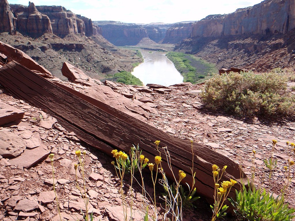
Nearby attractions include the Manitou Incline, Garden of the Gods, and Pikes Peak.
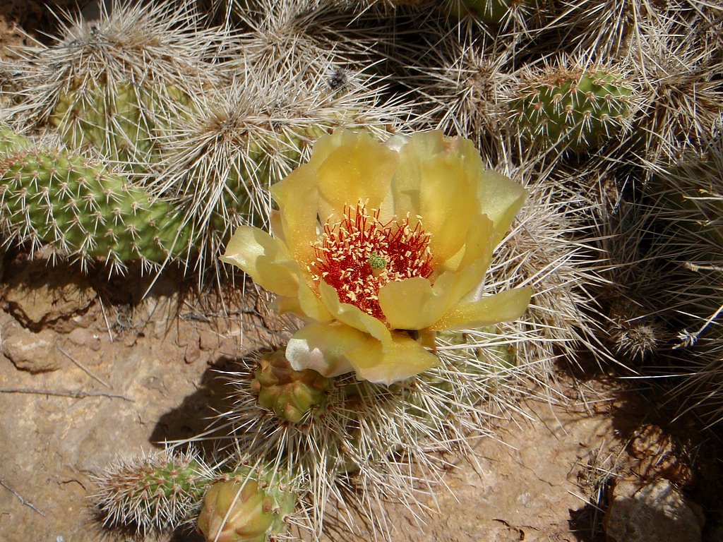
Wildlife
Visitors may encounter wildlife such as birds, squirrels, and occasionally deer. Be cautious of potential encounters with bears or mountain lions, though sightings are rare.
Cities near Crystal Falls
Nearby Waterfalls
Other waterfalls named Crystal Falls
8 other waterfalls share this name across the U.S.
Writing about Crystal Falls? Embed this waterfall on your site for free.