
Crooked Falls
Montana • 19 ft
By Armen Suny · Last verified Oct 2026
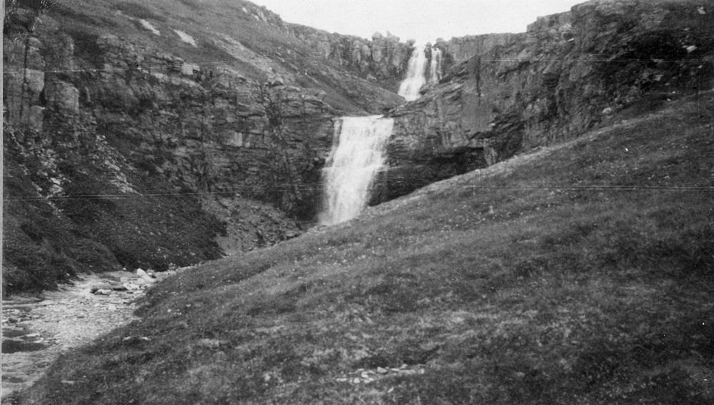
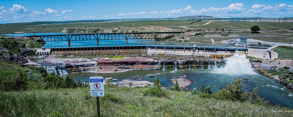

Photo Credits (3)
Difficulty
Easy
Trail Type
Out And Back
About Crooked Falls
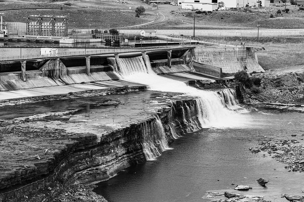
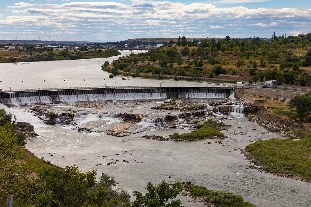
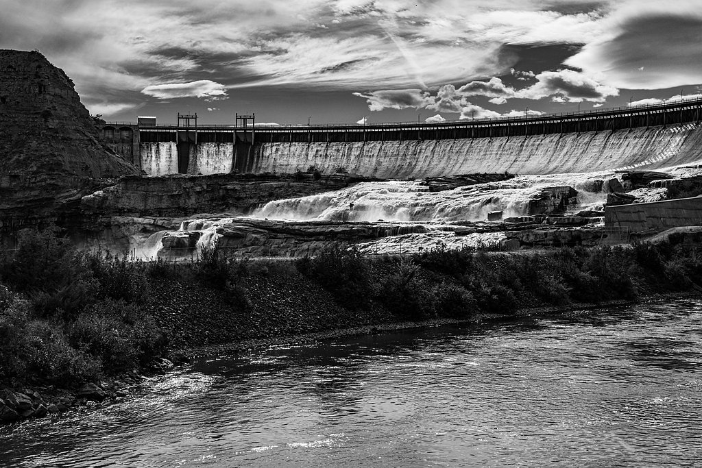
Crooked Falls is one of the scenic cascades in the string of Great Falls on the Missouri River in Montana, offering a restful riverside setting and striking views of the river's flow. Visitors often experience Crooked Falls as part of a sequence of waterfalls along this stretch; just upstream lies Rainbow Falls, a dramatic drop 47 feet high and 1,320 feet wide that spills over a sheer ledge of sandstone in the Kootenai Formation. Together these falls give a vivid sense of the river’s geology and the broad, rocky corridors that define this reach of the Missouri.
The Setting
Crooked Falls sits at 3,130 feet in the mountains of Montana. The falls drop 19 feet.
Height: 19 feet
Nearby Falls Worth Visiting
Big Falls (87 ft) lies 4.1 miles to the northeast. Also nearby: Rainbow Falls (47 ft, 0.5 mi).
Trail & Hike Details
Trail Description
Crooked Falls is reached on the unpaved south-shore segments of the River's Edge Trail, which begin near the Lewis and Clark overlook of Rainbow Falls at the east end of Giant Springs State Park and continue east along the river canyon. The falls are a short walk downstream of Rainbow Falls; the single-track here is rougher than the paved trail in town and is shared with mountain bikers.
What to Expect
The falls drop a gentle 19 feet. Dogs are welcome.
Accessibility
The trail is short and relatively flat, but the surface may be uneven. Contact the managing agency for accessibility details.
Frequently Asked Questions
🐶 Are Dogs Allowed at Crooked Falls?
✅ Dogs are allowed
Dogs are allowed on the River's Edge Trail, which has dog waste stations along it; keep them under control near the cliff edges.
Are There Any Fees or Permits Required?
🆖 No fees required
🏊 Is There Swimming at Crooked Falls?
❌ Swimming is not allowed
When to Visit
Spring and early summer are ideal times to visit, as the water flow is typically higher due to snowmelt. Fall offers beautiful foliage, while summer provides warm weather for hiking.
Seasonal Access
The best time to visit is Spring, Summer, and Fall. Winter access may be limited.
Safety Information
Stay on designated trails and avoid getting too close to the river's edge, as the currents can be strong and dangerous. Be cautious of changing weather conditions.
Current Water Conditions
These readings come from the USGS gauge on Missouri River, 7.2 miles away, not on Crooked Falls's own stream. Use them as a sign of whether the area is running wet or dry.
4,020 ft³/s
Current discharge — how much water is flowing
Lower than usual for this time of year
Based on 70 years of record
2.97 ft
Water depth at gauge
7-Day Discharge Trend
What does this mean for your visit?
Flow is lower than usual for this time of year.
About This Gauge
This gauge is on a nearby waterway and may not reflect exact conditions at the falls.
7-Day Flow Outlook
Based on the USGS gauge Missouri River near Great Falls MT (12 km away).
Today
Barely Flowing
4020 cfs
5/10Tomorrow
Low
4342 cfs
4/10Sat
Low
4221 cfs
6/10Sun
Barely Flowing
4066 cfs
5/10Mon
Barely Flowing
4066 cfs
5/10Tue
Low
4416 cfs
4/10Wed
Low
4342 cfs
4/10Best window: Sat — low flow, sunny (trip score 6/10).
Best time of year: this gauge typically runs highest from mid April to mid July, peaking in June.
How we calculate this
This is a transparent outlook, not a precise forecast. We take the waterfall's current flow strength (how it ranks against its historical normal for today, from the nearest USGS stream gauge), carry that ranking forward along the gauge's seasonal curve, and nudge it for forecast rain. Confidence is highest for the next day or two and falls further out. Always check official conditions and your own judgment before visiting — high flows can be dangerous.
Know when to go.
Get a free email alert when waterfalls near Malmstrom AFB hit peak flow. We only send when conditions are worth the trip — no weekly newsletters, no spam.
Weather Forecast
Location & Access
Getting There
From Great Falls, drive east to Giant Springs State Park and continue to the Lewis and Clark overlook of Rainbow Falls at the east end of the park. Walk east on the unpaved south-shore River's Edge Trail segments to the Crooked Falls viewpoints.
Get Directions on Google MapsParking
Parking is available at designated trailheads along the River's Edge Trail, such as the Lewis and Clark Overlook or other nearby parking areas.
Elevation
3,130 feet above sea level
Coordinates
47.536113° N, -111.196292° W
Visitor Tips & Gear
Wear comfortable walking shoes and bring water, especially during warmer months. Early mornings or weekdays may offer a quieter experience. Binoculars or a camera are recommended for capturing the scenic views.
Where to Stay
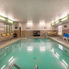
Wingate by Wyndham Great Falls
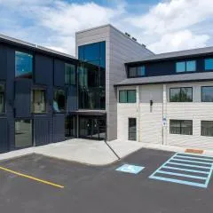
The Gibson Hotel Great Falls, an Ascend Collection Hotel

Hotel Arvon

Comfort Inn Great Falls South
Browse vacation cabins and private rentals nearby
Unique outdoor stays — tents, yurts, and treehouses
Rent a campervan or RV for your waterfall road trip
Some links are affiliate links. We may earn a commission at no extra cost to you.
Additional Information
Nearby Attractions
Other waterfalls along the Great Falls of the Missouri River, such as Rainbow Falls and Black Eagle Falls. The Lewis and Clark Interpretive Center is also nearby.
Wildlife
Visitors may spot birds, deer, and other wildlife along the trail. The area is known for its diverse bird species.
Cities near Crooked Falls
Nearby Waterfalls
Other waterfalls named Crooked Falls
1 other waterfall shares this name across the U.S.
Writing about Crooked Falls? Embed this waterfall on your site for free.