Photo Credits (5)
Difficulty
Moderate
Trail Length
2.4 miles
Trail Type
Out And Back
Elevation Gain
350 ft
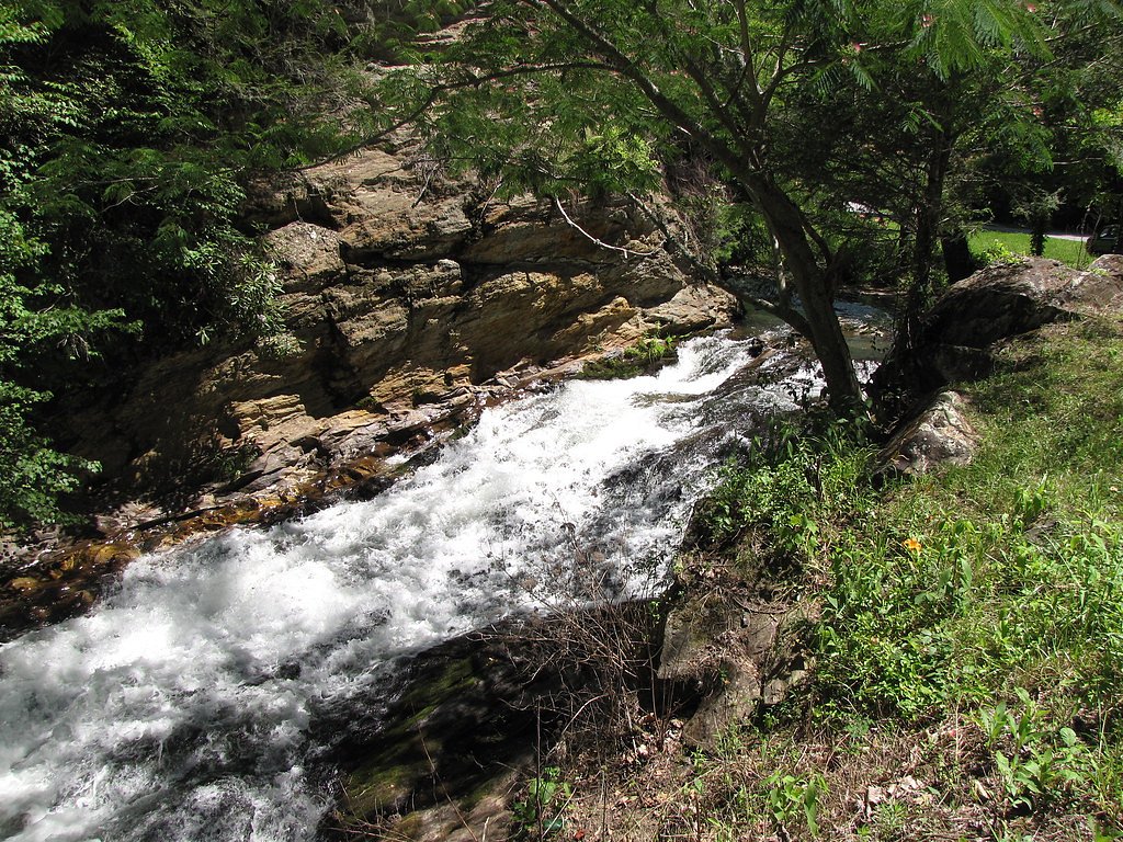
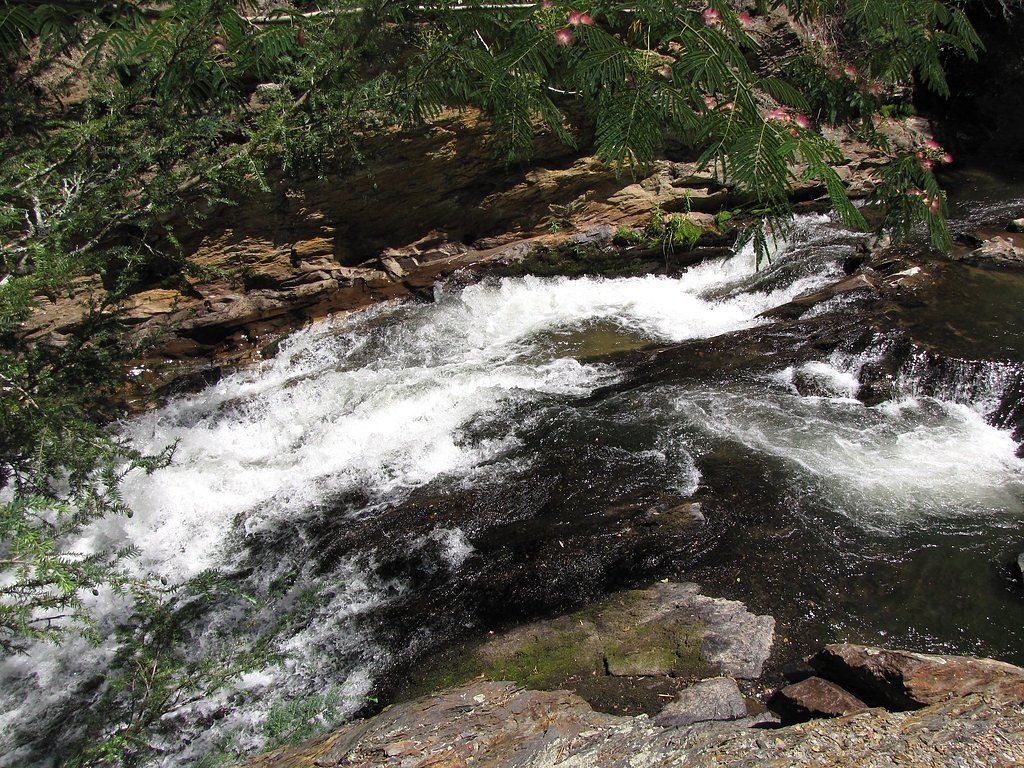
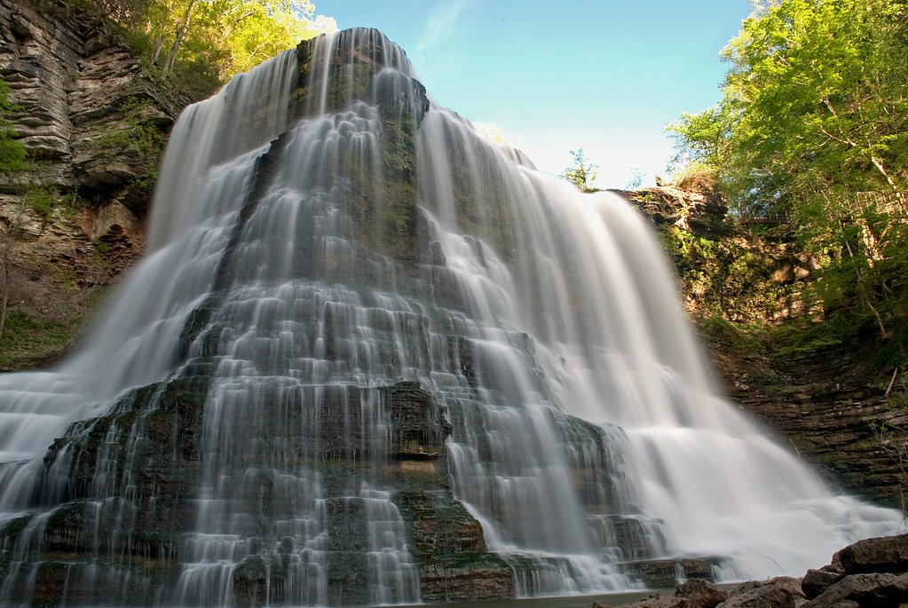
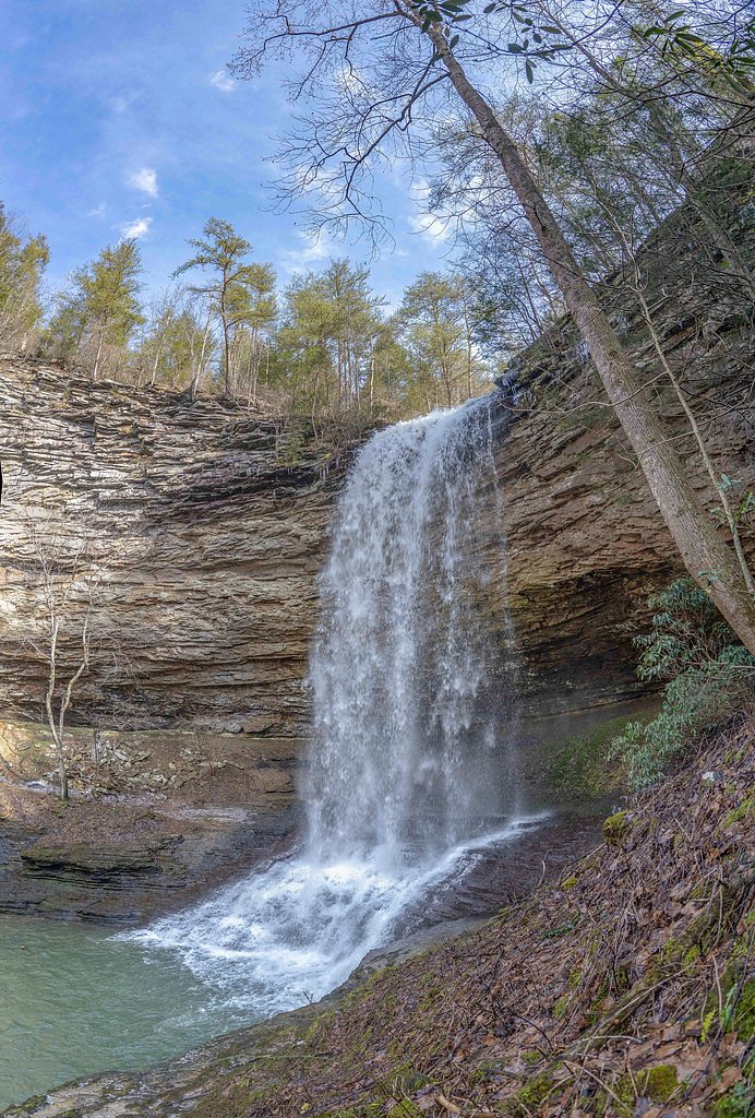
About Basin Falls
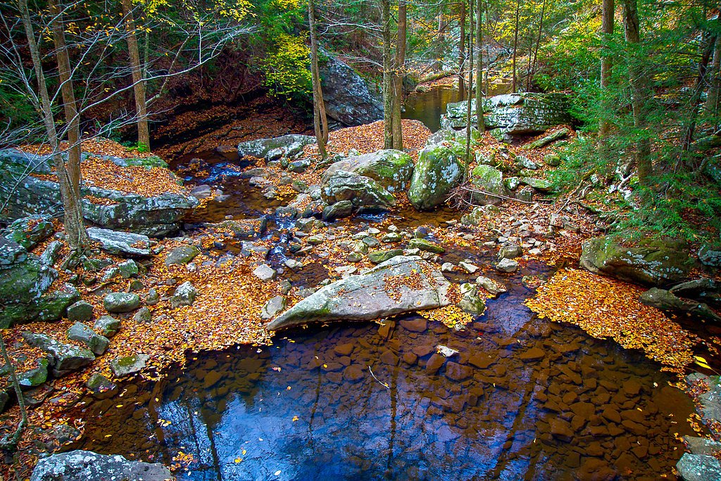
Basin Falls is a small, picturesque cascade tucked into Tennessee woodlands that feels perfectly suited for hikers seeking a quieter nature stop. The falls’ modest drop and intimate, tree-lined setting make it a favorite for photographers and anyone who enjoys a relaxed outing — the scene is peaceful and feels easily reachable in a half-day trip. The route to the falls is an easy-to-moderate outing that rewards a little effort with close-up views and a serene forest setting. The approach is an out-and-back hike of about 2.4 miles round trip with roughly 350 feet of elevation gain, so it’s well suited to day hikers who don’t want a long commitment. There’s no official USFS trail number or federal land unit provided for this site, so expect a natural footpath rather than a highly developed corridor; worn tread, tree roots, rocks and occasional route-finding are part of the experience. Bring sturdy shoes, a camera, and allow time to linger at the basin and pools below the falls.
The Setting
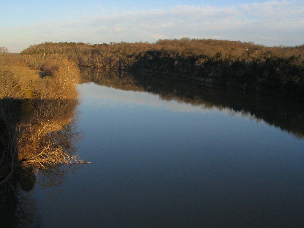
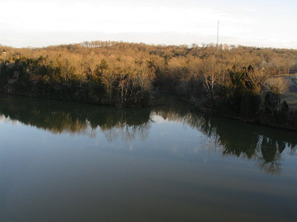
Basin Falls sits at 1,568 feet along the Daddys Creek, in the hills of Tennessee.
Nearby Falls Worth Visiting
Ozone Falls (110 ft) lies 2.3 miles to the northeast. Also nearby: Laurel Falls (80 ft, 4.2 mi) and Upper Piney Falls (80 ft, 8.5 mi).
Trail & Hike Details
The Approach
The moderate 2.4-mile out-and-back trail gains 350 feet of elevation on the way to the falls.
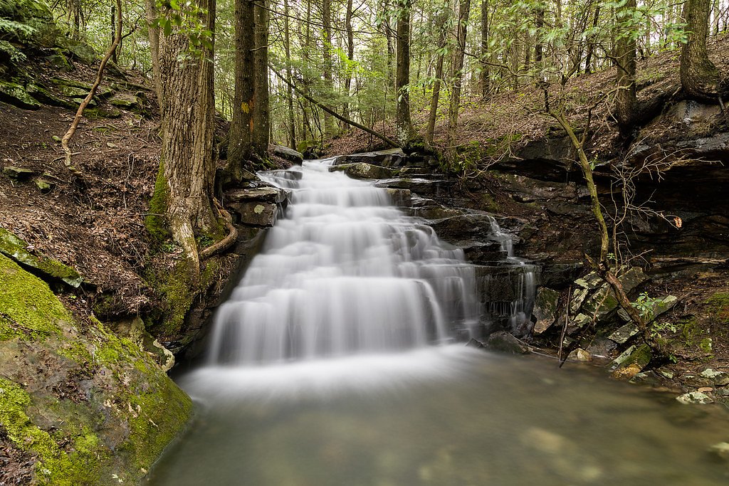
Trail Description
Trail to Basin Falls — Out-and-back, 2.4 miles round trip, ~350 ft elevation gain, rated moderate. No official USFS trail number, surface or formal trail grade are provided, so anticipate a natural dirt tread with roots, rocks, leaf litter and some uneven sections. The grade is generally gentle to moderate rather than steep; the route is non-technical (no climbing or scrambling expected) but may require basic route-finding in spots. Wear sturdy footwear, carry a map or GPS if unfamiliar with the area, and allow extra time for slower footing on the natural trail.
What to Expect
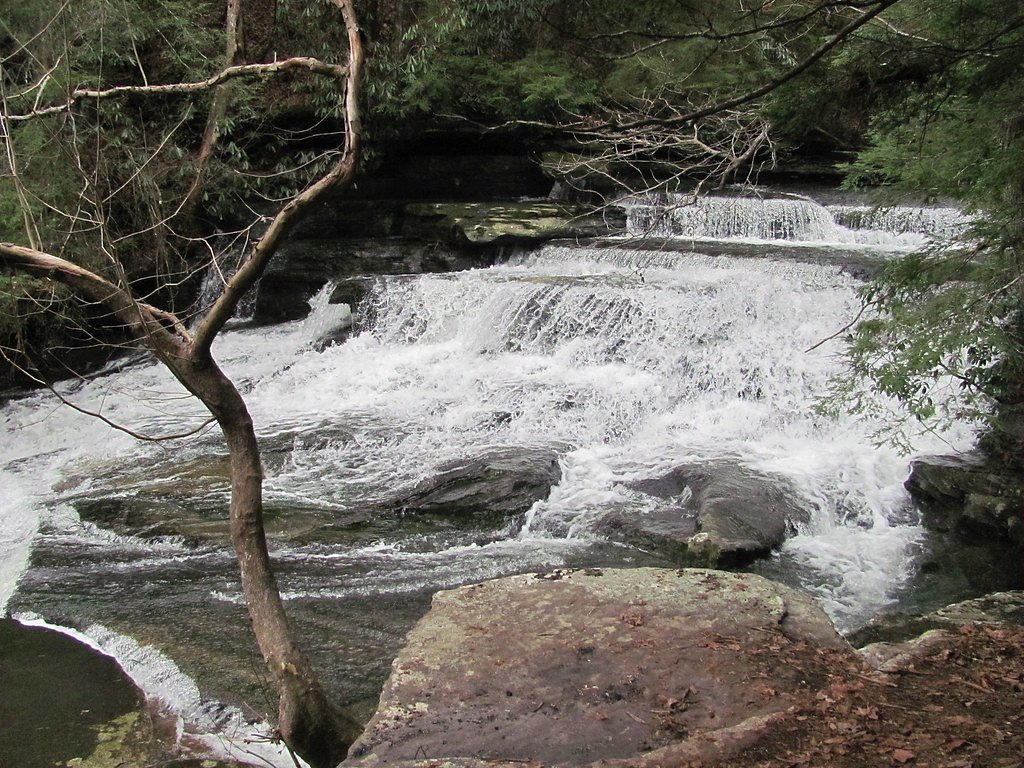
Visitors can expect a peaceful and scenic waterfall surrounded by natural forested areas. The area may be less crowded compared to more popular waterfalls in Tennessee.
Accessibility
The trail is not wheelchair accessible. Uneven terrain and elevation changes require steady footing.
Frequently Asked Questions
🐶 Are Dogs Allowed at Basin Falls?
❌ Dogs are not allowed
Are There Any Fees or Permits Required?
🆖 No fees required
🏊 Is There Swimming at Basin Falls?
❌ Swimming is not allowed
When to Visit
Spring and fall are typically the best times to visit due to pleasant weather and higher water flow. Summer can also be enjoyable, but be prepared for heat and humidity.
Seasonal Access
The best time to visit is Spring, Summer, and Fall. Winter access may be limited.
Safety Information
The trail may be uneven and poorly marked. Visitors should exercise caution, especially after rain when the trail could be slippery. Always inform someone of your plans before heading out.
Current Water Conditions
20 ft³/s
Current discharge — how much water is flowing
About average for this time of year
Based on 39 years of record
1.37 ft
Water depth at gauge
82°F
WarmVery comfortable
7-Day Discharge Trend
What does this mean for your visit?
Flow is about average for this time of year. The water is warm at 82 degrees F, very comfortable for swimming. Expect crystal clear visibility and adequate dissolved oxygen levels. PH is normal at 7.9 and mineral content is typical.
Water Quality
Dissolved Oxygen
GoodAdequate oxygen levels
pH
NormalWithin healthy range (6.5-8.5)
Water Clarity
Crystal clearExcellent visibility
Conductance
Dissolved minerals in the water
About This Gauge
This gauge is on a nearby waterway and may not reflect exact conditions at the falls.
7-Day Flow Outlook
Based on the USGS gauge DADDYS CREEK NEAR HEBBERTSBURG, TN (16 km away).
Today
Barely Flowing
20 cfs
5/10Tomorrow
Low
27 cfs
3/10Fri
Low
38 cfs
3/10Sat
Low
41 cfs
3/10Sun
Low
41 cfs
3/10Mon
Low
41 cfs
3/10Tue
Low
37 cfs
3/10Best window: Today — barely flowing flow, sunny (trip score 5/10).
Best time of year: this gauge typically runs highest from early February to early March, peaking in February.
How we calculate this
This is a transparent outlook, not a precise forecast. We take the waterfall's current flow strength (how it ranks against its historical normal for today, from the nearest USGS stream gauge), carry that ranking forward along the gauge's seasonal curve, and nudge it for forecast rain. Confidence is highest for the next day or two and falls further out. Always check official conditions and your own judgment before visiting — high flows can be dangerous.
Know when to go.
Get a free email alert when waterfalls near Crab Orchard hit peak flow. We only send when conditions are worth the trip — no weekly newsletters, no spam.
Weather Forecast
Location & Access
Getting There
The exact location and directions to Basin Falls are not well-documented. Visitors are advised to consult local hiking guides or AllTrails for the most accurate and up-to-date information.
Get Directions on Google MapsParking
Parking availability is unclear. Visitors may need to park along nearby roads or at designated trailheads if available.
Elevation
1,568 feet above sea level
Coordinates
35.852015° N, -84.832391° W
Visitor Tips & Gear
Bring a map or GPS device as the trail may not be well-marked. Wear sturdy hiking shoes and be prepared for potential uneven terrain.
As an Amazon Associate, we earn from qualifying purchases.
With 2.4 miles and 350 ft of elevation gain, sturdy boots and trekking poles will help on this moderate trail. Sun exposure on the trail makes good sun protection a must in summer.

Polarized Sunglasses (Knockaround)
Cuts glare off the water so you actually see the falls — and your photos turn out better too.

Columbia Watertight II Rain Jacket
Packs into its own pocket, seam-sealed, and keeps you dry from spray and surprise rain.

Earth Pak Waterproof Dry Bag
Keeps your phone and gear dry when waterfall mist soaks everything else.

Waterproof Phone Pouch (AiRunTech)
Cheap insurance — take photos right next to the falls without killing your phone.

Timberland Euro Sprint Mid Waterproof
Trusted waterproof boot with premium leather and grippy rubber sole — reliable on rocky, wet trails.

TrailBuddy Trekking Poles
Lightweight aluminum, cork grips, and flip-locks that actually hold — a best-seller for good reason.
Where to Stay

Holiday Inn Express & Suites Crossville by IHG

Comfort Inn Harriman

Comfort Suites Crossville

Hampton Inn Crossville
Browse vacation cabins and private rentals nearby
Unique outdoor stays — tents, yurts, and treehouses
Rent a campervan or RV for your waterfall road trip
Some links are affiliate links. We may earn a commission at no extra cost to you.
Nearby Campground
Rock Creek Campground (TN)
17.8 miles away · 11 sites
Overview Rock Creek Campground is located near the Emory River in the Obed Wild and Scenic River.Recreation Whitewater paddling is available seasonally in the Obed WSR. Rock climbing is another challenging activity, as is boulder climbing. The Obed WSR sports several unique trails for hikers, most notably the Point Trail and a portion of the Cumberland Trail. Those who like to fish will enjoy the Obed WSR, as a variety of bass, bluegill, catfish and other fish populate the river. Birdwatching is
Book on Recreation.govAdditional Information
Nearby Attractions
Nearby attractions may include other waterfalls and hiking trails in Tennessee's scenic areas.
Wildlife
The area may feature common wildlife such as birds, deer, and small mammals. Be cautious of snakes and other potentially hazardous animals.
Cities near Basin Falls
Nearby Waterfalls
Other waterfalls named Basin Falls
2 other waterfalls share this name across the U.S.
Writing about Basin Falls? Embed this waterfall on your site for free.