Photo Credits (3)
Difficulty
Moderate
Trail Length
2.4 miles
Trail Type
Out And Back
Elevation Gain
350 ft
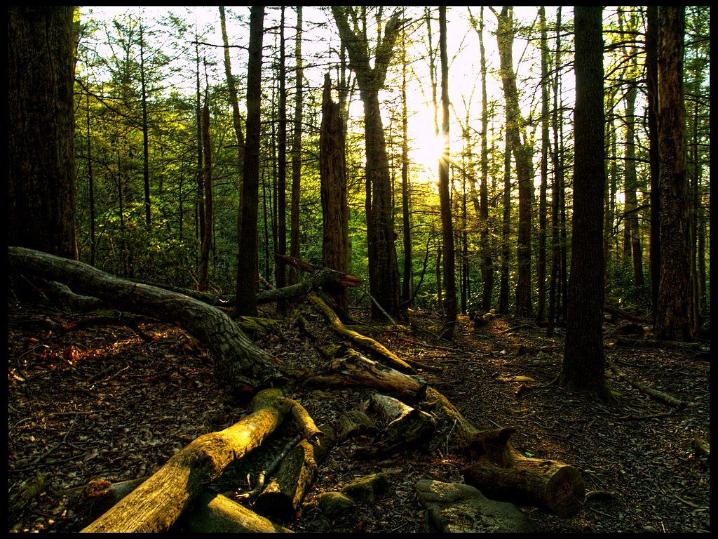
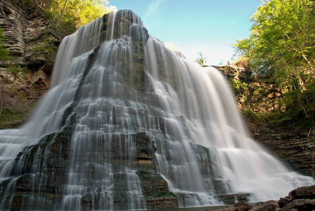
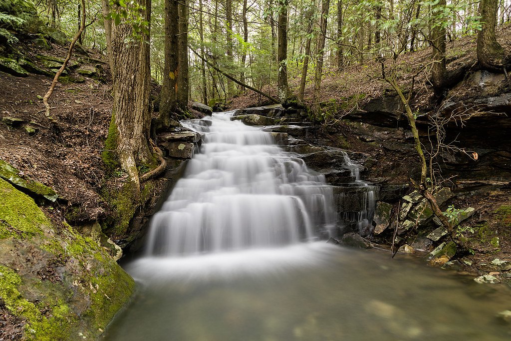
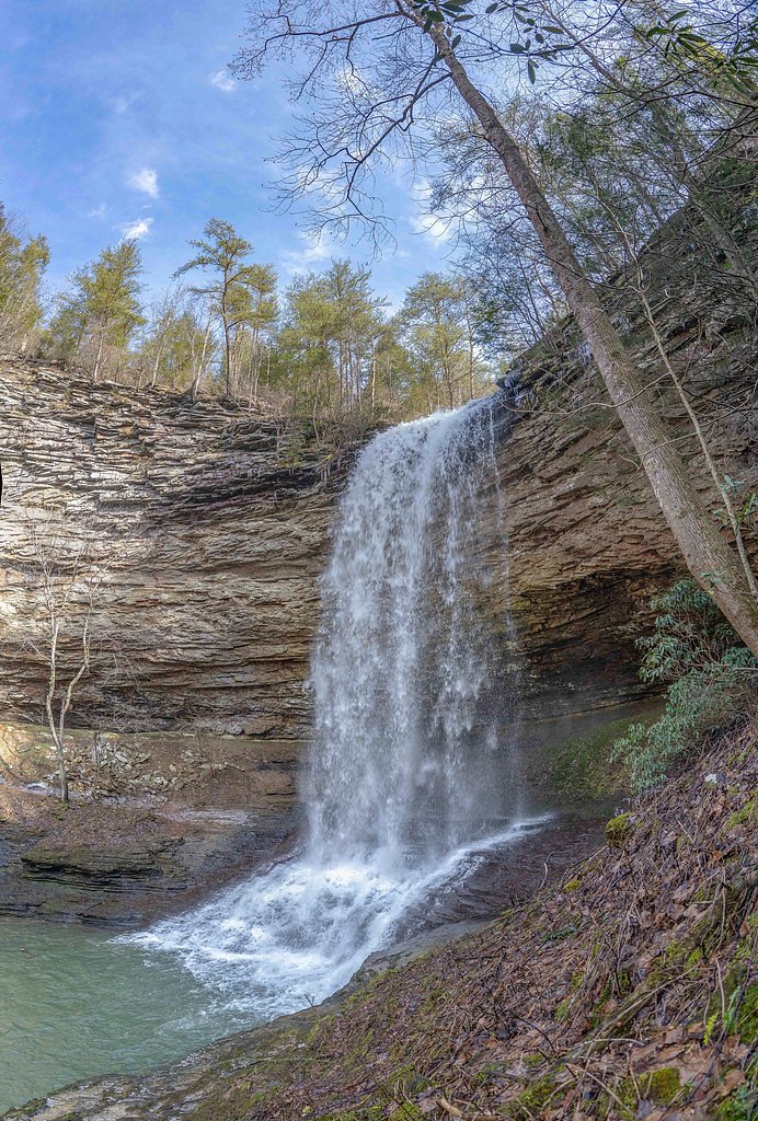
About Ray Falls
Tucked away in Tennessee, Ray Falls is a lesser-known cascade that offers a peaceful, picture-perfect setting surrounded by mature forest. Its secluded feel makes it a pleasant destination for hikers and photographers looking to escape the crowds and enjoy a quiet stretch of wooded landscape. The falls are reached via a moderately rated out-and-back hike of about 2.4 miles with roughly 350 feet of elevation gain. The approach threads through forested terrain and can be uneven in places, so come prepared with sturdy footwear and a relaxed schedule—the short climb rewards you with a tranquil waterfall and an easy half-day outing.
The Setting
Ray Falls sits at 1,283 feet along the Basses Creek, in the foothills of Tennessee.
Nearby Falls Worth Visiting
Ozone Falls (110 ft) lies 7.0 miles to the north. Also nearby: Laurel Falls (80 ft, 3.2 mi) and Upper Piney Falls (80 ft, 3.7 mi).
Trail & Hike Details
The Approach
The moderate 2.4-mile out-and-back trail gains 350 feet of elevation on the way to the falls.
Trail Description
Length: 2.4 miles (out-and-back). Elevation gain: ~350 feet. Difficulty: Moderate. USFS trail name/number: not documented. Surface/grade/class: official USFS surface/grade/class data are not available for this route; the trail follows natural forest tread and may be uneven in spots. Hikers should expect typical backcountry footing and moderate grades over the course and use appropriate footwear and caution, especially when wet.
What to Expect
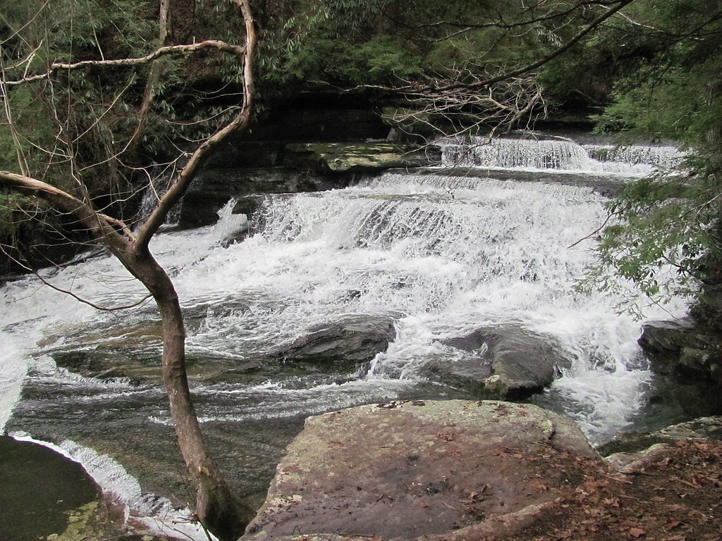
Visitors can expect a peaceful natural setting with a waterfall surrounded by forest. The area may be less crowded compared to more popular waterfalls in Tennessee.
Accessibility
The trail is not wheelchair accessible. Uneven terrain and elevation changes require steady footing.
Frequently Asked Questions
🐶 Are Dogs Allowed at Ray Falls?
❌ Dogs are not allowed
Are There Any Fees or Permits Required?
🆖 No fees required
🏊 Is There Swimming at Ray Falls?
❌ Swimming is not allowed
When to Visit
Spring and fall are typically the best times to visit, as the waterfall may have higher flow during these seasons. Summer is also a good option, but be prepared for warmer temperatures.
Seasonal Access
The best time to visit is Spring, Summer, and Fall. Winter access may be limited.
Safety Information
Visitors should be cautious of slippery rocks, uneven terrain, and potential wildlife encounters. Always stay on marked trails and avoid visiting during severe weather.
Current Water Conditions
1 ft³/s
Current discharge — how much water is flowing
About average for this time of year
Based on 14 years of record
2.36 ft
Water depth at gauge
7-Day Discharge Trend
What does this mean for your visit?
Flow is about average for this time of year.
About This Gauge
This gauge is on a nearby waterway and may not reflect exact conditions at the falls.
7-Day Flow Outlook
Based on the USGS gauge BASSES CREEK AT LAKE TANSI NR CROSSVILLE,TN (21 km away).
Today
Low
1 cfs
6/10Tomorrow
Low
1 cfs
6/10Wed
Low
2 cfs
6/10Thu
Moderate
2 cfs
4/10Fri
Moderate
2 cfs
4/10Sat
Moderate
2 cfs
4/10Sun
Moderate
2 cfs
4/10Best window: Today — low flow, sunny (trip score 6/10).
Best time of year: this gauge typically runs highest from mid February to late March, peaking in December.
How we calculate this
This is a transparent outlook, not a precise forecast. We take the waterfall's current flow strength (how it ranks against its historical normal for today, from the nearest USGS stream gauge), carry that ranking forward along the gauge's seasonal curve, and nudge it for forecast rain. Confidence is highest for the next day or two and falls further out. Always check official conditions and your own judgment before visiting — high flows can be dangerous.
Know when to go.
Get a free email alert when waterfalls near Spring City hit peak flow. We only send when conditions are worth the trip — no weekly newsletters, no spam.
Weather Forecast
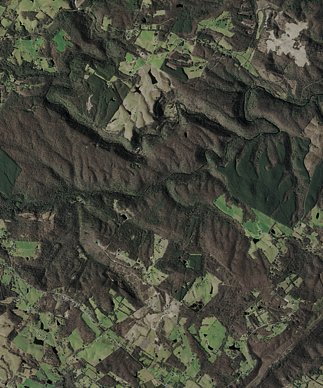
Location & Access
Getting There
Ray Falls is located in Tennessee, but specific directions to the trailhead or parking area are not well-documented. Visitors are encouraged to consult local resources or hiking guides for the most accurate information.
Get Directions on Google MapsParking
Parking availability is unclear, but it is recommended to check for nearby designated parking areas or trailhead parking.
Elevation
1,283 feet above sea level
Coordinates
35.781385° N, -84.842172° W
Visitor Tips & Gear
Wear sturdy footwear and bring plenty of water. Check local weather conditions before visiting, as trails may become slippery or inaccessible after heavy rain.
As an Amazon Associate, we earn from qualifying purchases.
With 2.4 miles and 350 ft of elevation gain, sturdy boots and trekking poles will help on this moderate trail. Sun exposure on the trail makes good sun protection a must in summer.

Polarized Sunglasses (Knockaround)
Cuts glare off the water so you actually see the falls — and your photos turn out better too.

Columbia Watertight II Rain Jacket
Packs into its own pocket, seam-sealed, and keeps you dry from spray and surprise rain.

Earth Pak Waterproof Dry Bag
Keeps your phone and gear dry when waterfall mist soaks everything else.

Waterproof Phone Pouch (AiRunTech)
Cheap insurance — take photos right next to the falls without killing your phone.

Timberland Euro Sprint Mid Waterproof
Trusted waterproof boot with premium leather and grippy rubber sole — reliable on rocky, wet trails.

TrailBuddy Trekking Poles
Lightweight aluminum, cork grips, and flip-locks that actually hold — a best-seller for good reason.
Where to Stay

Holiday Inn Express & Suites Crossville by IHG

Comfort Inn Harriman

Comfort Suites Crossville

Hampton Inn Crossville
Browse vacation cabins and private rentals nearby
Unique outdoor stays — tents, yurts, and treehouses
Rent a campervan or RV for your waterfall road trip
Some links are affiliate links. We may earn a commission at no extra cost to you.
Nearby Campground
Rock Creek Campground (TN)
22.3 miles away · 11 sites
Overview Rock Creek Campground is located near the Emory River in the Obed Wild and Scenic River.Recreation Whitewater paddling is available seasonally in the Obed WSR. Rock climbing is another challenging activity, as is boulder climbing. The Obed WSR sports several unique trails for hikers, most notably the Point Trail and a portion of the Cumberland Trail. Those who like to fish will enjoy the Obed WSR, as a variety of bass, bluegill, catfish and other fish populate the river. Birdwatching is
Book on Recreation.govAdditional Information
Nearby Attractions
Nearby attractions are not well-documented, but Tennessee offers many other waterfalls and hiking opportunities.
Wildlife
The area may feature typical Tennessee wildlife such as birds, deer, and small mammals. Be cautious of snakes and other potentially hazardous wildlife.
Cities near Ray Falls
Nearby Waterfalls
Writing about Ray Falls? Embed this waterfall on your site for free.