Photo Credits (5)
Difficulty
Moderate
Trail Length
0.5 km
Trail Type
Out And Back
Elevation Gain
60 m
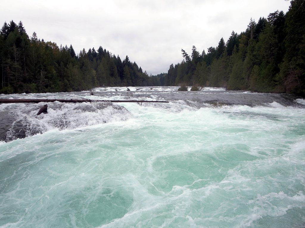
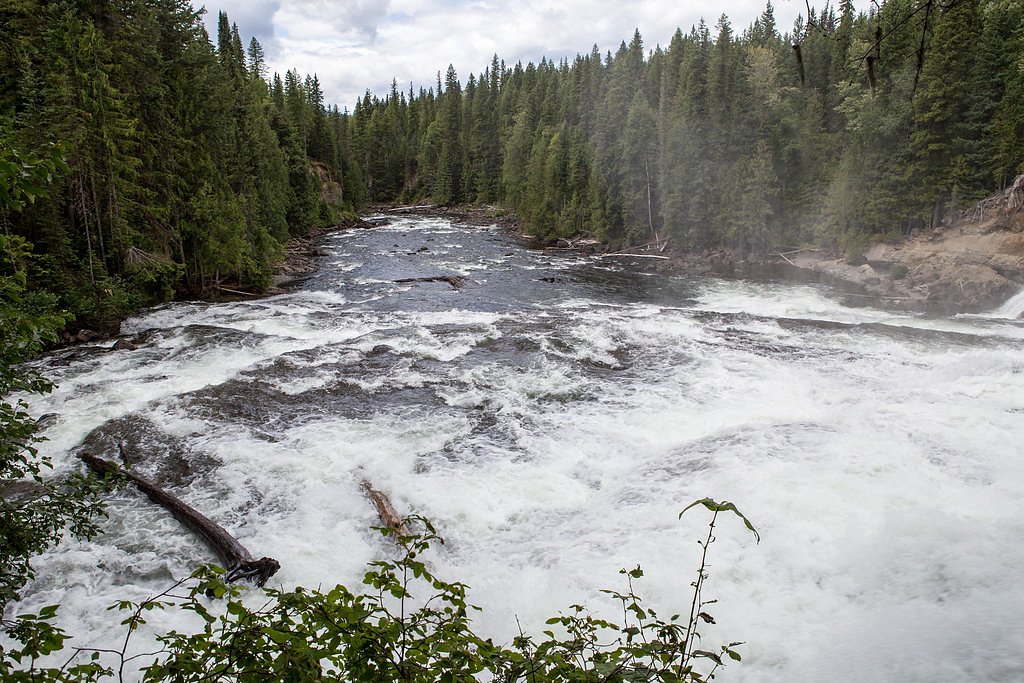
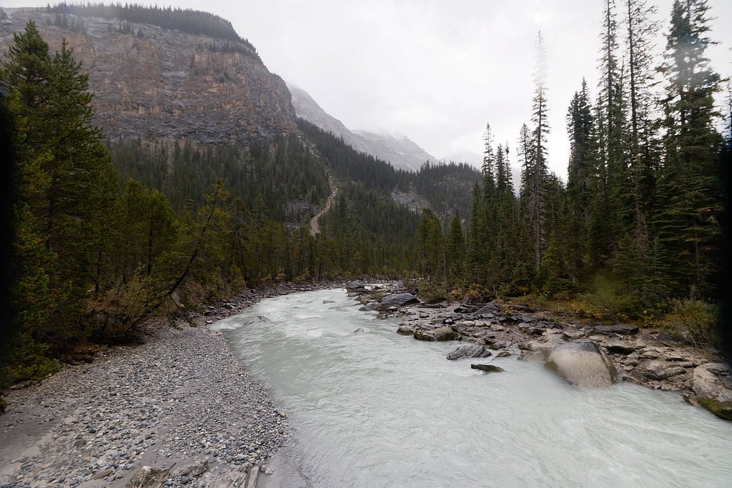
About Snow Creek Falls
Snow Creek Falls is a forested waterfall on Vancouver Island, British Columbia, located at approximately 49.2714, -125.1802. The falls sit in a remote/semiremote coastal-forest setting west of Courtenay and relatively near the Tofino region. Visitor reports suggest a natural, undeveloped site with no formal viewing platform; water flow can be strongly seasonal with higher volume in spring and after heavy rain.
The Setting
Snow Creek Falls sits at 55 metres within Old Growth Management Areas (Mapped Legal), in the coastal lowlands of British Columbia.
Why This Waterfall Exists
Snow Creek Falls flows over Karmutsen Formation, a hard volcanic rock layer deposited about 227-237 million years ago. These resistant rocks form a durable ledge that water cannot easily wear away, creating the falls where softer material downstream has already eroded.
Nearby Falls Worth Visiting
Kennedy River Falls (9 m) lies 15.1 kilometres to the west.
Trail & Hike Details
The Approach
The moderate 0.5-km out-and-back trail gains 60 metres of elevation on the way to the falls.
Trail Description
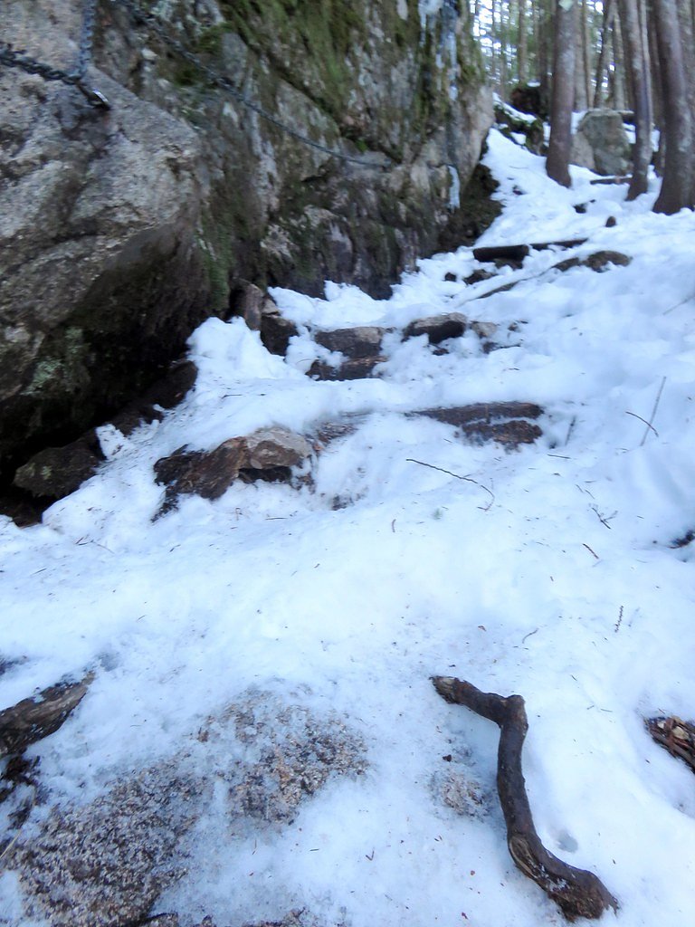
Approaches reported by visitors are through coastal temperate rainforest with roots, mud, and possible blowdown on the route. Trails to the falls appear to be unmaintained or lightly used; route-finding may be required. There are likely no built stairways or handrails. Expect uneven terrain, slippery surfaces near the creek, and possible short bushwhack sections. Because official trail data is limited, plan conservatively and allow extra time for navigation.
What to Expect
A natural cascade set in dense forest. Flow varies with season, higher and more dramatic in spring and after heavy rain, lower in late summer. There are likely exposed wet rock slabs and steep banks adjacent to the creek. No visitor infrastructure (restrooms, railings, waste bins) is expected. Cell coverage may be unreliable; conditions can be muddy and buggy in warm months.
Accessibility
The trail is not wheelchair accessible. Uneven terrain and elevation changes require steady footing.
Frequently Asked Questions
🐶 Are Dogs Allowed at Snow Creek Falls?
❌ Dogs are not allowed
Are There Any Fees or Permits Required?
🆖 No fees required
🏊 Is There Swimming at Snow Creek Falls?
❌ Swimming is not allowed
When to Visit
Late spring (snowmelt and seasonal rains) for highest flows; summer for easier access and drier trails; early fall can also offer good flows with fewer bugs. Avoid visiting during heavy storms or immediately after major rainfall due to flashier stream conditions and slippery terrain.
Seasonal Access
The best time to visit is Spring, Summer, and Fall. Winter access may be limited. Check with the managing park or local authority for current conditions.
Safety Information
Primary hazards: slippery rock and wet banks near the falls, strong currents after rain, unstable or steep terrain, limited or no cell coverage, and possible remoteness from emergency services. Weather can change quickly, dress in layers and be prepared for rain. Check for recent trip reports or land-management notices about road or trail closures. If you encounter logging operations, maintain a safe distance and obey posted signs.
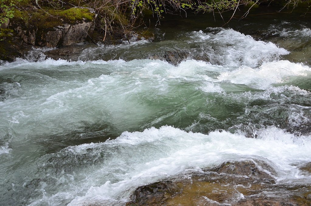
Current Water Conditions
4.7 m³/s
Current discharge — how much water is flowing
About average for this time of year
Based on 63 years of record
0.54 m
Water depth at gauge
7-Day Discharge Trend
What does this mean for your visit?
Flow is about average for this time of year.
About This Gauge
This gauge is on a nearby waterway and may not reflect exact conditions at the falls.
7-Day Flow Outlook
Based on the WSC gauge ASH RIVER BELOW MORAN CREEK (18 km away).
Today
Moderate
4.7 m³/s
8/10Tomorrow
Moderate
4.7 m³/s
9/10Tue
Moderate
4.4 m³/s
8/10Wed
Moderate
4.4 m³/s
8/10Thu
Moderate
4.4 m³/s
8/10Fri
Moderate
4.2 m³/s
8/10Sat
Moderate
4.6 m³/s
6/10Best window: Tomorrow — moderate flow, sunny (trip score 9/10).
Best time of year: this gauge typically runs highest from mid November to late December, peaking in December.
How we calculate this
This is a transparent outlook, not a precise forecast. We take the waterfall's current flow strength (how it ranks against its historical normal for today, from the nearest WSC stream gauge), carry that ranking forward along the gauge's seasonal curve, and nudge it for forecast rain. Confidence is highest for the next day or two and falls further out. Always check official conditions and your own judgment before visiting — high flows can be dangerous.
Know when to go.
Get a free email alert when waterfalls near Courtenay hit peak flow. We only send when conditions are worth the trip — no weekly newsletters, no spam.
Weather Forecast
Location & Access
Getting There
The waterfall is on Vancouver Island west of Courtenay (approx. 27.8 miles), and nearer the west-coast communities (approx. 37.2 miles to Tofino, 56.6 miles to Powell River by ferry/road combinations). Nearest vehicle access is likely via secondary or forestry roads; final approach is typically by foot on an unmarked or lightly maintained trail. Exact access routes may change with logging activity or seasonal road closures, check local maps and land-management agencies before travel.
Get Directions on Google MapsParking
Parking is likely informal and limited (pullouts or at the end of a forestry/parking spur). Expect no formal lot, signage, or facilities. Park clear of gates and private driveways and obey posted closures.
Elevation
55 metres above sea level
Coordinates
49.271397° N, -125.180229° W
Land Management
Managed by Government of British Columbia
Visitor Tips & Gear
Tell someone your plans and expected return time. Wear sturdy, waterproof footwear with good traction. Bring a map, compass/GPS, and basic first aid. Expect insects in summer and bring repellent. Check recent trip reports or local park/forest service notices for road access, logging activity, or trail issues before heading out. Avoid approaching the edge of the falls, rocks are slippery and currents can be strong after rain.
As an Amazon Associate, we earn from qualifying purchases.
With 0.5 km and 60 m of elevation gain, sturdy boots and trekking poles will help on this moderate trail. Sun exposure on the trail makes good sun protection a must in summer.

Polarized Sunglasses (Knockaround)
Cuts glare off the water so you actually see the falls — and your photos turn out better too.

Columbia Watertight II Rain Jacket
Packs into its own pocket, seam-sealed, and keeps you dry from spray and surprise rain.

Earth Pak Waterproof Dry Bag
Keeps your phone and gear dry when waterfall mist soaks everything else.

Waterproof Phone Pouch (AiRunTech)
Cheap insurance — take photos right next to the falls without killing your phone.

Timberland Euro Sprint Mid Waterproof
Trusted waterproof boot with premium leather and grippy rubber sole — reliable on rocky, wet trails.

TrailBuddy Trekking Poles
Lightweight aluminum, cork grips, and flip-locks that actually hold — a best-seller for good reason.
Where to Stay
Browse vacation cabins and private rentals nearby
Unique outdoor stays — tents, yurts, and treehouses
Rent a campervan or RV for your waterfall road trip
Some links are affiliate links. We may earn a commission at no extra cost to you.
Nearby Campground
Group Campground
10 km away
Additional Information
Nearby Attractions
Regional attractions include communities and outdoor destinations on western Vancouver Island such as Courtenay/Comox area to the east, the Tofino/Ucluelet region and Pacific Rim coastal parks to the west. Local beaches, scenic drives, and other forested trails are common in the broader area.
Wildlife
You may encounter typical coastal Vancouver Island wildlife: black bears, deer, small mammals, and a variety of birds (including raptors). Be bear-aware and store food properly. Coastal forest areas can also have cougars, practice standard wilderness safety.
Cities near Snow Creek Falls
Nearby Waterfalls
Other waterfalls named Snow Creek Falls
2 other waterfalls share this name across Canada.
Writing about Snow Creek Falls? Embed this waterfall on your site for free.