Snow Creek Falls
California • Yosemite National Park
By Armen Suny · Last verified Sep 2026
LiDAR & 3D terrain
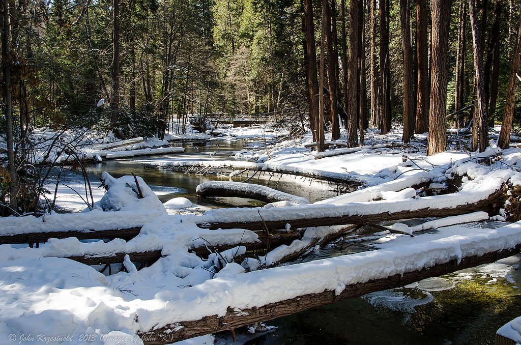
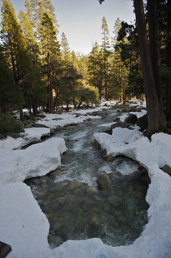
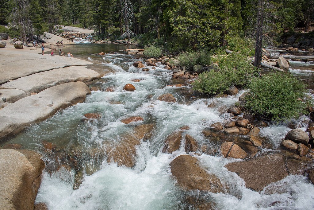

Photo Credits (5)
Difficulty
Hard
Trail Length
9.4 miles
Trail Type
Out And Back
Elevation Gain
2 ft
About Snow Creek Falls
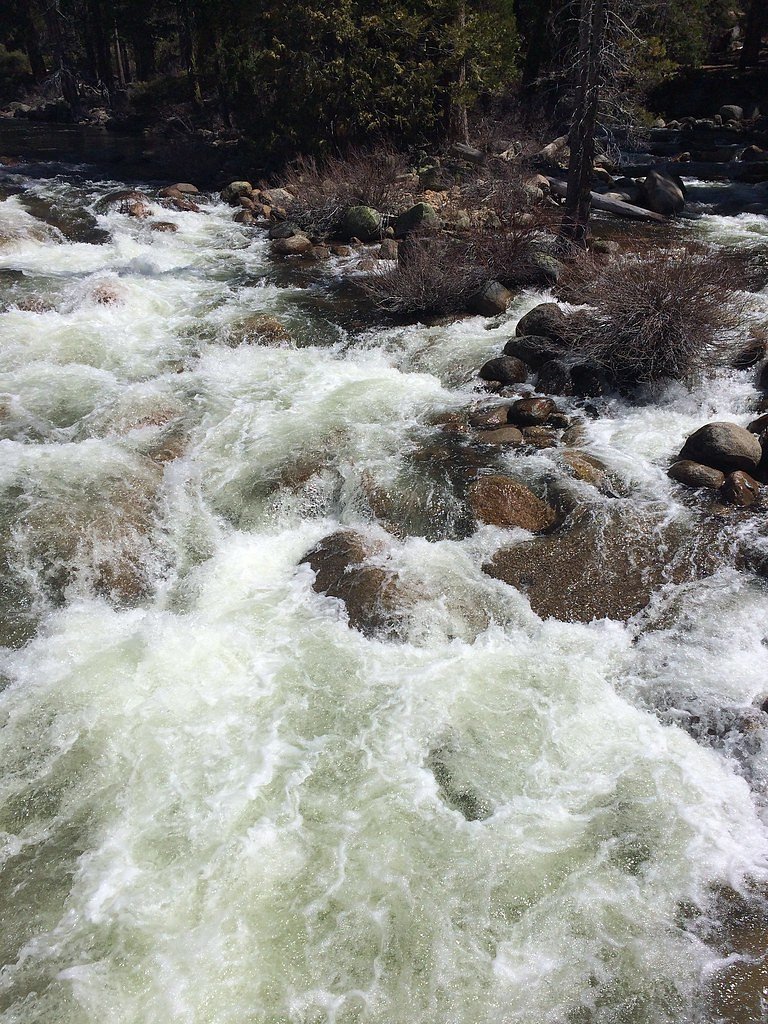
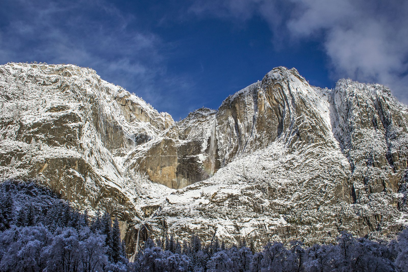
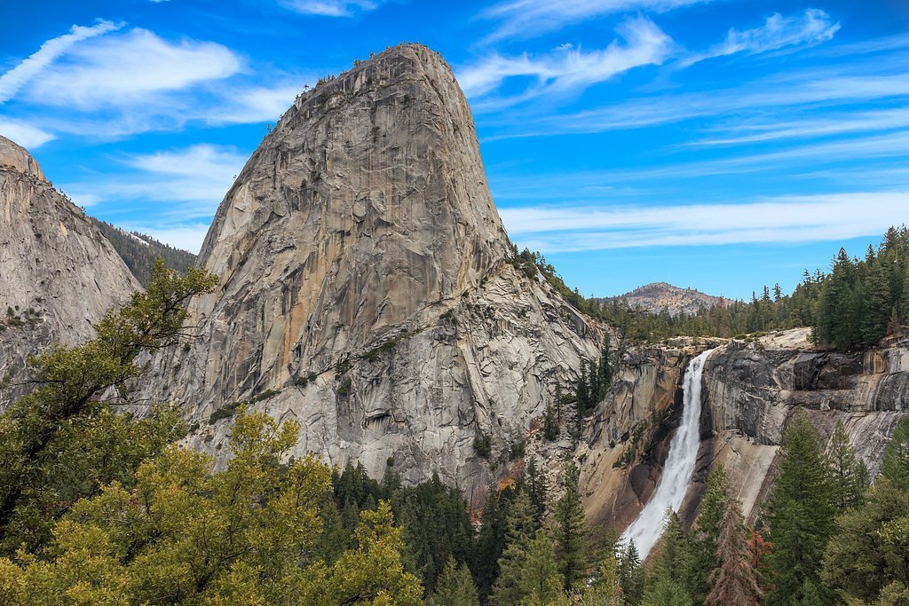
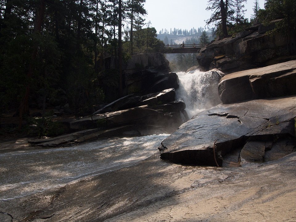
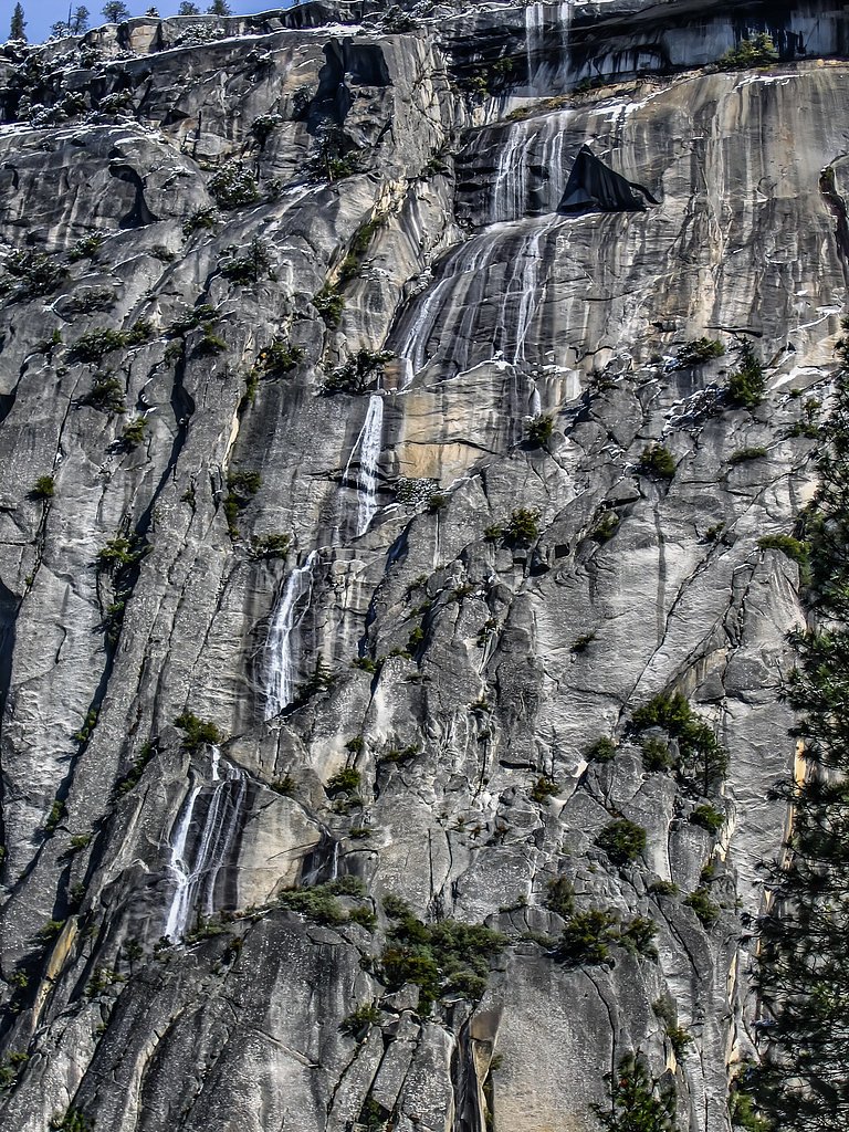
Snow Creek Falls is a multi-tiered waterfall located in Yosemite National Park, California. It is part of Snow Creek, which flows down the north rim of Yosemite Valley. The falls are known for their dramatic drop and stunning views of the surrounding granite cliffs.
The Setting
Snow Creek Falls sits at 5,230 feet within Yosemite National Park, in the high mountains of California.
Nearby Falls Worth Visiting
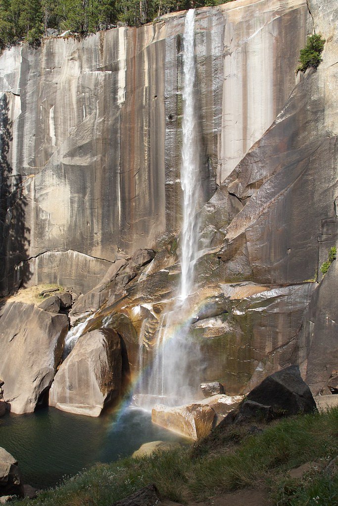
Lehamite Falls (1180 ft) lies 2.4 miles to the west. Also nearby: Nevada Fall (594 ft, 2.8 mi) and Vernal Fall (317 ft, 2.6 mi).
Trail & Hike Details
The Approach
The hard 9.4-mile out-and-back trail gains 2 feet of elevation on the way to the falls.
Trail Description
The Snow Creek Trail is a challenging hike that ascends steep switchbacks, offering breathtaking views of Yosemite Valley and Half Dome along the way. The trail is well-maintained but requires good physical fitness due to its elevation gain and length.
What to Expect
Expect a strenuous hike with rewarding views of Yosemite Valley and the cascading Snow Creek Falls. The falls are most impressive in spring and early summer when snowmelt increases water flow.
Accessibility
The trail involves steep, uneven terrain with significant elevation change and is not accessible to mobility devices.
Frequently Asked Questions
🐶 Are Dogs Allowed at Snow Creek Falls?
❌ Dogs are not allowed
Are There Any Fees or Permits Required?
🤑 Fee: $35.00
Permit required
A wilderness permit is required for overnight stays in Yosemite's backcountry, including the Snow Creek area. Day hikes do not require a permit.
🏊 Is There Swimming at Snow Creek Falls?
❌ Swimming is not allowed
When to Visit
The best time to visit Snow Creek Falls is in late spring or early summer when the water flow is at its peak due to snowmelt.
Seasonal Access
The best time to visit is Spring, Summer, and Fall. Access roads and trails may close during winter due to snow. Check with Yosemite National Park for current conditions.
Safety Information
The trail is steep and strenuous, with exposed sections that can be hazardous. Carry plenty of water, watch for loose rocks, and be cautious of changing weather conditions. During winter, the trail may be icy and dangerous.
Current Water Conditions
5 ft³/s
Current discharge — how much water is flowing
Lower than usual for this time of year
Based on 110 years of record
0.67 ft
Water depth at gauge
51°F
ColdBracing — limit time in water
7-Day Discharge Trend
What does this mean for your visit?
Flow is lower than usual for this time of year. Water temperature is a bracing 51 degrees F, limit your time in the water.
About This Gauge
7-Day Flow Outlook
Based on the USGS gauge MERCED R A HAPPY ISLES BRIDGE NR YOSEMITE CA (4 km away).
Today
Barely Flowing
5 cfs
5/10Tomorrow
Low
6 cfs
3/10Tue
Barely Flowing
6 cfs
5/10Wed
Barely Flowing
5 cfs
5/10Thu
Barely Flowing
5 cfs
5/10Fri
Barely Flowing
5 cfs
5/10Sat
Barely Flowing
5 cfs
5/10Best window: Today — barely flowing flow, smoke (trip score 5/10).
Best time of year: this gauge typically runs highest from early April to early July, peaking in May.
How we calculate this
This is a transparent outlook, not a precise forecast. We take the waterfall's current flow strength (how it ranks against its historical normal for today, from the nearest USGS stream gauge), carry that ranking forward along the gauge's seasonal curve, and nudge it for forecast rain. Confidence is highest for the next day or two and falls further out. Always check official conditions and your own judgment before visiting — high flows can be dangerous.
Know when to go.
Get a free email alert when waterfalls near Yosemite Valley hit peak flow. We only send when conditions are worth the trip — no weekly newsletters, no spam.
Weather Forecast
The Terrain, Seen by LiDAR
Aircraft-mounted lasers measured this ground to within inches. Trees and buildings are digitally stripped away, leaving the bare shape of the land the water has carved.
Through the falls the surface drops roughly 469 feet over a short, steep run of tiers. Elevation at the pin is about 5,210 feet.
Steep ground runs through the entire stretch: about 293 feet of descent in the 500 feet above the pin and 130 feet in the 500 feet below it. Facing south, the falls sit in full sun for most of the day, best photographed early or late.
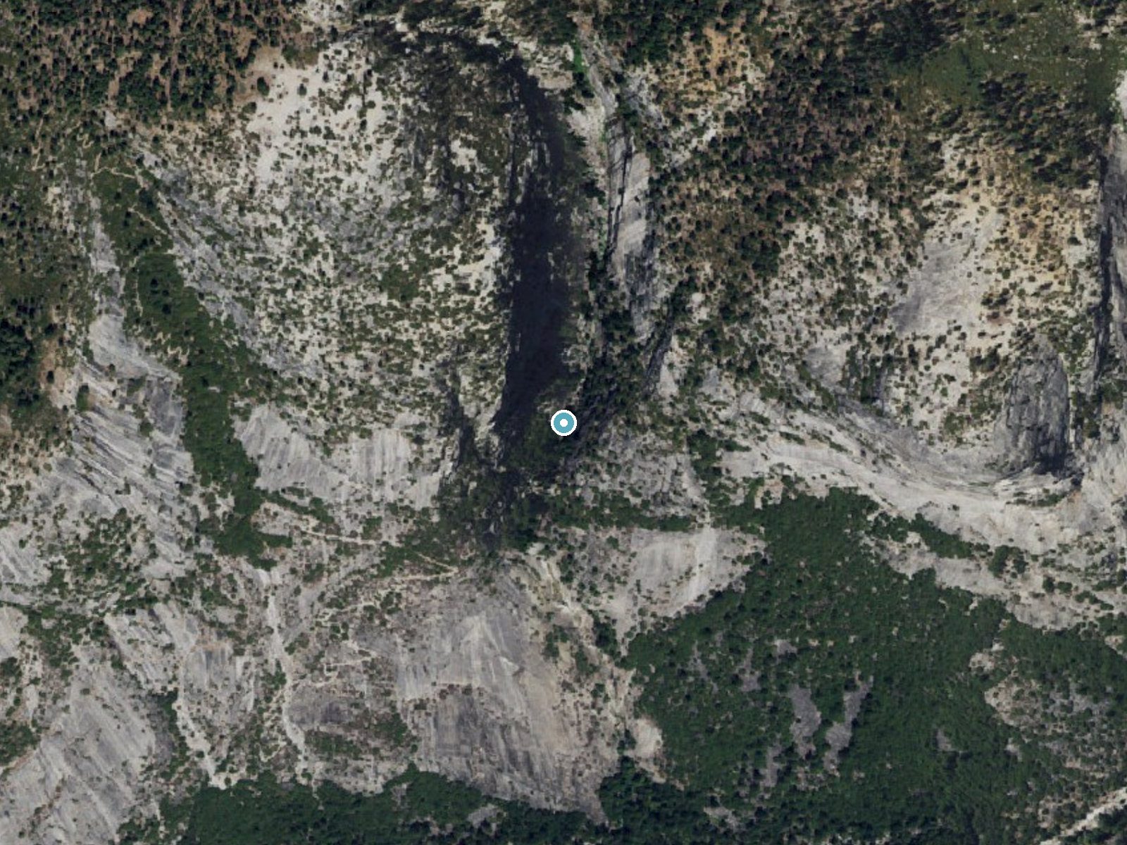
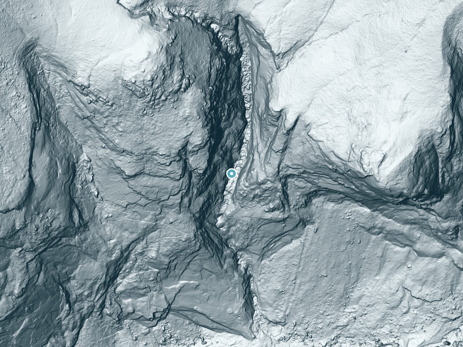
Drag to compare. The dot marks the waterfall. The frame is about a mile across.
- Ground elevation
- 5,210 feet
- Measured by 1-meter lidar
- Drop at the falls
- About 469 feet
- Change in ground height within ~250 feet of the falls
- Faces
- South
- Sunlit most of the day. Go early or late for softer light.
A slice through the lidar ground surface, from above the falls to downstream (heading south).
Elevation data: USGS 3D Elevation Program. Aerial imagery: USGS The National Map. Public domain.
Location & Access
Getting There
Snow Creek Falls is accessed via the Snow Creek Trail, which begins near Mirror Lake in Yosemite Valley. Visitors must hike up a steep trail to reach the falls.
Get Directions on Google MapsParking
Parking is available near the Mirror Lake trailhead in Yosemite Valley. Arrive early, especially during peak seasons, as parking can fill up quickly.
Elevation
5,230 feet above sea level
Coordinates
37.765480° N, -119.534885° W
Land Management
Managed by NPS
Visitor Tips & Gear
Start early in the day to avoid the heat and ensure you have enough time to complete the hike. Bring plenty of water, snacks, and sturdy hiking boots. Be prepared for steep sections and exposed areas along the trail.
As an Amazon Associate, we earn from qualifying purchases.
This challenging 9.4 miles trail gains 2 ft in elevation — come prepared with proper hiking boots and trekking poles. Sun exposure on the trail makes good sun protection a must in summer.
America the Beautiful Annual Pass
Covers entrance fees at 2,000+ federal recreation sites — required at most National Parks.

Sawyer Squeeze Water Filter
The backcountry standard — filters 99.9% of bacteria and weighs just 3 oz.

Polarized Sunglasses (Knockaround)
Cuts glare off the water so you actually see the falls — and your photos turn out better too.

Columbia Watertight II Rain Jacket
Packs into its own pocket, seam-sealed, and keeps you dry from spray and surprise rain.

Earth Pak Waterproof Dry Bag
Keeps your phone and gear dry when waterfall mist soaks everything else.

Waterproof Phone Pouch (AiRunTech)
Cheap insurance — take photos right next to the falls without killing your phone.

Timberland Euro Sprint Mid Waterproof
Trusted waterproof boot with premium leather and grippy rubber sole — reliable on rocky, wet trails.
Where to Stay
Yosemite View Lodge
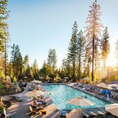
Rush Creek Lodge at Yosemite
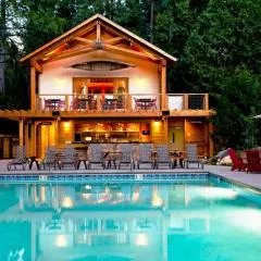
Evergreen Lodge at Yosemite
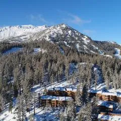
Timber Ridge Resort by 101 Great Escapes
Browse vacation cabins and private rentals nearby
Unique outdoor stays — tents, yurts, and treehouses
Rent a campervan or RV for your waterfall road trip
Some links are affiliate links. We may earn a commission at no extra cost to you.
Nearby Campground
Lower Pines Campground
2.4 miles away · 75 sites
Overview Lower Pines is closed for the winter season.Lower Pines campsites are available to reserve up to five months in advance on the 15th of each month at 7:00 a.m. PST. For example, on January 15, arrival dates for the period May 15 to June 14 become available to reserve, and therefore, the full arrival date window would be from the campground open date to June 14. Reservation tips! Campsites in Yosemite are extremely popular and typically sell out in minutes. Login to your account or create
Book on Recreation.govNearby Hot Springs
Hot springs near Arnold, California
Unnamed Spring Mono County 7
This 97-degree thermal spring sits at 8,159 feet elevation within Inyo National Forest, running an extraordinary 56.7 degrees a...

Reds Meadow Hot Springs
Reds Meadow Hot Springs flows at an impressive 115°F high in the Eastern Sierra at 7,638 feet elevation, delivering water 72 de...

Unnamed Spring Mono County 5
This 72-degree thermal spring near Bridgeport sits at 6,383 feet elevation, requiring a short 160-meter walk from the road in M...

Fumaroles
Fumaroles vent superheated steam high in the Sierra at 8,167 feet, where the geothermal system expresses itself through mountai...

Unnamed Spring Mono County 6
This 91-degree thermal spring near Mammoth Lakes delivers exceptional warmth, running 42 degrees above the cool ambient air whe...

Unnamed Spring Mono County 2
At 7,313 feet elevation, this 72-degree thermal spring near Mammoth Lakes flows just 45 meters from El Camino Sierra Road in ha...
Looking for a soak after your hike? Explore more hot springs near Arnold, California on SoakingSprings.
Explore California springsAdditional Information
Nearby Attractions
Mirror Lake, Half Dome, Yosemite Falls, and the Yosemite Valley Visitor Center are all nearby attractions worth visiting.
Wildlife
Wildlife in the area includes deer, black bears, and various bird species. Be cautious and store food properly to avoid attracting animals.
Cities near Snow Creek Falls
Nearby Waterfalls
Other waterfalls named Snow Creek Falls
2 other waterfalls share this name across the U.S.
Writing about Snow Creek Falls? Embed this waterfall on your site for free.