Photo Credits (5)
About Salmon Falls
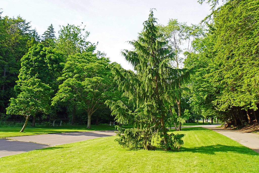
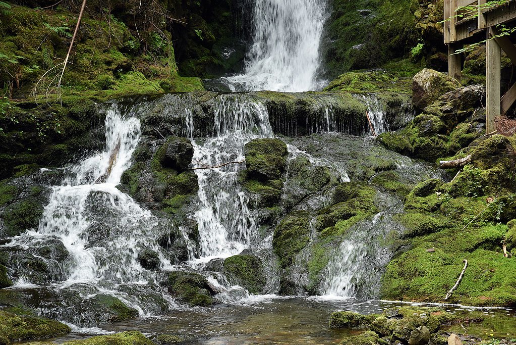
Salmon Falls (near coordinates 44.1824, -64.6957) is a small riverine waterfall on a Salmon River tributary in Queens County, Nova Scotia, approximately 8 miles from Liverpool and ~44 miles from Shelburne. The falls are in a forested, coastal-Acadian landscape and are typically most impressive in spring or after periods of heavy rain. Details about formal development (viewing platforms, signage) are unclear and may be minimal, visitors should expect a natural, possibly undeveloped site.
Why This Waterfall Exists
Salmon Falls flows over layered sedimentary rock laid down about 444-539 million years ago. Over time, the stream has worn through these layers at different rates, creating the step that forms the waterfall.
Trail & Hike Details
Trail Description
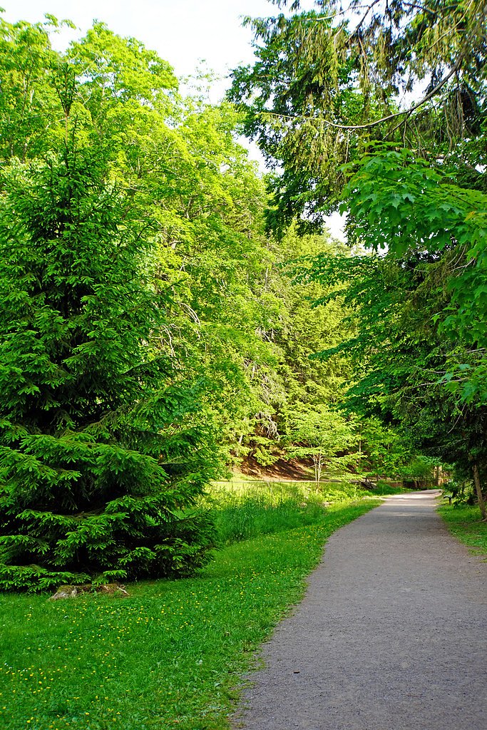
Reports and maps are inconsistent about a developed trail to Salmon Falls. Expect an unimproved walking path or short scramble from a roadside parking area through mixed forest and over uneven, possibly muddy ground. Terrain may include roots, rocks, and a narrow riverbank; the final approach to the falls may be steep and slippery.
What to Expect
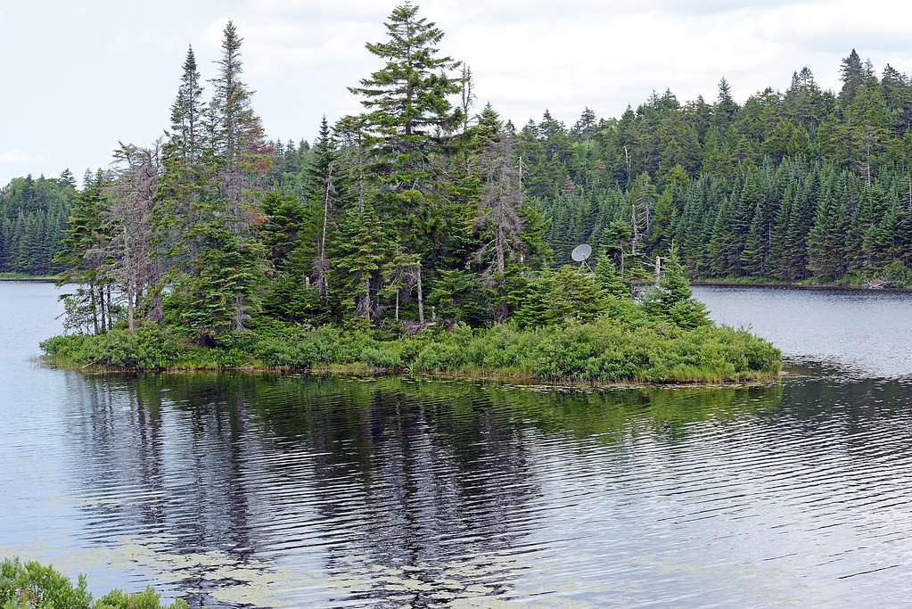
A small, natural waterfall set in forested river valley. Water flow varies seasonally, highest in spring and after rain, lower in late summer. Little to no visitor infrastructure (benches, railings, restrooms) should be expected. Cell service may be spotty. Wildlife typical of coastal Nova Scotia (songbirds, shorebirds, beavers, deer; occasional black bear or moose in the region) may be present.
Accessibility
The site is likely not accessible for people using wheelchairs or with limited mobility due to uncertain/unimproved trails, uneven terrain, and potentially steep riverbanks.
Frequently Asked Questions
🐶 Are Dogs Allowed at Salmon Falls?
❌ Dogs are not allowed
Are There Any Fees or Permits Required?
🆖 No fees required
🏊 Is There Swimming at Salmon Falls?
❌ Swimming is not allowed
When to Visit
Late spring (snowmelt/after rains) for stronger flows and early fall for fall foliage. Early morning or weekday visits will usually be quieter. Avoid visiting during or immediately after heavy storms due to flood risk and unstable banks.
Seasonal Access
The best time to visit is Spring, Summer, and Fall. Winter access may be limited. Check with the managing park or local authority for current conditions.
Safety Information
Hazards can include slippery rocks and riverbanks, sudden changes in water flow after rain, cold water temperatures, and lack of formal safety barriers. Bring a companion if possible, tell someone your plans, and avoid getting too close to the edge. Beware of insects (black flies, mosquitoes) and check for ticks after visiting. If terrain is unfamiliar or weather is poor, consider not attempting the approach.
Current Water Conditions
Based on a Water Survey of Canada gauge 30.6 km away
2.7 m³/s
Current discharge — how much water is flowing
Lower than usual for this time of year
Based on 110 years of record
1.56 m
Water depth at gauge
7-Day Discharge Trend
What does this mean for your visit?
Flow is lower than usual for this time of year.
About This Gauge
This gauge is on a regional waterway. Conditions at the falls may differ, especially after local rain.
7-Day Flow Outlook
Based on the WSC gauge LAHAVE RIVER AT WEST NORTHFIELD (31 km away).
Today
Low
2.7 m³/s
4/10Tomorrow
Low
2.6 m³/s
5/10Tue
Low
2.3 m³/s
5/10Wed
Low
2.5 m³/s
4/10Thu
Low
2.4 m³/s
5/10Fri
Low
2.5 m³/s
4/10Sat
Low
2.3 m³/s
5/10Best window: Tomorrow — low flow, cloudy (trip score 5/10).
Best time of year: this gauge typically runs highest from mid March to early May, peaking in April.
How we calculate this
This is a transparent outlook, not a precise forecast. We take the waterfall's current flow strength (how it ranks against its historical normal for today, from the nearest WSC stream gauge), carry that ranking forward along the gauge's seasonal curve, and nudge it for forecast rain. Confidence is highest for the next day or two and falls further out. Always check official conditions and your own judgment before visiting — high flows can be dangerous.
Know when to go.
Get a free email alert when waterfalls near Liverpool hit peak flow. We only send when conditions are worth the trip — no weekly newsletters, no spam.
Weather Forecast
Location & Access
Getting There
The waterfall is located near 44.1824, -64.6957, roughly 8 miles from Liverpool, NS, and about 44 miles from Shelburne. Access is typically from local secondary roads and a short trail or roadside pullout; exact trailheads and parking locations vary and may not be signed. Use a GPS or mapping app with the coordinates and confirm with local resources (visitor centre in Liverpool or local land managers) before visiting.
Get Directions on Google MapsParking
Parking is likely limited to a small pullout or informal roadside space. There may be no formal parking lot, so expect limited space and uneven surfaces. Do not block driveways or gates; respect private property.
Elevation
11 metres above sea level
Coordinates
44.182423° N, -64.695705° W
Visitor Tips & Gear
• Confirm access and parking with local tourism/municipal offices in Liverpool before visiting. • Wear sturdy, water-resistant footwear, rock and riverbank surfaces can be slippery. • Bring insect repellent (black flies and mosquitoes can be heavy in late spring/early summer) and check for ticks after hiking. • Stay back from cliff edges and fast-moving water; rocks can be slick with algae. • Do not assume formal trails or safety barriers; supervise children closely. • Pack out all trash and follow Leave No Trace principles. • If the area crosses private land, obtain permission where required.
Where to Stay
Browse vacation cabins and private rentals nearby
Unique outdoor stays — tents, yurts, and treehouses
Rent a campervan or RV for your waterfall road trip
Some links are affiliate links. We may earn a commission at no extra cost to you.
Nearby Campground
Rissers Beach
22.3 km away
Additional Information
Nearby Attractions
Liverpool (approx. 8 miles) offers visitor services, historic sites, and waterfront access. Shelburne is the nearest larger town ~44 miles away. Other regional attractions include rivers, coastal viewpoints, and small community museums, check local tourism resources for up-to-date listings.
Wildlife
Typical wildlife for the region may include songbirds, raptors, beavers, muskrat, white-tailed deer, foxes, and occasional moose or black bear. Expect insects such as black flies and mosquitoes in warmer months.
Cities near Salmon Falls
Nearby Waterfalls
Other waterfalls named Salmon Falls
6 other waterfalls share this name across Canada.
Writing about Salmon Falls? Embed this waterfall on your site for free.