Buggy Hole Falls
By Armen Suny · Last verified Jun 2026
Difficulty
Drive Up
Trail Length
0.2 km
About Buggy Hole Falls
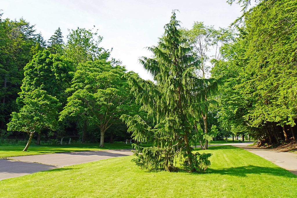
Buggy Hole Falls is a small, forested waterfall near Liverpool, Nova Scotia (approximate coordinates 44.2351, -64.8032). The feature appears to be on a small brook and is not widely documented in major trail guides; on-the-ground conditions and exact access routes may vary. Visitors should expect minimal signage and few (if any) developed facilities at the site.
Why This Waterfall Exists
Buggy Hole Falls flows over layered sedimentary rock laid down about 444-539 million years ago. Over time, the stream has worn through these layers at different rates, creating the step that forms the waterfall.
Trail & Hike Details
The Approach
No hiking required. Buggy Hole Falls is accessible by vehicle with a roadside viewing area.
Trail Description
There is limited published trail information for Buggy Hole Falls. The approach may be a short, unmarked spur or informal footpath from a roadside parking area, or it may require a short bushwhack through mixed forest. Expect uneven footing, roots, and rocks. Because authoritative trail descriptions are scarce, visitors should be prepared for minimal trail infrastructure and use caution when route-finding.
What to Expect
A small, likely wooded stream cascade with variable flow, highest in spring or after heavy rain, lower in late summer and drought periods. Little to no developed infrastructure (no railings, viewing platforms, or restrooms). Terrain may be wet, muddy, and slippery near the falls. Cell service may be limited in parts of the area. Wildlife typical of coastal Nova Scotia woodlands (deer, small mammals, songbirds) may be present.
Accessibility
This waterfall is viewable from a vehicle-accessible area. No hiking is required.
Frequently Asked Questions
🐶 Are Dogs Allowed at Buggy Hole Falls?
❌ Dogs are not allowed
Are There Any Fees or Permits Required?
🆖 No fees required
🏊 Is There Swimming at Buggy Hole Falls?
❌ Swimming is not allowed
When to Visit
Spring and early summer for higher water flow; late spring to fall for easier access and milder weather. Fall offers foliage color. Winter visits are possible but may be hazardous due to ice and snow, exercise caution and consider avoiding if unsure of conditions.
Seasonal Access
The best time to visit is Spring, Summer, Fall, and Winter. Check with the managing park or local authority for current conditions.
Safety Information
Primary hazards: slippery rocks and stream banks, unstable edges, sudden water-level changes after rain, limited or no railings, limited cell service, and insect/tick exposure. Wear appropriate footwear, stay back from edges, supervise children closely, and avoid solo trips to remote/unmarked sites when possible. If terrain looks dangerous or water is high, do not attempt to approach the falls.
Current Water Conditions
Based on a Water Survey of Canada gauge 29 km away
2.4 m³/s
Current discharge — how much water is flowing
Lower than usual for this time of year
Based on 110 years of record
1.55 m
Water depth at gauge
7-Day Discharge Trend
What does this mean for your visit?
Flow is lower than usual for this time of year.
About This Gauge
This gauge is on a regional waterway. Conditions at the falls may differ, especially after local rain.
7-Day Flow Outlook
Based on the WSC gauge LAHAVE RIVER AT WEST NORTHFIELD (29 km away).
Today
Low
2.6 m³/s
4/10Tomorrow
Low
2.4 m³/s
6/10Tue
Low
2.1 m³/s
5/10Wed
Low
2.3 m³/s
4/10Thu
Low
2.4 m³/s
4/10Fri
Low
2.2 m³/s
5/10Sat
Low
2.1 m³/s
5/10Best window: Tomorrow — low flow, mainly sunny (trip score 6/10).
Best time of year: this gauge typically runs highest from mid March to early May, peaking in April.
How we calculate this
This is a transparent outlook, not a precise forecast. We take the waterfall's current flow strength (how it ranks against its historical normal for today, from the nearest WSC stream gauge), carry that ranking forward along the gauge's seasonal curve, and nudge it for forecast rain. Confidence is highest for the next day or two and falls further out. Always check official conditions and your own judgment before visiting — high flows can be dangerous.
Know when to go.
Get a free email alert when waterfalls near Liverpool hit peak flow. We only send when conditions are worth the trip — no weekly newsletters, no spam.
Weather Forecast
Location & Access
Getting There
The falls are located roughly 13.2 miles from Liverpool, 42.3 miles from Shelburne, and 58.3 miles from Digby at coordinates 44.2351, -64.8032. Access is likely via local roads off regional highways, use a detailed map or GPS coordinates to navigate. Roads in the area may be gravel or narrow; follow private property signs and local regulations.
Get Directions on Google MapsParking
There may be limited or informal roadside parking or a small pullout nearby; do not block driveways or the roadway. Expect no formal parking lot, signage, or facilities. Park well off the travel lane and use caution getting to/from vehicles.
Elevation
43 metres above sea level
Coordinates
44.235066° N, -64.803194° W
Visitor Tips & Gear
Use GPS coordinates and an up-to-date map rather than relying solely on road signage; wear waterproof hiking shoes with good traction; avoid getting too close to the edge, rocks can be slippery and unstable; bring insect repellent in spring/summer (black flies and mosquitoes can be abundant) and check for ticks after visiting; respect private property and local signage; tell someone your plans if heading to an unmarked site.
Where to Stay
Browse vacation cabins and private rentals nearby
Unique outdoor stays — tents, yurts, and treehouses
Rent a campervan or RV for your waterfall road trip
Some links are affiliate links. We may earn a commission at no extra cost to you.
Nearby Campground
Camp
18.8 km away
Additional Information
Nearby Attractions
Nearby towns and coastal attractions include Liverpool (services, shops), several beaches and provincial parks along the South Shore, and historic areas in Shelburne County. Use local tourism resources for current recommendations and distances.
Wildlife
Expect common Nova Scotia coastal-forest species: white-tailed deer, red fox, small mammals, waterfowl and songbirds. Insect activity (black flies, mosquitoes, ticks) can be significant in warm months.
Cities near Buggy Hole Falls
Nearby Waterfalls
Writing about Buggy Hole Falls? Embed this waterfall on your site for free.