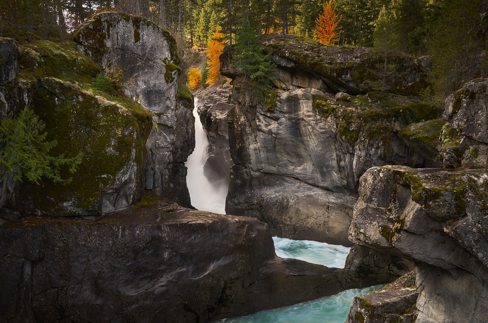
Pemberton Creek Falls
British Columbia • 15 m
By Armen Suny · Last verified Jun 2026
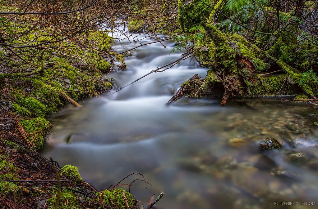
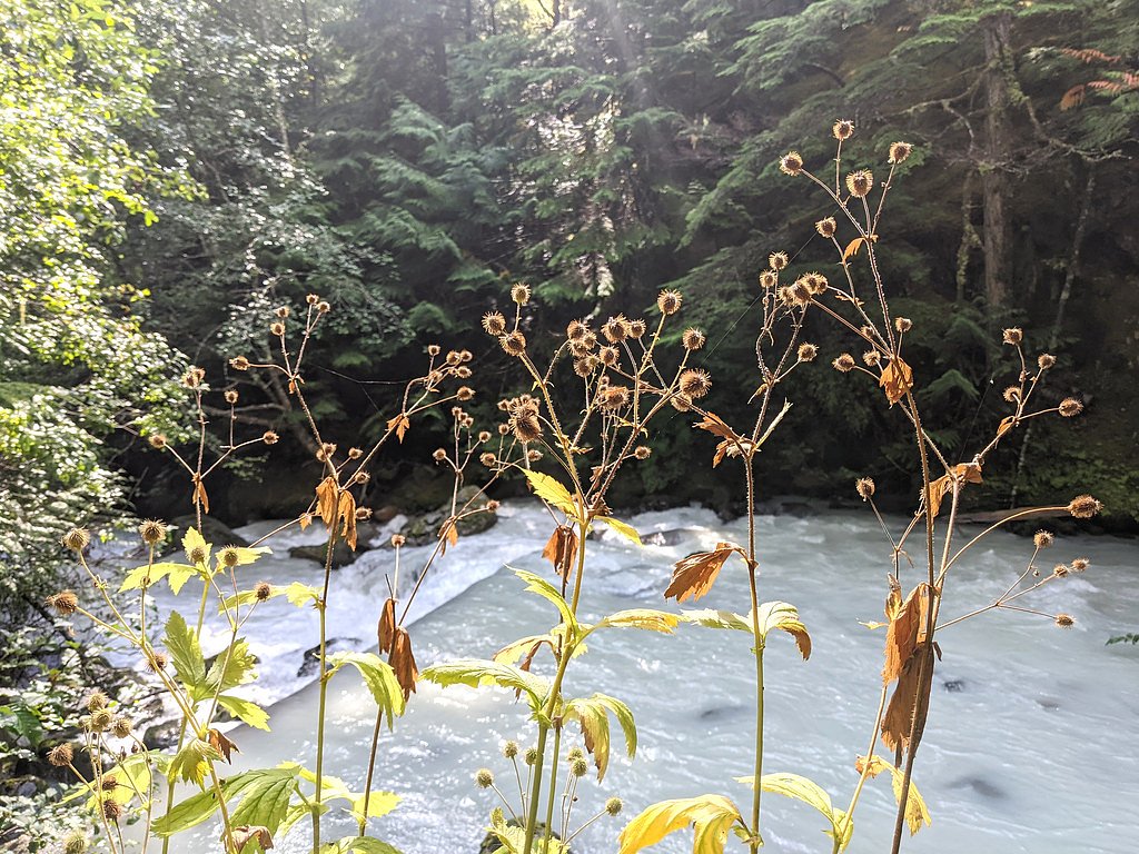
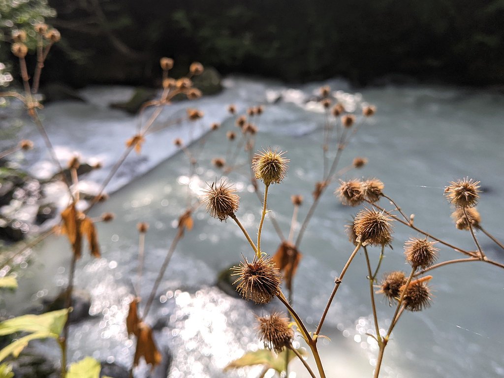
Photo Credits (5)
Difficulty
Moderate
Trail Length
1.6 km
Trail Type
Out And Back
About Pemberton Creek Falls
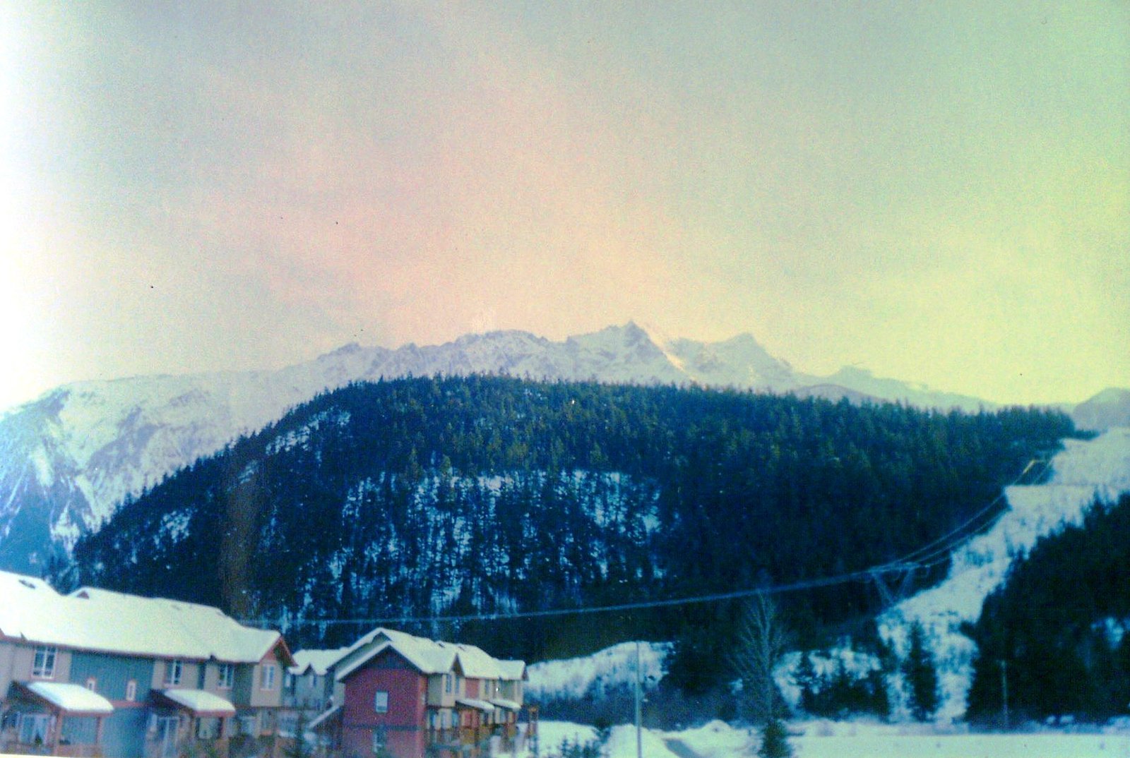
Pemberton Creek Falls is a creek-fed cascade located in the Pemberton area of southwestern British Columbia (coordinates provided: 50.3201, -122.8214). The falls sit in forested, mountainous terrain near the town of Pemberton and are roughly 55 miles (about 55.3 miles) from Lillooet by road. The feature is typically described as a small-to-moderate cascade or series of drops on Pemberton Creek; exact measurements and formal park status are not well-documented in widely available sources. Access may be via short forest trails or informal roadside pullouts and may be unmarked.
The Setting
Pemberton Creek Falls sits at 446 metres in the foothills of British Columbia. The falls drop 15 metres.
Why This Waterfall Exists
Pemberton Creek Falls flows over Pemberton Diorite Complex, a hard intrusive rock layer deposited about 101-162 million years ago. These resistant rocks form a durable ledge that water cannot easily wear away, creating a 49-foot drop where softer material downstream has already eroded.
Nearby Falls Worth Visiting
Mystery Falls (100 m) lies 11.6 kilometres to the south. Also nearby: Nairn Falls (40 m, 3.5 km).
Trail & Hike Details
Trail Description
There is limited publicly available documentation describing a maintained, signed trail to Pemberton Creek Falls. Expect a short, sometimes steep or unmarked path from a roadside or small parking area, through mixed conifer forest and over uneven ground. Trails in this area may be muddy, have exposed roots, and cross small streams. Because authoritative trail descriptions vary or are sparse, plan for route-finding and minimal infrastructure.
What to Expect
The falls drop 15 metres over hard intrusive rock.
Accessibility
The trail is not wheelchair accessible. Uneven terrain and elevation changes require steady footing.
Frequently Asked Questions
🐶 Are Dogs Allowed at Pemberton Creek Falls?
❌ Dogs are not allowed
Are There Any Fees or Permits Required?
🆖 No fees required
🏊 Is There Swimming at Pemberton Creek Falls?
❌ Swimming is not allowed
When to Visit
Late spring through early summer for highest flows and scenic waterfalls; summer and early fall for more reliable access and drier trails. Winter visits may be hazardous due to ice, snow, and limited access.
Seasonal Access
The best time to visit is Spring, Summer, Fall, and Winter. Check with the managing park or local authority for current conditions.
Safety Information
Potential hazards include slippery rocks, steep and unstable banks near the falls, fast or cold water, flashier creek flows in spring or after heavy rain, limited cell coverage, and wildlife encounters. Visitors should stay back from cliff edges, avoid swimming near the lip or plunge pool without local knowledge of hazards, and prepare for changing weather. If accessing via logging or forestry roads, watch for heavy vehicles and obey signage.
Current Water Conditions
2.2 m³/s
Current discharge — how much water is flowing
Lower than usual for this time of year
Based on 37 years of record
2.05 m
Water depth at gauge
7-Day Discharge Trend
What does this mean for your visit?
Flow is lower than usual for this time of year.
About This Gauge
7-Day Flow Outlook
Based on the WSC gauge PEMBERTON CREEK NEAR PEMBERTON (1 km away).
Today
Moderate
2.4 m³/s
6/10Tomorrow
Moderate
2.5 m³/s
6/10Wed
Moderate
2.4 m³/s
6/10Thu
Moderate
2.4 m³/s
6/10Fri
Moderate
2.4 m³/s
6/10Sat
Moderate
2.5 m³/s
5/10Sun
Moderate
2.7 m³/s
5/10Best window: Today — moderate flow, cloudy (trip score 6/10).
Best time of year: this gauge typically runs highest from mid May to early August, peaking in June.
How we calculate this
This is a transparent outlook, not a precise forecast. We take the waterfall's current flow strength (how it ranks against its historical normal for today, from the nearest WSC stream gauge), carry that ranking forward along the gauge's seasonal curve, and nudge it for forecast rain. Confidence is highest for the next day or two and falls further out. Always check official conditions and your own judgment before visiting — high flows can be dangerous.
Know when to go.
Get a free email alert when waterfalls near Lillooet hit peak flow. We only send when conditions are worth the trip — no weekly newsletters, no spam.
Weather Forecast
Location & Access
Getting There
General access is from the Pemberton area (nearest settlement: Pemberton, BC). The coordinates (50.3201, -122.8214) give the approximate location; the trailhead or easiest access point may be reached from local backroads or short forestry/side roads off Highway 99 or nearby access roads. Exact directions and a maintained trailhead are not well documented; visitors should consult local maps, land managers, or recent trip reports before attempting access.
Get Directions on Google MapsParking
Parking is likely limited to informal pullouts or small gravel turnouts. There may not be an established parking lot, restroom, or other facilities. If accessing by logging/forest roads, park only where safe and legal and avoid blocking gates or driveways.
Elevation
446 metres above sea level
Coordinates
50.320072° N, -122.821408° W
Visitor Tips & Gear
• Confirm current access and road conditions with local sources (Pemberton visitor centre, local land manager, or updated trip reports) before travelling. • Wear sturdy, waterproof footwear and expect muddy/uneven footing. • Bring a map and GPS; do not rely solely on cell reception. • Respect private property and posted closures; many access roads in the region are on mixed-use forestry land. • Leave no trace: pack out all trash and avoid disturbing vegetation or wildlife. • If visiting in bear country, carry bear spray and know how to use it; keep dogs under control. • Avoid standing on wet, mossy rocks near the lip or plunge pool; falls can have undercut ledges and strong currents.
Where to Stay
Browse vacation cabins and private rentals nearby
Unique outdoor stays — tents, yurts, and treehouses
Rent a campervan or RV for your waterfall road trip
Some links are affiliate links. We may earn a commission at no extra cost to you.
Nearby Campground
Nairn Falls Campground
2.7 km away
Additional Information
Nearby Attractions
Town of Pemberton (services), Nairn Falls Provincial Park (north of Pemberton), Joffre Lakes Provincial Park (popular alpine lakes and hikes in the Pemberton area), scenic drives along Highway 99 (Duffey Lake Road toward Lillooet).
Wildlife
Black bears, cougars, deer, small mammals (squirrels, martens), a variety of forest birds, and mosquitoes/blackflies in spring/summer.
Cities near Pemberton Creek Falls
Nearby Waterfalls
Writing about Pemberton Creek Falls? Embed this waterfall on your site for free.