Photo Credits (1)
Difficulty
Moderate
Trail Length
1.1 km
Trail Type
Out And Back
Elevation Gain
85 m
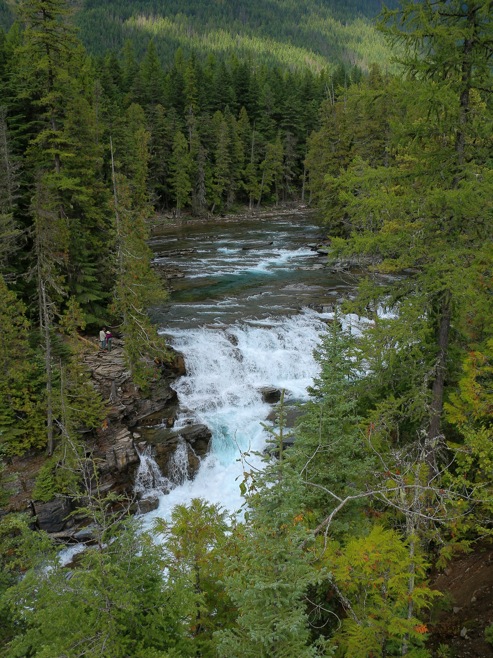
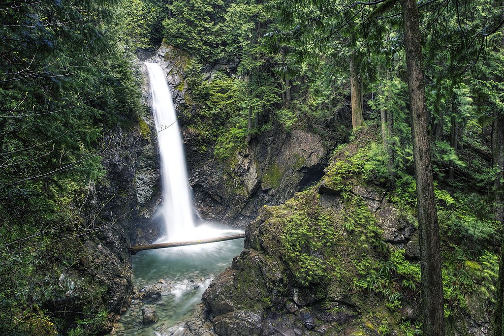
About McDonald Falls
McDonald Falls is a small river cascade located in the vicinity north of Abbotsford and south of Chilliwack in the Sumas/Vedder area of British Columbia (approx. coordinates 49.2967, -122.2338). Reports suggest it is a forested, relatively modest waterfall rather than a large, multi-tiered scenic attraction. Flow and accessibility are likely seasonal, with higher volume in spring snowmelt and after heavy rain. Precise published information about formal trails, parking, and ownership is limited; access may be along informal or resource roads and could cross private land.
The Setting
McDonald Falls sits at 279 metres within DAVIS LAKE PARK, in the foothills of British Columbia. The falls drop 25 metres.
Why This Waterfall Exists
McDonald Falls flows over hard intrusive rock laid down about 145-162 million years ago. These resistant rocks form a durable ledge that water cannot easily wear away, creating a 82-foot drop where softer material downstream has already eroded.
Nearby Falls Worth Visiting
Thunder Falls (100 m) lies 8.5 kilometres to the north. Also nearby: Cascade Falls (30 m, 2.9 km) and Cascade Falls Natural Waterslide (30 m, 3.1 km).
Trail & Hike Details
The Approach
The moderate 1.1-km out-and-back trail gains 85 metres of elevation on the way to the falls.
Trail Description
There is limited authoritative trail information for McDonald Falls. Access appears to be via unmarked or lightly used tracks through mixed forest and riparian zones, potentially involving short bushwhacks or following an old service/forestry road. Trails may be faint, muddy, and uneven; route-finding skills and a GPS with the coordinates are recommended. Expect no maintained boardwalks, signage, or official viewpoints.
What to Expect
The falls cascade 25 metres over hard intrusive rock.
Accessibility
The trail is not wheelchair accessible. Uneven terrain and elevation changes require steady footing.
Frequently Asked Questions
🐶 Are Dogs Allowed at McDonald Falls?
❌ Dogs are not allowed
Are There Any Fees or Permits Required?
🆖 No fees required
🏊 Is There Swimming at McDonald Falls?
❌ Swimming is not allowed
When to Visit
Spring and early summer for the fullest water flow and more impressive viewing. Fall can also produce good flows after rain. Summer (late) may have lower water levels but better trail conditions. Winter visits can be wet, cold, and muddy and may involve seasonal closures or hazardous conditions.
Seasonal Access
The best time to visit is Spring, Summer, Fall, and Winter. Check with the managing park or local authority for current conditions.
Safety Information
Hazards may include slippery rocks, steep or unstable banks, high and cold water flow during spring or after storms, limited cell reception, and potential private property or active forestry operations. Always check local conditions, avoid risky crossings, wear appropriate footwear, and do not approach the edge of the falls. If unsure about land access, contact local land management or municipal authorities to verify permission.
7-Day Flow Outlook
Based on the WSC gauge FRASER RIVER AT MISSION (19 km away).
Best time of year: this gauge typically runs highest from early May to early August, peaking in June.
How we calculate this
This is a transparent outlook, not a precise forecast. We take the waterfall's current flow strength (how it ranks against its historical normal for today, from the nearest WSC stream gauge), carry that ranking forward along the gauge's seasonal curve, and nudge it for forecast rain. Confidence is highest for the next day or two and falls further out. Always check official conditions and your own judgment before visiting — high flows can be dangerous.
Know when to go.
Get a free email alert when waterfalls near Abbotsford hit peak flow. We only send when conditions are worth the trip — no weekly newsletters, no spam.
Weather Forecast
Location & Access
Getting There
The waterfall is approximately 15–19 miles from nearby communities (Abbotsford ~14.9 miles, Sumas ~16.2 miles, Chilliwack ~18.4 miles). Use the provided coordinates (49.2967, -122.2338) with a GPS mapping app to locate it. Expect forest roads, logging roads, or short unmarked footpaths in the final approach. Confirm access with local land management or mapping resources before visiting.
Get Directions on Google MapsParking
No confirmed formal parking lot. Parking may be roadside or at an informal pullout; if using a logging road or rural access point, park well clear of gates or driveways and avoid blocking forestry operations. On-site facilities are unlikely.
Elevation
279 metres above sea level
Coordinates
49.296700° N, -122.233832° W
Land Management
Managed by Government of British Columbia
Visitor Tips & Gear
1) Use the exact coordinates and a reliable GPS or mapping app. 2) Respect private property, much land in the region is privately owned or managed for forestry; confirm access before crossing fences or gates. 3) Wear sturdy, waterproof footwear and be prepared for muddy, slippery terrain. 4) Avoid getting on wet rocks near the falls, they can be very slippery. 5) Bring a compact first-aid kit and tell someone your route/expected return time. 6) Pack out all trash. 7) Check local forestry or park notices for road closures or active logging.
As an Amazon Associate, we earn from qualifying purchases.
With 1.1 km and 85 m of elevation gain, sturdy boots and trekking poles will help on this moderate trail. Icy conditions are common in winter — traction cleats are a smart addition.

Columbia Watertight II Rain Jacket
Packs into its own pocket, seam-sealed, and keeps you dry from spray and surprise rain.

Polarized Sunglasses (Knockaround)
Cuts glare off the water so you actually see the falls — and your photos turn out better too.

Earth Pak Waterproof Dry Bag
Keeps your phone and gear dry when waterfall mist soaks everything else.

Waterproof Phone Pouch (AiRunTech)
Cheap insurance — take photos right next to the falls without killing your phone.

Timberland Euro Sprint Mid Waterproof
Trusted waterproof boot with premium leather and grippy rubber sole — reliable on rocky, wet trails.

TrailBuddy Trekking Poles
Lightweight aluminum, cork grips, and flip-locks that actually hold — a best-seller for good reason.
Where to Stay
Browse vacation cabins and private rentals nearby
Unique outdoor stays — tents, yurts, and treehouses
Rent a campervan or RV for your waterfall road trip
Some links are affiliate links. We may earn a commission at no extra cost to you.
Nearby Campground
Stave Island Dispersed Site
5.6 km away
Nearby Hot Springs
Hot springs near Abbotsford, British Columbia
Dorr Fumarole Field
Dorr Fumarole Field reaches 194 degrees at 8,168 feet elevation on Mount Baker's active volcanic slopes, producing superheated ...

Sherman Crater Fumaroles
Sherman Crater Fumaroles register 266 degrees Fahrenheit at 9,463 feet elevation within the active volcanic crater atop Mount B...
Baker Hot Spring
Baker Hot Spring emerges at 108 degrees Fahrenheit on US Forest Service land in Mt. Baker National Forest, flowing 59.5 degrees...
Looking for a soak after your hike? Explore more hot springs near Abbotsford, British Columbia on SoakingSprings.
Explore British Columbia springsAdditional Information
Nearby Attractions
Nearby communities include Abbotsford, Sumas, and Chilliwack. The general region has rivers and outdoor recreation opportunities such as the Vedder/Chilliwack River, local hiking trails, and regional parks, confirm exact distances and accessibility locally.
Wildlife
Typical Lower Mainland/Fraser Valley wildlife may be present: black bears, deer, coyotes, cougars (rare), small mammals, and various waterfowl and songbirds. Take standard wildlife precautions and store food securely.
Cities near McDonald Falls
Nearby Waterfalls

Other waterfalls named McDonald Falls
1 other waterfall shares this name across Canada.
Writing about McDonald Falls? Embed this waterfall on your site for free.