Granite Falls
British Columbia • Say Nuth Khaw Yum Park • 50 m
By Armen Suny · Last verified Jun 2026
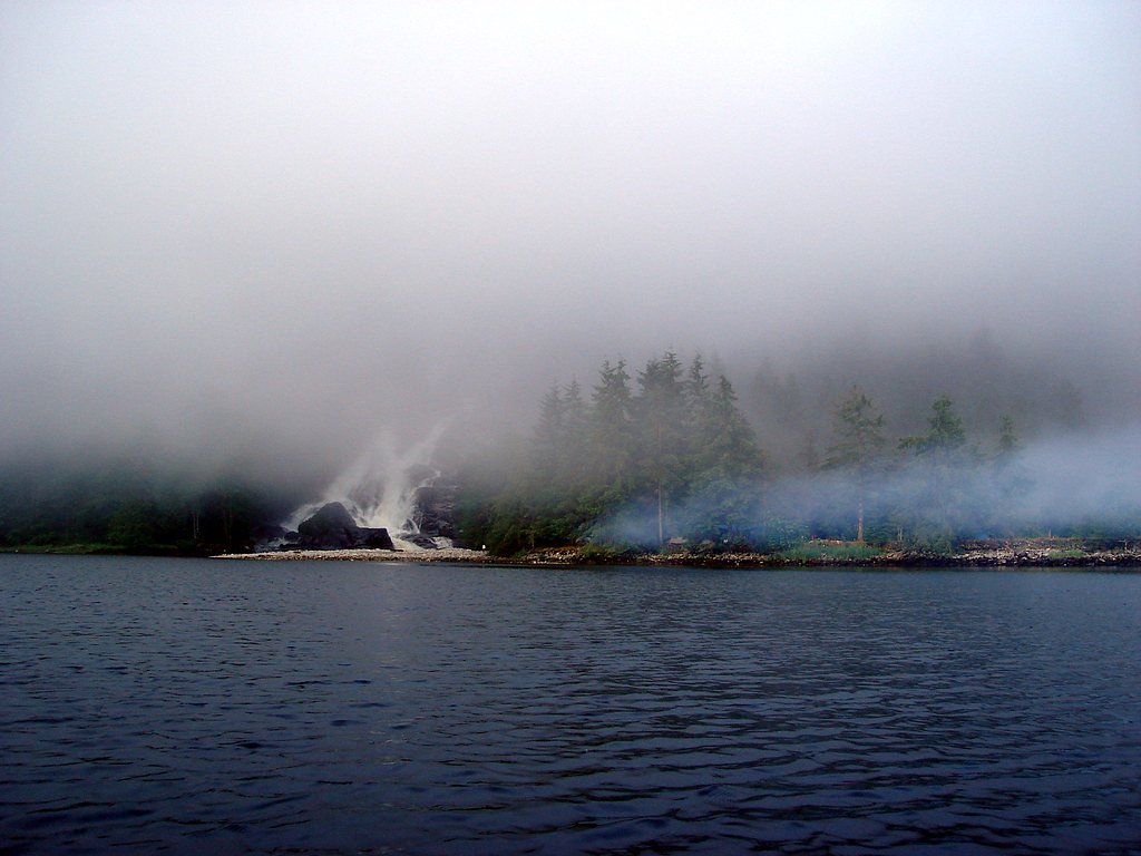
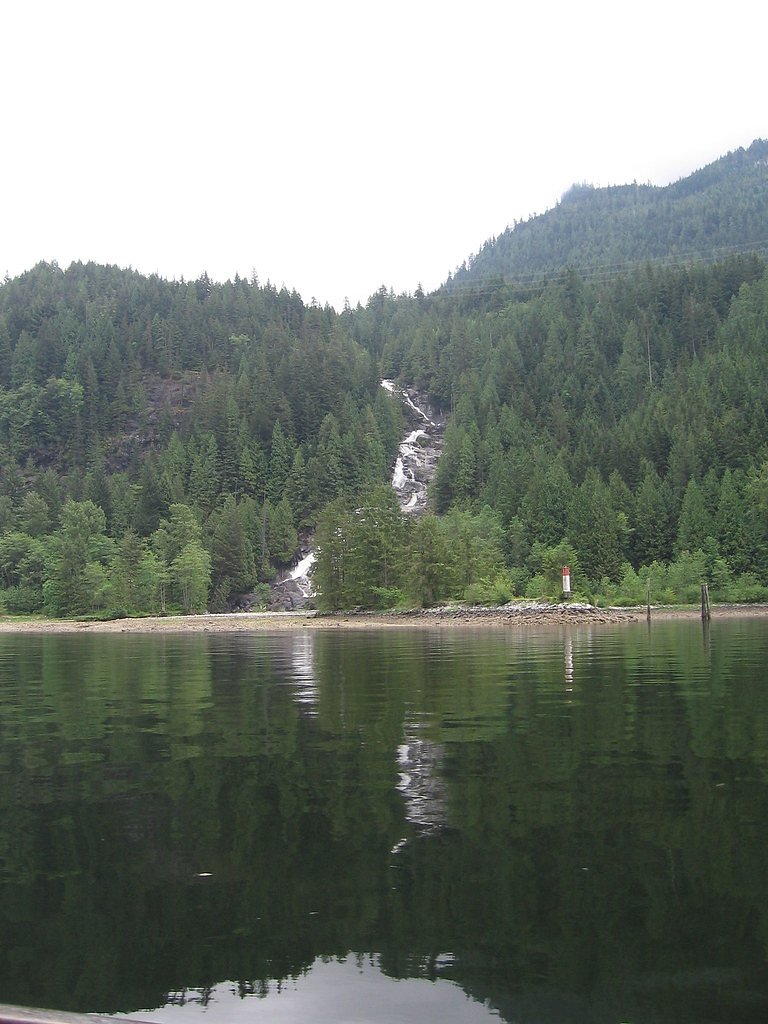
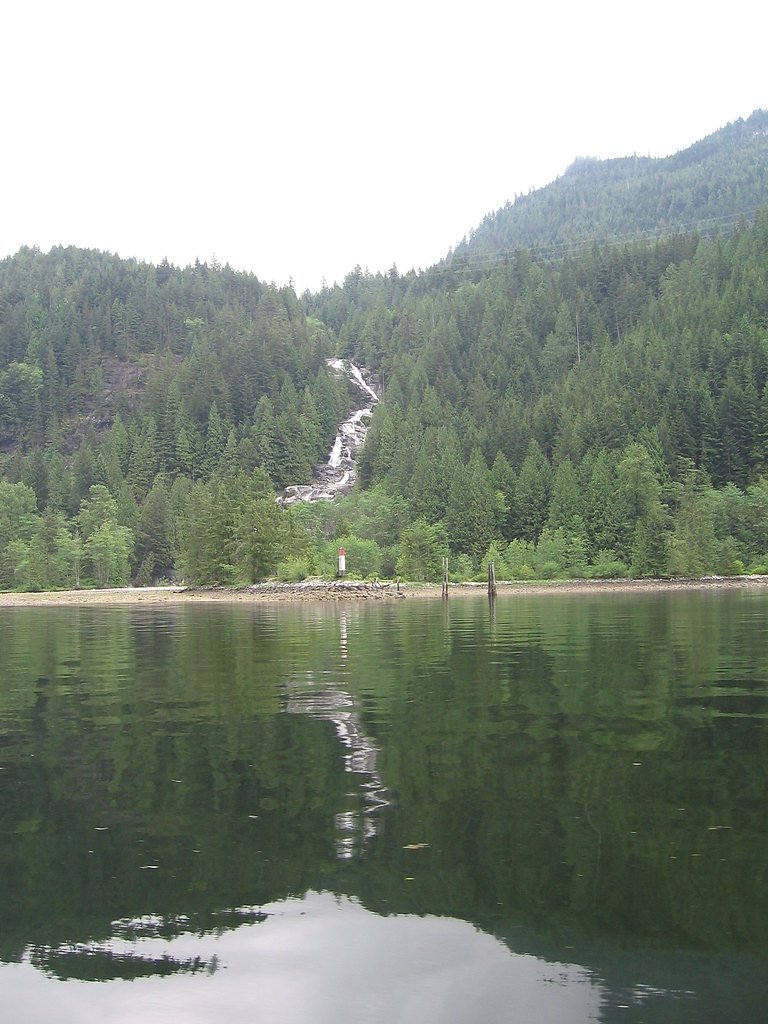
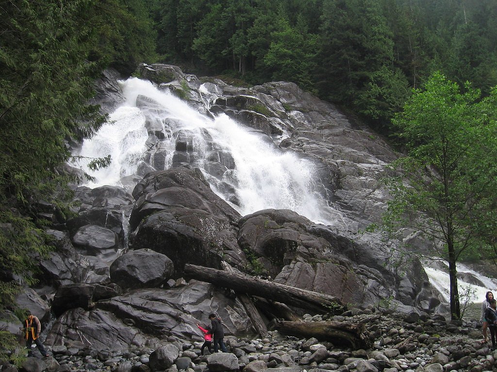
Photo Credits (5)
Difficulty
Moderate
Trail Type
Out And Back
About Granite Falls
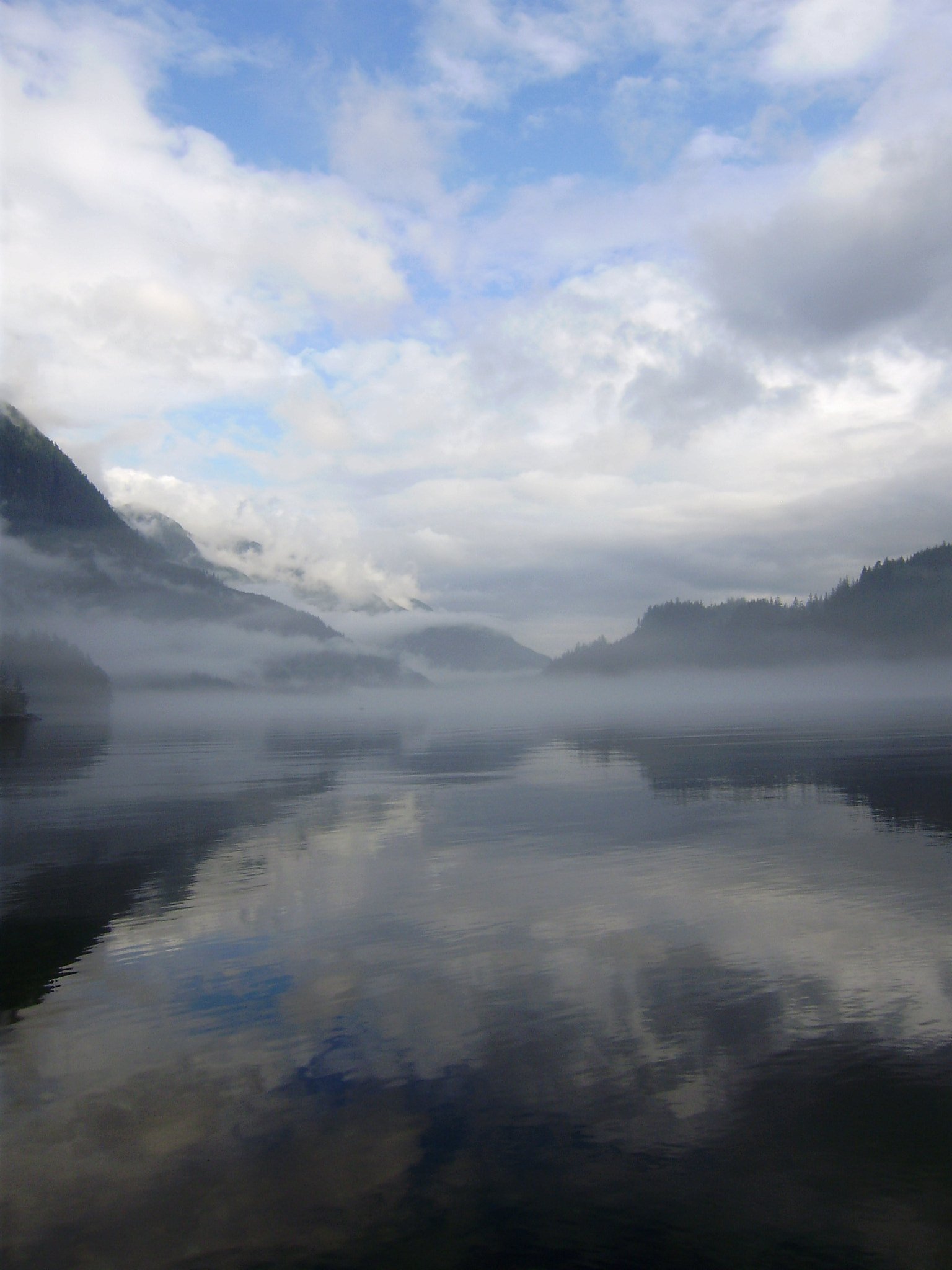
Granite Falls (coords 49.4501, -122.8603) is a rocky, likely seasonal waterfall in the Vancouver–Blaine–Birch Bay region. Specific published guidebook details for this named waterfall are limited; local reports suggest a waterfall on granite outcrops with stronger flow in spring snowmelt and after heavy rain. Exact height and official name usage may vary by map and local sources.
The Setting
Granite Falls sits at 39 metres within Say Nuth Khaw Yum Park, in the coastal lowlands of British Columbia. At 50 metres, it is among the taller waterfalls in British Columbia.
Why This Waterfall Exists
Granite Falls flows over hard intrusive rock laid down about 66-101 million years ago. These resistant rocks form a durable ledge that water cannot easily wear away, creating a 164-foot drop where softer material downstream has already eroded.
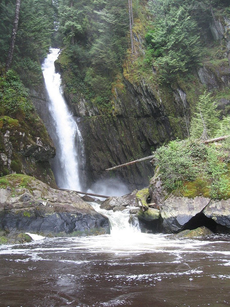
Nearby Falls Worth Visiting
Spray of Pearls Falls (60 m) lies 2.6 kilometres to the west. Also nearby: Russell Falls (25 m, 7.7 km).
Trail & Hike Details
Trail Description
Detailed, verified trail descriptions are not available from major trail guides for this exact feature. Based on general conditions for similar waterfalls in the region, trails (if present) may be unmarked, narrow, and could include steep or rocky sections, creek crossings, and muddy/slippery approaches. Hikers should be prepared for route-finding and variable footing; use a map/GPS and proceed cautiously if the path is not obvious.
What to Expect
The falls plunge 50 metres over hard intrusive rock.
Accessibility
The trail is not wheelchair accessible. Uneven terrain and elevation changes require steady footing.
Frequently Asked Questions
🐶 Are Dogs Allowed at Granite Falls?
❌ Dogs are not allowed
Are There Any Fees or Permits Required?
🆖 No fees required
🏊 Is There Swimming at Granite Falls?
❌ Swimming is not allowed
When to Visit
Spring for highest flows and full cascades; late spring through early summer often balances flow and access. Summer and early fall provide more predictable trail conditions but lower water flow. Visit early morning on weekends to avoid any local visitors.
Seasonal Access
The best time to visit is Spring, Summer, and Fall. Winter access may be limited. Check with Say Nuth Khaw Yum Park for current conditions.
Safety Information
Hazards may include slippery wet rock, steep or unstable slopes, fast-moving water after rain, and potential for sudden high flows. Cell coverage may be limited in some areas. Do not attempt to climb wet rock faces or stand directly under unstable ledges. If visiting in winter or early spring, expect icy trails and increased avalanche/mudslide risk in steep terrain, check current conditions and local advisories. Always tell someone your plan and expected return time.
Current Water Conditions
1.2 m³/s
Current discharge — how much water is flowing
Much lower than usual for this time of year
Based on 44 years of record
1.67 m
Water depth at gauge
7-Day Discharge Trend
What does this mean for your visit?
Flow is well below normal for this time of year, so the waterfall may be a trickle.
About This Gauge
7-Day Flow Outlook
Based on the WSC gauge COQUITLAM RIVER ABOVE COQUITLAM LAKE (6 km away).
Today
Barely Flowing
1.2 m³/s
4/10Tomorrow
Barely Flowing
1.1 m³/s
4/10Tue
Barely Flowing
1.1 m³/s
4/10Wed
Barely Flowing
1.0 m³/s
4/10Thu
Barely Flowing
1.0 m³/s
4/10Fri
Barely Flowing
0.9 m³/s
4/10Sat
Barely Flowing
1.1 m³/s
3/10Best window: Today — barely flowing flow, fog (trip score 4/10).
Best time of year: this gauge typically runs highest from mid April to early July, peaking in May.
How we calculate this
This is a transparent outlook, not a precise forecast. We take the waterfall's current flow strength (how it ranks against its historical normal for today, from the nearest WSC stream gauge), carry that ranking forward along the gauge's seasonal curve, and nudge it for forecast rain. Confidence is highest for the next day or two and falls further out. Always check official conditions and your own judgment before visiting — high flows can be dangerous.
Know when to go.
Get a free email alert when waterfalls near Vancouver hit peak flow. We only send when conditions are worth the trip — no weekly newsletters, no spam.
Weather Forecast
Location & Access
Getting There
The waterfall is located near coordinates 49.4501, -122.8603 (approximately 21.3 miles from Vancouver, 27.8 miles from Blaine WA, and 30.3 miles from Birch Bay WA). Access details are not well-documented in major guide sources; visitors should use the coordinates in a reliable mapping app or GPS and consult local trail resources or AllTrails for a current trailhead location and access notes. Expect to approach via local roads; exact route may require turning onto unpaved roads or using signed/unsigned trailheads.
Get Directions on Google MapsParking
Official parking information is not confirmed. There may be limited roadside or small trailhead parking; park legally and avoid blocking gates or private driveways. If parking is unclear, verify with local municipal or regional park information before visiting.
Elevation
39 metres above sea level
Coordinates
49.450134° N, -122.860260° W
Land Management
Managed by Government of British Columbia
Visitor Tips & Gear
• Use the provided coordinates and cross-check with AllTrails, local hiking groups, or regional park websites before you go. • Wear sturdy, waterproof footwear with good traction; approach rock surfaces cautiously. • Bring a map, GPS, and a charged phone; trails may be unmarked. • Park only in designated areas and respect private property, do not cut fences or cross clearly posted private land. • Avoid getting too close to cliff edges or slippery boulders, especially after rain. • Leave no trace: pack out all trash and avoid disturbing vegetation or wildlife.
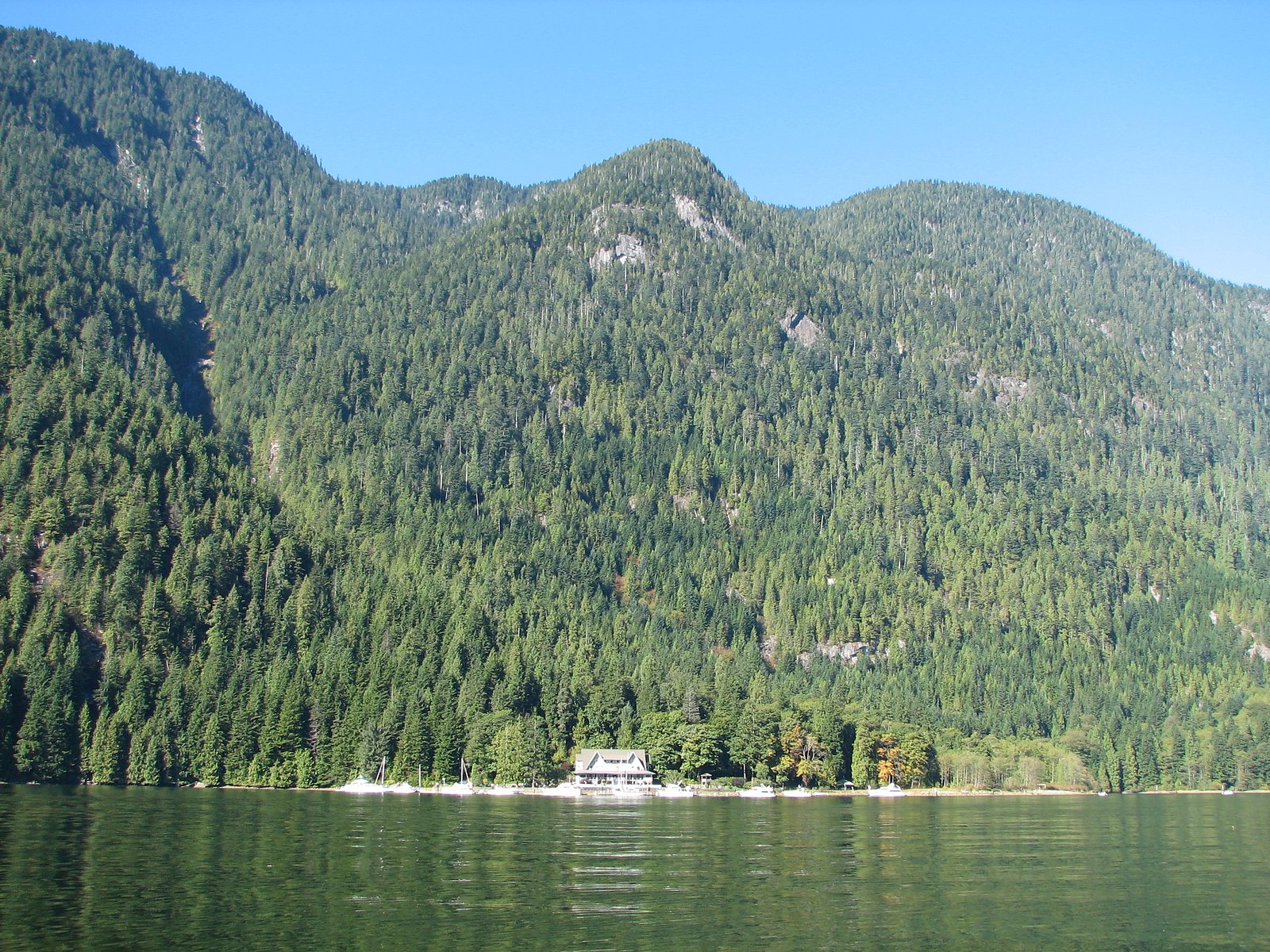
Where to Stay
Browse vacation cabins and private rentals nearby
Unique outdoor stays — tents, yurts, and treehouses
Rent a campervan or RV for your waterfall road trip
Some links are affiliate links. We may earn a commission at no extra cost to you.
Nearby Campground
Granite Falls Campsite
0.2 km away
Nearby Hot Springs
Hot springs near Vancouver, British Columbia
Dorr Fumarole Field
Dorr Fumarole Field reaches 194 degrees at 8,168 feet elevation on Mount Baker's active volcanic slopes, producing superheated ...

Sherman Crater Fumaroles
Sherman Crater Fumaroles register 266 degrees Fahrenheit at 9,463 feet elevation within the active volcanic crater atop Mount B...
Looking for a soak after your hike? Explore more hot springs near Vancouver, British Columbia on SoakingSprings.
Explore British Columbia springsAdditional Information
Nearby Attractions
Nearby urban and coastal attractions include the Greater Vancouver region and cross-border coastal areas toward Blaine and Birch Bay (WA). Check local regional parks and beaches for additional trails and viewpoints.
Wildlife
Regionally common wildlife may include deer, coyotes, raccoons, a variety of birds, and potentially black bears or cougars in more remote forested areas. Ticks can be present; take appropriate precautions.
Cities near Granite Falls
Nearby Waterfalls
Other waterfalls named Granite Falls
6 other waterfalls share this name across Canada.
Writing about Granite Falls? Embed this waterfall on your site for free.