Photo Credits (5)
Difficulty
Easy
Trail Length
1.9 km
Trail Type
Out And Back
Elevation Gain
15 m
About Deer Creek Falls
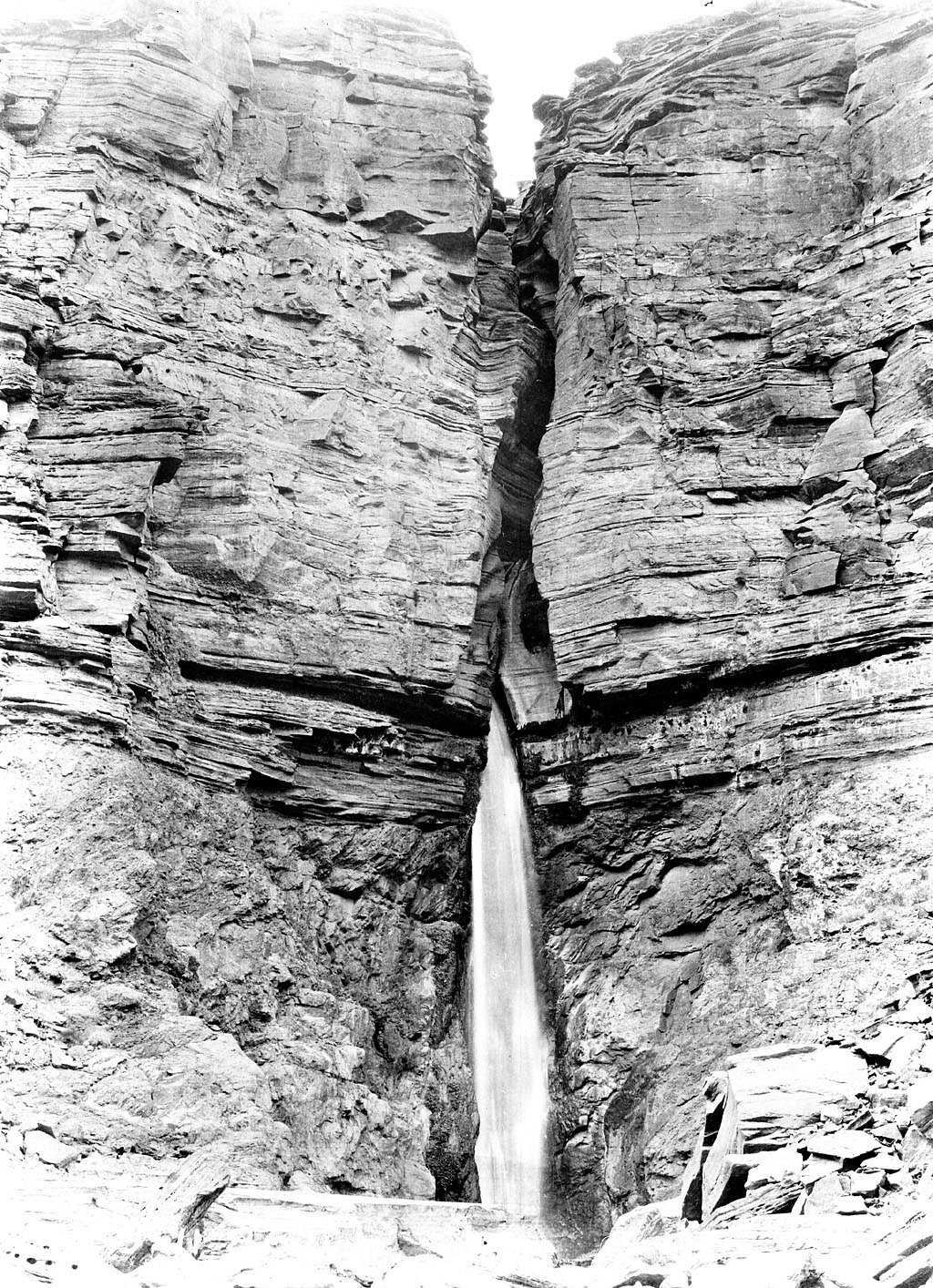
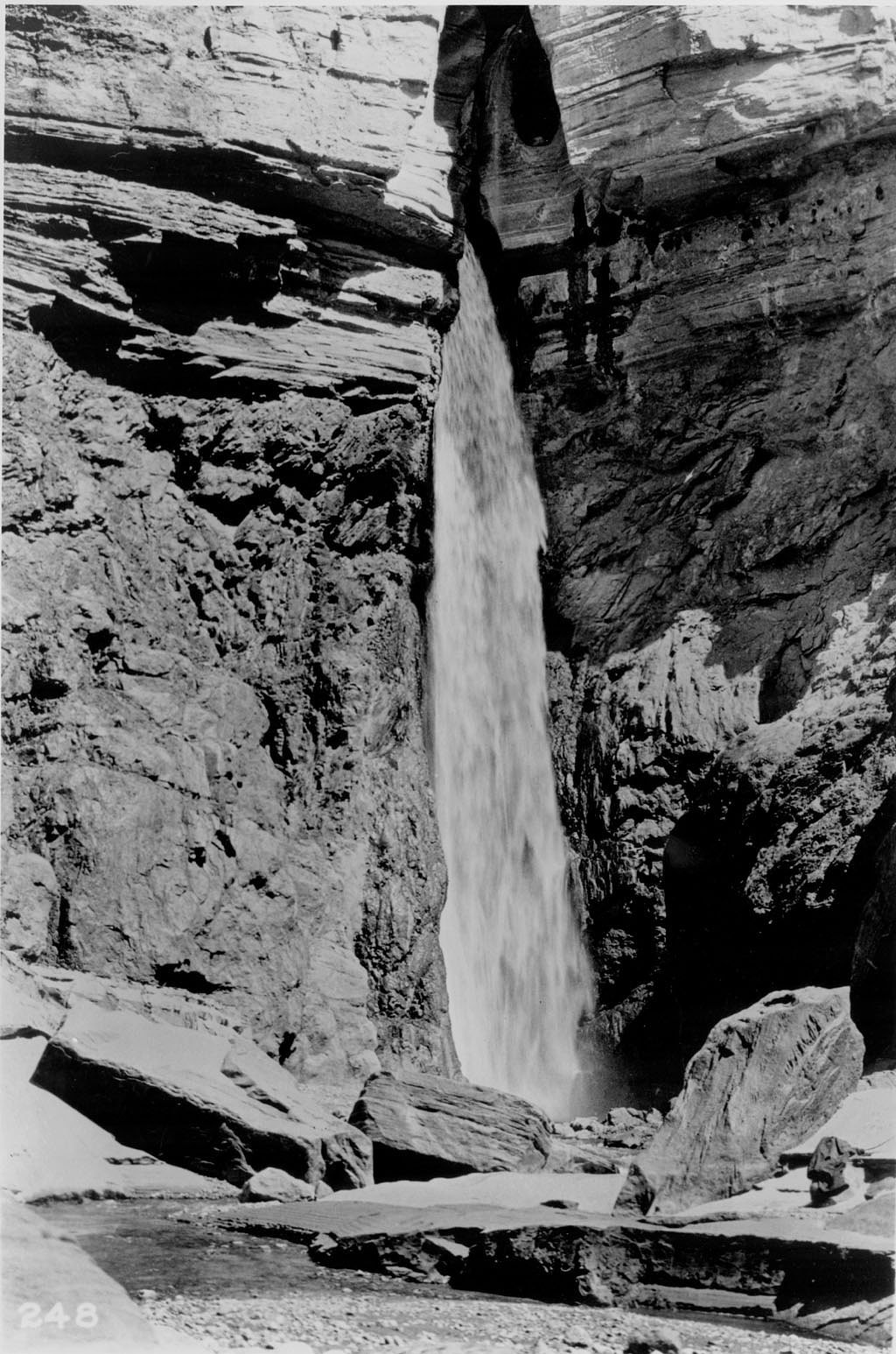
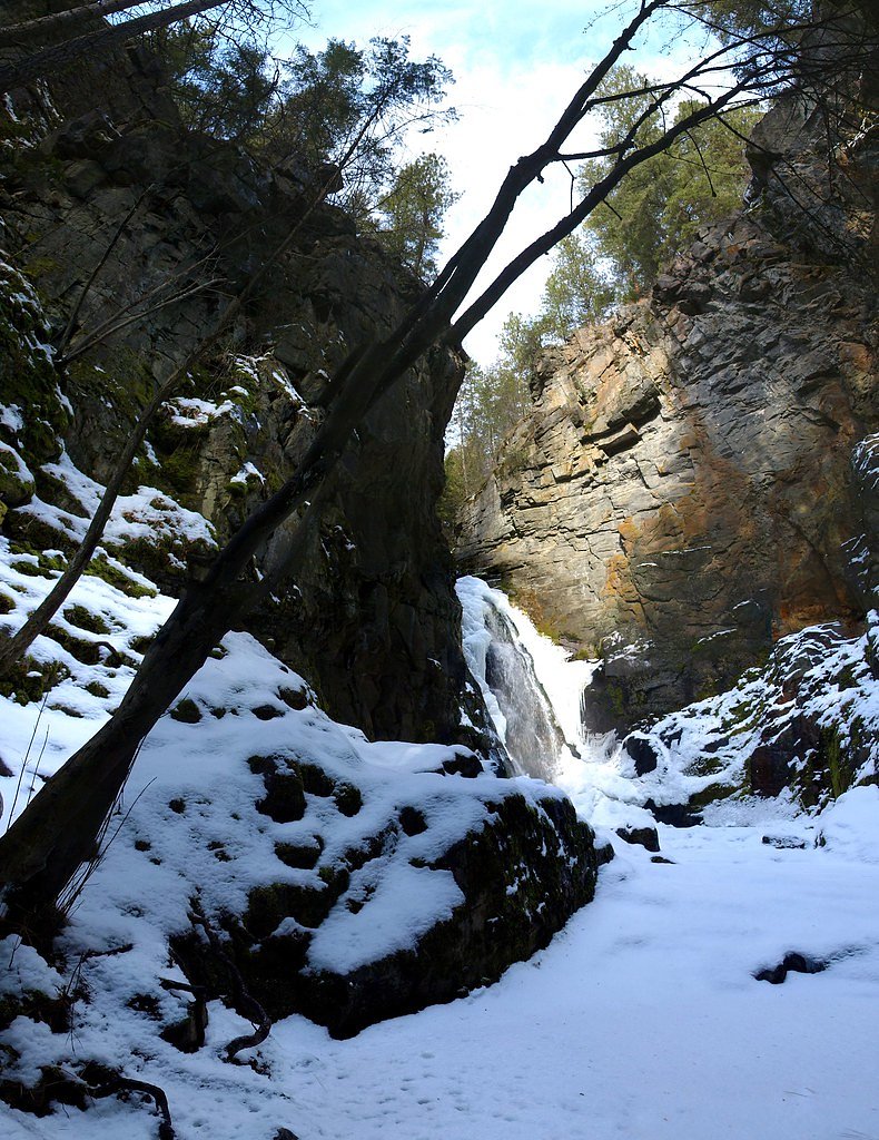
Deer Creek Falls (coords 49.4454, -118.0404) is a forested creek cascade in southeastern British Columbia. It appears as a series of small to medium drops through a wooded valley and is most impressive in spring and after heavy rain. Exact measured height is not confirmed for this site; falls may be best described as a cascade rather than a single tall plunge.
Why This Waterfall Exists
Deer Creek Falls flows over hard intrusive rock laid down about 23-66 million years ago. These resistant rocks form a durable ledge that water cannot easily wear away, creating the falls where softer material downstream has already eroded.
Trail & Hike Details
The Approach
The easy 1.9-km out-and-back trail gains 15 metres of elevation on the way to the falls.
Trail Description
There is no authoritative, widely published trail description available for this specific Deer Creek Falls location. Approaches to similar creek cascades in the region commonly involve a short unmaintained trail or social path from a roadside pullout or logging road. Trails may be uneven, muddy when wet, and can include short steep sections through forest. Signage, wayfinding, and infrastructure such as railings or viewing platforms may be absent.
What to Expect
Expect a woodland setting with conifer and mixed forest, a creek channel with a series of cascades, and seasonal variability in flow (highest in spring snowmelt and after heavy rain). Views of the falls may be partially obstructed by vegetation. There are likely no formal restrooms, benches, or interpretive signs. Cell service may be intermittent or absent in remote sections.
Accessibility
The trail is not wheelchair accessible. Uneven terrain and elevation changes require steady footing.
Frequently Asked Questions
🐶 Are Dogs Allowed at Deer Creek Falls?
❌ Dogs are not allowed
Are There Any Fees or Permits Required?
🆖 No fees required
🏊 Is There Swimming at Deer Creek Falls?
❌ Swimming is not allowed
When to Visit
Late spring (snowmelt) for highest flows and lush vegetation; early to mid-summer for more stable access and warmer weather; early fall for foliage color. Late summer may have reduced flow. Winter can create icy or hazardous conditions and access may be blocked by snow or closed gates.
Seasonal Access
The best time to visit is Spring, Summer, and Fall. Winter access may be limited. Check with the managing park or local authority for current conditions.
Safety Information
Hazards can include slippery rocks and wet trails, steep or unstable banks near the creek, seasonal high flows, variable road conditions (ruts, washouts), limited cell service, and wildlife encounters. In winter, ice and snow can make access dangerous; in spring, rapid runoff can increase currents. Always check road and weather conditions, tell someone your route and expected return time, and carry appropriate safety gear.
Current Water Conditions
0.4 m³/s
Current discharge — how much water is flowing
About average for this time of year
Based on 67 years of record
0.17 m
Water depth at gauge
7-Day Discharge Trend
What does this mean for your visit?
Flow is about average for this time of year.
About This Gauge
7-Day Flow Outlook
Based on the WSC gauge DEER CREEK AT DEER PARK (0 km away).
Today
Low
0.4 m³/s
6/10Tomorrow
Low
0.4 m³/s
5/10Tue
Low
0.4 m³/s
5/10Wed
Low
0.4 m³/s
5/10Thu
Moderate
0.4 m³/s
5/10Fri
Moderate
0.4 m³/s
5/10Sat
Moderate
0.3 m³/s
8/10Best window: Sat — moderate flow, mainly sunny (trip score 8/10).
Best time of year: this gauge typically runs highest from mid April to mid July, peaking in June.
How we calculate this
This is a transparent outlook, not a precise forecast. We take the waterfall's current flow strength (how it ranks against its historical normal for today, from the nearest WSC stream gauge), carry that ranking forward along the gauge's seasonal curve, and nudge it for forecast rain. Confidence is highest for the next day or two and falls further out. Always check official conditions and your own judgment before visiting — high flows can be dangerous.
Know when to go.
Get a free email alert when waterfalls near Nelson hit peak flow. We only send when conditions are worth the trip — no weekly newsletters, no spam.
Weather Forecast
Location & Access
Getting There
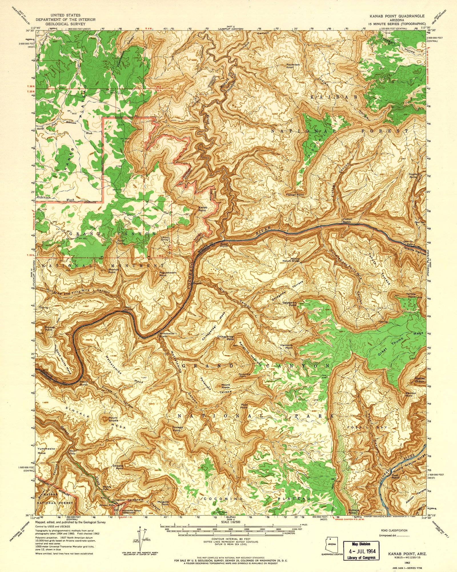
The falls are located in the Boundary/Kootenay region of southeastern British Columbia, approximately 34 miles (about 55 km) from Nelson, BC (user-provided distance). Access is typically via secondary/forestry roads off the nearest highway (likely Highway 3 or local spur roads). The last section of road may be unpaved and rough; high-clearance or 4x4 vehicles may be advisable. Exact turn-by-turn directions and gated road status are not confirmed, check local maps or the regional district/forest service before travel.
Get Directions on Google MapsParking
There may be limited roadside parking or a small informal pullout near a trail or logging road; no formal developed parking lot or facilities are confirmed. Park legally without blocking gates or driveways. If in doubt, park at a designated trailhead or nearby public pullout.
Elevation
670 metres above sea level
Coordinates
49.445355° N, -118.040385° W
Visitor Tips & Gear
• Confirm route and road condition with local forest service, regional district, or recent trip reports before you go. • Use a high-clearance vehicle for rough forestry roads and avoid low-clearance cars, particularly after rain. • Wear sturdy footwear; trails and rocks around the creek can be slippery. • Leave no trace: pack out all garbage and avoid disturbing sensitive riparian vegetation. • Respect private property and posted signage, do not cross fences or enter marked private land. • Be prepared for limited or no cell service; carry an offline map or GPS. • Check for seasonal road closures or logging activity which can change access quickly.
As an Amazon Associate, we earn from qualifying purchases.
This easy 1.9 km hike is straightforward — comfortable trail shoes and plenty of water should do. Sun exposure on the trail makes good sun protection a must in summer.

Polarized Sunglasses (Knockaround)
Cuts glare off the water so you actually see the falls — and your photos turn out better too.

Columbia Watertight II Rain Jacket
Packs into its own pocket, seam-sealed, and keeps you dry from spray and surprise rain.

Earth Pak Waterproof Dry Bag
Keeps your phone and gear dry when waterfall mist soaks everything else.

Waterproof Phone Pouch (AiRunTech)
Cheap insurance — take photos right next to the falls without killing your phone.

JOBY GorillaPod Starter Kit
Wraps around railings and rocks for long-exposure waterfall shots — no flat surface needed.

Osprey Daylite Daypack
Light, organized, and just the right size for a day hike — fits water, snacks, and layers.
Where to Stay
Browse vacation cabins and private rentals nearby
Unique outdoor stays — tents, yurts, and treehouses
Rent a campervan or RV for your waterfall road trip
Some links are affiliate links. We may earn a commission at no extra cost to you.
Nearby Campground
Bowman Point Recreation Site
12.3 km away
Additional Information
Nearby Attractions
Nearby regional attractions may include the city of Nelson (arts/community amenities), Kootenay Lake, provincial parks and other backcountry recreation opportunities in the Boundary and Kootenay region. Confirm local attractions and distances before travel.
Wildlife
Typical regional wildlife may include black bear, deer, small mammals (squirrels, martens), and numerous bird species. Standard wildlife precautions are recommended (store food securely, give animals space).
Cities near Deer Creek Falls
Nearby Waterfalls
Other waterfalls named Deer Creek Falls
3 other waterfalls share this name across Canada.
Writing about Deer Creek Falls? Embed this waterfall on your site for free.