
Photo Credits (5)
Difficulty
Easy
Trail Length
1.0 miles
Trail Type
Out And Back
About Deer Creek Falls
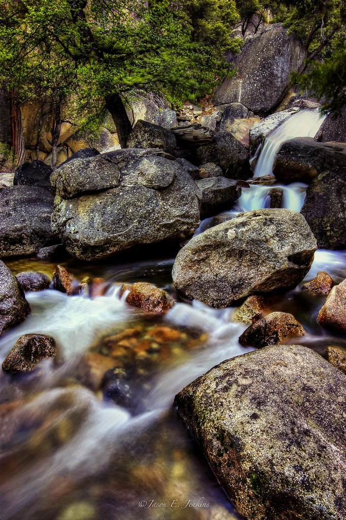
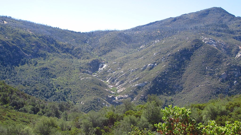
Deer Creek Falls sits tucked into the pine-and-fir forests of Northern California, within Lassen National Forest and managed by the U.S. Forest Service. The falls offer a peaceful, photogenic cascade framed by forested slopes — an appealing short escape for hikers, families, and anyone looking for a quiet stretch of trail. Reaching the falls is a rewarding outing rather than a long expedition: the approach is an out-and-back roughly 2.4 miles round-trip with about 350 feet of elevation gain and a moderate difficulty rating. Access to the scenic viewpoint uses a short USFS-designated approach—EDNA'S TRAIL (Trail #721)—and the route moves from gentle forest walking into steeper, native-tread sections as you near the creek. Because portions of the route have sustained grades and natural surface, sturdy footwear and steady footing make the hike more comfortable. Managed by the U.S. Forest Service within Lassen National Forest, Deer Creek Falls is an inviting half-day hike for those who want a close, forested waterfall without a long backcountry commitment.
The Setting
Deer Creek Falls sits at 3,638 feet within Lassen National Forest, in the mountains of California.
Trail & Hike Details
The Approach
The easy hike follows Edna's Trail (#721), a 1.0-mile out-and-back trail over natural surface. The trail is moderately developed (Class 2).
USFS Trail
EDNA'S TRAIL #721
Trail Class
Moderately Developed
Surface
Avg Grade
USFS Segment
0.38 miTrail Description
Trail type: out-and-back. Total length: 2.4 miles (round-trip). Elevation gain: ~350 feet. Difficulty: moderate. USFS information: EDNA'S TRAIL (Trail #721) is the official Forest Service segment on the approach; the trail has a GIS-recorded length of 0.38 miles for that designated segment. Surface: native material (soil, roots, rock). Class: 2. Typical grade: 12–20%, so expect some sustained, steeper pitches. The overall tread is non-technical but uneven in places—rooted and rocky in spots—so use sturdy footwear and watch your footing on the steeper grades.
What to Expect
Dogs are welcome.
Accessibility
The trail is not wheelchair accessible. Uneven terrain and elevation changes require steady footing.
Frequently Asked Questions
🐶 Are Dogs Allowed at Deer Creek Falls?
✅ Dogs are allowed
Are There Any Fees or Permits Required?
🆖 No fees required
🏊 Is There Swimming at Deer Creek Falls?
❌ Swimming is not allowed
When to Visit
Spring is the best time to visit, as the waterfall is typically at its fullest due to snowmelt. Summer and fall are also good options, but water flow may be reduced during these seasons.
Seasonal Access
The best time to visit is Spring, Summer, and Fall. Winter access may be limited. Check with Lassen National Forest for seasonal road closures.
Safety Information
Be cautious of slippery rocks near the waterfall and stay on designated trails to avoid accidents. Check weather conditions before visiting, as heavy rain can make the trail muddy and hazardous.
Know when to go.
Get a free email alert when waterfalls near Mineral hit peak flow. We only send when conditions are worth the trip — no weekly newsletters, no spam.
Weather Forecast
The Terrain, Seen by LiDAR
Aircraft-mounted lasers measured this ground to within inches. Trees and buildings are digitally stripped away, leaving the bare shape of the land the water has carved.
1-meter lidar shows the creek losing roughly 109 feet through Deer Creek Falls over a long run of ledges. Elevation at the pin is about 3,641 feet.
The whole reach is steep: about 155 feet of descent in the 500 feet above the falls and another 137 feet in the 500 feet below. The falls face southeast and catch soft morning light.
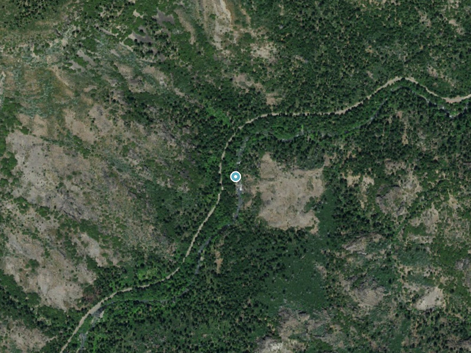
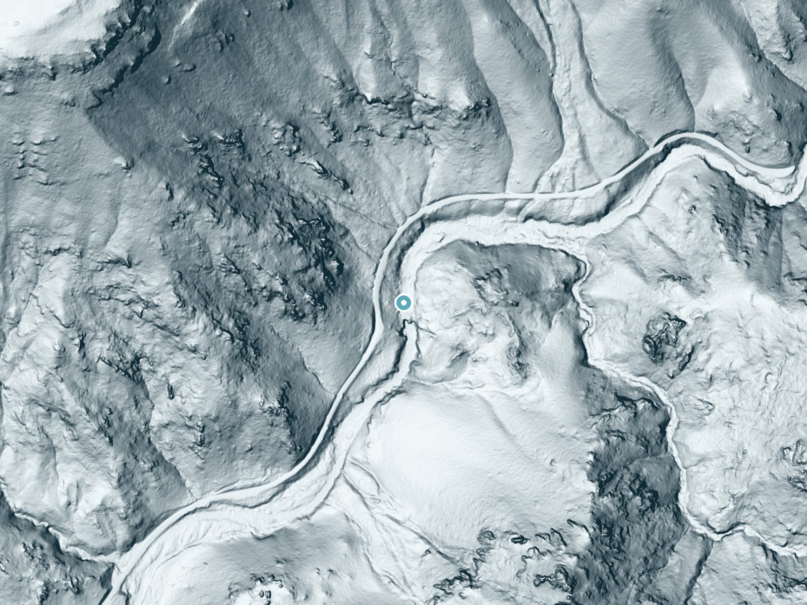
Drag to compare. The dot marks the waterfall. The frame is about a mile across.
- Ground elevation
- 3,641 feet
- Measured by 1-meter lidar
- Drop at the falls
- About 109 feet
- Change in ground height within ~250 feet of the falls
- Faces
- Southeast
- Catches soft morning light.
A slice through the lidar ground surface, from above the falls to downstream (heading southeast).
Elevation data: USGS 3D Elevation Program. Aerial imagery: USGS The National Map. Public domain.
Location & Access
Getting There
Deer Creek Falls is located off Highway 32 in Northern California, near the town of Chester. The falls can be accessed via a short drive from the highway, with signage marking the general area.
Get Directions on Google MapsParking
There is limited parking available near the trailhead or roadside pullouts along Highway 32. Visitors should plan to arrive early during peak seasons to secure a spot.
Elevation
3,638 feet above sea level
Coordinates
40.202381° N, -121.513309° W
Land Management
Managed by USFS
Visitor Tips & Gear
Arrive early to secure parking, especially during weekends and holidays. Bring water and wear sturdy shoes, as the trail may have uneven surfaces. Be cautious of slippery rocks near the waterfall.
Where to Stay

Antlers Inn

Village at Childs Meadow
The Black Forest Lodge
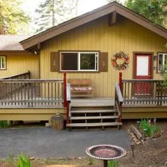
Cedar Ridge Retreat Lake Almanor
Browse vacation cabins and private rentals nearby
Unique outdoor stays — tents, yurts, and treehouses
Rent a campervan or RV for your waterfall road trip
Some links are affiliate links. We may earn a commission at no extra cost to you.
Nearby Campground
Butte Meadows Campground
8.9 miles away · 0 sites
Developed campground with 13 designated sites. Maximum of 8 people per site. Grills and tables provided.
Book on Recreation.govNearby Hot Springs
Hot springs near Chico, California
Morgan Hot Spring
Morgan Hot Spring erupts at an extreme 205°F in the northern Sierra Nevada, far too hot for human immersion but visually dramat...

Growler Hot Spring
Growler Hot Spring discharges at a spectacular 203 degrees Fahrenheit, the highest temperature in this survey and reflecting ex...

Bumpass Hell
Bumpass Hell reaches a boiling 199°F at Lassen Volcanic National Park's 8,017-foot summit zone, creating the park's largest and...

Sulphur Works, Tophet Hot Springs
Sulphur Works and Tophet Hot Springs emerge at a dramatic 199°F at 6,932 feet elevation within Lassen Volcanic National Park, o...

Mill Creek Springs
Mill Creek Springs flows at a spectacular 150°F within Lassen Volcanic National Park, making it one of California's hottest spr...

Devils Kitchen
Devils Kitchen erupts at 203°F within Lassen Volcanic National Park, requiring a challenging 1.6-mile hike to reach one of the ...
Looking for a soak after your hike? Explore more hot springs near Chico, California on SoakingSprings.
Explore California springsAdditional Information
Nearby Attractions
Lassen Volcanic National Park, Lake Almanor, and the town of Chester are nearby attractions worth exploring.
Wildlife
The area is home to various wildlife, including deer, birds, and small mammals. Visitors should be cautious and avoid feeding wildlife.
Cities near Deer Creek Falls
Nearby Waterfalls
Other waterfalls named Deer Creek Falls
3 other waterfalls share this name across the U.S.
Writing about Deer Creek Falls? Embed this waterfall on your site for free.