Photo Credits (5)
Difficulty
Easy
Trail Length
0.4 km
Trail Type
Out And Back
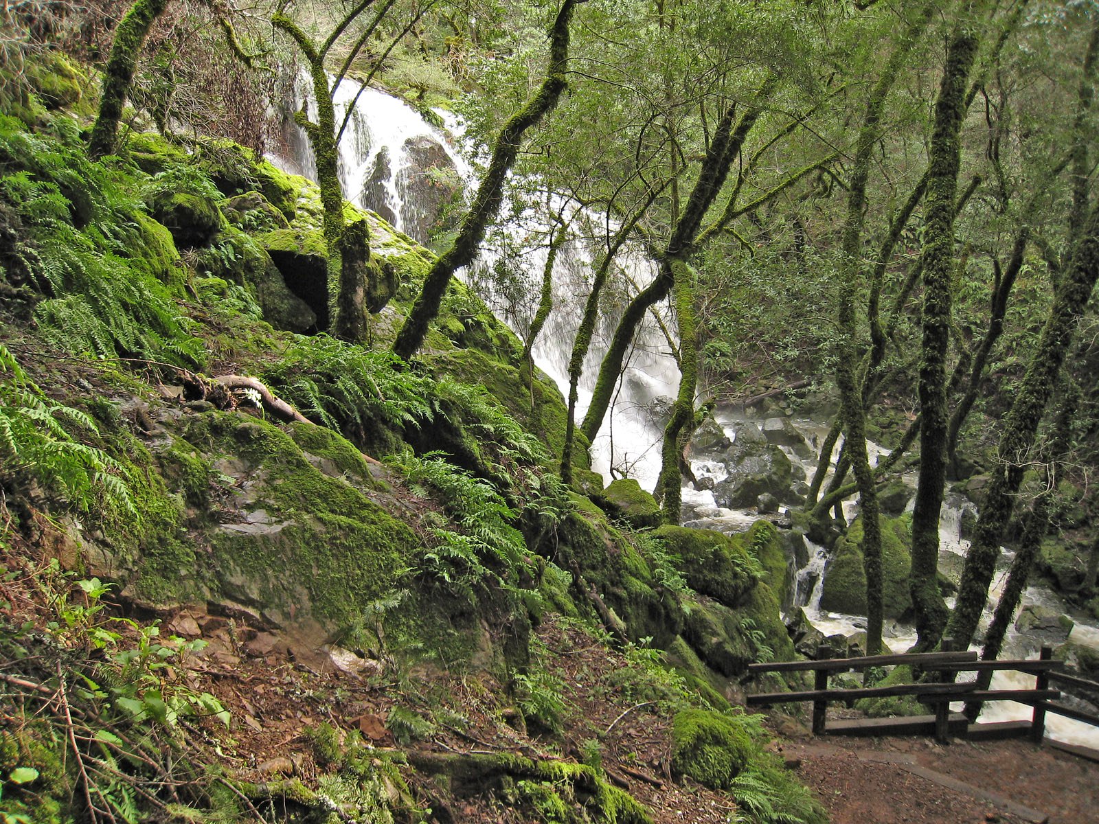
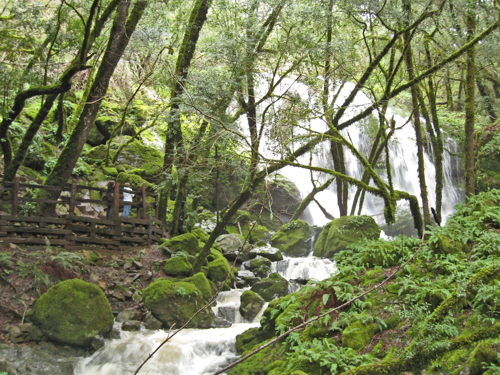
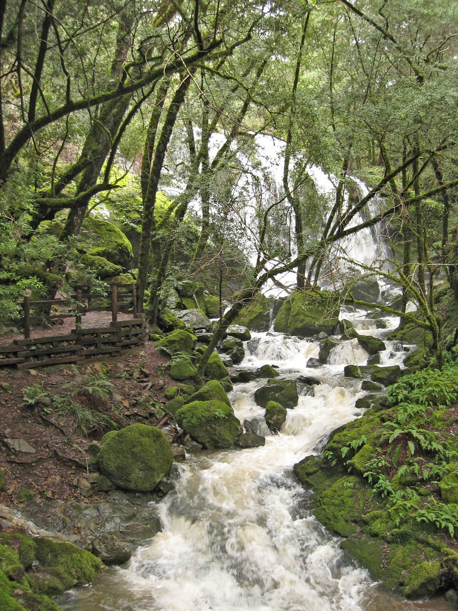
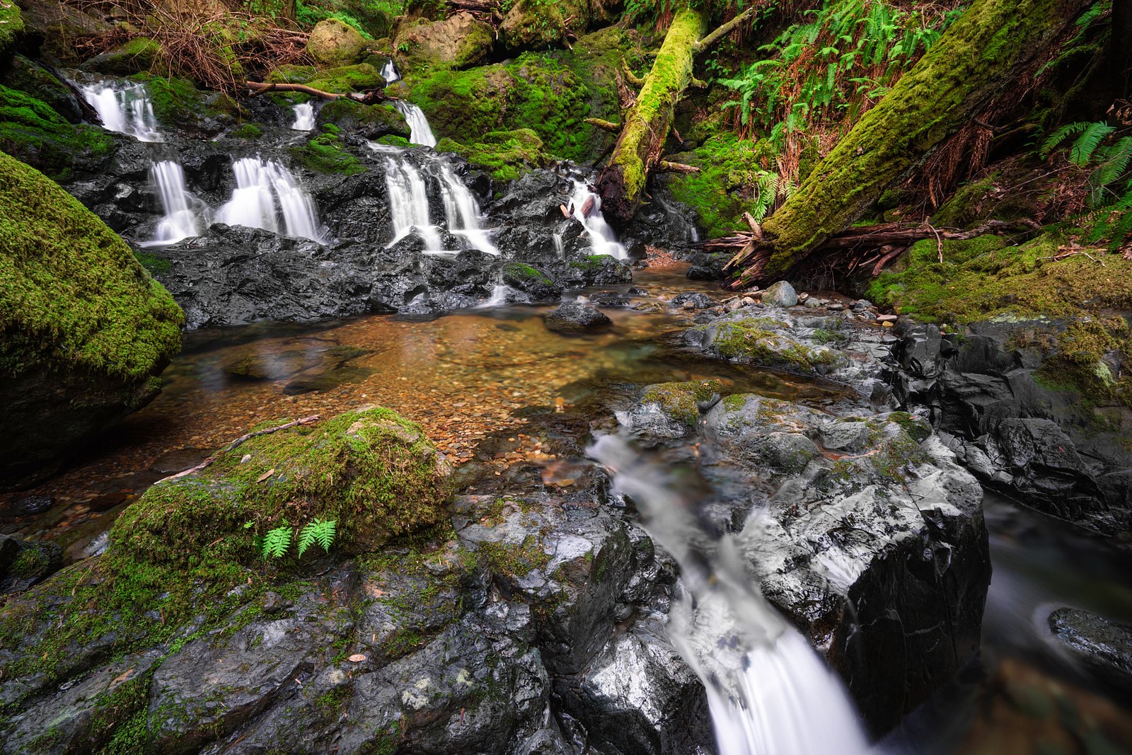
About Cataract Falls
Cataract Falls is a small riverine cascade in the Algoma region of Ontario, located near Thessalon (approx. 24.5 miles), De Tour Village (approx. 52.7 miles) and Little Current (approx. 58.4 miles). Coordinates: 46.2569, -82.9784. The falls are set in a mixed-wood forest and form part of a local stream/river system; flow and appearance are highly seasonal (typically highest in spring). Specific official information about the managed site is limited, so details below are conservative and may vary by season and current access conditions.
Why This Waterfall Exists
Cataract Falls flows over Elliot Lake Group, a angular fragment rock layer deposited over 2.3-2.5 billion years ago. These soft rocks erode readily, allowing the stream to carve a vertical drop into the landscape.
Nearby Falls Worth Visiting
Mississagi Falls (1 m) lies 7.4 kilometres to the southwest.
Trail & Hike Details
Trail Description
Visitors should expect an informal approach: a short walk from a roadside pullout over uneven, possibly root- and rock-covered terrain to reach the riverbank and viewing spots. The trail (if present) is likely unmarked and may require brief scrambling over rocks to reach good vantage points. Trails in this area are typically not maintained to park standards, exercise caution and be prepared for uneven ground and limited signage.
What to Expect
A modest cascade or series of small drops in a forested setting. Flow varies with season, high and more dramatic in spring runoff, lower in late summer and fall. Surrounding forest may include mixed hardwoods and conifers; expect natural, rugged shoreline and potentially slippery rock and moss near the water. Limited infrastructure: no restrooms, viewing platforms, or handrails are expected.
Accessibility
The trail is short and relatively flat, but the surface may be uneven. Contact the managing agency for accessibility details.
Frequently Asked Questions
🐶 Are Dogs Allowed at Cataract Falls?
❌ Dogs are not allowed
Are There Any Fees or Permits Required?
🆖 No fees required
🏊 Is There Swimming at Cataract Falls?
❌ Swimming is not allowed
When to Visit
Spring (late March–May) for highest flows and more dramatic cascades. Fall for colourful foliage and pleasant temperatures. Summer for warmer weather but lower flows and more insects. Winter offers ice and snowy scenery but access may be limited and icy conditions make approach more hazardous.
Seasonal Access
The best time to visit is Spring, Summer, Fall, and Winter. Check with the managing park or local authority for current conditions.
Safety Information
Hazards may include slippery rocks, unstable riverbanks, fast or cold water, submerged hazards, ticks and variable road conditions. Cell service may be limited, carry a map and tell someone your plans. Use caution near edges; there may be no barriers or signage. In winter, ice near falls can be unpredictable, do not assume ice is safe. If unsure about conditions, choose to stay at a safe distance from the water.
Current Water Conditions
67.9 m³/s
Current discharge — how much water is flowing
About average for this time of year
Based on 56 years of record
10.03 m
Water depth at gauge
7-Day Discharge Trend
What does this mean for your visit?
Flow is about average for this time of year.
About This Gauge
7-Day Flow Outlook
Based on the WSC gauge MISSISSAGI RIVER AT MISSISSAGI CHUTE (7 km away).
Today
Moderate
68 m³/s
8/10Tomorrow
Moderate
73 m³/s
6/10Tue
Moderate
76 m³/s
6/10Wed
Moderate
65 m³/s
8/10Thu
Moderate
66 m³/s
6/10Fri
Moderate
68 m³/s
6/10Sat
Moderate
61 m³/s
8/10Best window: Today — moderate flow, partly cloudy (trip score 8/10).
Best time of year: this gauge typically runs highest from late March to early June, peaking in April.
How we calculate this
This is a transparent outlook, not a precise forecast. We take the waterfall's current flow strength (how it ranks against its historical normal for today, from the nearest WSC stream gauge), carry that ranking forward along the gauge's seasonal curve, and nudge it for forecast rain. Confidence is highest for the next day or two and falls further out. Always check official conditions and your own judgment before visiting — high flows can be dangerous.
Know when to go.
Get a free email alert when waterfalls near Thessalon hit peak flow. We only send when conditions are worth the trip — no weekly newsletters, no spam.
Weather Forecast
Location & Access
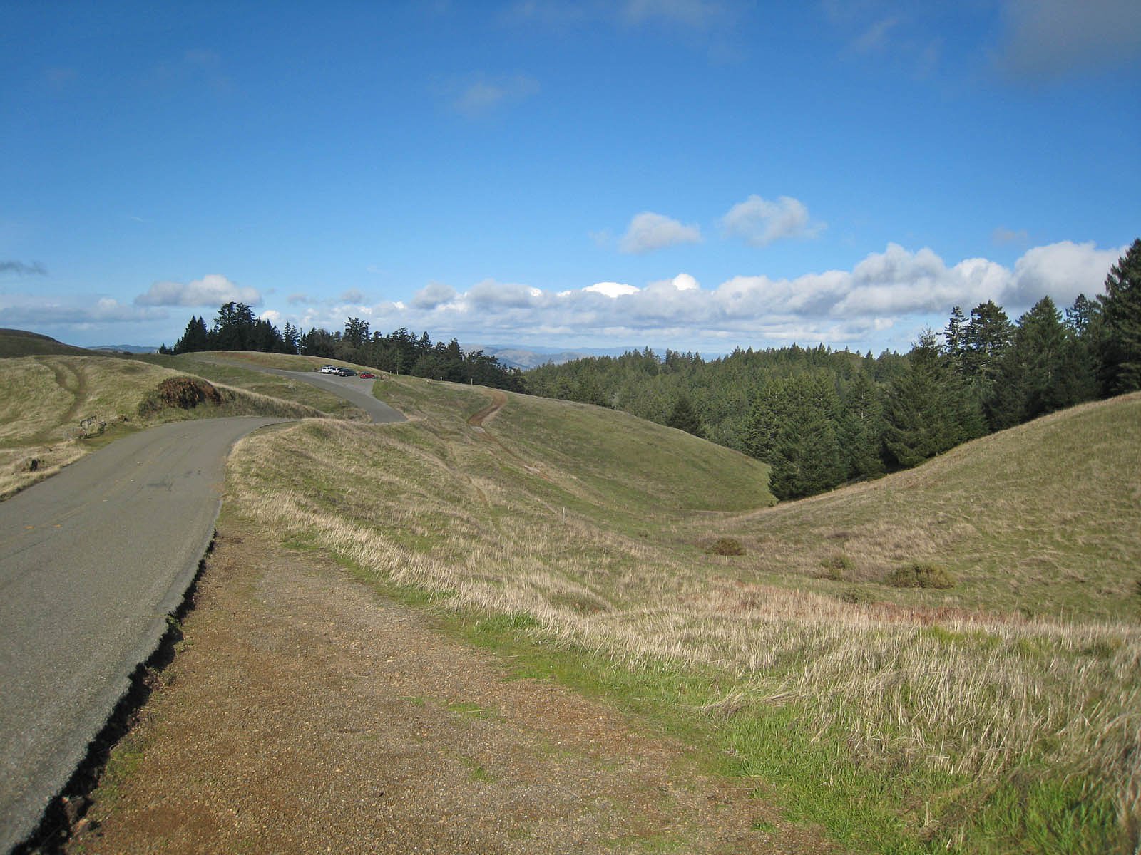
Getting There
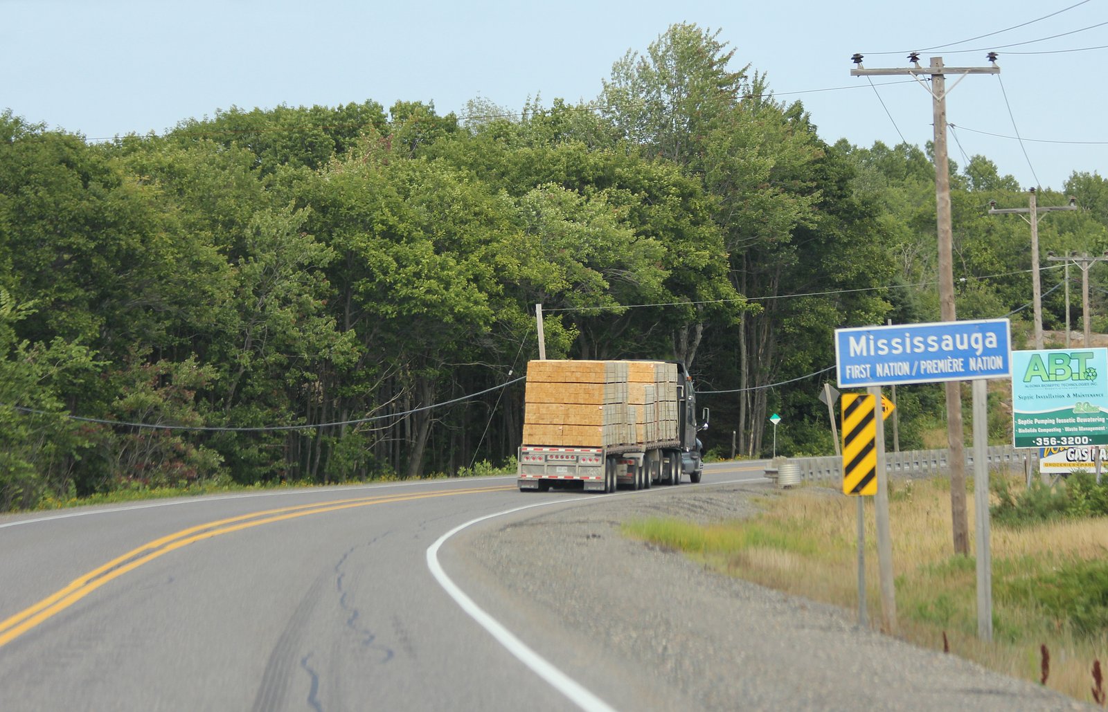
From Thessalon head along local secondary roads toward the general coordinate area (46.2569, -82.9784). Final approach is likely via a local/forestry road and a short unimproved footpath; expect narrow or unpaved roads and minimal signage. Exact turnoffs and formal trailheads are not well documented, so using a GPS and up-to-date local maps or contacting Algoma-area visitor information is advised.
Get Directions on Google MapsParking
There may be an informal pullout or small roadside parking rather than an established parking lot. No formal facilities are known. Park off the road where it is safe and legal; avoid blocking gates or driveways.
Elevation
192 metres above sea level
Coordinates
46.256882° N, -82.978390° W
Visitor Tips & Gear
• Wear sturdy, closed-toe footwear with good traction; rocks near the falls can be slippery. • Expect limited or no cell service in parts of Algoma, download maps and GPS points before you go. • Bring insect repellent in spring/summer and be tick-aware. • There are likely no trash facilities, pack out what you bring in. • Check local road and weather conditions before travelling; forestry roads can be rough or seasonally closed. • If visiting in winter, be prepared for icy surfaces and limited access; ice formations can be beautiful but unstable.
Where to Stay
Browse vacation cabins and private rentals nearby
Unique outdoor stays — tents, yurts, and treehouses
Rent a campervan or RV for your waterfall road trip
Some links are affiliate links. We may earn a commission at no extra cost to you.
Nearby Campground
Clear Lake Camp
23.6 km away
Additional Information
Nearby Attractions
Nearest towns include Thessalon (approx. 24.5 miles), De Tour Village (approx. 52.7 miles) and Little Current (approx. 58.4 miles). The north shore of Lake Huron and various provincial forests and lakes are in the broader region, good for combined trips, but check specific destinations for amenities and access.
Wildlife
Typical Algoma-area wildlife may include white-tailed deer, beaver, a variety of waterfowl and songbirds, and occasionally black bear or moose. Always observe wildlife from a distance and store food securely.
Cities near Cataract Falls
Nearby Waterfalls
Other waterfalls named Cataract Falls
4 other waterfalls share this name across Canada.
Writing about Cataract Falls? Embed this waterfall on your site for free.