Burnett Falls
British Columbia • 14 m
By Armen Suny · Last verified Jun 2026
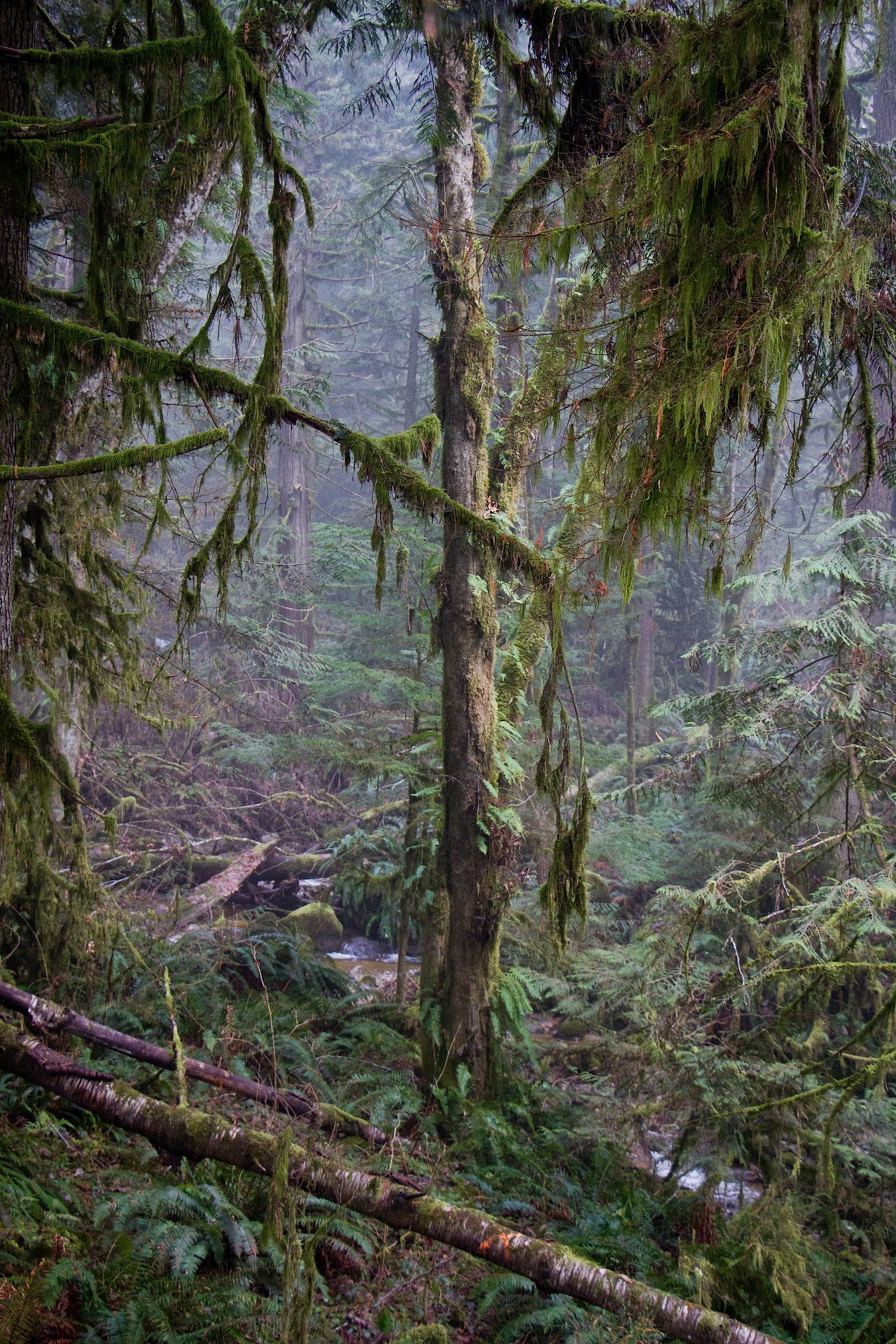
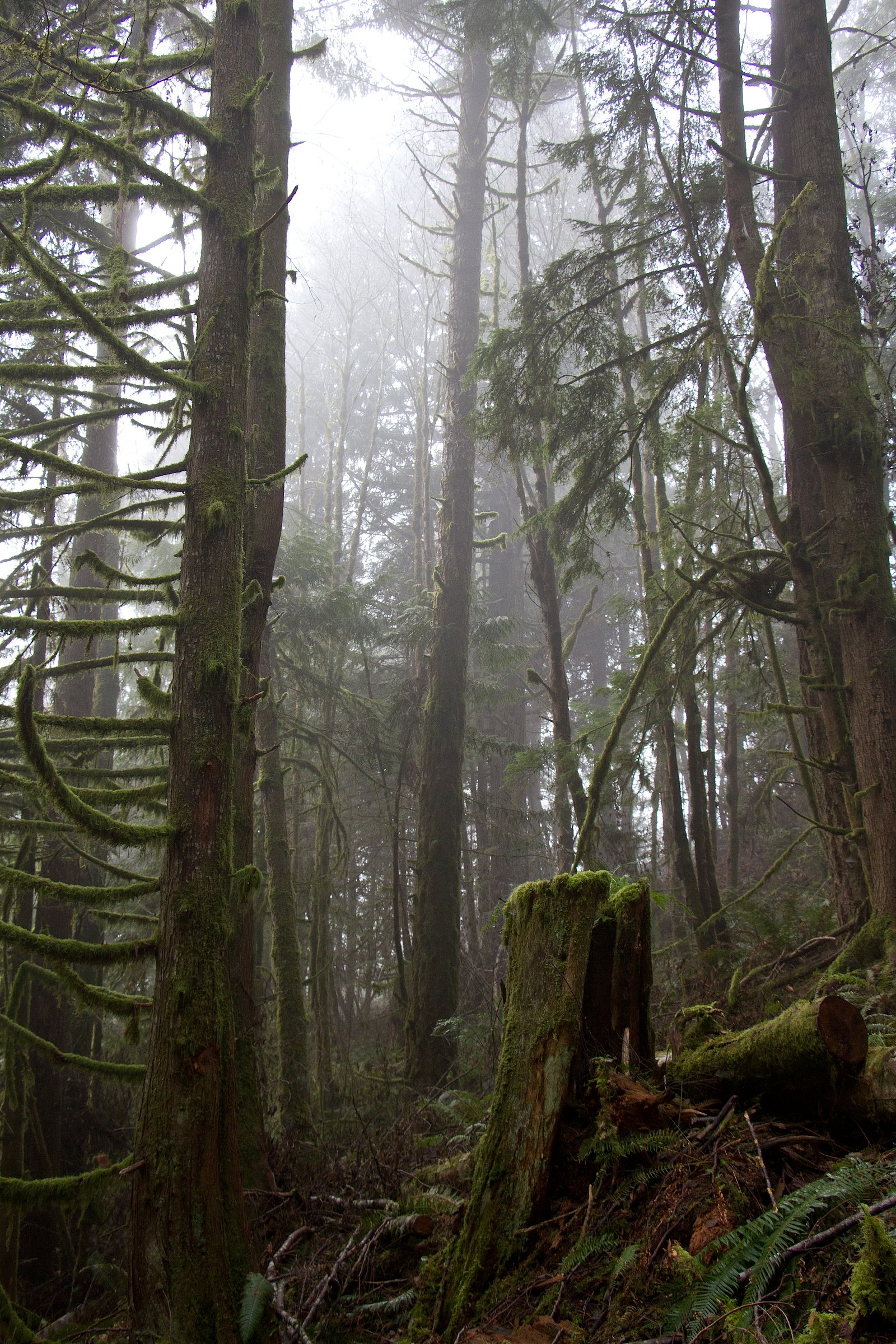
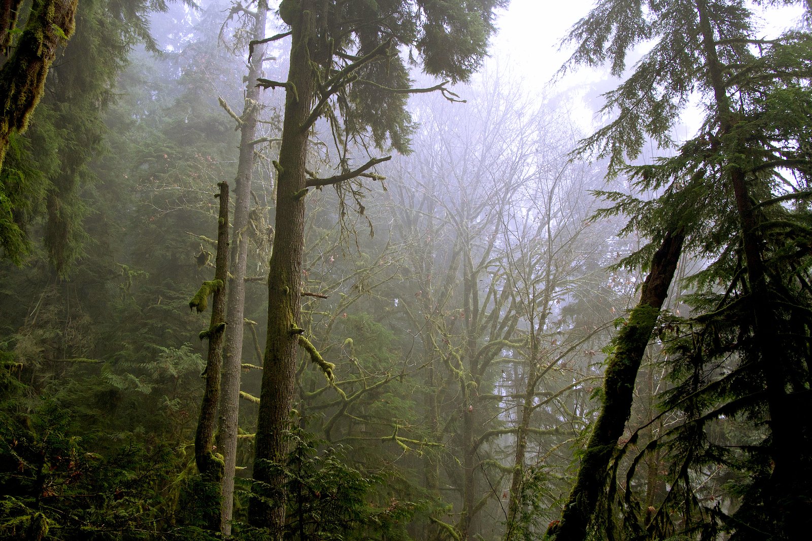
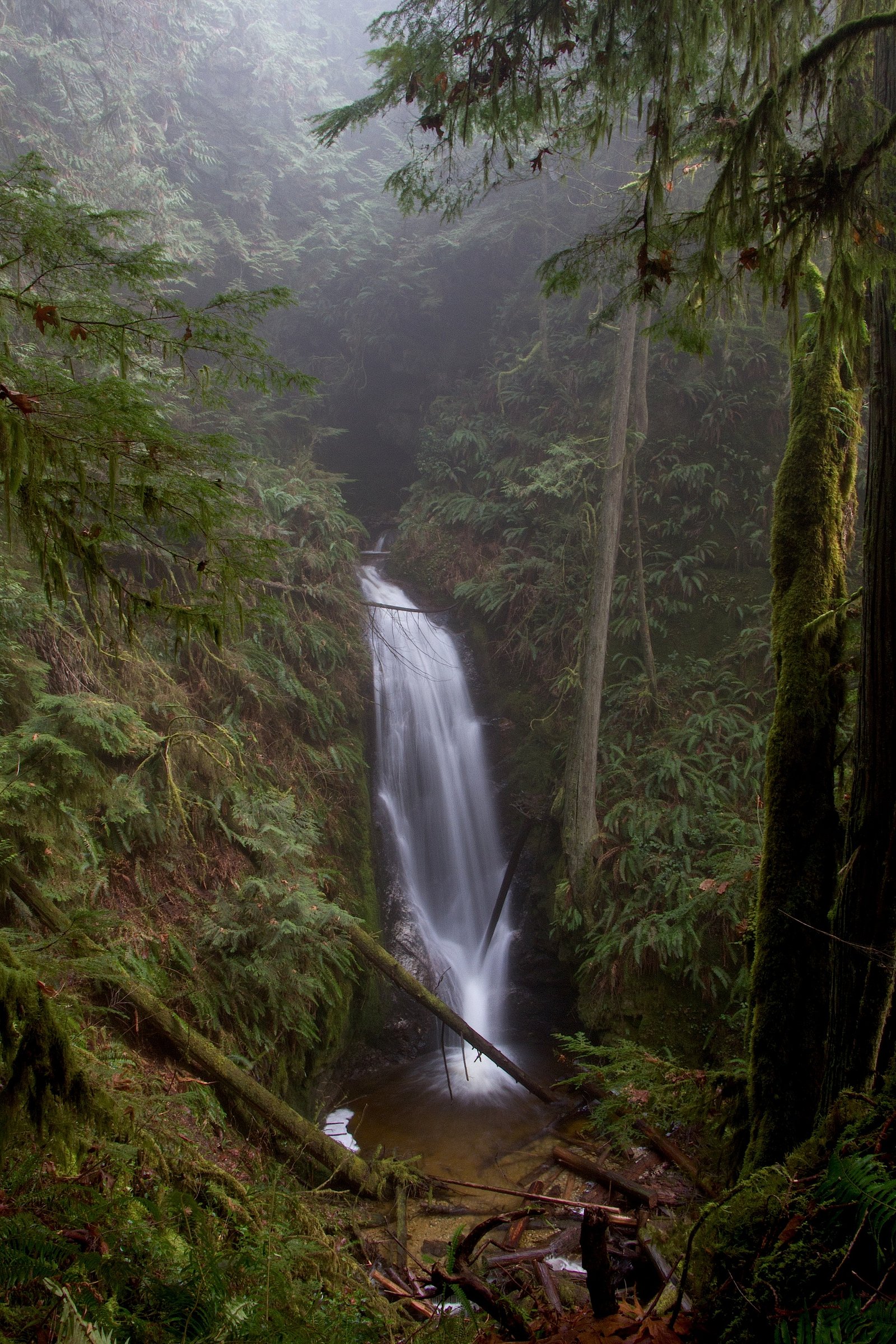
Photo Credits (5)
Difficulty
Easy
Trail Length
0.6 km
Trail Type
Out And Back
Elevation Gain
35 m
About Burnett Falls
Burnett Falls is a coastal waterfall located at approximately 49.5016, -123.7367 in southwestern British Columbia. The falls lie on the coast roughly between Nanaimo (≈24.8 miles), Vancouver (≈37.8 miles) and Powell River (≈53.1 miles). Local reports indicate this is a natural, likely small-to-moderate cascade typical of coastal forest streams; flow is likely seasonal and strongest in spring and after significant rain. Specific published measurements for height are not readily available.
The Setting
Burnett Falls sits at 90 metres in the coastal lowlands of British Columbia. The falls drop 14 metres.
Why This Waterfall Exists
Burnett Falls flows over loose river sediment, primarily alluvium, laid down about 3 million years ago. These soft rocks erode readily, allowing the stream to carve a 45-foot drop into the landscape.
Nearby Falls Worth Visiting
Langdale Falls (15 m) lies 17.5 kilometres to the east. Also nearby: Homesite Creek Falls (6 m, 14.6 km).
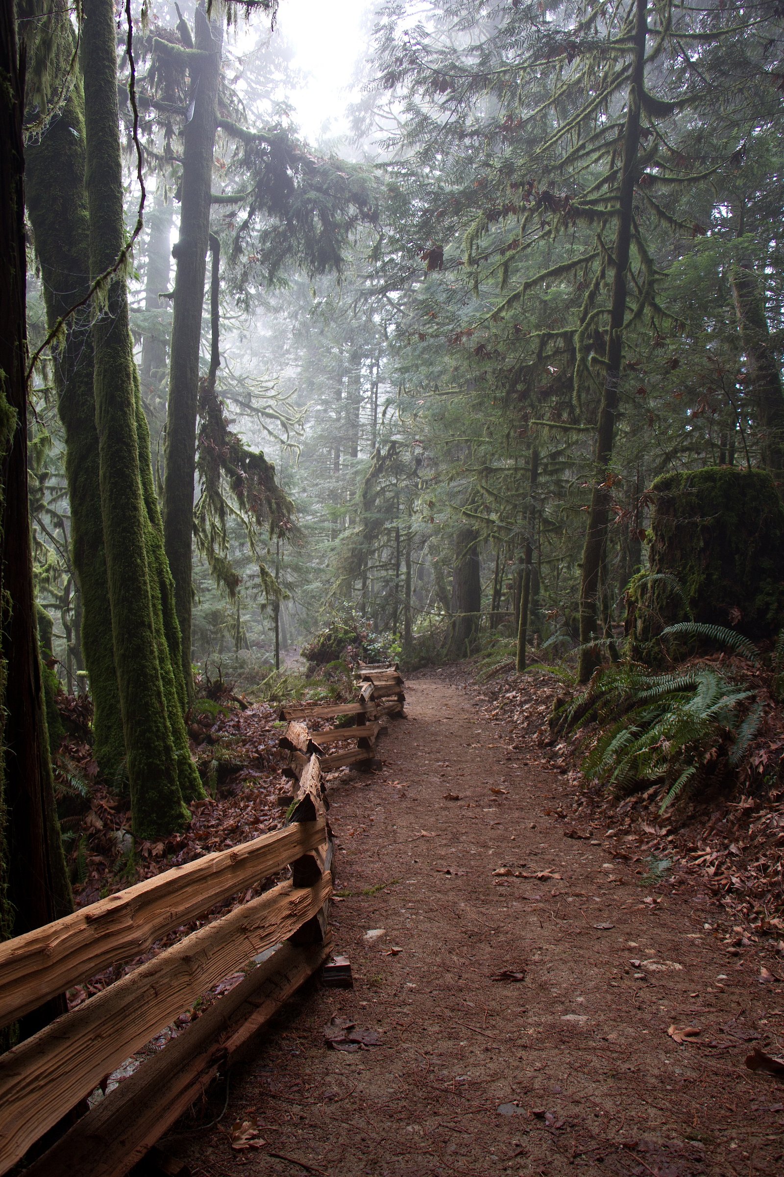
Trail & Hike Details
The Approach
The easy 0.6-km out-and-back trail gains 35 metres of elevation on the way to the falls.
Trail Description
Trail descriptions from authoritative sources are sparse for this specific waterfall. Expect a forested trail that may include roots, rocks, and short steep sections approaching the creek or viewpoint. The final approach to the falls may be along an unmaintained path and could require route-finding. Trails in this coastal region can be muddy and slippery after rain.
What to Expect
The falls drop 14 metres over loose river sediment.
Accessibility
The trail is short and relatively flat, but the surface may be uneven. Contact the managing agency for accessibility details.
Frequently Asked Questions
🐶 Are Dogs Allowed at Burnett Falls?
❌ Dogs are not allowed
Are There Any Fees or Permits Required?
🆖 No fees required
🏊 Is There Swimming at Burnett Falls?
❌ Swimming is not allowed
When to Visit
Late spring through early fall for the most reliable access and good trail conditions. Spring typically offers the strongest flows. Avoid visiting during or immediately after heavy storms when streams can rise rapidly.
Seasonal Access
The best time to visit is Spring, Summer, and Fall. Winter access may be limited. Check with the managing park or local authority for current conditions.
Safety Information
Hazards can include slippery wet rock, steep drop-offs, loose or undercut banks, fast-rising water after heavy rain, and limited cell reception. Do not climb on the falls or stand at the very edge of banks. If the site requires a boat landing, be cautious of tides and surf. If wildlife is encountered (bears, cougars), follow established safety protocols. Check recent trip reports for any seasonal hazards or trail washouts.
Current Water Conditions
0.1 m³/s
Current discharge — how much water is flowing
Much lower than usual for this time of year
Based on 66 years of record
99999.00 m
Water depth at gauge
7-Day Discharge Trend
What does this mean for your visit?
Flow is well below normal for this time of year, so the waterfall may be a trickle.
About This Gauge
This gauge is on a nearby waterway and may not reflect exact conditions at the falls.
7-Day Flow Outlook
Based on the WSC gauge ROBERTS CREEK AT ROBERTS CREEK (11 km away).
Today
Barely Flowing
0.1 m³/s
5/10Tomorrow
Barely Flowing
0.1 m³/s
4/10Tue
Barely Flowing
0.1 m³/s
4/10Wed
Barely Flowing
0.1 m³/s
4/10Thu
Barely Flowing
0.1 m³/s
4/10Fri
Barely Flowing
0.1 m³/s
4/10Sat
Barely Flowing
0.1 m³/s
4/10Best window: Today — barely flowing flow, sunny (trip score 5/10).
Best time of year: this gauge typically runs highest from early January to late January, peaking in November.
How we calculate this
This is a transparent outlook, not a precise forecast. We take the waterfall's current flow strength (how it ranks against its historical normal for today, from the nearest WSC stream gauge), carry that ranking forward along the gauge's seasonal curve, and nudge it for forecast rain. Confidence is highest for the next day or two and falls further out. Always check official conditions and your own judgment before visiting — high flows can be dangerous.
Know when to go.
Get a free email alert when waterfalls near Nanaimo hit peak flow. We only send when conditions are worth the trip — no weekly newsletters, no spam.
Weather Forecast
Location & Access
Getting There
Access details are not well-documented in major public sources. The falls are on coastal mainland/island terrain near the Sunshine Coast / Howe Sound region; reaching the site likely requires driving to a nearby trailhead and a short forested hike or, depending on exact shoreline access, a boat/floatplane to a nearby landing. Visitors should consult up-to-date local maps, regional park websites, or local hiking resources (AllTrails, regional parks) for precise driving directions and access notes before traveling.
Get Directions on Google MapsParking
Parking information is not clearly documented. Expect limited or informal roadside parking at the nearest trailhead; where a formal parking lot exists it may be small. Check local signage and avoid blocking gates or private driveways.
Elevation
90 metres above sea level
Coordinates
49.501562° N, -123.736667° W
Visitor Tips & Gear
• Check recent trip reports or local park pages for access updates before you go. • Wear sturdy, grippy footwear; trails and rocks near the falls are often slippery. • Bring insect repellent in spring/summer. • Leave no trace: pack out everything and avoid creating new trails close to the falls. • If the site requires a boat or ferry, confirm schedules and safe landing spots ahead of time. • Avoid getting too close to the edge, wet rock and undercut banks are hazardous.
As an Amazon Associate, we earn from qualifying purchases.
For this easy 0.6 km trail, lightweight trail shoes and a water bottle are usually sufficient. Sun exposure on the trail makes good sun protection a must in summer.

Polarized Sunglasses (Knockaround)
Cuts glare off the water so you actually see the falls — and your photos turn out better too.

Columbia Watertight II Rain Jacket
Packs into its own pocket, seam-sealed, and keeps you dry from spray and surprise rain.

Earth Pak Waterproof Dry Bag
Keeps your phone and gear dry when waterfall mist soaks everything else.

Waterproof Phone Pouch (AiRunTech)
Cheap insurance — take photos right next to the falls without killing your phone.

JOBY GorillaPod Starter Kit
Wraps around railings and rocks for long-exposure waterfall shots — no flat surface needed.

Osprey Daylite Daypack
Light, organized, and just the right size for a day hike — fits water, snacks, and layers.
Where to Stay
Browse vacation cabins and private rentals nearby
Unique outdoor stays — tents, yurts, and treehouses
Rent a campervan or RV for your waterfall road trip
Some links are affiliate links. We may earn a commission at no extra cost to you.
Nearby Campground
Porpoise Bay Campground
1 km away
Additional Information
Nearby Attractions
Nearby population centers include Nanaimo, Vancouver and communities along the Sunshine Coast. Depending on exact access, nearby attractions could include coastal viewpoints, island beaches, and regional parks; consult local visitor resources for specifics.
Wildlife
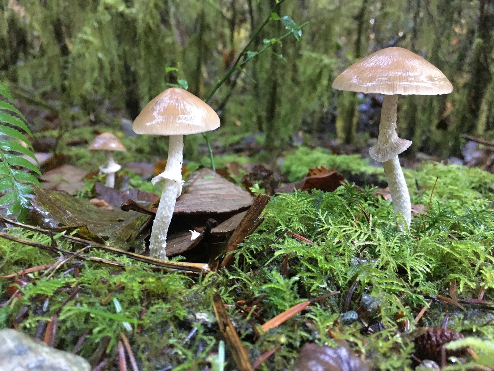
Typical coastal British Columbia wildlife may be present: black-tailed deer, black bears (less common near high-use areas but possible), raccoons, small mammals, and a variety of birds. Salmon may use coastal streams in the region; observe all fisheries and wildlife advisories and avoid disturbing spawning areas.
Cities near Burnett Falls
Nearby Waterfalls
Writing about Burnett Falls? Embed this waterfall on your site for free.