Difficulty
Moderate
Trail Length
2.7 km
Trail Type
Out And Back
Elevation Gain
234 m
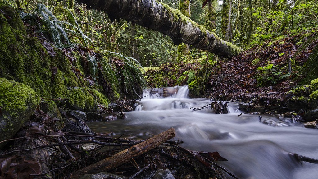
About Chaster Falls
Chaster Falls is a small, forested cascade located on the North Shore near the Burrard Inlet (coordinates 49.4267, -123.536). It appears to be a modest, multi-step waterfall set in a wooded ravine and is most prominent during spring snowmelt and after heavy rain. Public information about developed trails, official viewpoints, and exact measured height is limited; descriptions below use conservative language where specifics are not confirmed.
Why This Waterfall Exists
Chaster Falls flows over loose river sediment, primarily alluvium, laid down about 3 million years ago. These soft rocks erode readily, allowing the stream to carve a vertical drop into the landscape.
Nearby Falls Worth Visiting
Langdale Falls (15 m) lies 1.9 kilometres to the northeast. Also nearby: Burnett Falls (14 m, 16.7 km) and Bridal Veil falls (2 m, 15.0 km).
Trail & Hike Details
The Approach
The moderate 2.7-km out-and-back trail gains 234 metres of elevation on the way to the falls.
Trail Description
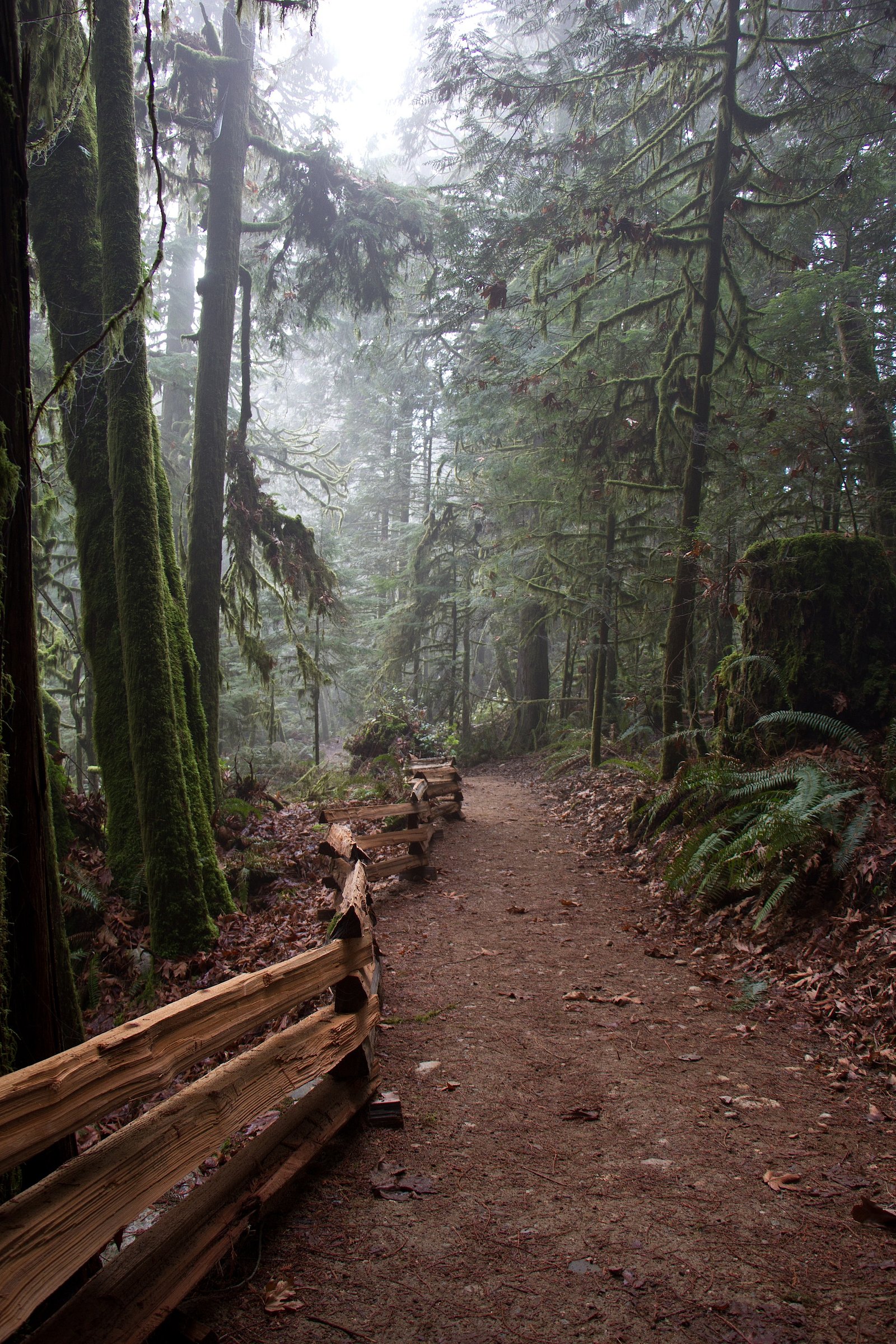
There is limited authoritative trail documentation for Chaster Falls. Visitors report that viewing often requires following a short informal or lightly maintained path down into a ravine from nearby roads or parks. Trails may be narrow, rooty, and steep in places; route-finding can be required. Expect minimal infrastructure (few or no railings, viewing platforms, or signage) and potentially wet, muddy, or slippery conditions near the stream.
What to Expect
A small to medium cascade in a shaded, forested ravine. Water flow is seasonal, highest in spring and after heavy rains, reduced in late summer during dry periods. The immediate area likely has moss-covered rocks, tree roots, and narrow banks. Limited viewpoints mean careful footing is needed to get a good view or photos. Facilities (toilets, trash bins, benches) are likely absent.
Accessibility
The trail is not wheelchair accessible. Uneven terrain and elevation changes require steady footing.
Frequently Asked Questions
🐶 Are Dogs Allowed at Chaster Falls?
❌ Dogs are not allowed
Are There Any Fees or Permits Required?
🆖 No fees required
🏊 Is There Swimming at Chaster Falls?
❌ Swimming is not allowed
When to Visit
Late spring (snowmelt/after-runoff) for the fullest flows; early morning or weekdays for fewer visitors. Summer offers easier footing and dryer trails but reduced water flow. Avoid visiting alone in winter or during storms when trails are icy or stream levels are high.
Seasonal Access
The best time to visit is Spring, Summer, and Fall. Winter access may be limited. Check with the managing park or local authority for current conditions.
Safety Information
Hazards can include slippery rocks, steep drop-offs, unstable or eroding banks, high water during/after heavy rain, and poor footing on informal or unmaintained trails. Cell reception may be limited. Always tell someone your plans, carry basic safety gear, and avoid approaching edges. In winter, expect ice and snow on trails and near the falls, use appropriate traction devices and extra caution.
7-Day Flow Outlook
Based on the WSC gauge ROBERTS CREEK AT ROBERTS CREEK (8 km away).
Today
Barely Flowing
0.1 m³/s
4/10Tomorrow
Barely Flowing
0.1 m³/s
4/10Tue
Barely Flowing
0.1 m³/s
4/10Wed
Barely Flowing
0.1 m³/s
4/10Thu
Barely Flowing
0.1 m³/s
4/10Fri
Barely Flowing
0.1 m³/s
4/10Sat
Barely Flowing
0.1 m³/s
3/10Best window: Today — barely flowing flow, cloudy (trip score 4/10).
Best time of year: this gauge typically runs highest from early January to late January, peaking in November.
How we calculate this
This is a transparent outlook, not a precise forecast. We take the waterfall's current flow strength (how it ranks against its historical normal for today, from the nearest WSC stream gauge), carry that ranking forward along the gauge's seasonal curve, and nudge it for forecast rain. Confidence is highest for the next day or two and falls further out. Always check official conditions and your own judgment before visiting — high flows can be dangerous.
Know when to go.
Get a free email alert when waterfalls near Vancouver hit peak flow. We only send when conditions are worth the trip — no weekly newsletters, no spam.
Weather Forecast
Location & Access
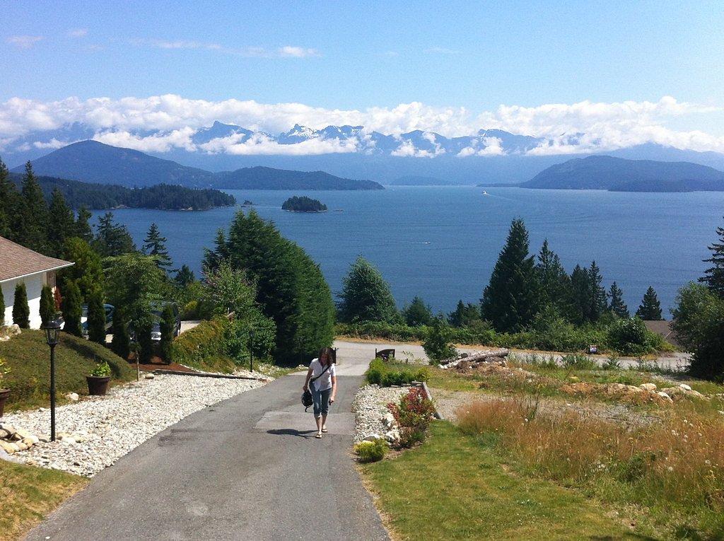
Getting There
The falls lie on the North Shore of Greater Vancouver, roughly 25–26 miles from downtown Vancouver by road and short ferry/bridge crossings depending on route. Use the provided coordinates (49.4267, -123.536) in a mapping app. Access is typically by local roads and one or more short footpaths; some approach routes may follow unmarked or informal trails through forested residential or parkland areas. Expect varied cell reception in ravines and on trails.
Get Directions on Google MapsParking
No well-documented official parking lot is known specifically for Chaster Falls. Parking may be limited to roadside pullouts or nearby park lots if the falls are approached from municipal parkland. Park legally, follow signage, and avoid blocking driveways. If visiting from a provincial park access point, use that park's designated parking areas.
Elevation
484 metres above sea level
Coordinates
49.426697° N, -123.535972° W
Visitor Tips & Gear
• Wear sturdy, grippy footwear, rocks and roots are slippery, especially when wet. • Stay back from the edge and avoid climbing on wet rocks near the falls. • Expect limited or no signage; bring a map or use GPS with the provided coordinates. • Park legally and avoid blocking local access or private driveways. • Leave no trace, pack out all trash. • Check local weather and recent visitor reports before visiting; heavy rain can cause hazardous flows. • If uncertain about access (private land vs. parkland), respect posted signs and property boundaries.
As an Amazon Associate, we earn from qualifying purchases.
With 2.7 km and 234 m of elevation gain, sturdy boots and trekking poles will help on this moderate trail. Sun exposure on the trail makes good sun protection a must in summer.

Columbia Watertight II Rain Jacket
Packs into its own pocket, seam-sealed, and keeps you dry from spray and surprise rain.

Earth Pak Waterproof Dry Bag
Keeps your phone and gear dry when waterfall mist soaks everything else.

Waterproof Phone Pouch (AiRunTech)
Cheap insurance — take photos right next to the falls without killing your phone.

Timberland Euro Sprint Mid Waterproof
Trusted waterproof boot with premium leather and grippy rubber sole — reliable on rocky, wet trails.

TrailBuddy Trekking Poles
Lightweight aluminum, cork grips, and flip-locks that actually hold — a best-seller for good reason.

Polarized Sunglasses (Knockaround)
Cuts glare off the water so you actually see the falls — and your photos turn out better too.
Where to Stay
Browse vacation cabins and private rentals nearby
Unique outdoor stays — tents, yurts, and treehouses
Rent a campervan or RV for your waterfall road trip
Some links are affiliate links. We may earn a commission at no extra cost to you.
Nearby Campground
Gibson’s RV Resort
1.3 km away
Additional Information
Nearby Attractions
Nearby North Shore and West Vancouver attractions include local parks, coastal viewpoints, and trails such as Cypress Provincial Park, Lighthouse Park, and local seaside areas around Horseshoe Bay and Whytecliff Park. Downtown Vancouver lies across Burrard Inlet to the southeast.
Wildlife
Typical Greater Vancouver North Shore wildlife may be present: black-tailed deer, raccoons, a variety of birds, and small mammals. Black bears and cougars are less common in low-elevation developed areas but can occur in adjacent forested parkland, exercise caution and follow wildlife-safety guidelines.
Cities near Chaster Falls
Nearby Waterfalls
Writing about Chaster Falls? Embed this waterfall on your site for free.