Difficulty
Easy
Trail Length
3.1 km
Trail Type
Out And Back
Elevation Gain
149 m
About Gibsons creek falls
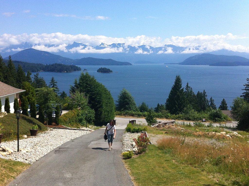
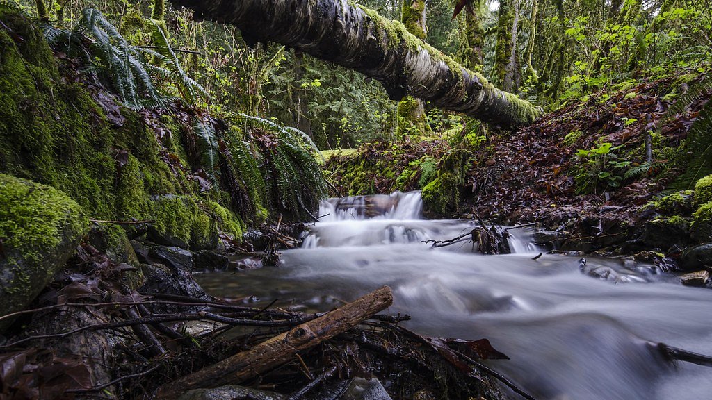
Gibsons Creek Falls is a small, wooded cascade on Gibsons Creek on the Sunshine Coast of British Columbia, near the town of Gibsons (coordinates: 49.4314, -123.5238). The falls sit in a coastal temperate forest setting and are most noticeable during higher-flow periods (spring melt and after heavy fall rains). Public information about a developed viewpoint or maintained trail is limited; access may be via short informal paths from nearby roads or residential areas. Visitors should be aware that details about formal access, signage, and maintenance are not well-documented and may change.
The Setting
Gibsons creek falls sits at 443 metres within Old Growth Management Areas (Mapped Legal), in the foothills of British Columbia.
Why This Waterfall Exists
Gibsons creek falls flows over loose river sediment, primarily alluvium, laid down about 3 million years ago. These soft rocks erode readily, allowing the stream to carve a vertical drop into the landscape.
Nearby Falls Worth Visiting
Langdale Falls (15 m) lies 1.0 kilometres to the northeast. Also nearby: Burnett Falls (14 m, 17.2 km) and Bridal Veil falls (2 m, 14.3 km).
Trail & Hike Details
The Approach
The easy 3.1-km out-and-back trail gains 149 metres of elevation on the way to the falls.
Trail Description
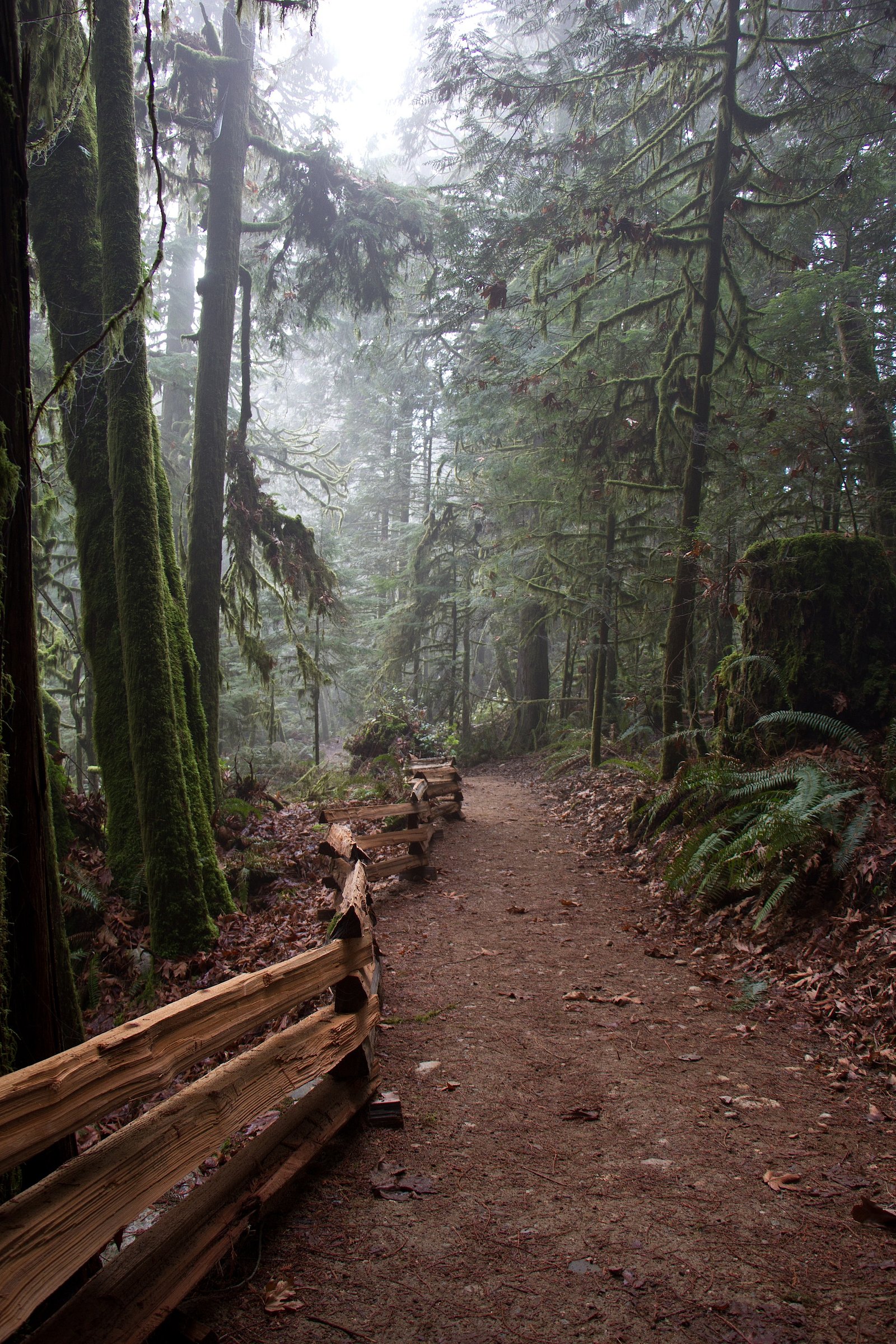
There is no widely documented maintained trail to Gibsons Creek Falls. Reports and local knowledge suggest short, informal paths through coastal forest and brush that descend to the creek. Expect uneven footing, tree roots, and potentially muddy or soggy sections. Approaches may pass through or alongside residential properties, respect private land and posted signs. Because formal wayfinding is limited, navigation can require route-finding skills and caution.
What to Expect
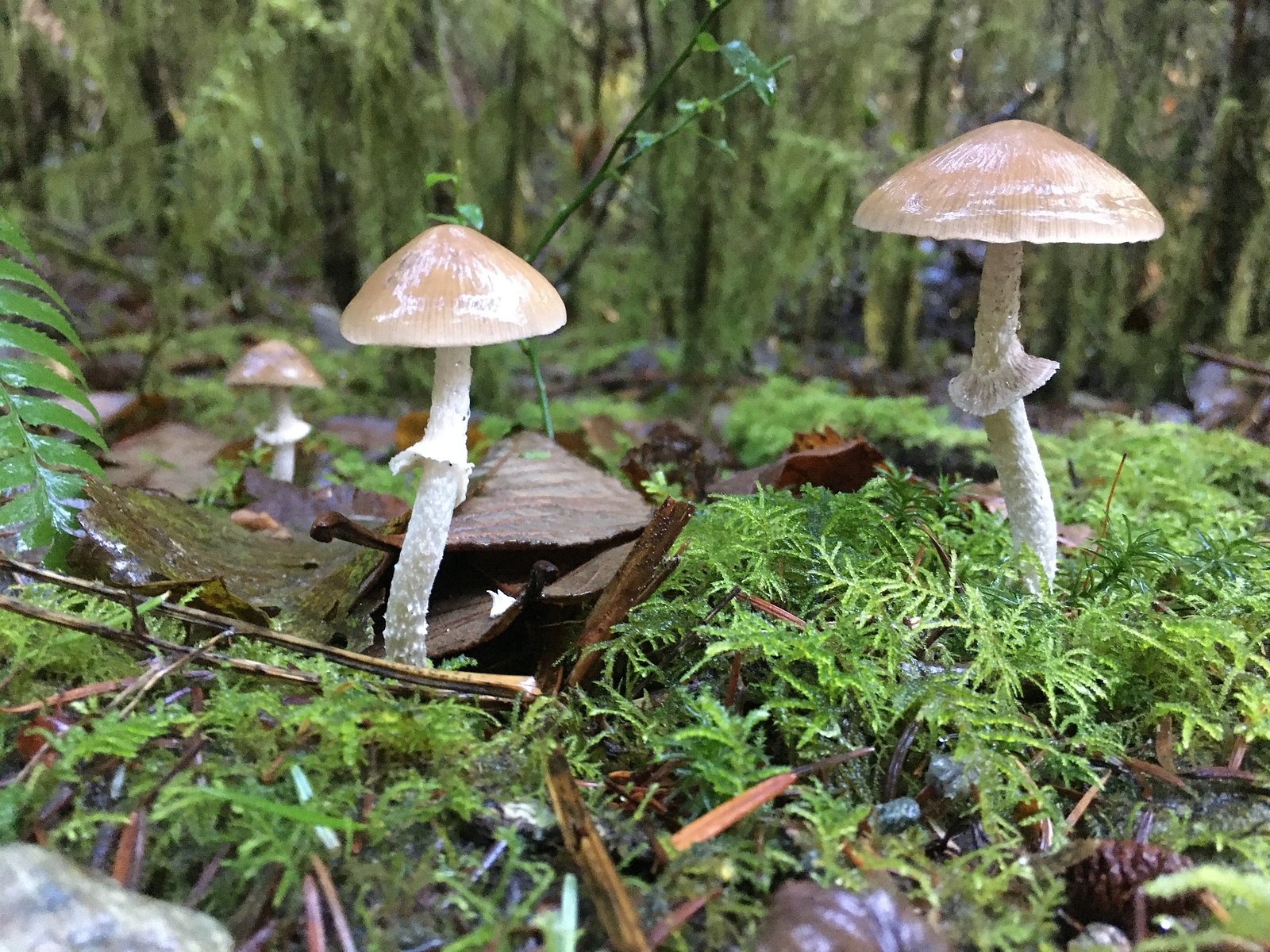
A small cascade set in mossy, cedar-hemlock coastal forest. Flow is seasonal, strongest in spring and after heavy rains in fall, lower in late summer. Views may be limited to a small clearing or bank above the creek; there are likely no developed viewpoints, railings, or interpretive signs. Expect typical coastal-BC undergrowth (ferns, salal, salmonberry) and potentially muddy, slippery ground near the creek.
Accessibility
The trail is not wheelchair accessible. Uneven terrain and elevation changes require steady footing.
Frequently Asked Questions
🐶 Are Dogs Allowed at Gibsons creek falls?
❌ Dogs are not allowed
Are There Any Fees or Permits Required?
🆖 No fees required
🏊 Is There Swimming at Gibsons creek falls?
❌ Swimming is not allowed
When to Visit
Best flow is typically in spring (snowmelt and seasonal rains) and during/after fall rain events. Late summer may have reduced flow. Visit on clear days for safer footing and better travel conditions.
Seasonal Access
The best time to visit is Spring, Summer, and Fall. Winter access may be limited. Check with the managing park or local authority for current conditions.
Safety Information
• Slippery rocks and muddy banks present a fall hazard, stay back from the edge and do not climb wet rock. • There are likely no lifeguards or safety infrastructure, avoid entering or swimming in the creek, especially during high flow. • Cold water and strong undercurrents can be dangerous even in small streams. • Watch for ticks, poison ivy/nettles, and other typical coastal vegetation hazards. • Respect private property; entering posted private lands can create conflict or safety risk. • Cell coverage may be limited in forested or rural pockets, tell someone your plan and expected return time.
7-Day Flow Outlook
Based on the WSC gauge ROBERTS CREEK AT ROBERTS CREEK (9 km away).
Today
Barely Flowing
0.1 m³/s
4/10Tomorrow
Barely Flowing
0.1 m³/s
4/10Tue
Barely Flowing
0.1 m³/s
4/10Wed
Barely Flowing
0.1 m³/s
4/10Thu
Barely Flowing
0.1 m³/s
4/10Fri
Barely Flowing
0.1 m³/s
4/10Sat
Barely Flowing
0.1 m³/s
3/10Best window: Today — barely flowing flow, cloudy (trip score 4/10).
Best time of year: this gauge typically runs highest from early January to late January, peaking in November.
How we calculate this
This is a transparent outlook, not a precise forecast. We take the waterfall's current flow strength (how it ranks against its historical normal for today, from the nearest WSC stream gauge), carry that ranking forward along the gauge's seasonal curve, and nudge it for forecast rain. Confidence is highest for the next day or two and falls further out. Always check official conditions and your own judgment before visiting — high flows can be dangerous.
Know when to go.
Get a free email alert when waterfalls near Vancouver hit peak flow. We only send when conditions are worth the trip — no weekly newsletters, no spam.
Weather Forecast
Location & Access
Getting There
Gibsons is on the Sunshine Coast (accessible by BC Ferries from Horseshoe Bay to Langdale or by private boat). From the town of Gibsons the falls are located very near the creek named for the town. Exact on-the-ground access points and formal trailheads are not well-documented; approach is typically from local roads or short unofficial footpaths through forested parcels. Visitors should consult local maps, municipal resources, or recent trip reports for up-to-date access.
Get Directions on Google MapsParking
There may be limited on-street or neighborhood parking near the creek. No confirmed formal parking lot or maintained trailhead is documented. Park legally and respect private property, do not block driveways.
Elevation
443 metres above sea level
Coordinates
49.431373° N, -123.523765° W
Land Management
Managed by Government of British Columbia
Visitor Tips & Gear
• Check for private property and posted access restrictions before entering any unofficial paths. • Wear sturdy, waterproof footwear; creek banks and rocks will be slippery. • Use caution near the water’s edge, there may be no guardrails and slick rock surfaces. • Bring insect repellent during warm months; wear long pants to limit brush/contact. • If visiting after heavy rain, be aware of higher flows and possible flashy conditions. • Park legally and avoid blocking neighborhood access. If unsure about access, ask locally (e.g., at businesses in Gibsons) or consult recent visitor reports.
As an Amazon Associate, we earn from qualifying purchases.
This easy 3.1 km hike is straightforward — comfortable trail shoes and plenty of water should do. Sun exposure on the trail makes good sun protection a must in summer.

Columbia Watertight II Rain Jacket
Packs into its own pocket, seam-sealed, and keeps you dry from spray and surprise rain.

Earth Pak Waterproof Dry Bag
Keeps your phone and gear dry when waterfall mist soaks everything else.

Waterproof Phone Pouch (AiRunTech)
Cheap insurance — take photos right next to the falls without killing your phone.

Polarized Sunglasses (Knockaround)
Cuts glare off the water so you actually see the falls — and your photos turn out better too.

Osprey Daylite Daypack
Light, organized, and just the right size for a day hike — fits water, snacks, and layers.

OR Sombriolet Sun Hat
UPF 50+ sun protection with vents so your head doesn't cook on exposed trail sections.
Where to Stay
Browse vacation cabins and private rentals nearby
Unique outdoor stays — tents, yurts, and treehouses
Rent a campervan or RV for your waterfall road trip
Some links are affiliate links. We may earn a commission at no extra cost to you.
Nearby Campground
Gibson’s RV Resort
1.1 km away
Additional Information
Nearby Attractions
Town of Gibsons and Gibsons Landing (shops, cafes, waterfront), nearby Sunshine Coast beaches and viewpoints, local hiking routes on the Sunshine Coast Highway (BC‑101). Ferries to Langdale/Horseshoe Bay provide regional connections.
Wildlife
Typical coastal BC wildlife: birds (songbirds, waterfowl), small mammals (raccoons, squirrels), and occasional larger mammals in the region (black bears, though sightings in town are uncommon). Salmon presence may occur in local creeks seasonally, observe fish and spawning habitat from a distance and avoid disturbing them.
Cities near Gibsons creek falls
Nearby Waterfalls
Writing about Gibsons creek falls? Embed this waterfall on your site for free.