American Creek Falls
By Armen Suny · Last verified Jun 2026
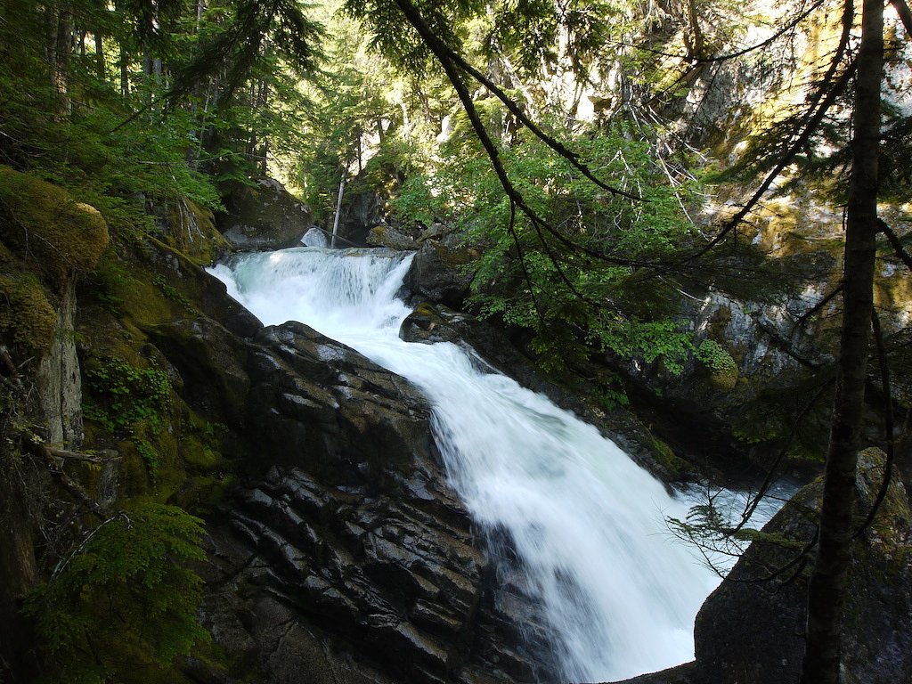
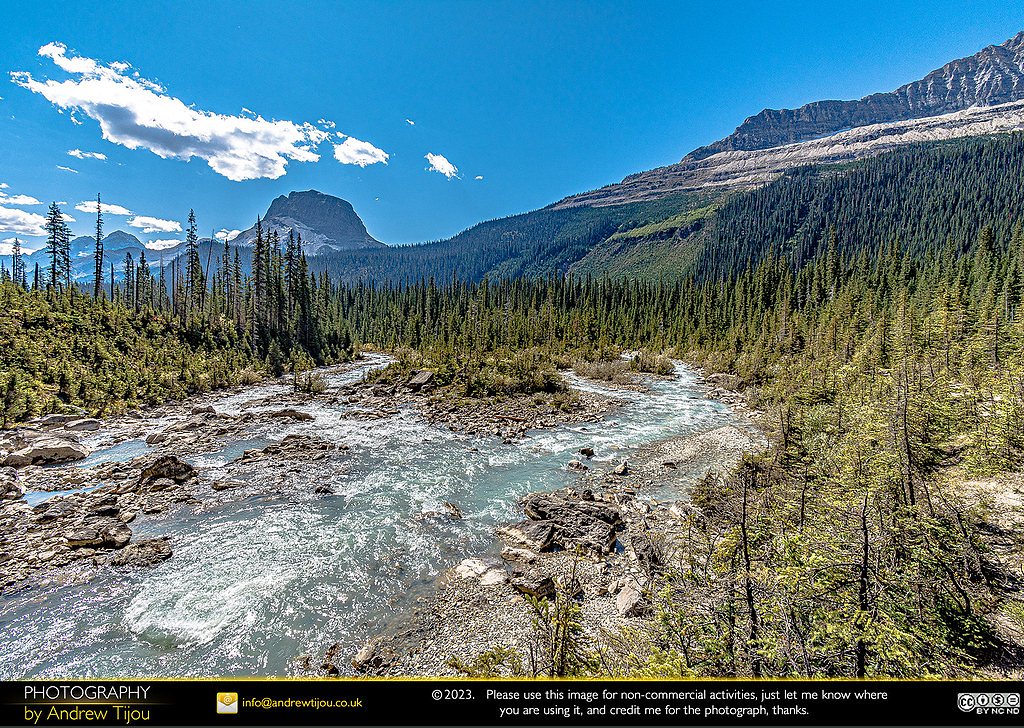
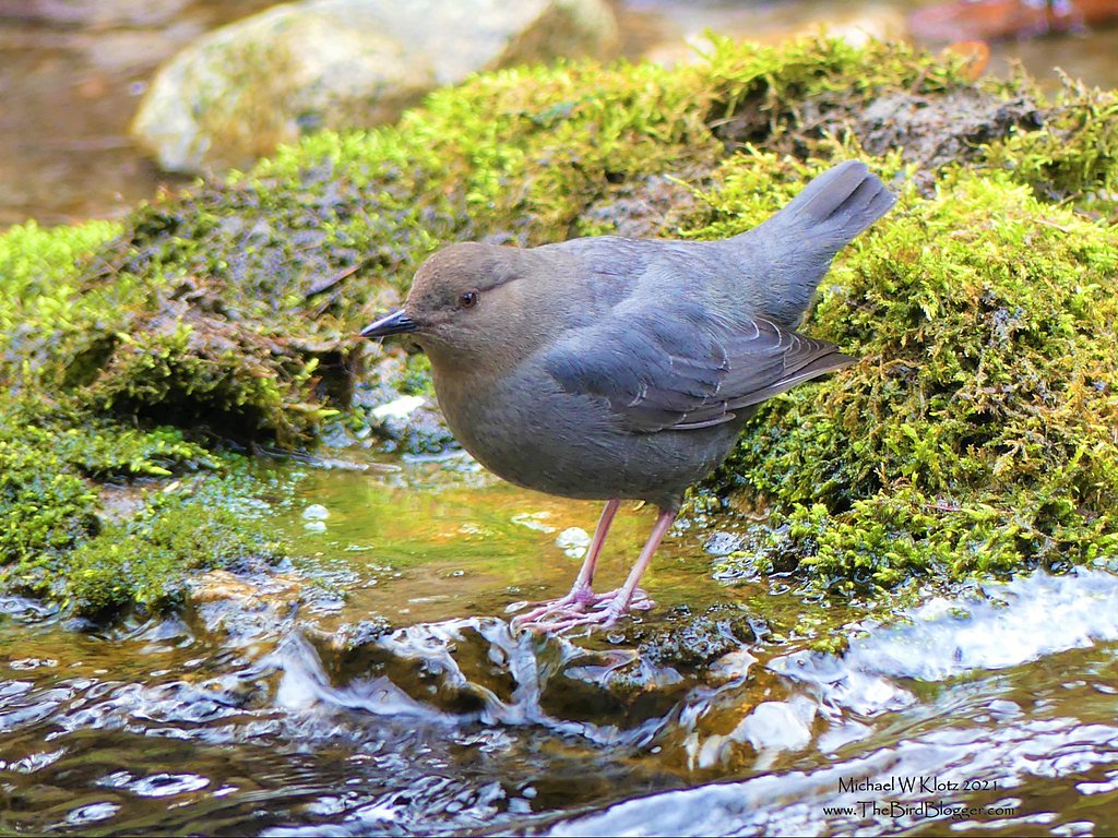
Photo Credits (4)
Difficulty
Moderate
Trail Length
1.1 km
Trail Type
Out And Back
Elevation Gain
143 m
About American Creek Falls
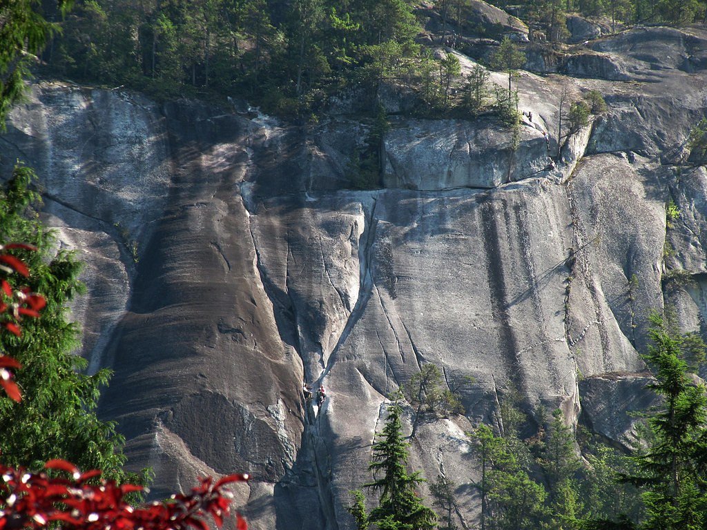
American Creek Falls is a small, seasonal waterfall on American Creek in the Fraser Valley region of southwestern British Columbia. The falls are located in a relatively remote, forested area near the communities of Chilliwack, Glacier and Maple Falls (coordinates: 49.4307, -121.4481). Public information about an official maintained trail is limited; access is often via unpaved forestry or logging roads and a short off-trail approach or scramble may be required. Flow is typically highest in spring with snowmelt and after heavy rain; summer flows can be reduced.
Why This Waterfall Exists
American Creek Falls flows over cemented gravel rock, primarily conglomerate and sandstone, laid down about 145-299 million years ago. These soft rocks erode readily, allowing the stream to carve a vertical drop into the landscape.
Trail & Hike Details
The Approach
The moderate 1.1-km out-and-back trail gains 143 metres of elevation on the way to the falls.
Trail Description
There does not appear to be a widely maintained, signed trail to American Creek Falls. Approaches reported for similar remote falls in the region typically use forestry roads followed by a short, unmarked descent to the creek. Expect uneven, potentially steep or slippery terrain near the creek and no maintained stairs, railings, or signage. Because route details are limited online, plan for navigation with a GPS, topo map, and the ability to bushwhack or scramble over roots/rocks.
What to Expect
A modest cascade or tiered drop on American Creek surrounded by dense mixed forest. The volume is highly seasonal, highest during spring snowmelt and after heavy rain, lower in late summer. Terrain near the falls is likely rocky and slippery with moss and wet logs. There are no formal viewing platforms or safety barriers. Cell service may be unreliable in parts of the approach.
Accessibility
The trail is not wheelchair accessible. Uneven terrain and elevation changes require steady footing.
Frequently Asked Questions
🐶 Are Dogs Allowed at American Creek Falls?
❌ Dogs are not allowed
Are There Any Fees or Permits Required?
🆖 No fees required
🏊 Is There Swimming at American Creek Falls?
❌ Swimming is not allowed
When to Visit
Late spring (snowmelt) for highest flows and late spring/early summer for a balance of flow and access. Summer offers easier access but lower water; fall may present attractive foliage but variable flow. Winter access may be difficult and hazardous due to snow, ice, and seasonal road closures.
Seasonal Access
The best time to visit is Spring, Summer, and Fall. Winter access may be limited. Check with the managing park or local authority for current conditions.
Safety Information
Hazards include slippery rocks and wet logs, steep or unstable creek banks, cold water and strong currents during high flow, limited or no cell service, and possible active forestry operations or private land. Seasonal road closures can leave vehicles stranded on poorly maintained forestry roads, use a suitable vehicle, check road reports, and avoid gated/closed roads. Always exercise caution around water and cliffs, travel with a partner when possible, and carry emergency supplies.
Current Water Conditions
3,710.0 m³/s
Current discharge — how much water is flowing
Much lower than usual for this time of year
Based on 113 years of record
5.68 m
Water depth at gauge
7-Day Discharge Trend
What does this mean for your visit?
Flow is well below normal for this time of year, so the waterfall may be a trickle.
About This Gauge
7-Day Flow Outlook
Based on the WSC gauge FRASER RIVER AT HOPE (5 km away).
Today
Barely Flowing
3710 m³/s
4/10Tomorrow
Barely Flowing
3623 m³/s
4/10Tue
Barely Flowing
3601 m³/s
4/10Wed
Barely Flowing
3543 m³/s
4/10Thu
Barely Flowing
3463 m³/s
4/10Fri
Barely Flowing
3419 m³/s
4/10Sat
Barely Flowing
3339 m³/s
4/10Best window: Today — barely flowing flow, cloudy (trip score 4/10).
Best time of year: this gauge typically runs highest from early May to early August, peaking in June.
How we calculate this
This is a transparent outlook, not a precise forecast. We take the waterfall's current flow strength (how it ranks against its historical normal for today, from the nearest WSC stream gauge), carry that ranking forward along the gauge's seasonal curve, and nudge it for forecast rain. Confidence is highest for the next day or two and falls further out. Always check official conditions and your own judgment before visiting — high flows can be dangerous.
Know when to go.
Get a free email alert when waterfalls near Chilliwack hit peak flow. We only send when conditions are worth the trip — no weekly newsletters, no spam.
Weather Forecast
Location & Access
Getting There
The falls are in a forested area of the Fraser Valley near the coordinates provided (49.4307, -121.4481). Nearest population centers include Chilliwack (~34 miles), Glacier (~47 miles) and Maple Falls (~52 miles). Access is commonly via secondary/forestry roads off regional highways; the final approach may require a rough unmarked spur and a short bushwhack or scramble. Exact public trailhead and route information appears limited or unmarked on official maps, confirm current road conditions and land status before traveling.
Get Directions on Google MapsParking
No official parking lot is known. Expect informal pullouts on unpaved road shoulders or a small clearing near the trail/approach. Park safely off the road and avoid blocking gates or private driveways.
Elevation
162 metres above sea level
Coordinates
49.430703° N, -121.448133° W
Visitor Tips & Gear
1) Tell someone your plan and expected return time; cell coverage may be poor. 2) Use a GPS or offline topo map; trails may be unmarked. 3) Wear sturdy, waterproof boots with good traction for slippery rocks and muddy roads. 4) Expect wet, uneven ground, bring trekking poles for balance. 5) Respect private property and forestry gates; do not block gates. 6) Check for seasonal road closures or active logging in the area. 7) Avoid visiting during or immediately after very heavy rain due to risk of flashy creek flows and unstable banks.
As an Amazon Associate, we earn from qualifying purchases.
With 1.1 km and 143 m of elevation gain, sturdy boots and trekking poles will help on this moderate trail. Sun exposure on the trail makes good sun protection a must in summer.

Polarized Sunglasses (Knockaround)
Cuts glare off the water so you actually see the falls — and your photos turn out better too.

Columbia Watertight II Rain Jacket
Packs into its own pocket, seam-sealed, and keeps you dry from spray and surprise rain.

Earth Pak Waterproof Dry Bag
Keeps your phone and gear dry when waterfall mist soaks everything else.

Waterproof Phone Pouch (AiRunTech)
Cheap insurance — take photos right next to the falls without killing your phone.

Timberland Euro Sprint Mid Waterproof
Trusted waterproof boot with premium leather and grippy rubber sole — reliable on rocky, wet trails.

TrailBuddy Trekking Poles
Lightweight aluminum, cork grips, and flip-locks that actually hold — a best-seller for good reason.
Where to Stay
Browse vacation cabins and private rentals nearby
Unique outdoor stays — tents, yurts, and treehouses
Rent a campervan or RV for your waterfall road trip
Some links are affiliate links. We may earn a commission at no extra cost to you.
Nearby Campground
Camper's Roost Park
4.7 km away
Nearby Hot Springs
Hot springs near Chilliwack, British Columbia
Baker Hot Spring
Baker Hot Spring emerges at 108 degrees Fahrenheit on US Forest Service land in Mt. Baker National Forest, flowing 59.5 degrees...
Dorr Fumarole Field
Dorr Fumarole Field reaches 194 degrees at 8,168 feet elevation on Mount Baker's active volcanic slopes, producing superheated ...

Sherman Crater Fumaroles
Sherman Crater Fumaroles register 266 degrees Fahrenheit at 9,463 feet elevation within the active volcanic crater atop Mount B...
Looking for a soak after your hike? Explore more hot springs near Chilliwack, British Columbia on SoakingSprings.
Explore British Columbia springsAdditional Information
Nearby Attractions
Regional attractions in the broader area include outdoor recreation opportunities in the Fraser Valley such as trails, viewpoints and provincial parks near Chilliwack (e.g., Chilliwack Lake area). Exact distances: Chilliwack ~34.1 miles, Glacier ~47.0 miles, Maple Falls ~52.4 miles (as provided).
Wildlife
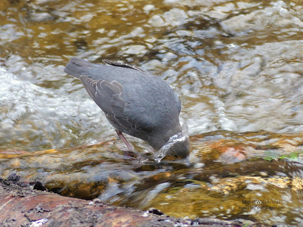
Typical Fraser Valley wildlife: black bears, coyotes, deer, small mammals, and a variety of birds. Practice standard wildlife awareness: store food securely, make noise on approach, and carry bear spray if in bear country.
Cities near American Creek Falls
Nearby Waterfalls
Writing about American Creek Falls? Embed this waterfall on your site for free.