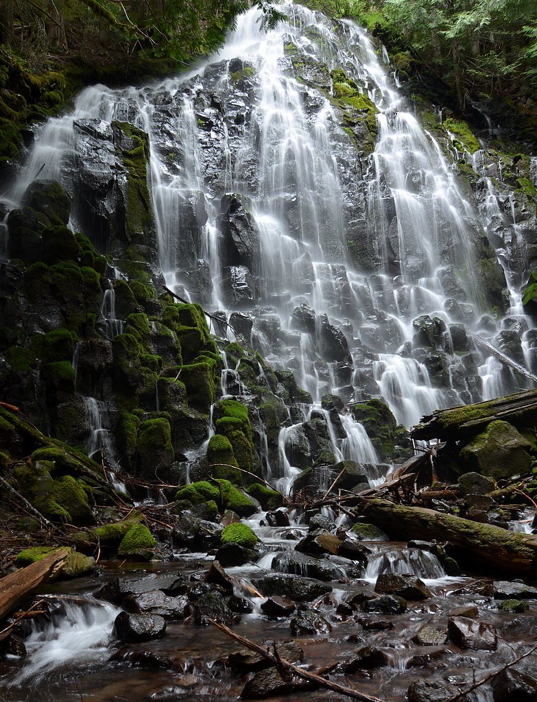
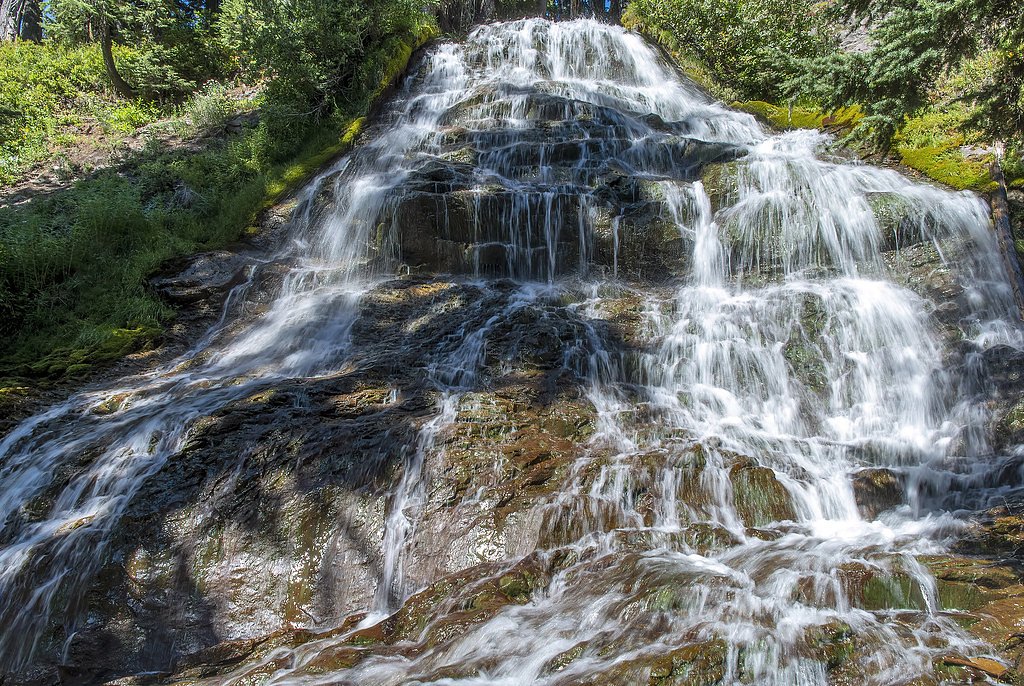
Yocum Falls
By Armen Suny · Last verified May 2026
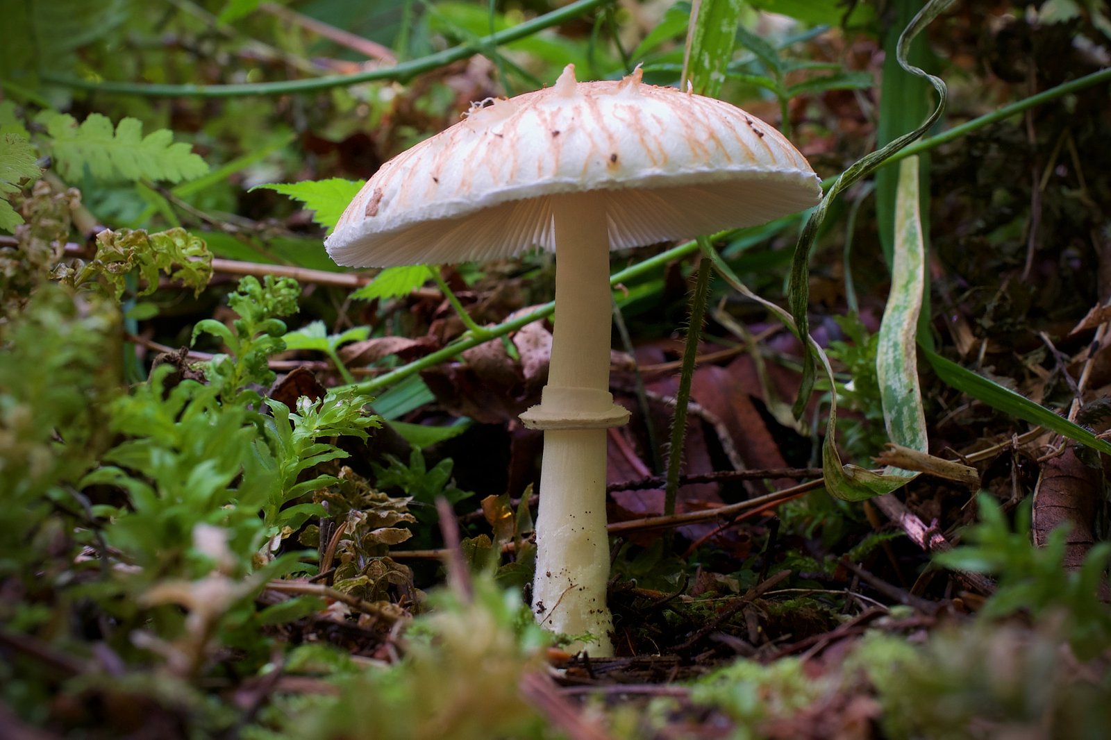
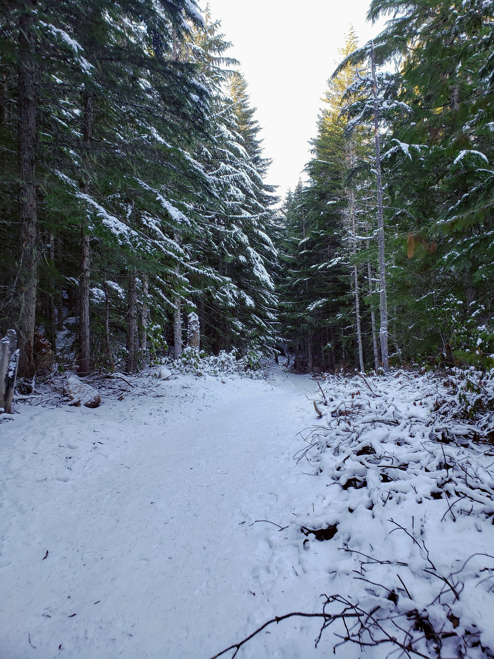
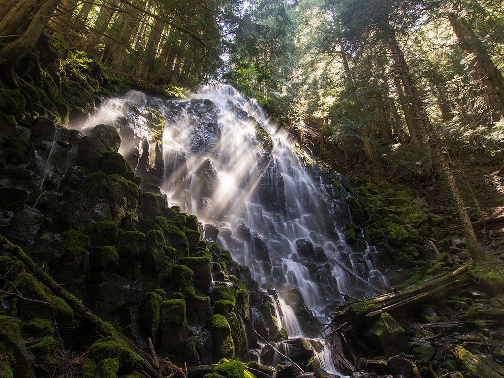

Photo Credits (5)
Difficulty
Moderate
Trail Length
2.4 miles
Trail Type
Out And Back
Elevation Gain
350 ft
About Yocum Falls
Yocum Falls sits in the heart of Mount Hood National Forest (Clackamas County), tucked into the lush Zigzag Canyon where a string of cascades — including Little Zigzag Falls and the well-known Ramona Falls — help define the landscape. Managed by the U.S. Forest Service, the waterfall and surrounding ridgelines (including nearby Yocum Ridge) take their name from businessman Oliver C. Yocum, a local namesake noted in regional histories. The setting feels intimate and forested, making the falls an easy, rewarding stop for travelers exploring the Mount Hood area. Access to the viewpoint is pleasantly brief: the USFS Mirror Lake Trail (Trail #664) provides the primary approach, and many visitors treat Yocum Falls as a short side trip while hiking nearby routes. If you’re camping, Camp Creek Campground lies about 5.81 km away, offering a convenient base for an afternoon visit or a longer day on nearby trails.
The Setting
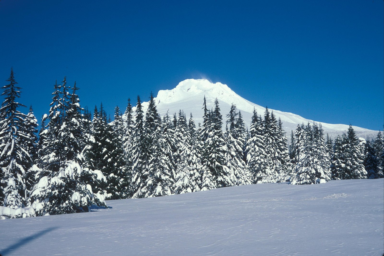
Yocum Falls sits at 3,356 feet within Mt. Hood National Forest, fed by the Blazed Alder Creek, in the mountains of Oregon.
Nearby Falls Worth Visiting
Sahale Falls (140 ft) lies 7.5 miles to the east. Also nearby: Ramona Falls (120 ft, 5.1 mi) and Umbrella Falls (60 ft, 6.6 mi).
Trail & Hike Details
The Approach
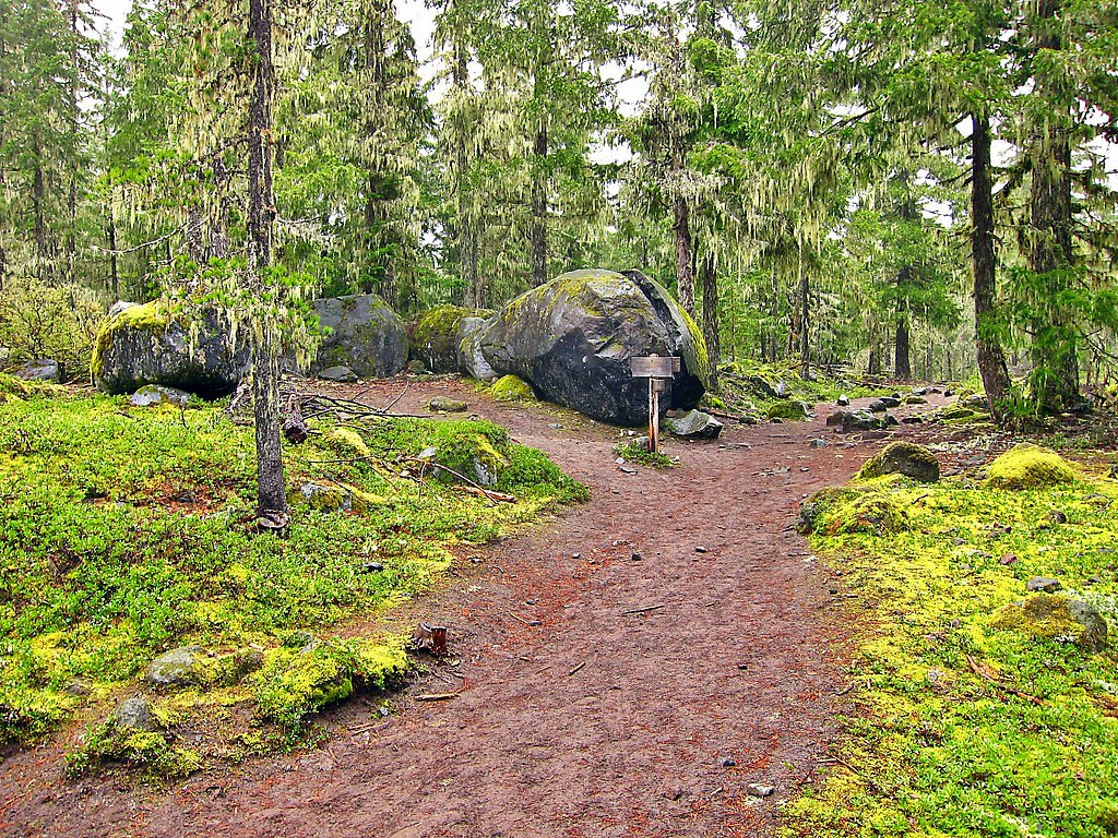
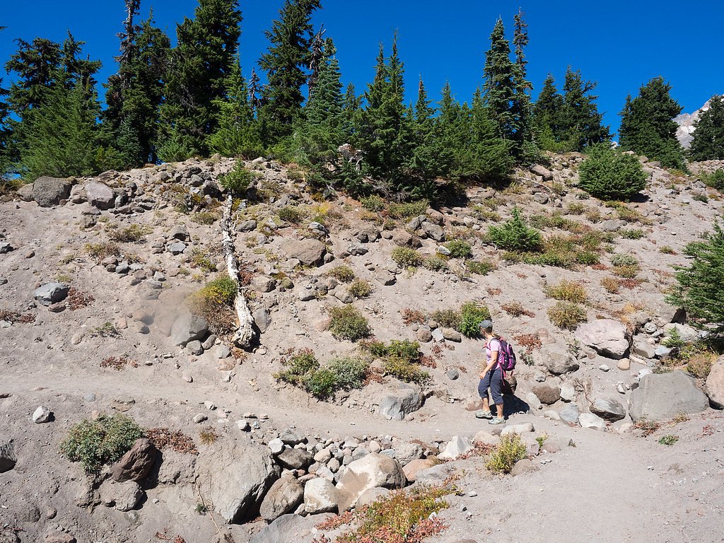
The moderate hike follows Mirror Lake (#664), a 2.4-mile out-and-back trail over natural surface. Expect 350 feet of elevation gain with grades of 10-12%. The trail is moderately developed (Class 2).
USFS Trail
MIRROR LAKE #664
Trail Class
Moderately Developed
Surface
Avg Grade
USFS Segment
0.05 miTrail Description
The signed approach to Yocum Falls follows USFS Mirror Lake Trail #664; the spur to the falls is very short (GIS 0.05 miles) and classified as Class 2. The tread is native material with a typical grade of 10–12%, making it a brief, mostly straightforward walk from the trailhead or roadside parking. Many hikers combine this short viewpoint with a longer out-and-back route in the area (approximately 2.4 miles total, ~350 ft elevation gain, rated moderate) to enjoy additional scenery in Mount Hood National Forest.
What to Expect
Dogs are welcome.
Accessibility
The trail is not wheelchair accessible. Uneven terrain and elevation changes require steady footing.
Frequently Asked Questions
🐶 Are Dogs Allowed at Yocum Falls?
✅ Dogs are allowed
Are There Any Fees or Permits Required?
🆖 No fees required
🏊 Is There Swimming at Yocum Falls?
❌ Swimming is not allowed
When to Visit
Spring and early summer are ideal times to visit, as the waterfall is typically at its fullest due to snowmelt. However, the falls can be enjoyed year-round.
Seasonal Access
The best time to visit is Spring, Summer, Fall, and Winter. Check with Mt. Hood National Forest for seasonal road closures.
Safety Information
Exercise caution when parking and walking near the highway. The area around the falls can be slippery, especially during wet conditions. Stay on designated paths and avoid climbing on rocks near the falls.
Current Water Conditions
8 ft³/s
Current discharge — how much water is flowing
Much lower than usual for this time of year
Based on 62 years of record
1.26 ft
Water depth at gauge
7-Day Discharge Trend
What does this mean for your visit?
Flow is well below normal for this time of year, so the waterfall may be a trickle.
About This Gauge
This gauge is on a nearby waterway and may not reflect exact conditions at the falls.
7-Day Flow Outlook
Based on the USGS gauge BLAZED ALDER CREEK NEAR RHODODENDRON, OR (18 km away).
Today
Barely Flowing
8 cfs
5/10Tomorrow
Barely Flowing
8 cfs
5/10Tue
Barely Flowing
8 cfs
5/10Wed
Barely Flowing
8 cfs
5/10Thu
Barely Flowing
7 cfs
5/10Fri
Barely Flowing
7 cfs
3/10Sat
Low
8 cfs
4/10Best window: Today — barely flowing flow, sunny (trip score 5/10).
Best time of year: this gauge typically runs highest from late April to mid May, peaking in April.
How we calculate this
This is a transparent outlook, not a precise forecast. We take the waterfall's current flow strength (how it ranks against its historical normal for today, from the nearest USGS stream gauge), carry that ranking forward along the gauge's seasonal curve, and nudge it for forecast rain. Confidence is highest for the next day or two and falls further out. Always check official conditions and your own judgment before visiting — high flows can be dangerous.
Know when to go.
Get a free email alert when waterfalls near Government Camp hit peak flow. We only send when conditions are worth the trip — no weekly newsletters, no spam.
Weather Forecast
Location & Access
Getting There
Yocum Falls is located along Highway 35 near Mount Hood, Oregon. It is visible from the road and requires minimal effort to access.
Get Directions on Google MapsParking
There is limited roadside parking available near the falls. Visitors should exercise caution when parking and exiting their vehicles as the area is adjacent to a highway.
Elevation
3,356 feet above sea level
Coordinates
45.307101° N, -121.792970° W
Land Management
Managed by USFS
Visitor Tips & Gear
Arrive early to secure parking, especially during peak seasons. Be cautious when parking and walking near the highway. Wear sturdy shoes if you plan to explore the area around the falls.
As an Amazon Associate, we earn from qualifying purchases.
With 2.4 miles and 350 ft of elevation gain, sturdy boots and trekking poles will help on this moderate trail. Icy conditions are common in winter — traction cleats are a smart addition.

Columbia Watertight II Rain Jacket
Packs into its own pocket, seam-sealed, and keeps you dry from spray and surprise rain.

Polarized Sunglasses (Knockaround)
Cuts glare off the water so you actually see the falls — and your photos turn out better too.

Earth Pak Waterproof Dry Bag
Keeps your phone and gear dry when waterfall mist soaks everything else.

Waterproof Phone Pouch (AiRunTech)
Cheap insurance — take photos right next to the falls without killing your phone.

Timberland Euro Sprint Mid Waterproof
Trusted waterproof boot with premium leather and grippy rubber sole — reliable on rocky, wet trails.

TrailBuddy Trekking Poles
Lightweight aluminum, cork grips, and flip-locks that actually hold — a best-seller for good reason.
Where to Stay

Best Western Mt. Hood Inn

Mount Hood Village

Serene Wooded Retreat with Free WiFi Large Deck & Spacious Loft - Skiing Nearby

Sno-bird #8
Browse vacation cabins and private rentals nearby
Unique outdoor stays — tents, yurts, and treehouses
Rent a campervan or RV for your waterfall road trip
Some links are affiliate links. We may earn a commission at no extra cost to you.
Nearby Campground
CAMP CREEK
3.6 miles away · 24 sites
Overview The Camp Creek Campground sits next to a babbling forest creek in the country's scenic Pacific Northwest region. The campground is not far from the base of the majestic, snow-covered Mt. Hood, Oregon's highest point and a prominent landmark of the area. A variety of recreational activities surround the campground, including hiking, biking and horseback riding trails, scenic views and points of exploration.Recreation Surrounding the campground are a variety of hiking and mountain biking t
Book on Recreation.govNearby Hot Springs
Hot springs near Government Camp, Oregon

Swim Warm Springs
Swim Warm Springs emerges at 79°F within Mount Hood National Forest at 4,063 feet elevation, flowing just 6.9 meters from White...

Mount Hood Fumaroles
Mount Hood Fumaroles vent at 194°F from the flanks of Oregon's highest peak, among the state's most extreme geothermal features...
St Martins Hot Springs
St. Martins Hot Springs flows at 120 degrees Fahrenheit at just 432 feet elevation in the Columbia River Gorge near Carson in S...

Collins Hot Springs
Collins Hot Springs emerges at 122 degrees just 127 feet above sea level in the Columbia River Gorge, producing water 68.4 degr...

Austin Hot Springs
Austin Hot Springs discharges at 186°F along the Clackamas River at 1,680 feet elevation, emerging just 310 feet from Clackamas...
Moffetts (Bonneville) Hot Springs
Moffetts Hot Springs, also called Bonneville Hot Springs, flows at 97 degrees in the Gifford Pinchot National Forest at just 75...
Looking for a soak after your hike? Explore more hot springs near Government Camp, Oregon on SoakingSprings.
Explore Oregon springsAdditional Information
Nearby Attractions
Nearby attractions include Mount Hood, Trillium Lake, and the Timberline Lodge.
Wildlife
The area around Yocum Falls is home to various wildlife, including birds, deer, and small mammals. Visitors should respect the natural habitat.
Cities near Yocum Falls
Nearby Waterfalls
Writing about Yocum Falls? Embed this waterfall on your site for free.