Tannery Falls
Massachusetts • 80 ft
By Armen Suny · Last verified Mar 2026
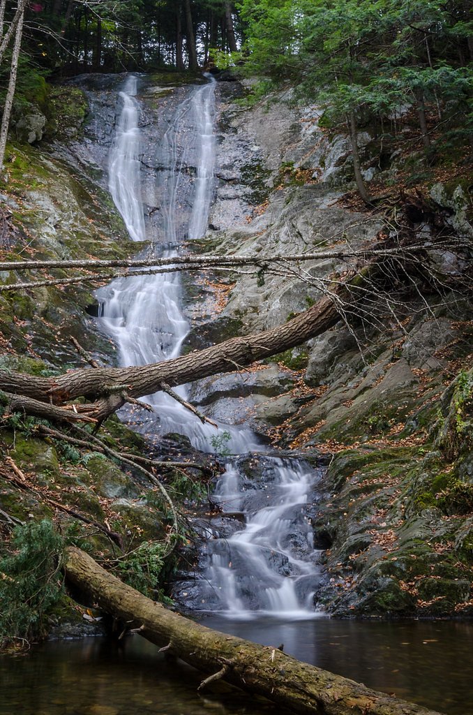
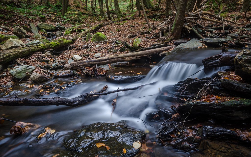
Photo Credits (5)
Difficulty
Easy
Trail Length
0.4 miles
Trail Type
Out And Back
Elevation Gain
100 ft
About Tannery Falls
Tannery Falls is a picturesque waterfall located in Savoy Mountain State Forest, Massachusetts. It features a cascading drop surrounded by lush forest, making it a popular destination for nature enthusiasts and photographers.
The Setting
Tannery Falls sits at 1,358 feet within Savoy Mountain State Forest, fed by the Cold River, in the foothills of Massachusetts. The falls drop 80 feet.
Height: 80 feet
Trail & Hike Details
The Approach
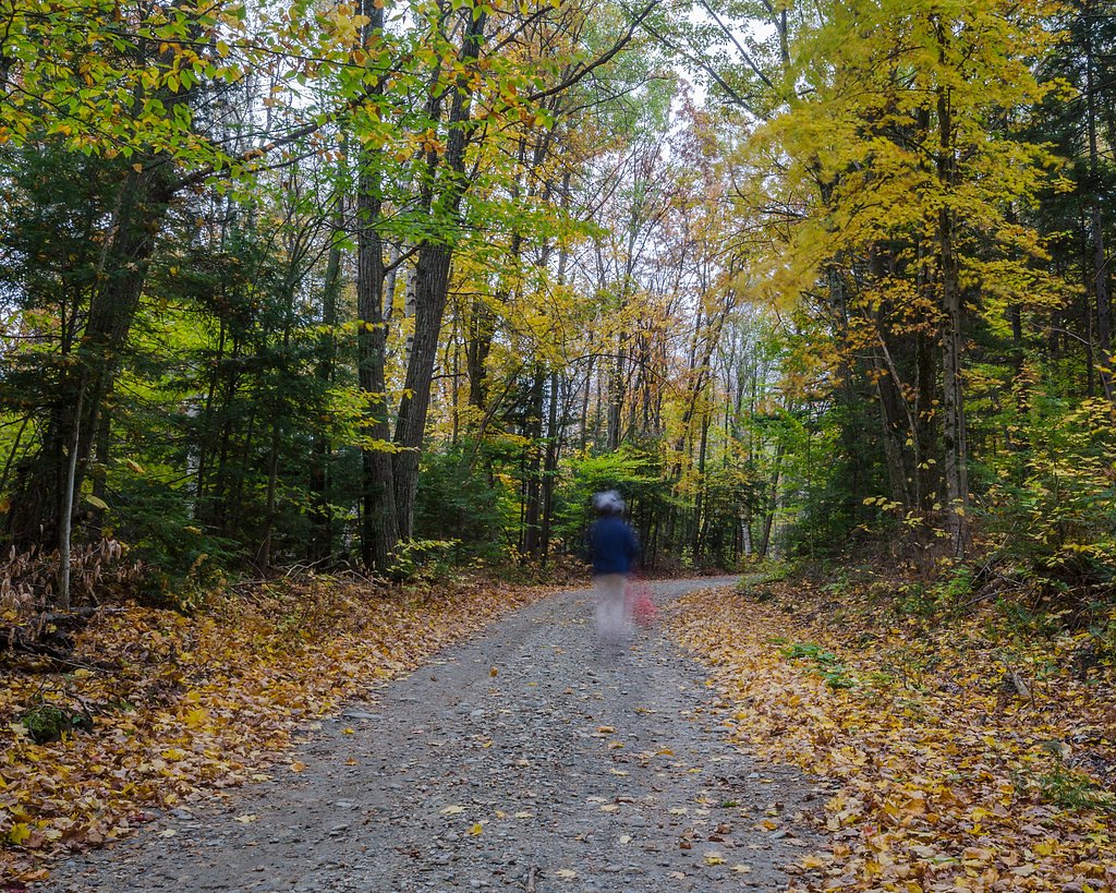
The easy 0.4-mile out-and-back trail gains 100 feet of elevation on the way to the falls.
Trail Description
The trail to Tannery Falls is short and relatively easy, with a gentle descent to the base of the falls. The path may be uneven and muddy, especially after rain, so sturdy footwear is recommended.
What to Expect
The falls cascade 80 feet. Dogs are welcome.
Accessibility
The trail is short and relatively flat, but the surface may be uneven. Contact the managing agency for accessibility details.
Frequently Asked Questions
🐶 Are Dogs Allowed at Tannery Falls?
✅ Dogs are allowed
Are There Any Fees or Permits Required?
🆖 No fees required
🏊 Is There Swimming at Tannery Falls?
❌ Swimming is not allowed
When to Visit
Spring and early summer are the best times to visit, as the water flow is strongest during these seasons. Fall offers beautiful foliage, while winter may provide a unique view of the frozen falls.
Seasonal Access
The best time to visit is Spring, Summer, and Fall. Winter access may be limited.
Safety Information
The rocks around the falls can be slippery, especially when wet. Exercise caution and avoid climbing on the rocks. Check trail conditions before visiting, as the area may be muddy or icy depending on the season.
Current Water Conditions
3 ft³/s
Current discharge — how much water is flowing
About average for this time of year
Based on 11 years of record
3.56 ft
Water depth at gauge
59°F
ColdBracing — limit time in water
7-Day Discharge Trend
What does this mean for your visit?
Flow is about average for this time of year. Water temperature is a bracing 59 degrees F, limit your time in the water. Mineral content is typical.
Water Quality
Conductance
Dissolved minerals in the water
About This Gauge
7-Day Flow Outlook
Based on the USGS gauge COLD RIVER AT FLORIDA, MA (5 km away).
Today
Moderate
4 cfs
4/10Tomorrow
Moderate
5 cfs
4/10Thu
Moderate
5 cfs
5/10Fri
Low
5 cfs
6/10Sat
Moderate
4 cfs
4/10Sun
Moderate
4 cfs
4/10Mon
Moderate
3 cfs
4/10Best window: Fri — low flow, sunny (trip score 6/10).
Best time of year: this gauge typically runs highest from late March to late April, peaking in April.
How we calculate this
This is a transparent outlook, not a precise forecast. We take the waterfall's current flow strength (how it ranks against its historical normal for today, from the nearest USGS stream gauge), carry that ranking forward along the gauge's seasonal curve, and nudge it for forecast rain. Confidence is highest for the next day or two and falls further out. Always check official conditions and your own judgment before visiting — high flows can be dangerous.
Know when to go.
Get a free email alert when waterfalls near North Adams hit peak flow. We only send when conditions are worth the trip — no weekly newsletters, no spam.
Weather Forecast
Location & Access
Getting There
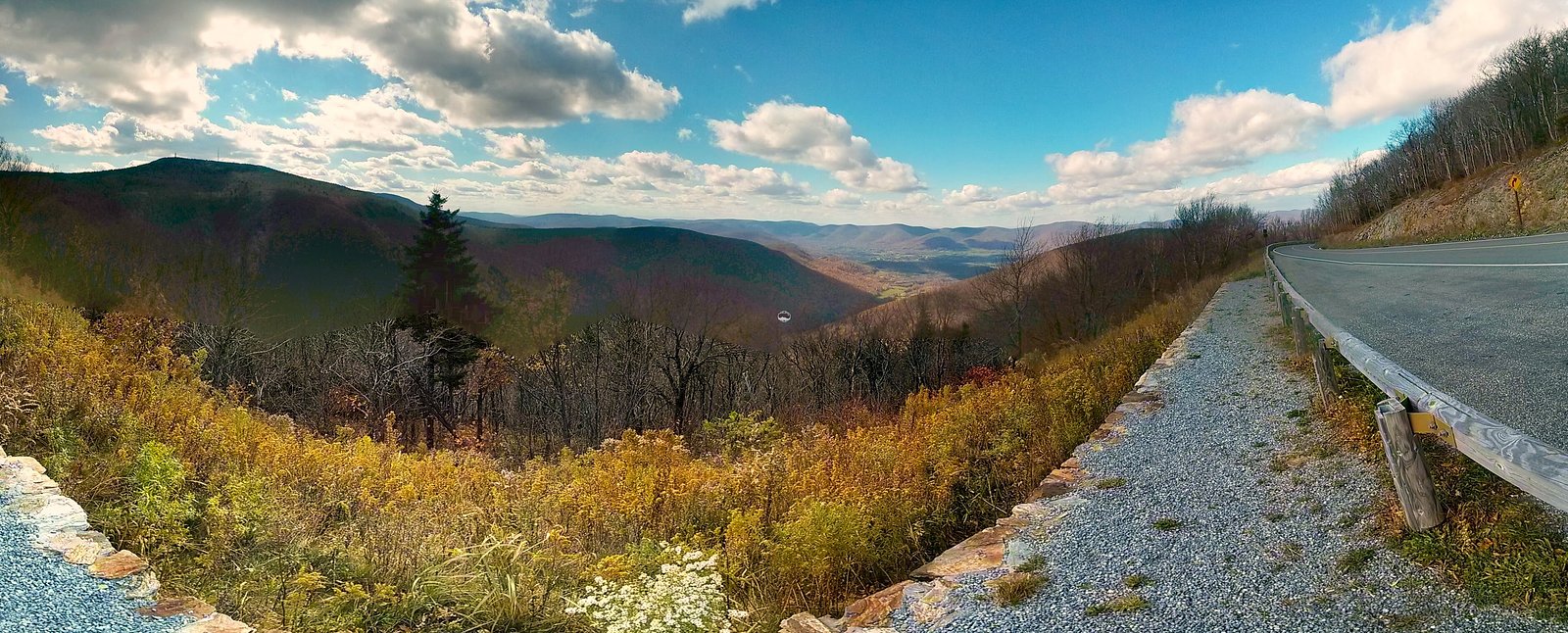
Tannery Falls is located within Savoy Mountain State Forest. Visitors can access the falls via Tannery Road, which may be unpaved and rough in certain sections. It is recommended to check road conditions before visiting.
Get Directions on Google MapsParking
There is a small parking area near the trailhead for Tannery Falls. Parking may be limited during peak seasons.
Elevation
1,358 feet above sea level
Coordinates
42.624528° N, -73.003433° W
Land Management
Managed by UNK
Visitor Tips & Gear
Visit early in the day to avoid crowds, especially during weekends. Bring sturdy shoes, as the trail can be muddy. Check road and trail conditions before heading out, particularly in winter or after heavy rain.
As an Amazon Associate, we earn from qualifying purchases.
For this easy 0.4 miles trail, lightweight trail shoes and a water bottle are usually sufficient. Sun exposure on the trail makes good sun protection a must in summer.

Polarized Sunglasses (Knockaround)
Cuts glare off the water so you actually see the falls — and your photos turn out better too.

Columbia Watertight II Rain Jacket
Packs into its own pocket, seam-sealed, and keeps you dry from spray and surprise rain.

Earth Pak Waterproof Dry Bag
Keeps your phone and gear dry when waterfall mist soaks everything else.

Waterproof Phone Pouch (AiRunTech)
Cheap insurance — take photos right next to the falls without killing your phone.

JOBY GorillaPod Starter Kit
Wraps around railings and rocks for long-exposure waterfall shots — no flat surface needed.

Osprey Daylite Daypack
Light, organized, and just the right size for a day hike — fits water, snacks, and layers.
Where to Stay

Vacation Village in the Berkshires

Blooming Inn Shelburne Falls

Harbour House Inn B&B

The Wilmington Inn
Browse vacation cabins and private rentals nearby
Unique outdoor stays — tents, yurts, and treehouses
Rent a campervan or RV for your waterfall road trip
Some links are affiliate links. We may earn a commission at no extra cost to you.
Nearby Campground
INDIAN HOLLOW
21 miles away · 2 sites
Overview With abundant wildlife, lush scenery and waterfront views, Indian Hollow Group Campground, located at the Knightville Dam and Reservoir, offers groups and clubs a recreational oasis.Recreation The rivers and streams at Knightville offer excellent trout fishing, and the river is stocked with trout in both the spring and fall. The surrounding hills provide prime upland game habitat, and the Commonwealth of Massachusetts stocks pheasants for the fall hunting season. Hunting and fishing are
Book on Recreation.govNearby Hot Springs
Hot springs near North Adams, Massachusetts
Sand Spring
Sand Spring surfaces at 75°F in Williamstown, Massachusetts — one of the few thermal features in New England. At just 670 feet ...

Lebanon Spring
Lebanon Spring discharges at 72°F at 663 feet elevation in Columbia County, flowing 24 degrees above ambient air temperature ju...
Looking for a soak after your hike? Explore more hot springs near North Adams, Massachusetts on SoakingSprings.
Explore Massachusetts springsAdditional Information
Nearby Attractions
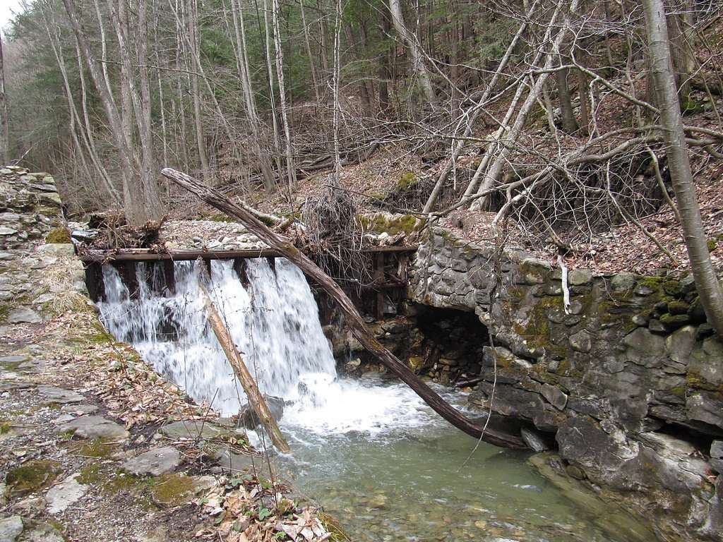
Other attractions in Savoy Mountain State Forest include Parker Brook Falls and several hiking trails. The nearby town of Adams offers additional amenities and dining options.
Wildlife
The area is home to a variety of wildlife, including birds, deer, and small mammals. Be cautious of ticks and other insects.
Cities near Tannery Falls
Nearby Waterfalls

Other waterfalls named Tannery Falls
1 other waterfall shares this name across the U.S.
Writing about Tannery Falls? Embed this waterfall on your site for free.