
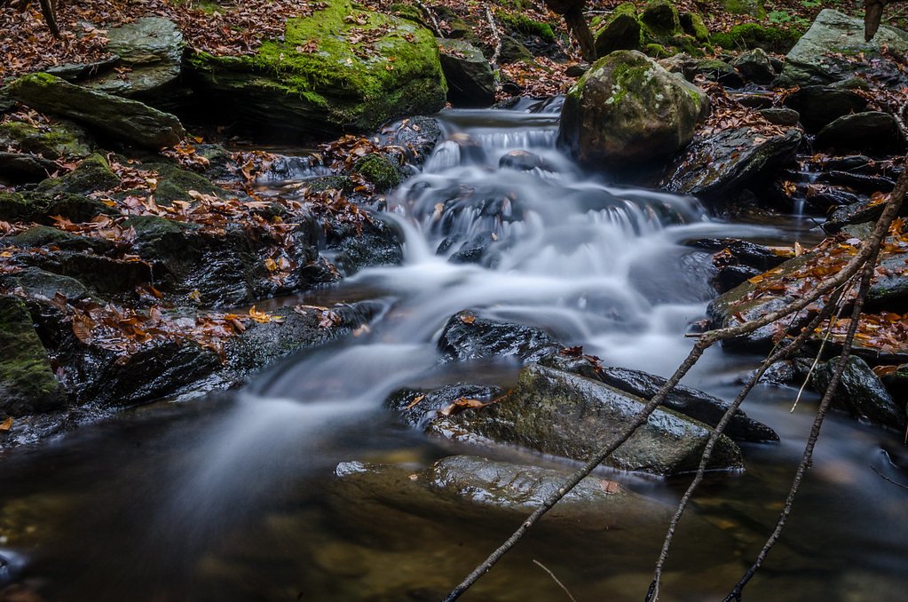
Wahconah Falls
Massachusetts • 40 ft
By Armen Suny · Last verified Mar 2026
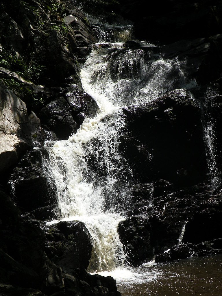
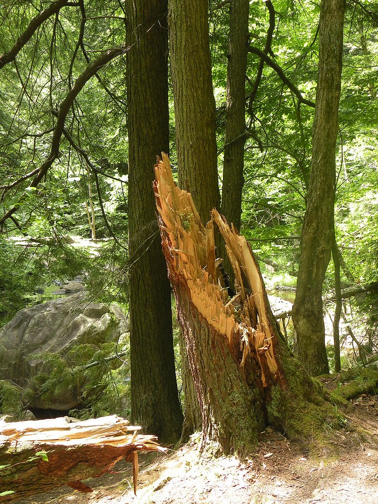
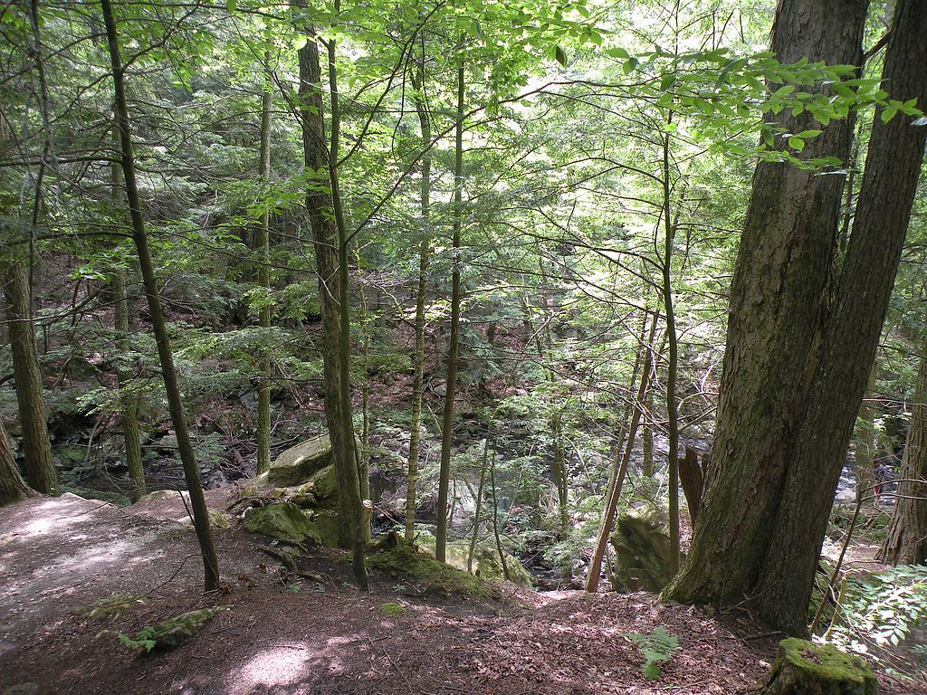
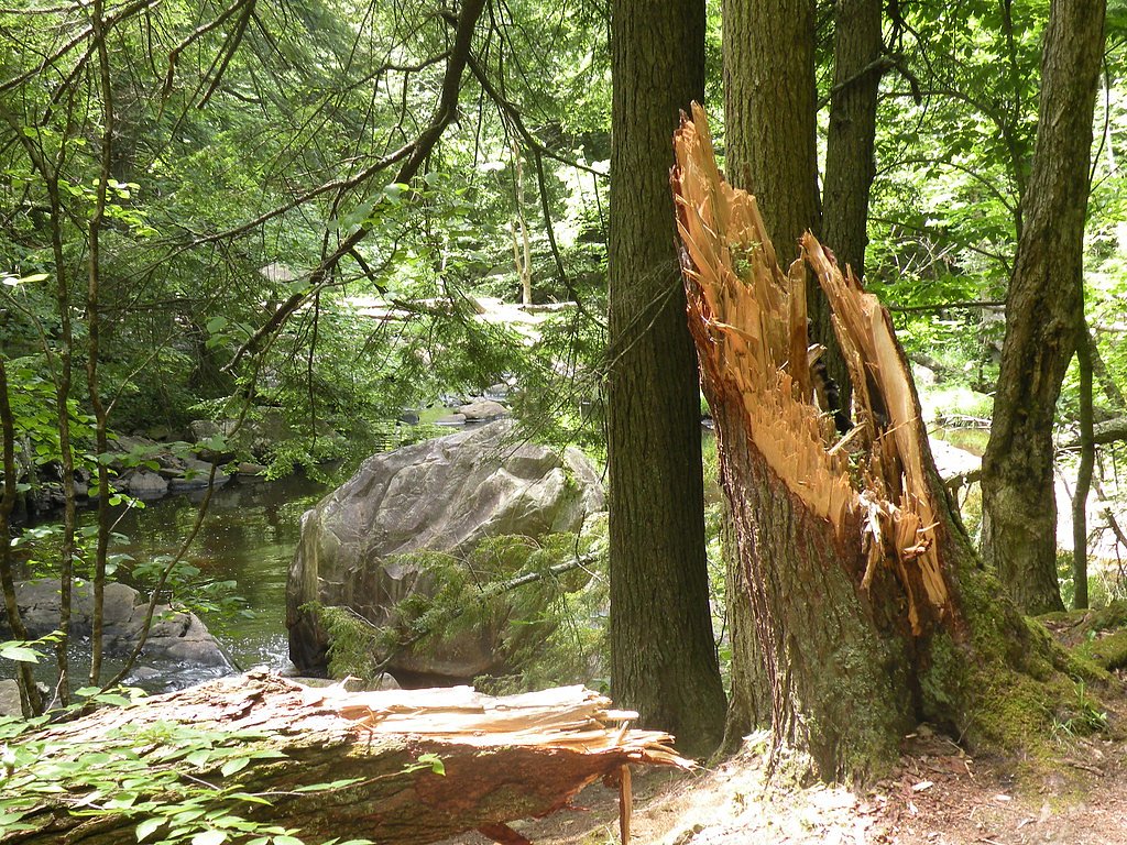

Photo Credits (5)
Difficulty
Moderate
Trail Length
2.4 miles
Trail Type
Out And Back
Elevation Gain
350 ft
About Wahconah Falls
Wahconah Falls is a picturesque waterfall located in Wahconah Falls State Park in Dalton, Massachusetts. The falls cascade over a series of rock ledges, creating a beautiful and serene natural setting. It is a popular destination for nature lovers and photographers.
The Setting
Wahconah Falls sits at 1,319 feet within Wahconah Falls State Park, fed by the East Branch Housatonic River, in the foothills of Massachusetts. The falls drop 40 feet.
Height: 40 feet
Nearby Falls Worth Visiting
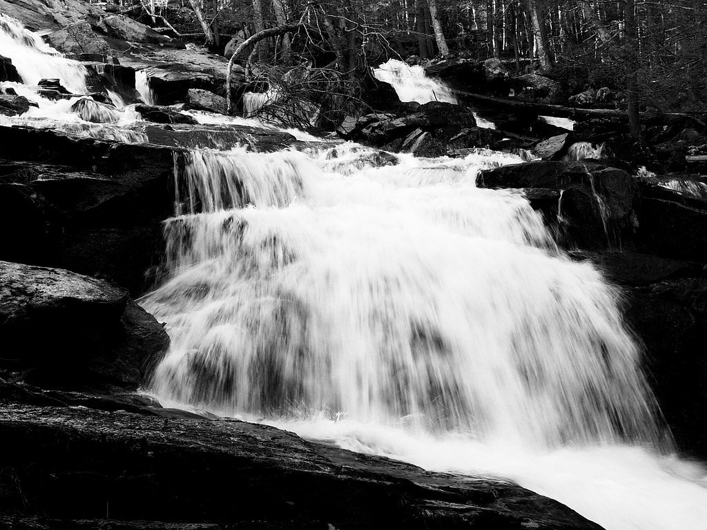
Tannery Falls, the tallest waterfall in Massachusetts at 80 feet, lies 11.0 miles to the northeast.
Trail & Hike Details
The Approach
The moderate 2.4-mile out-and-back trail gains 350 feet of elevation on the way to the falls.
Trail Description
The trail to Wahconah Falls is short and easy, making it suitable for visitors of all ages. It follows a well-maintained path through a wooded area, leading directly to the base of the falls. The trail is relatively flat with minimal elevation gain.
What to Expect
The falls drop 40 feet. Dogs are welcome.
Accessibility
The trail is not wheelchair accessible. Uneven terrain and elevation changes require steady footing.
Frequently Asked Questions
🐶 Are Dogs Allowed at Wahconah Falls?
✅ Dogs are allowed
Are There Any Fees or Permits Required?
🆖 No fees required
🏊 Is There Swimming at Wahconah Falls?
❌ Swimming is not allowed
When to Visit
Spring and early summer are the best times to visit Wahconah Falls, as the water flow is typically strongest during these seasons.
Seasonal Access
The best time to visit is Spring, Summer, Fall, and Winter.
Safety Information
The rocks near the falls can be slippery, especially after rain. Exercise caution and stay on marked trails. Avoid climbing on the rocks near the falls.
Current Water Conditions
25 ft³/s
Current discharge — how much water is flowing
About average for this time of year
Based on 90 years of record
0.61 ft
Water depth at gauge
7-Day Discharge Trend
What does this mean for your visit?
Flow is about average for this time of year.
About This Gauge
7-Day Flow Outlook
Based on the USGS gauge EAST BRANCH HOUSATONIC RIVER AT COLTSVILLE, MA (7 km away).
Today
Low
29 cfs
3/10Tomorrow
Low
30 cfs
3/10Thu
Low
25 cfs
6/10Fri
Barely Flowing
24 cfs
5/10Sat
Low
23 cfs
3/10Sun
Low
27 cfs
3/10Mon
Low
27 cfs
4/10Best window: Thu — low flow, sunny (trip score 6/10).
Best time of year: this gauge typically runs highest from early March to late May, peaking in April.
How we calculate this
This is a transparent outlook, not a precise forecast. We take the waterfall's current flow strength (how it ranks against its historical normal for today, from the nearest USGS stream gauge), carry that ranking forward along the gauge's seasonal curve, and nudge it for forecast rain. Confidence is highest for the next day or two and falls further out. Always check official conditions and your own judgment before visiting — high flows can be dangerous.
Know when to go.
Get a free email alert when waterfalls near Pittsfield hit peak flow. We only send when conditions are worth the trip — no weekly newsletters, no spam.
Weather Forecast
Location & Access
Getting There
Wahconah Falls is located off Wahconah Falls Road in Dalton, Massachusetts. It is easily accessible by car, and the trailhead is near the parking area.
Get Directions on Google MapsParking
There is a small parking lot available near the trailhead, which provides easy access to the falls.
Elevation
1,319 feet above sea level
Coordinates
42.487433° N, -73.114591° W
Land Management
Managed by UNK
Visitor Tips & Gear
Visit during the spring or after heavy rainfall for the most impressive water flow. Wear sturdy shoes as the area near the falls can be slippery. Arrive early during peak seasons to secure parking.
As an Amazon Associate, we earn from qualifying purchases.
With 2.4 miles and 350 ft of elevation gain, sturdy boots and trekking poles will help on this moderate trail. Icy conditions are common in winter — traction cleats are a smart addition.

Columbia Watertight II Rain Jacket
Packs into its own pocket, seam-sealed, and keeps you dry from spray and surprise rain.

Polarized Sunglasses (Knockaround)
Cuts glare off the water so you actually see the falls — and your photos turn out better too.

Earth Pak Waterproof Dry Bag
Keeps your phone and gear dry when waterfall mist soaks everything else.

Waterproof Phone Pouch (AiRunTech)
Cheap insurance — take photos right next to the falls without killing your phone.

Timberland Euro Sprint Mid Waterproof
Trusted waterproof boot with premium leather and grippy rubber sole — reliable on rocky, wet trails.

TrailBuddy Trekking Poles
Lightweight aluminum, cork grips, and flip-locks that actually hold — a best-seller for good reason.
Where to Stay

Vacation Village in the Berkshires

Berkshires Untold

Courtyard by Marriott Lenox Berkshires

Harbour House Inn B&B
Browse vacation cabins and private rentals nearby
Unique outdoor stays — tents, yurts, and treehouses
Rent a campervan or RV for your waterfall road trip
Some links are affiliate links. We may earn a commission at no extra cost to you.
Nearby Campground
INDIAN HOLLOW
16.9 miles away · 2 sites
Overview With abundant wildlife, lush scenery and waterfront views, Indian Hollow Group Campground, located at the Knightville Dam and Reservoir, offers groups and clubs a recreational oasis.Recreation The rivers and streams at Knightville offer excellent trout fishing, and the river is stocked with trout in both the spring and fall. The surrounding hills provide prime upland game habitat, and the Commonwealth of Massachusetts stocks pheasants for the fall hunting season. Hunting and fishing are
Book on Recreation.govNearby Hot Springs
Hot springs near Pittsfield, Massachusetts

Lebanon Spring
Lebanon Spring discharges at 72°F at 663 feet elevation in Columbia County, flowing 24 degrees above ambient air temperature ju...
Sand Spring
Sand Spring surfaces at 75°F in Williamstown, Massachusetts — one of the few thermal features in New England. At just 670 feet ...
Looking for a soak after your hike? Explore more hot springs near Pittsfield, Massachusetts on SoakingSprings.
Explore Massachusetts springsAdditional Information
Nearby Attractions
Nearby attractions include the Appalachian Trail, Pittsfield State Forest, and the town of Dalton.
Wildlife
The area is home to various bird species, small mammals, and forest wildlife. Visitors may also see wildflowers during the spring and summer.
Cities near Wahconah Falls
Nearby Waterfalls
Writing about Wahconah Falls? Embed this waterfall on your site for free.