Sturgeon Falls (historical)
By Armen Suny · Last verified May 2026
Difficulty
Moderate
Trail Length
2.4 miles
Trail Type
Out And Back
Elevation Gain
350 ft
About Sturgeon Falls (historical)
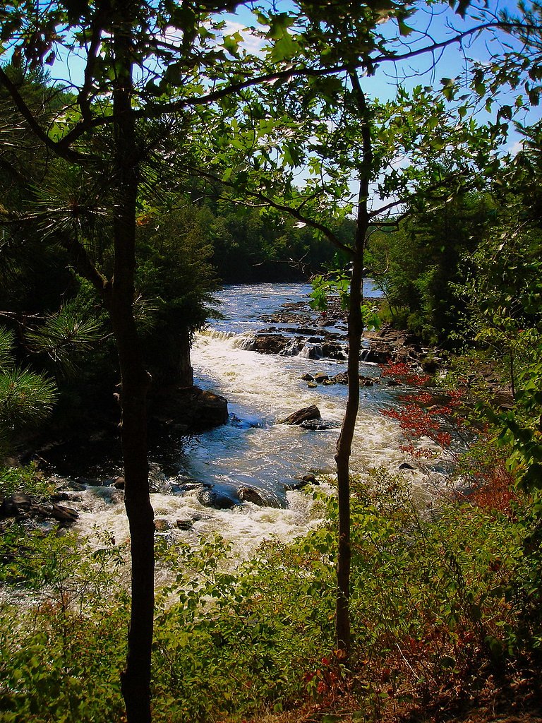
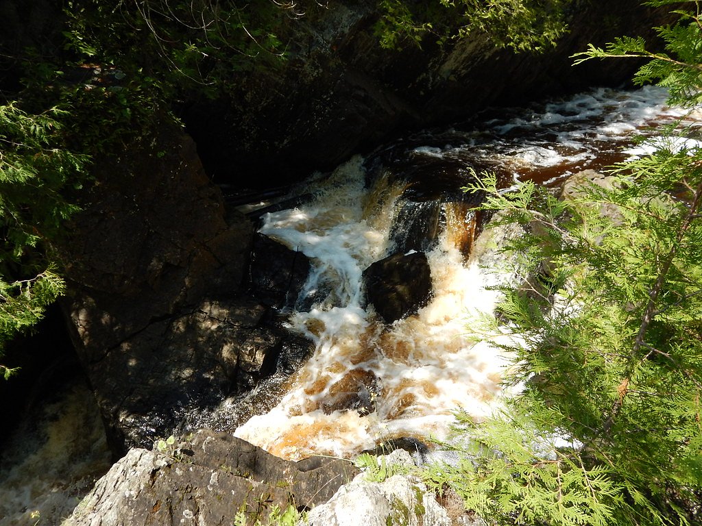
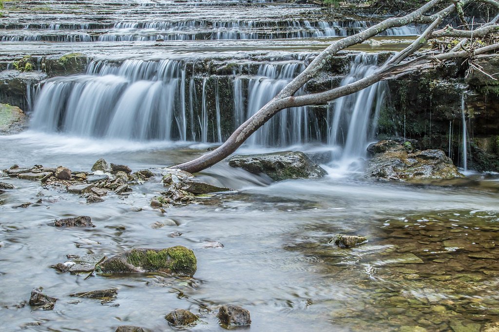
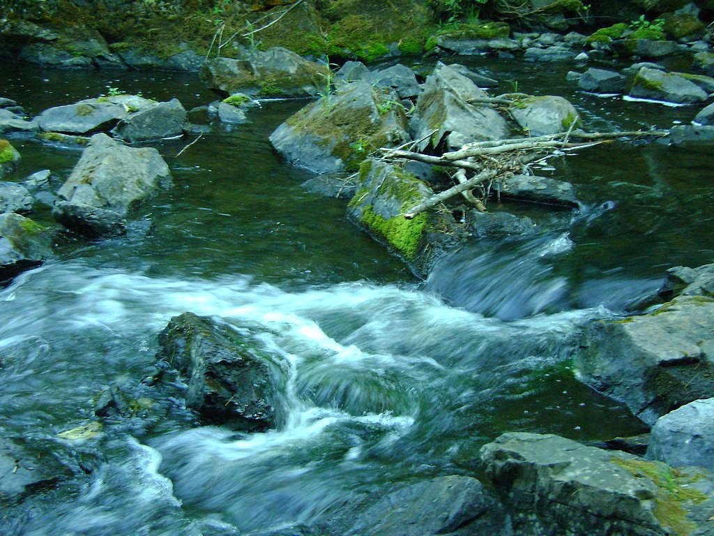
Sturgeon Falls, located in Wisconsin, is a historical waterfall site that was once a prominent feature of the Menominee River. The falls were submerged following the construction of a hydroelectric dam, and the area is now part of a reservoir. While the original waterfall no longer exists in its natural state, the site remains of historical and geographical interest.
The Setting
Sturgeon Falls (historical) sits at 801 feet along the Menominee River, in the foothills of Wisconsin.
Trail & Hike Details
The Approach
The moderate 2.4-mile out-and-back trail gains 350 feet of elevation on the way to the falls.
Trail Description
There is no specific trail to Sturgeon Falls as the original waterfall no longer exists. Visitors may explore the surrounding area near the reservoir or dam, but hiking opportunities are limited.
What to Expect
Visitors can expect to see the reservoir and dam that replaced the natural waterfall. The area may offer scenic views of the river and surrounding forest, but the original falls are no longer visible.
Accessibility
The trail is not wheelchair accessible. Uneven terrain and elevation changes require steady footing.
Frequently Asked Questions
🐶 Are Dogs Allowed at Sturgeon Falls (historical)?
❌ Dogs are not allowed
Are There Any Fees or Permits Required?
🆖 No fees required
🏊 Is There Swimming at Sturgeon Falls (historical)?
❌ Swimming is not allowed
When to Visit
The site can be visited year-round, but spring and summer may offer the best weather for exploring the surrounding area.
Seasonal Access
The best time to visit is Spring, Summer, Fall, and Winter.
Safety Information
Exercise caution near the reservoir and dam. Water levels and currents may be unpredictable, and swimming or wading may be unsafe. Follow all posted signs and guidelines.
Current Water Conditions
2,350 ft³/s
Current discharge — how much water is flowing
About average for this time of year
Based on 38 years of record
6.33 ft
Water depth at gauge
7-Day Discharge Trend
What does this mean for your visit?
Flow is about average for this time of year.
About This Gauge
7-Day Flow Outlook
Based on the USGS gauge MENOMINEE RIVER NEAR VULCAN, MI (1 km away).
Today
Moderate
2679 cfs
6/10Tomorrow
Moderate
2681 cfs
6/10Wed
Moderate
2619 cfs
6/10Thu
Moderate
2507 cfs
6/10Fri
Moderate
2482 cfs
6/10Sat
Moderate
2300 cfs
6/10Sun
Moderate
2263 cfs
6/10Best window: Today — moderate flow, chance showers and thunderstorms then mostly cloudy (trip score 6/10).
Best time of year: this gauge typically runs highest from late March to mid June, peaking in April.
How we calculate this
This is a transparent outlook, not a precise forecast. We take the waterfall's current flow strength (how it ranks against its historical normal for today, from the nearest USGS stream gauge), carry that ranking forward along the gauge's seasonal curve, and nudge it for forecast rain. Confidence is highest for the next day or two and falls further out. Always check official conditions and your own judgment before visiting — high flows can be dangerous.
Know when to go.
Get a free email alert when waterfalls near Norway hit peak flow. We only send when conditions are worth the trip — no weekly newsletters, no spam.
Weather Forecast
Location & Access
Getting There
Sturgeon Falls is located along the Menominee River near the Wisconsin-Michigan border. The site is accessible via local roads, but specific directions depend on the desired access point to the reservoir or dam area.
Get Directions on Google MapsParking
Parking availability may vary depending on the access point. Visitors should check with local authorities or the hydroelectric facility for parking options.
Elevation
801 feet above sea level
Coordinates
45.742182° N, -87.864846° W
Visitor Tips & Gear
Check with local authorities or the hydroelectric facility for access policies and parking information. Bring a map or GPS device as the area may have limited signage.
As an Amazon Associate, we earn from qualifying purchases.
With 2.4 miles and 350 ft of elevation gain, sturdy boots and trekking poles will help on this moderate trail. Icy conditions are common in winter — traction cleats are a smart addition.

Columbia Watertight II Rain Jacket
Packs into its own pocket, seam-sealed, and keeps you dry from spray and surprise rain.

Earth Pak Waterproof Dry Bag
Keeps your phone and gear dry when waterfall mist soaks everything else.

Waterproof Phone Pouch (AiRunTech)
Cheap insurance — take photos right next to the falls without killing your phone.

Timberland Euro Sprint Mid Waterproof
Trusted waterproof boot with premium leather and grippy rubber sole — reliable on rocky, wet trails.

TrailBuddy Trekking Poles
Lightweight aluminum, cork grips, and flip-locks that actually hold — a best-seller for good reason.

Kahtoola MICROspikes
Cult-favorite traction cleats that grip ice and wet rock — essential for winter waterfall hikes.
Where to Stay

Comfort Inn Iron Mountain North

Mountain Host Motor Inn

Four Seasons Island Resort

Motel 6 Norway MI
Browse vacation cabins and private rentals nearby
Unique outdoor stays — tents, yurts, and treehouses
Rent a campervan or RV for your waterfall road trip
Some links are affiliate links. We may earn a commission at no extra cost to you.
Additional Information
Nearby Attractions
The Menominee River offers other scenic spots and recreational opportunities, including fishing and boating. Nearby towns may have historical sites or local parks.
Wildlife
The area around the reservoir may host a variety of wildlife, including birds, fish, and small mammals.
Cities near Sturgeon Falls (historical)
Nearby Waterfalls
Writing about Sturgeon Falls (historical)? Embed this waterfall on your site for free.