Piers Gorge Falls
By Armen Suny · Last verified Mar 2026
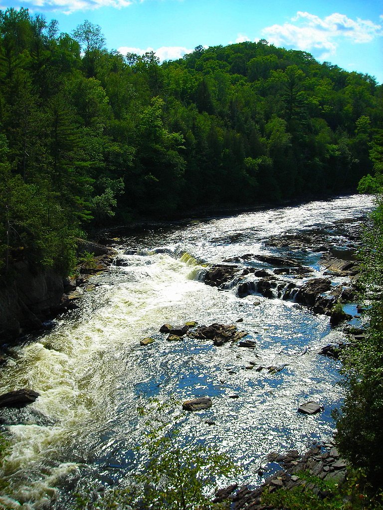
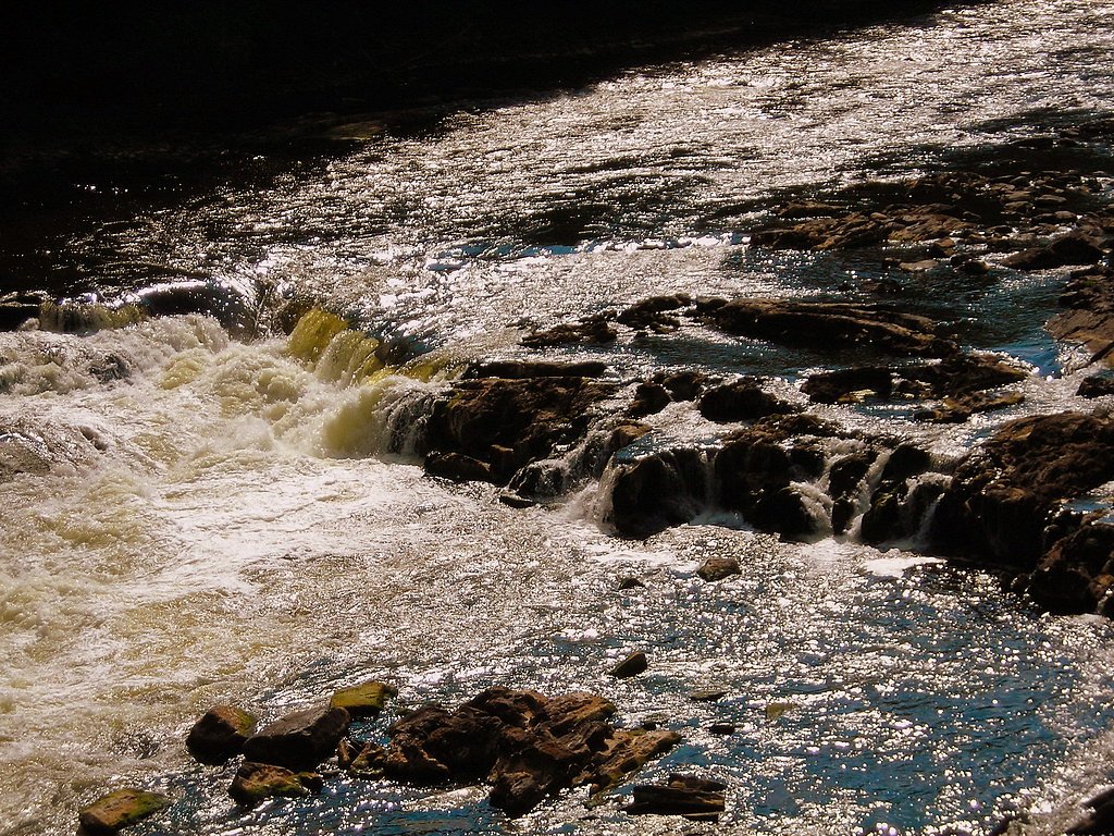
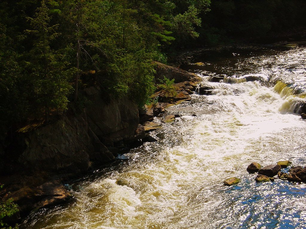
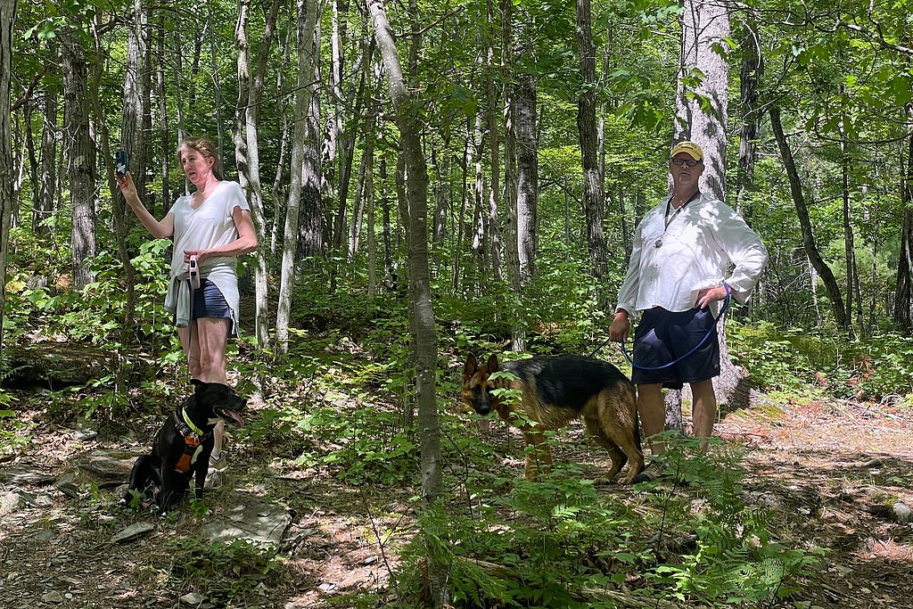
Photo Credits (5)
Difficulty
Moderate
Trail Length
2.4 miles
Trail Type
Out And Back
Elevation Gain
350 ft
About Piers Gorge Falls
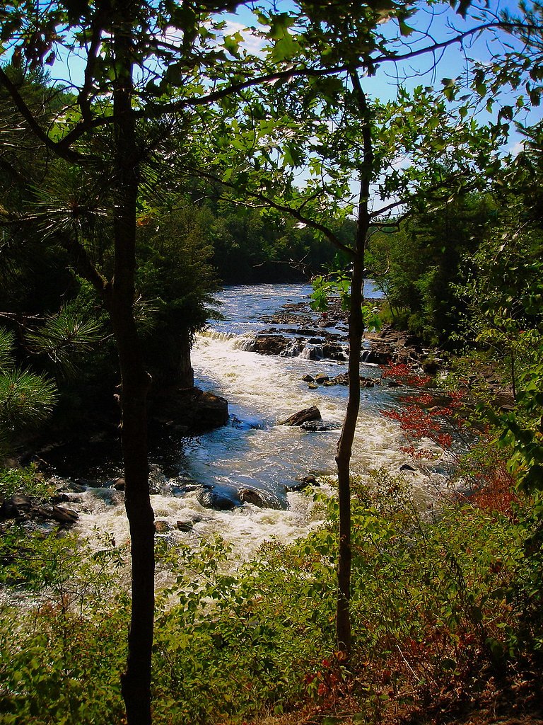
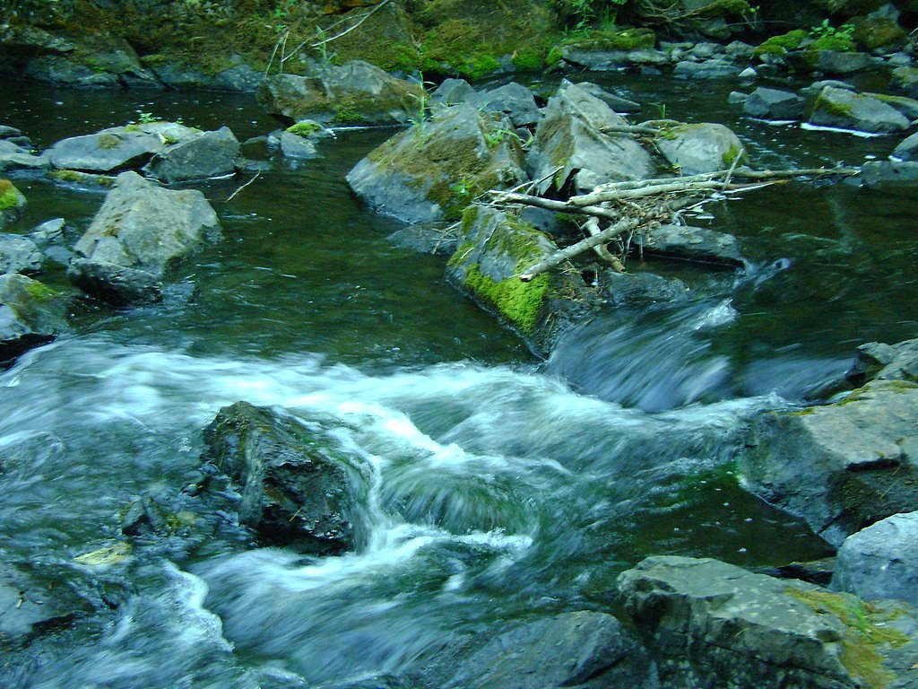
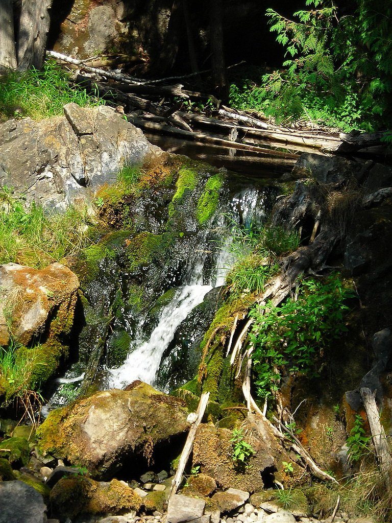
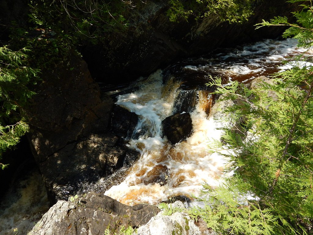
Piers Gorge Falls tumbles along the Menominee River — the waterway that marks much of the border between Michigan and Wisconsin — and is prized for its series of rapids and scenic cascades. The setting draws hikers, whitewater enthusiasts, and photographers who come to watch the river carve through rocky gorges; several viewpoints frame the rushing water, with the fourth gorge often noted for its dramatic flow. The falls and access corridor lie within the Menominee River Recreation Area, a State Recreation (SREC) land unit owned by SDNR and managed by SPR. Trail access is commonly made on a short out-and-back route that provides a compact, rewarding outing for visitors looking to experience the river’s energy and shoreline viewpoints.
The Setting
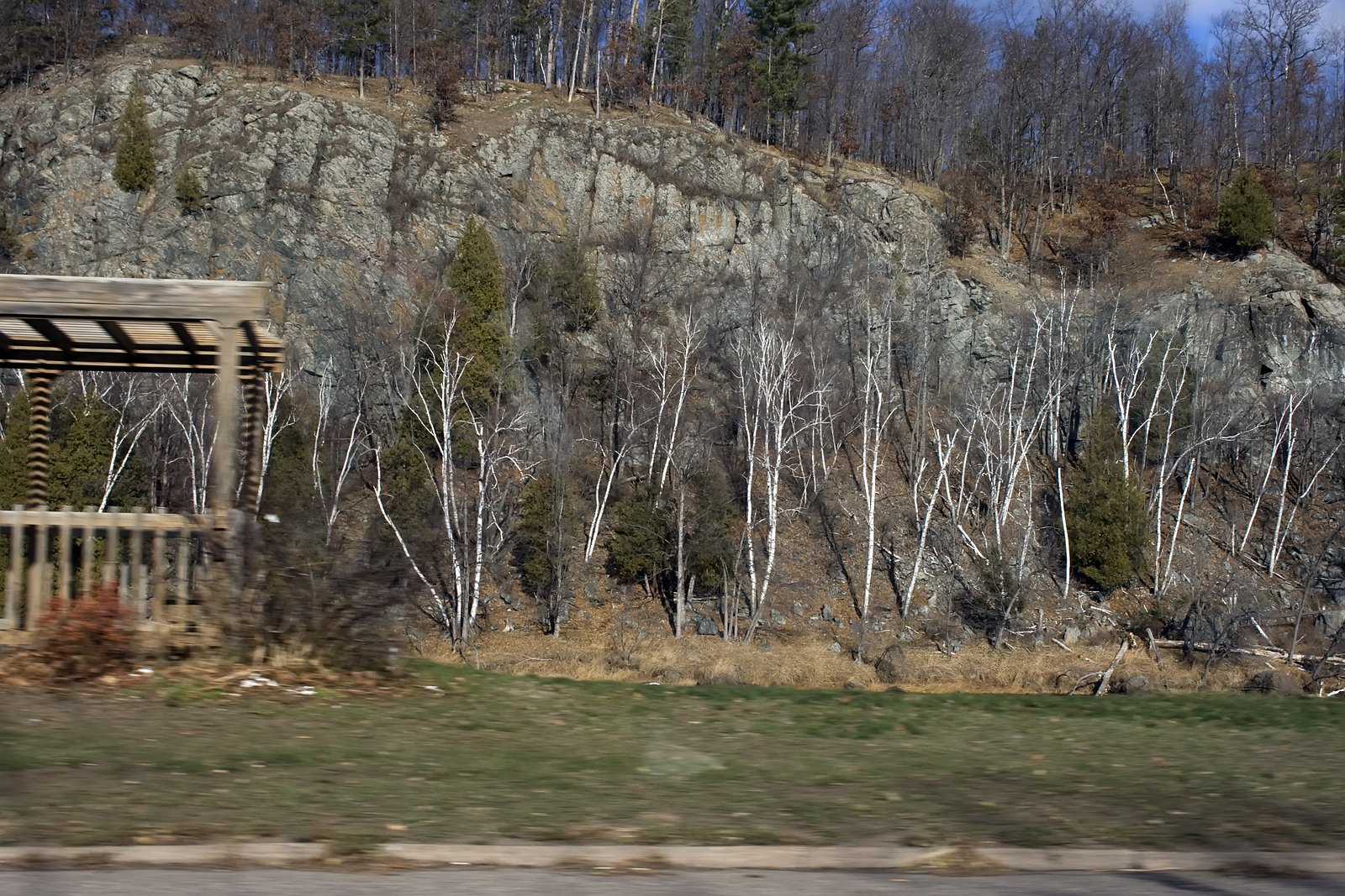
Piers Gorge Falls sits at 833 feet within Menominee River Recreation Area, fed by the Menominee River, in the foothills of Michigan.
Trail & Hike Details
The Approach
The moderate 2.4-mile out-and-back trail gains 350 feet of elevation on the way to the falls.
Trail Description
Trail type: out-and-back; distance: 2.4 miles round-trip; elevation gain: 350 feet; difficulty: moderate. The route follows the Menominee River with multiple river-facing viewpoints, including access to the series of gorges where the river’s power is most apparent (the fourth gorge is a notable highlight). The trail is managed as part of the Menominee River Recreation Area (SREC) under SDNR ownership and SPR management. Surface, grade, and formal USFS trail class data were not provided in the available trail information.
What to Expect
Dogs are welcome.
Accessibility
The trail is not wheelchair accessible. Uneven terrain and elevation changes require steady footing.
Frequently Asked Questions
🐶 Are Dogs Allowed at Piers Gorge Falls?
✅ Dogs are allowed
Are There Any Fees or Permits Required?
🆖 No fees required
🏊 Is There Swimming at Piers Gorge Falls?
❌ Swimming is not allowed
When to Visit
Spring and early summer are ideal for viewing the falls at their fullest flow, while fall offers beautiful foliage. Winter visits may be possible but could require extra caution due to icy conditions.
Seasonal Access
The best time to visit is Spring, Summer, and Fall. Winter access may be limited.
Safety Information
Stay on marked trails and avoid getting too close to the river's edge, as the currents are extremely strong and dangerous. Exercise caution during wet or icy conditions, as the trail may become slippery.
Current Water Conditions
3,360 ft³/s
Current discharge — how much water is flowing
Higher than usual for this time of year
Based on 38 years of record
7.24 ft
Water depth at gauge
7-Day Discharge Trend
What does this mean for your visit?
The water is flowing higher than usual for this time of year.
About This Gauge
7-Day Flow Outlook
Based on the USGS gauge MENOMINEE RIVER NEAR VULCAN, MI (7 km away).
Today
Roaring
3360 cfs
9/10Tomorrow
Roaring
3330 cfs
9/10Mon
Roaring
3970 cfs
6/10Tue
Roaring
3973 cfs
6/10Wed
Roaring
3881 cfs
6/10Thu
Roaring
3715 cfs
6/10Fri
Roaring
3678 cfs
6/10Best window: Today — roaring flow, sunny (trip score 9/10).
Best time of year: this gauge typically runs highest from late March to mid June, peaking in April.
How we calculate this
This is a transparent outlook, not a precise forecast. We take the waterfall's current flow strength (how it ranks against its historical normal for today, from the nearest USGS stream gauge), carry that ranking forward along the gauge's seasonal curve, and nudge it for forecast rain. Confidence is highest for the next day or two and falls further out. Always check official conditions and your own judgment before visiting — high flows can be dangerous.
Know when to go.
Get a free email alert when waterfalls near Norway hit peak flow. We only send when conditions are worth the trip — no weekly newsletters, no spam.
Weather Forecast
Location & Access
Getting There
Piers Gorge Falls is located near Norway, Michigan, along the Menominee River. The trailhead can be accessed via Piers Gorge Road, which is off US-2. Clear signage is available to guide visitors to the parking area and trailhead.
Get Directions on Google MapsParking
There is a designated parking area near the trailhead, which is free to use. It is a gravel lot with limited spaces, so arriving early during peak seasons is recommended.
Elevation
833 feet above sea level
Coordinates
45.757778° N, -87.944167° W
Land Management
Managed by SPR
Visitor Tips & Gear
Wear sturdy shoes as the trail may have uneven sections. Bring insect repellent during the summer months, as mosquitoes can be present. Arrive early to secure parking, especially on weekends. Be cautious near the water, as the currents are very strong.
As an Amazon Associate, we earn from qualifying purchases.
With 2.4 miles and 350 ft of elevation gain, sturdy boots and trekking poles will help on this moderate trail. Sun exposure on the trail makes good sun protection a must in summer.

Polarized Sunglasses (Knockaround)
Cuts glare off the water so you actually see the falls — and your photos turn out better too.

Columbia Watertight II Rain Jacket
Packs into its own pocket, seam-sealed, and keeps you dry from spray and surprise rain.

Earth Pak Waterproof Dry Bag
Keeps your phone and gear dry when waterfall mist soaks everything else.

Waterproof Phone Pouch (AiRunTech)
Cheap insurance — take photos right next to the falls without killing your phone.

Timberland Euro Sprint Mid Waterproof
Trusted waterproof boot with premium leather and grippy rubber sole — reliable on rocky, wet trails.

TrailBuddy Trekking Poles
Lightweight aluminum, cork grips, and flip-locks that actually hold — a best-seller for good reason.
Where to Stay

Motel 6 Norway MI

Pine Mountain Resort

Mountain Host Motor Inn

Days Inn by Wyndham Iron Mountain
Browse vacation cabins and private rentals nearby
Unique outdoor stays — tents, yurts, and treehouses
Rent a campervan or RV for your waterfall road trip
Some links are affiliate links. We may earn a commission at no extra cost to you.
Additional Information
Nearby Attractions
Nearby attractions include Fumee Lake Natural Area, Iron Mountain Iron Mine, and the Norway Spring.
Wildlife
The area is home to various wildlife, including deer, birds, and small mammals. Bald eagles are occasionally spotted near the river.
Cities near Piers Gorge Falls
Nearby Waterfalls
Writing about Piers Gorge Falls? Embed this waterfall on your site for free.