Sand Portage Falls
By Armen Suny · Last verified May 2026
Difficulty
Moderate
Trail Length
2.4 miles
Trail Type
Out And Back
Elevation Gain
350 ft
About Sand Portage Falls
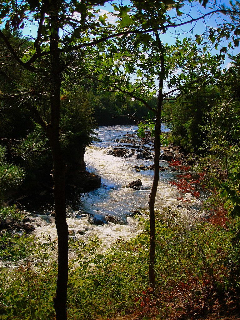
Sand Portage Falls is a scenic waterfall located along the Tahquamenon River in Michigan's Upper Peninsula. It is part of the Tahquamenon Falls State Park, known for its stunning natural beauty and cascading waterfalls. Sand Portage Falls is smaller and less prominent than the nearby Upper and Lower Tahquamenon Falls but offers a serene and picturesque setting.
The Setting
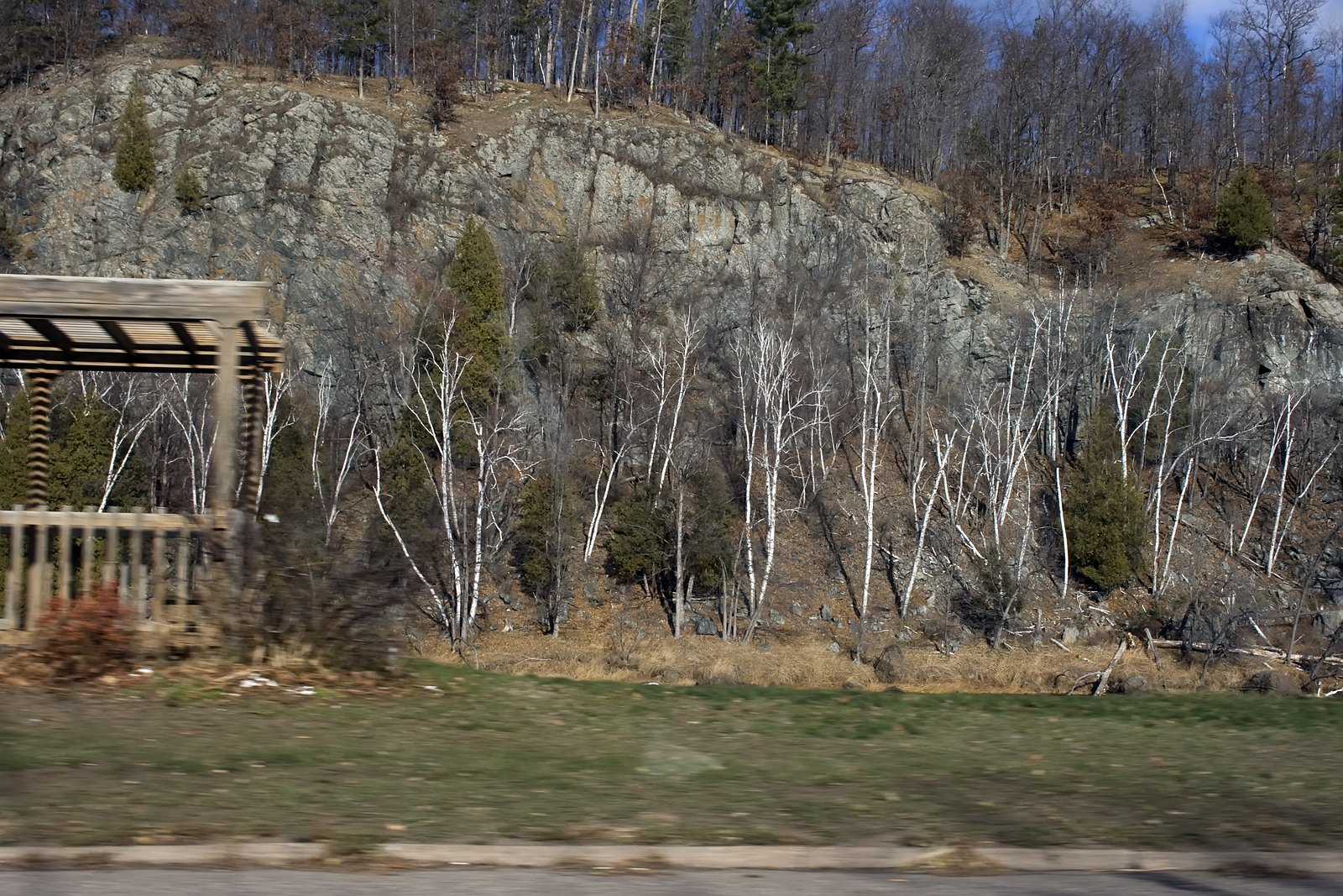
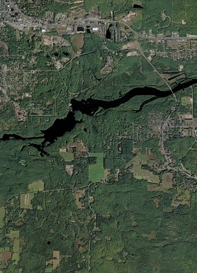
Sand Portage Falls sits at 869 feet along the Menominee River, in the foothills of Michigan.
Trail & Hike Details
The Approach
The moderate 2.4-mile out-and-back trail gains 350 feet of elevation on the way to the falls.
Trail Description
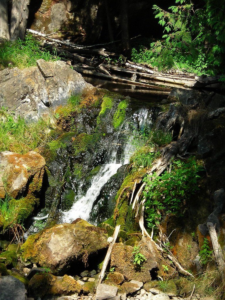
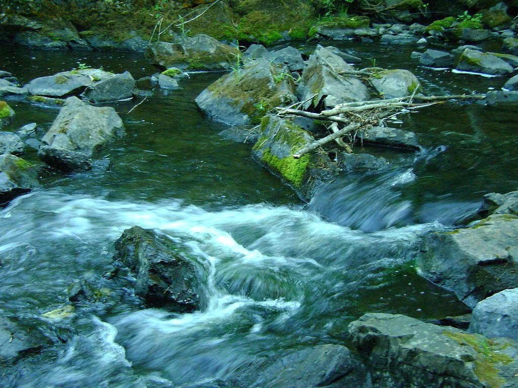
The trail to Sand Portage Falls is not well-documented, and it may require exploring less-traveled paths along the Tahquamenon River. Visitors should be prepared for potentially uneven terrain and bring appropriate footwear.
What to Expect
Visitors can expect a peaceful and less-crowded experience at Sand Portage Falls compared to the more popular Upper and Lower Tahquamenon Falls. The area is surrounded by lush forest and offers opportunities for photography and nature observation.
Accessibility
The trail is not wheelchair accessible. Uneven terrain and elevation changes require steady footing.
Frequently Asked Questions
🐶 Are Dogs Allowed at Sand Portage Falls?
❌ Dogs are not allowed
Are There Any Fees or Permits Required?
🤑 Fee: $0.00
🏊 Is There Swimming at Sand Portage Falls?
❌ Swimming is not allowed
When to Visit
Spring and early summer are ideal times to visit, as water flow is typically higher due to snowmelt and rainfall. Fall offers beautiful foliage, while winter provides a unique view of the frozen landscape.
Seasonal Access
The best time to visit is Spring, Summer, and Fall. Winter access may be limited.
Safety Information
Exercise caution near the water, as rocks can be slippery and currents may be strong. Be prepared for uneven terrain and bring appropriate gear for hiking.
Current Water Conditions
3,200 ft³/s
Current discharge — how much water is flowing
Higher than usual for this time of year
Based on 38 years of record
7.10 ft
Water depth at gauge
7-Day Discharge Trend
What does this mean for your visit?
The water is flowing higher than usual for this time of year.
About This Gauge
This gauge is on a nearby waterway and may not reflect exact conditions at the falls.
7-Day Flow Outlook
Based on the USGS gauge MENOMINEE RIVER NEAR VULCAN, MI (8 km away).
Today
Roaring
3200 cfs
9/10Tomorrow
Roaring
3129 cfs
9/10Sun
Roaring
3349 cfs
6/10Mon
Roaring
3826 cfs
6/10Tue
Roaring
3700 cfs
6/10Wed
Roaring
3614 cfs
6/10Thu
Roaring
3459 cfs
6/10Best window: Today — roaring flow, partly sunny (trip score 9/10).
Best time of year: this gauge typically runs highest from late March to mid June, peaking in April.
How we calculate this
This is a transparent outlook, not a precise forecast. We take the waterfall's current flow strength (how it ranks against its historical normal for today, from the nearest USGS stream gauge), carry that ranking forward along the gauge's seasonal curve, and nudge it for forecast rain. Confidence is highest for the next day or two and falls further out. Always check official conditions and your own judgment before visiting — high flows can be dangerous.
Know when to go.
Get a free email alert when waterfalls near Niagara hit peak flow. We only send when conditions are worth the trip — no weekly newsletters, no spam.
Weather Forecast
Location & Access
Getting There
Sand Portage Falls is located within Tahquamenon Falls State Park. Visitors can access the park via M-123, which runs through the Upper Peninsula. The falls are situated along the Tahquamenon River, downstream from the Lower Tahquamenon Falls.
Get Directions on Google MapsParking
Parking is available at designated areas within Tahquamenon Falls State Park. Visitors should follow park signage to locate the nearest parking area.
Elevation
869 feet above sea level
Coordinates
45.759958° N, -87.964569° W
Visitor Tips & Gear
Bring a map or GPS device, as trails to Sand Portage Falls may not be clearly marked. Wear sturdy footwear and be cautious of slippery rocks near the water.
As an Amazon Associate, we earn from qualifying purchases.
With 2.4 miles and 350 ft of elevation gain, sturdy boots and trekking poles will help on this moderate trail. Sun exposure on the trail makes good sun protection a must in summer.

Columbia Watertight II Rain Jacket
Packs into its own pocket, seam-sealed, and keeps you dry from spray and surprise rain.

Earth Pak Waterproof Dry Bag
Keeps your phone and gear dry when waterfall mist soaks everything else.

Waterproof Phone Pouch (AiRunTech)
Cheap insurance — take photos right next to the falls without killing your phone.

Timberland Euro Sprint Mid Waterproof
Trusted waterproof boot with premium leather and grippy rubber sole — reliable on rocky, wet trails.

TrailBuddy Trekking Poles
Lightweight aluminum, cork grips, and flip-locks that actually hold — a best-seller for good reason.

Polarized Sunglasses (Knockaround)
Cuts glare off the water so you actually see the falls — and your photos turn out better too.
Where to Stay

Mountain Host Motor Inn

Pine Mountain Resort

Comfort Inn Iron Mountain North

Baymont by Wyndham Iron Mountain
Browse vacation cabins and private rentals nearby
Unique outdoor stays — tents, yurts, and treehouses
Rent a campervan or RV for your waterfall road trip
Some links are affiliate links. We may earn a commission at no extra cost to you.
Additional Information
Nearby Attractions
Nearby attractions include the Upper and Lower Tahquamenon Falls, as well as hiking trails and picnic areas within Tahquamenon Falls State Park.
Wildlife
The area is home to a variety of wildlife, including deer, black bears, and numerous bird species. Visitors may also spot fish in the Tahquamenon River.
Cities near Sand Portage Falls
Nearby Waterfalls
Writing about Sand Portage Falls? Embed this waterfall on your site for free.