

Photo Credits (5)
Difficulty
Moderate
Trail Length
2.4 miles
Trail Type
Out And Back
Elevation Gain
350 ft
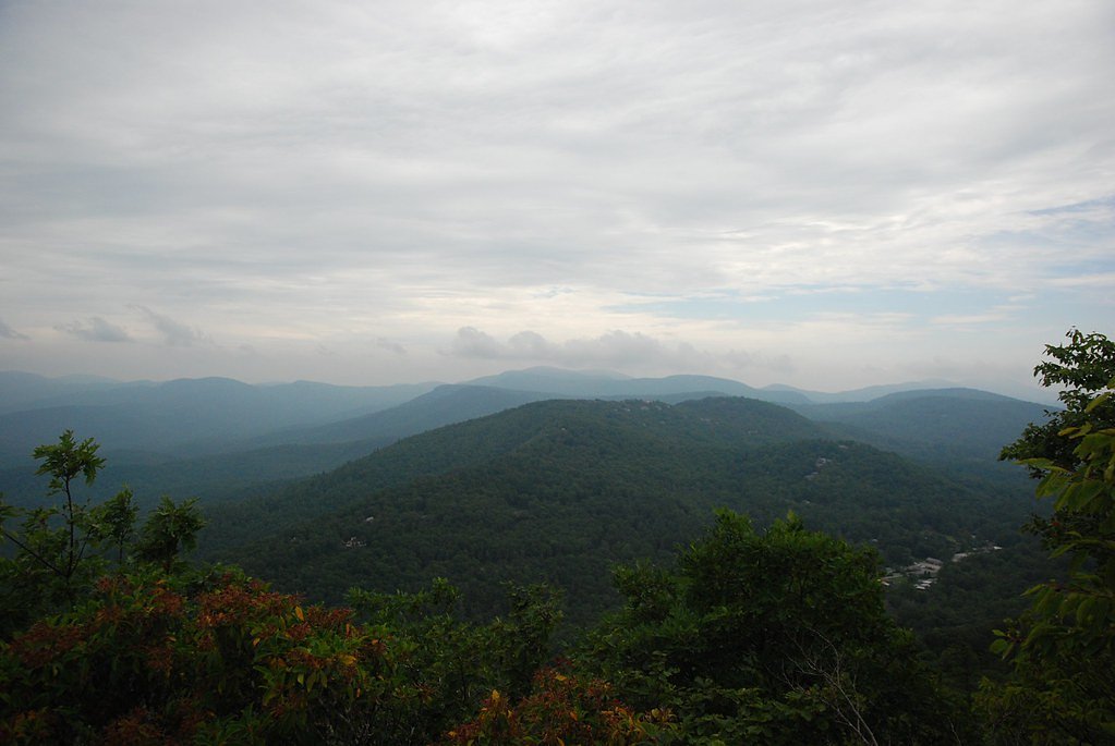
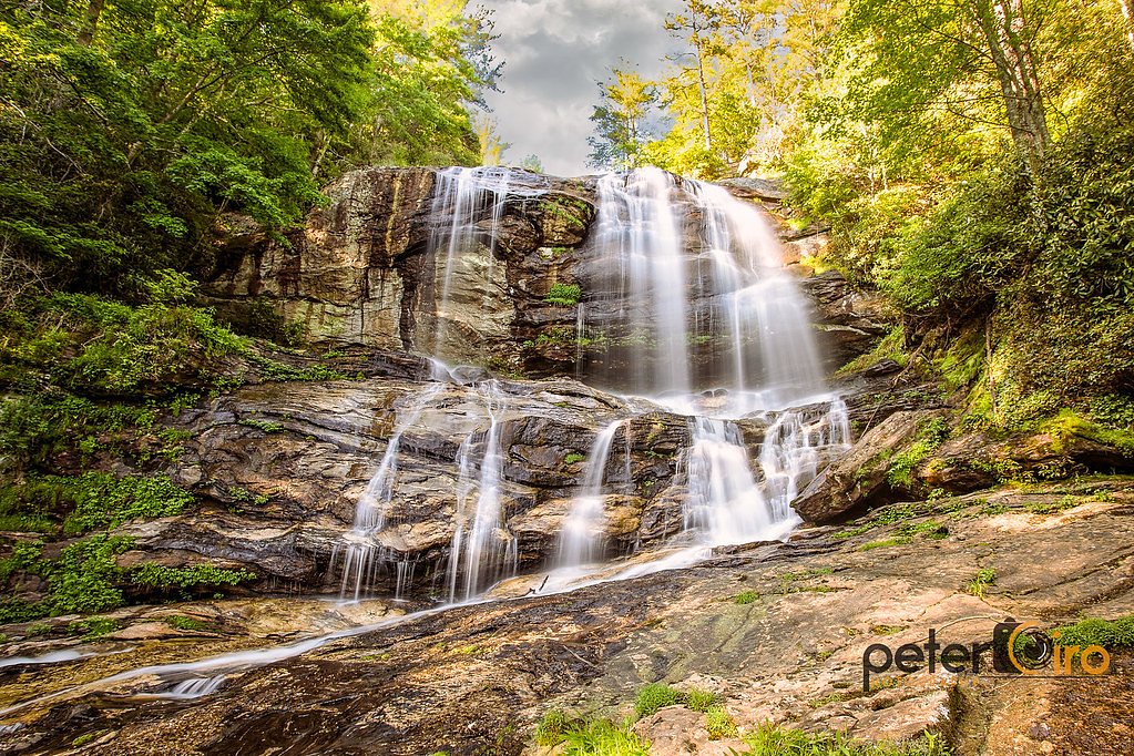
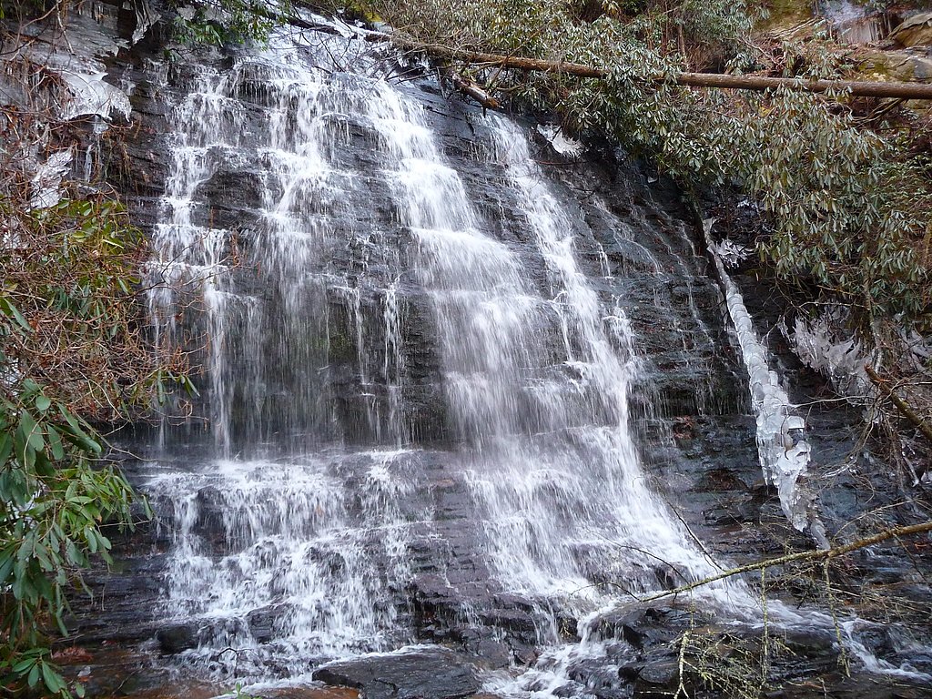
About Satulah Falls
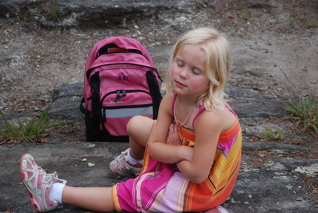
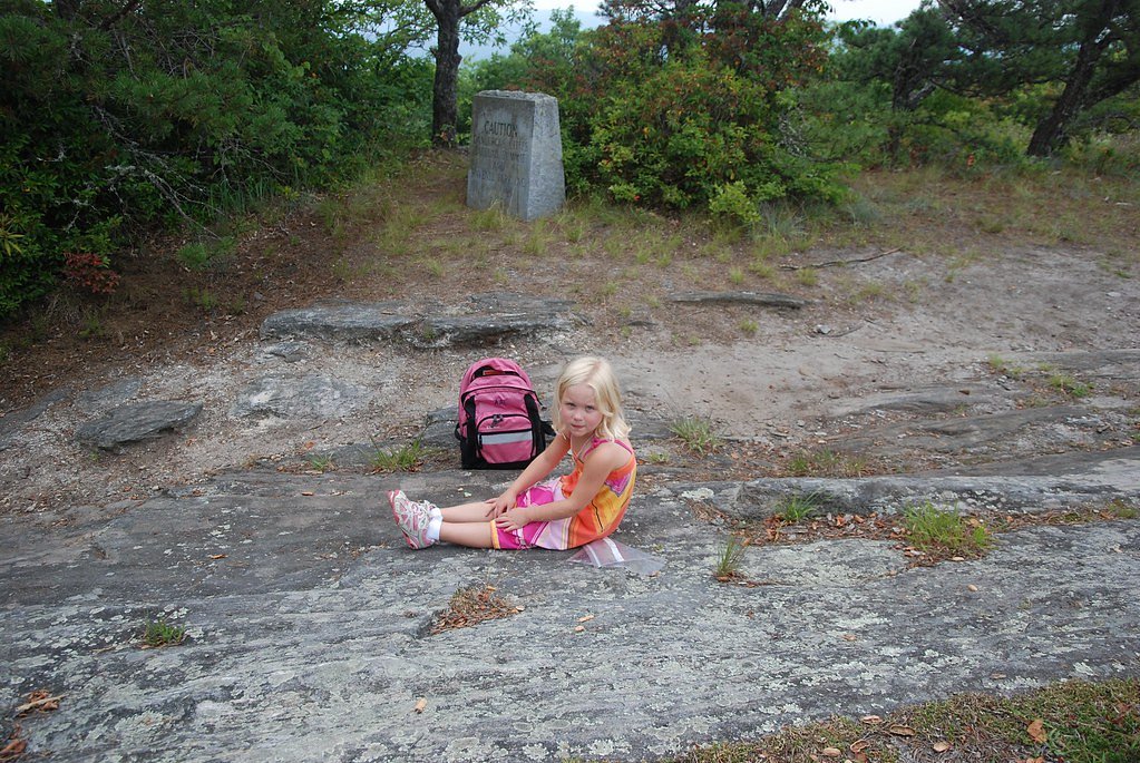
Satulah Falls is a small, picturesque cascade just outside Highlands, North Carolina, nestled within the Satulah Mountain Preserve. Though not as towering as some western North Carolina falls, its gentle tiers and quiet setting make it an appealing stop for photographers and anyone seeking a tranquil slice of mountain scenery. The approach to the falls is a moderate 2.4-mile out-and-back hike with about 350 feet of elevation gain, so it’s a great half-day outing for casual hikers. The trail can be uneven in places, so plan on sturdy footwear. For visitors wanting to stay overnight, West Fork Campground (Clayton, GA) is nearby — roughly 9.2 km from the falls — offering a convenient base for exploring the area.
The Setting
Satulah Falls sits at 3,540 feet along the Little Tennessee River, in the mountains of North Carolina.
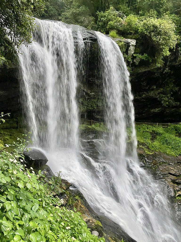
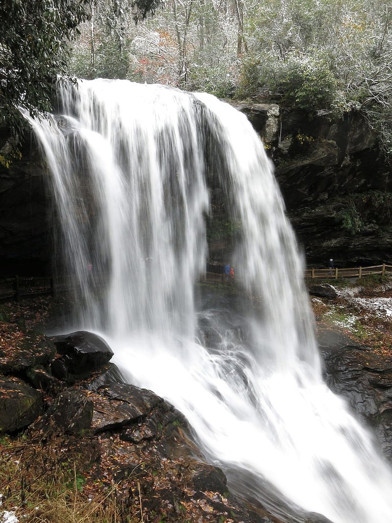
Nearby Falls Worth Visiting
Dry Falls (75 ft) lies 3.5 miles to the northwest. Also nearby: Spoonauger Falls (50 ft, 6.4 mi) and Bridal Veil Falls (45 ft, 3.3 mi).
Trail & Hike Details
The Approach
The moderate 2.4-mile out-and-back trail gains 350 feet of elevation on the way to the falls.
Trail Description
Trail length: 2.4 miles (out-and-back); elevation gain: ~350 feet; difficulty: moderate. The official trail surface, grade and classification are not provided in the available data. Hikers should expect a natural footpath with potentially uneven sections (roots, rocks, and modest grades) and wear appropriate footwear. No USFS trail number or formal surface/grade information is available for this route.
What to Expect
Visitors can expect a quiet and less crowded experience at Satulah Falls. The waterfall is relatively small but offers a tranquil setting surrounded by lush vegetation.
Accessibility
The trail is not wheelchair accessible. Uneven terrain and elevation changes require steady footing.
Frequently Asked Questions
🐶 Are Dogs Allowed at Satulah Falls?
❌ Dogs are not allowed
Are There Any Fees or Permits Required?
🆖 No fees required
🏊 Is There Swimming at Satulah Falls?
❌ Swimming is not allowed
When to Visit
Spring and summer are ideal for visiting Satulah Falls due to the lush greenery and higher water flow. Fall offers beautiful foliage, while winter may provide a quieter experience.
Seasonal Access
The best time to visit is Spring, Summer, and Fall. Winter access may be limited.
Safety Information
Visitors should exercise caution on potentially slippery rocks and uneven terrain. Cell service may be limited in the area, so plan accordingly.
Current Water Conditions
157 ft³/s
Current discharge — how much water is flowing
About average for this time of year
Based on 82 years of record
1.62 ft
Water depth at gauge
7-Day Discharge Trend
What does this mean for your visit?
Flow is about average for this time of year.
About This Gauge
This gauge is on a nearby waterway and may not reflect exact conditions at the falls.
7-Day Flow Outlook
Based on the USGS gauge LITTLE TENNESSEE RIVER NEAR PRENTISS, NC (21 km away).
Today
Moderate
179 cfs
6/10Tomorrow
Strong
180 cfs
7/10Tue
Strong
181 cfs
7/10Wed
Moderate
158 cfs
9/10Thu
Moderate
153 cfs
9/10Fri
Moderate
177 cfs
6/10Sat
Strong
187 cfs
7/10Best window: Wed — moderate flow, mostly sunny (trip score 9/10).
Best time of year: this gauge typically runs highest from mid February to late April, peaking in April.
How we calculate this
This is a transparent outlook, not a precise forecast. We take the waterfall's current flow strength (how it ranks against its historical normal for today, from the nearest USGS stream gauge), carry that ranking forward along the gauge's seasonal curve, and nudge it for forecast rain. Confidence is highest for the next day or two and falls further out. Always check official conditions and your own judgment before visiting — high flows can be dangerous.
Know when to go.
Get a free email alert when waterfalls near Highlands hit peak flow. We only send when conditions are worth the trip — no weekly newsletters, no spam.
Weather Forecast
Location & Access
Getting There
Satulah Falls is located near the town of Highlands, North Carolina. Access to the falls may require navigating local roads and trails within the Satulah Mountain Preserve. Specific directions to the falls are not well-documented, so visitors should consult local maps or guides.
Get Directions on Google MapsParking
Parking availability is limited and may require parking along nearby roads or designated areas within the preserve.
Elevation
3,540 feet above sea level
Coordinates
35.031076° N, -83.198593° W
Visitor Tips & Gear
Bring a map or GPS device as the trail and access points may not be clearly marked. Check local weather conditions before visiting, as trails can become slippery after rain.
As an Amazon Associate, we earn from qualifying purchases.
With 2.4 miles and 350 ft of elevation gain, sturdy boots and trekking poles will help on this moderate trail. Sun exposure on the trail makes good sun protection a must in summer.

Polarized Sunglasses (Knockaround)
Cuts glare off the water so you actually see the falls — and your photos turn out better too.

Columbia Watertight II Rain Jacket
Packs into its own pocket, seam-sealed, and keeps you dry from spray and surprise rain.

Earth Pak Waterproof Dry Bag
Keeps your phone and gear dry when waterfall mist soaks everything else.

Waterproof Phone Pouch (AiRunTech)
Cheap insurance — take photos right next to the falls without killing your phone.

Timberland Euro Sprint Mid Waterproof
Trusted waterproof boot with premium leather and grippy rubber sole — reliable on rocky, wet trails.

TrailBuddy Trekking Poles
Lightweight aluminum, cork grips, and flip-locks that actually hold — a best-seller for good reason.
Where to Stay

Spectacular Mountain Views With Your Own Private Hot Tub!

Red Top Tree House

Private Mtn Love Shack w/ fast wifi, BBQ & view

Mountain Aire Cottages, Inn & Glamping
Browse vacation cabins and private rentals nearby
Unique outdoor stays — tents, yurts, and treehouses
Rent a campervan or RV for your waterfall road trip
Some links are affiliate links. We may earn a commission at no extra cost to you.
Nearby Campground
West Fork Campground (Clayton, GA)
5.7 miles away · 5 sites
Overview All Campsites at West Fork Campground are reservation only, you must reserve through recreation.gov or by calling 877-444-6777Visitors to this 5-site campground marvel over the picturesque bird's eye view of the world renowned Chattooga Wild and Scenic River. Situated along the west fork of the river, this area offers isolation and adventure all in one. Visitors often comment they feel as though they've been swept back in time and are looking out onto the great frontier of the past when
Book on Recreation.govAdditional Information
Nearby Attractions
The town of Highlands offers various attractions, including other waterfalls like Dry Falls and Bridal Veil Falls, as well as hiking trails and scenic overlooks.
Wildlife
The area around Satulah Falls is home to a variety of wildlife, including birds, small mammals, and native plants.
Cities near Satulah Falls
Nearby Waterfalls
Writing about Satulah Falls? Embed this waterfall on your site for free.