Photo Credits (5)
Difficulty
Easy
Trail Length
0.6 miles
Trail Type
Out And Back
Elevation Gain
50 ft
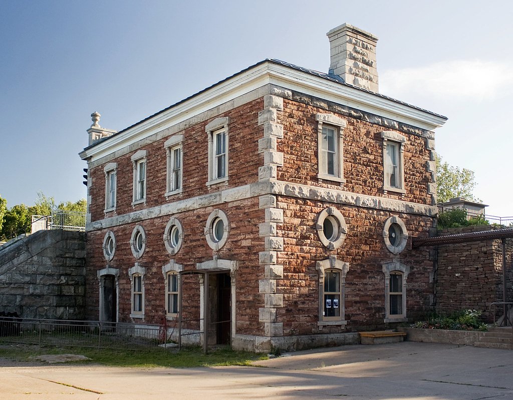
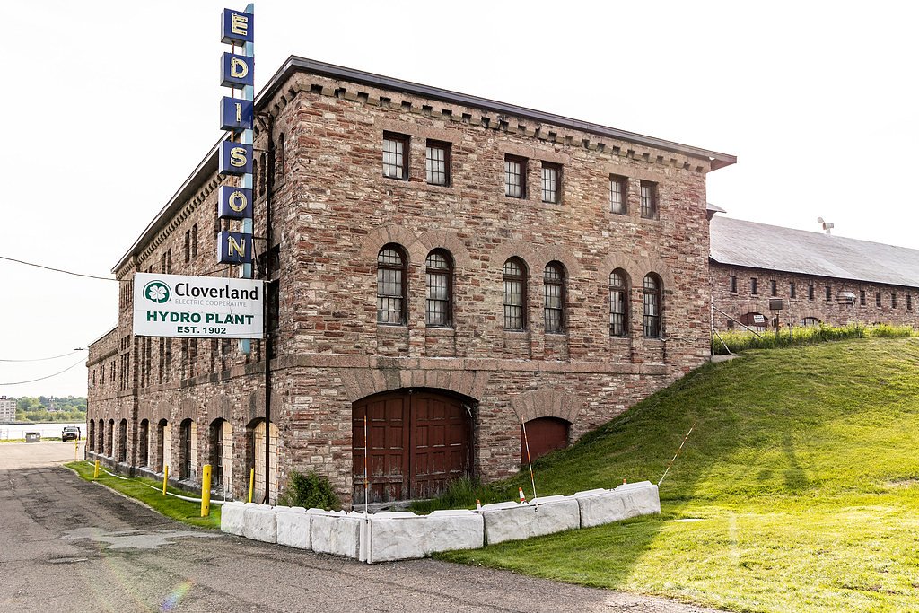
About Power House Falls
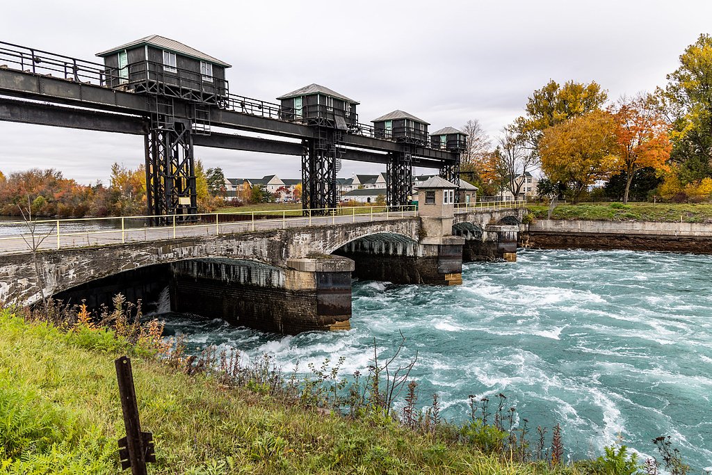
Power House Falls tumbles along the Dead River in Marquette County, Michigan, and is part of the Upper Peninsula’s rich collection of waterfalls. The cascade is appreciated for its picturesque setting and steady, moderate flow — particularly appealing in spring and after heavy rains — making it a rewarding stop for photographers and casual hikers alike. The falls are reachable via a short, family-friendly walk from the trailhead, so they work well as a quick outing or a half-day stop while exploring the area. The nearest designated campground is at Sturgeon River Gorge Wilderness, approximately 23.48 km away, so plan overnight arrangements accordingly.
The Setting
Power House Falls sits at 840 feet along the Falls River, in the foothills of Michigan.
Trail & Hike Details
The Approach
The easy 0.6-mile out-and-back trail gains 50 feet of elevation on the way to the falls.
Trail Description
The trail to Power House Falls is a 0.6-mile out-and-back with about 50 feet of elevation gain, and it’s rated easy. The route stays relatively flat through a wooded corridor and is accessible for most visitors, though you may encounter some uneven sections with roots and rocks—sturdy footwear is recommended. Because the hike is short, plan extra time if conditions are wet or if you want to linger at the falls for photos and views.
What to Expect
Dogs are welcome.
Accessibility
The trail is short and relatively flat, but the surface may be uneven. Contact the managing agency for accessibility details.
Frequently Asked Questions
🐶 Are Dogs Allowed at Power House Falls?
✅ Dogs are allowed
Are There Any Fees or Permits Required?
🆖 No fees required
🏊 Is There Swimming at Power House Falls?
❌ Swimming is not allowed
When to Visit
Spring and early summer are the best times to visit, as the water flow is typically strongest during these seasons.
Seasonal Access
The best time to visit is Spring, Summer, and Fall. Winter access may be limited.
Safety Information
Exercise caution near the falls, as rocks can be slippery. Avoid visiting during heavy rain or snowmelt, as water levels and currents may be dangerous.
Current Water Conditions
31 ft³/s
Current discharge — how much water is flowing
About average for this time of year
Based on 11 years of record
4.26 ft
Water depth at gauge
61°F
WarmVery comfortable
7-Day Discharge Trend
What does this mean for your visit?
Flow is about average for this time of year. Water temperature is a refreshing 61 degrees F, good for a quick swim. Mineral content is typical.
Water Quality
Conductance
Dissolved minerals in the water
About This Gauge
7-Day Flow Outlook
Based on the USGS gauge FALLS RIVER NEAR L'ANSE, MI (0 km away).
Today
Moderate
35 cfs
4/10Tomorrow
Moderate
45 cfs
6/10Wed
Moderate
51 cfs
6/10Thu
Moderate
38 cfs
6/10Fri
Moderate
32 cfs
6/10Sat
Moderate
30 cfs
6/10Sun
Moderate
31 cfs
6/10Best window: Tomorrow — moderate flow, chance showers and thunderstorms (trip score 6/10).
Best time of year: this gauge typically runs highest from mid March to late May, peaking in April.
How we calculate this
This is a transparent outlook, not a precise forecast. We take the waterfall's current flow strength (how it ranks against its historical normal for today, from the nearest USGS stream gauge), carry that ranking forward along the gauge's seasonal curve, and nudge it for forecast rain. Confidence is highest for the next day or two and falls further out. Always check official conditions and your own judgment before visiting — high flows can be dangerous.
Know when to go.
Get a free email alert when waterfalls near L'Anse hit peak flow. We only send when conditions are worth the trip — no weekly newsletters, no spam.
Weather Forecast
Location & Access
Getting There
Power House Falls is located near Marquette, Michigan, and can be accessed via local roads. It is situated near the Dead River and is relatively easy to find with GPS or local maps.
Get Directions on Google MapsParking
There is limited parking available near the falls. Visitors should park in designated areas to avoid blocking access roads.
Elevation
840 feet above sea level
Coordinates
46.737100° N, -88.444333° W
Visitor Tips & Gear
Visit during spring or after rainfall for the best water flow. Bring insect repellent during summer months, as mosquitoes can be present. Wear sturdy shoes as the trail may have uneven terrain.
As an Amazon Associate, we earn from qualifying purchases.
For this easy 0.6 miles trail, lightweight trail shoes and a water bottle are usually sufficient. Sun exposure on the trail makes good sun protection a must in summer.

Polarized Sunglasses (Knockaround)
Cuts glare off the water so you actually see the falls — and your photos turn out better too.

Columbia Watertight II Rain Jacket
Packs into its own pocket, seam-sealed, and keeps you dry from spray and surprise rain.

Earth Pak Waterproof Dry Bag
Keeps your phone and gear dry when waterfall mist soaks everything else.

Waterproof Phone Pouch (AiRunTech)
Cheap insurance — take photos right next to the falls without killing your phone.

JOBY GorillaPod Starter Kit
Wraps around railings and rocks for long-exposure waterfall shots — no flat surface needed.

Osprey Daylite Daypack
Light, organized, and just the right size for a day hike — fits water, snacks, and layers.
Where to Stay

UP Escape in the Pines

Champion Vacation Rental with Fire Pit!

Whole home, private lake, sauna, WFH office

Tiny Woodland Cottage Retreat with Yard in Pelkie
Browse vacation cabins and private rentals nearby
Unique outdoor stays — tents, yurts, and treehouses
Rent a campervan or RV for your waterfall road trip
Some links are affiliate links. We may earn a commission at no extra cost to you.
Nearby Campground
Sturgeon River Gorge Wilderness
14.6 miles away · 0 sites
The Wild and Scenic Sturgeon River rushes out of the northern portion of this wilderness, over the 20 foot volcanic outcroppings of Sturgeon Falls, and through a gorge that reaches 350 feet in depth and a mile in width. Throughout this rugged, steep Wilderness, the Sturgeon and Little Silver Rivers and their tributaries have carved falls, rapids, ponds, oxbows, and terraces. Stunning views are possible from the eastern rim of the gorge. Except for a few naturally bare slopes, most of the land is
Book on Recreation.govAdditional Information
Nearby Attractions
Other nearby waterfalls include Dead River Falls and Morgan Falls. The city of Marquette also offers dining, shopping, and Lake Superior views.
Wildlife
The area is home to a variety of wildlife, including birds, deer, and small mammals. Visitors may also encounter insects such as mosquitoes and ticks.
Cities near Power House Falls
Nearby Waterfalls
Writing about Power House Falls? Embed this waterfall on your site for free.