
Photo Credits (5)
Difficulty
Moderate
Trail Length
2.4 miles
Trail Type
Out And Back
Elevation Gain
350 ft
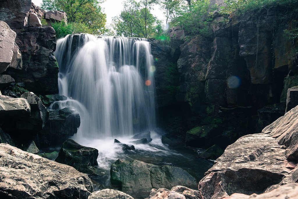
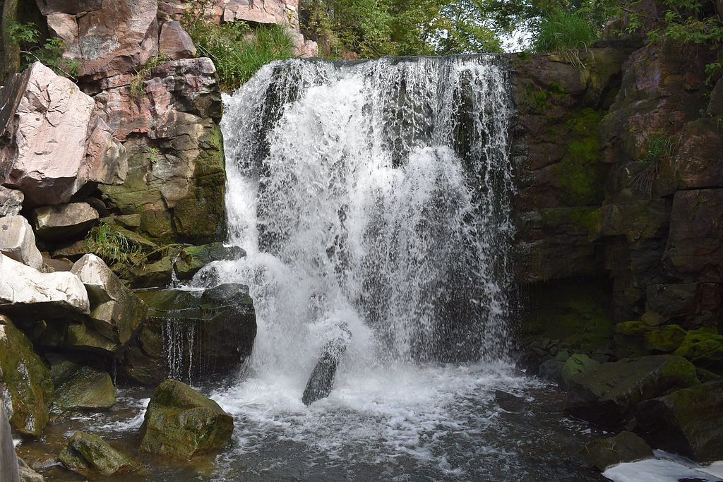
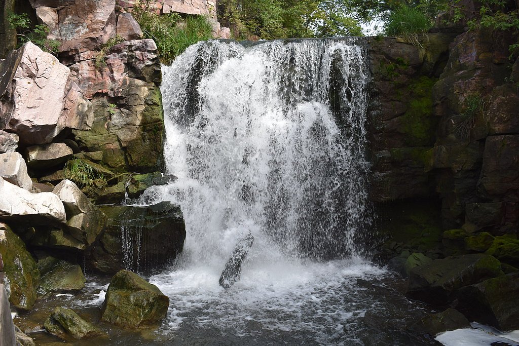
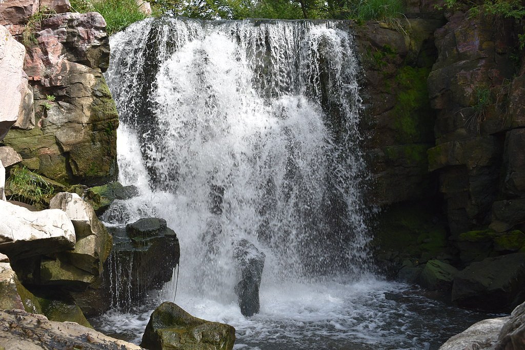
About Pipestone Falls
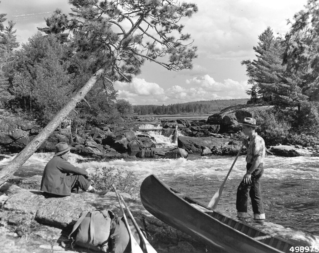
Pipestone Falls is a quiet, scenic cascade tucked into the Boundary Waters Canoe Area Wilderness (WA), on land owned by DESG and managed by the U.S. Forest Service. The falls tumble over rocky ledges into a peaceful pool framed by prairie and exposed stone, making it a rewarding destination for hikers seeking solitude and photo-worthy views away from busier parks. Though lesser-known, the setting’s natural textures and the steady pulse of falling water make Pipestone Falls feel like a true wilderness discovery. Access is via a moderate hike through open prairie and rock formations; for multi-day visitors, Fall Lake Campground is about 5.6 km (3.5 miles) away and provides the nearest established camping. The USFS manages the unit, so visitors should plan accordingly for wilderness conditions and leave no trace to help preserve the area’s quiet character.
The Setting
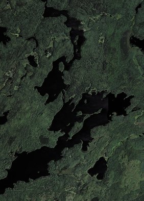
Pipestone Falls sits at 1,322 feet within Boundary Waters Canoe Area Wilderness, in the foothills of Minnesota.
Trail & Hike Details
The Approach
The moderate 2.4-mile out-and-back trail gains 350 feet of elevation on the way to the falls.
Trail Description
The USFS-designated route to Pipestone Falls is an out-and-back trail totaling 2.4 miles with approximately 350 feet of elevation gain and is rated moderate. The path winds through prairie landscapes and over rocky ground; surface details, grade class, and formal USFS trail number are not specified in the available data. Expect natural tread with occasional rock steps and moderate uphill sections — suitable for hikers prepared for uneven terrain and a short climb. Nearest camping is Fall Lake Campground, roughly 5.6 km away.
What to Expect
Dogs are welcome.
Accessibility
The trail is not wheelchair accessible. Uneven terrain and elevation changes require steady footing.
Frequently Asked Questions
🐶 Are Dogs Allowed at Pipestone Falls?
✅ Dogs are allowed
Are There Any Fees or Permits Required?
🤑 Fee: $10.00
🏊 Is There Swimming at Pipestone Falls?
❌ Swimming is not allowed
When to Visit
Spring and early summer are ideal for visiting, as the water flow is typically stronger due to snowmelt and rainfall.
Seasonal Access
The best time to visit is Spring, Summer, and Fall. Winter access may be limited.
Safety Information
Stay on designated trails to avoid slippery rocks and unstable terrain near the falls. Be cautious of ticks and other insects during warmer months.
Know when to go.
Get a free email alert when waterfalls near Winton hit peak flow. We only send when conditions are worth the trip — no weekly newsletters, no spam.
Weather Forecast
Location & Access
Getting There
Pipestone Falls is located near the town of Pipestone, Minnesota. It can be accessed via local roads, and visitors should follow signs to Pipestone National Monument or nearby trails.
Get Directions on Google MapsParking
Parking is available near Pipestone National Monument, which provides access to the falls and surrounding trails.
Elevation
1,322 feet above sea level
Coordinates
48.001838° N, -91.731520° W
Land Management
Managed by USFS
Visitor Tips & Gear
Wear comfortable walking shoes and bring water, especially during warmer months. Consider visiting early in the morning or late afternoon to avoid crowds and enjoy the best lighting for photography.
As an Amazon Associate, we earn from qualifying purchases.
With 2.4 miles and 350 ft of elevation gain, sturdy boots and trekking poles will help on this moderate trail. Sun exposure on the trail makes good sun protection a must in summer.

Polarized Sunglasses (Knockaround)
Cuts glare off the water so you actually see the falls — and your photos turn out better too.

Columbia Watertight II Rain Jacket
Packs into its own pocket, seam-sealed, and keeps you dry from spray and surprise rain.

Earth Pak Waterproof Dry Bag
Keeps your phone and gear dry when waterfall mist soaks everything else.

Waterproof Phone Pouch (AiRunTech)
Cheap insurance — take photos right next to the falls without killing your phone.

Timberland Euro Sprint Mid Waterproof
Trusted waterproof boot with premium leather and grippy rubber sole — reliable on rocky, wet trails.

TrailBuddy Trekking Poles
Lightweight aluminum, cork grips, and flip-locks that actually hold — a best-seller for good reason.
Where to Stay


Browse vacation cabins and private rentals nearby
Unique outdoor stays — tents, yurts, and treehouses
Rent a campervan or RV for your waterfall road trip
Some links are affiliate links. We may earn a commission at no extra cost to you.
Nearby Campground
FALL LAKE
3.5 miles away · 66 sites
Overview Fall Lake Campground is located on the shores of Fall Lake and provides direct access into the Boundary Waters Canoe Area Wilderness (BWCAW). The campground opens in early May in time for walleye fishing season, making it a popular place for anglers. Others are drawn to Fall Lake for its birding, swimming, hiking and boating opportunities. Superior National Forest, located in northeastern Minnesota's arrowhead region, is comprised of 3 million acres. The forest spans 150 miles along the
Book on Recreation.govAdditional Information
Nearby Attractions
Pipestone National Monument, which features historical and cultural exhibits, as well as additional trails and rock formations.
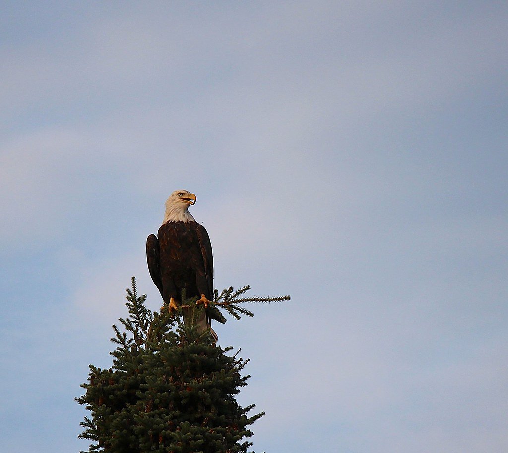
Wildlife
Visitors may encounter birds, small mammals, and prairie wildlife typical of the region.
Cities near Pipestone Falls
Nearby Waterfalls
Other waterfalls named Pipestone Falls
1 other waterfall shares this name across the U.S.
Writing about Pipestone Falls? Embed this waterfall on your site for free.