Wheelbarrow Falls
By Armen Suny · Last verified May 2026
Difficulty
Moderate
Trail Length
2.4 miles
Trail Type
Out And Back
Elevation Gain
350 ft
About Wheelbarrow Falls
Wheelbarrow Falls is a quiet, lesser-known cascade on the Baptism River tucked into the Boundary Waters Canoe Area Wilderness in northeastern Minnesota. Set amid mature northern forest, the falls offer a peaceful place to listen to tumbling water and enjoy a relatively uncrowded slice of wilderness managed by the U.S. Forest Service; the parcel is listed as DESG with a designation of WA (wilderness area). The site rewards hikers looking for a short escape into nature rather than a major tourist stop. Expect a natural, wooded setting where the river threads through rocky ledges; the area’s wilderness designation means a more backcountry feel and fewer developed amenities, so come prepared for uneven footing and carry what you need for a self-sufficient outing.
The Setting
Wheelbarrow Falls sits at 1,260 feet within Boundary Waters Canoe Area Wilderness, fed by the Basswood River, in the foothills of Minnesota.
Trail & Hike Details
The Approach
The moderate 2.4-mile out-and-back trail gains 350 feet of elevation on the way to the falls.
Trail Description
The approach to Wheelbarrow Falls is an out-and-back trek of about 2.4 miles round-trip with roughly 350 feet of elevation gain; the route is commonly rated moderate. The trail winds through forest along sections of the Baptism River with rocky and uneven tread in places, so sturdy footwear is recommended. This is a USFS-managed route within the Boundary Waters Canoe Area Wilderness; no specific USFS trail name or number was provided with the available data.
What to Expect
Dogs are welcome.
Accessibility
The trail is not wheelchair accessible. Uneven terrain and elevation changes require steady footing.
Frequently Asked Questions
🐶 Are Dogs Allowed at Wheelbarrow Falls?
✅ Dogs are allowed
Are There Any Fees or Permits Required?
🤑 Fee: $7.00
🏊 Is There Swimming at Wheelbarrow Falls?
❌ Swimming is not allowed
When to Visit
Spring and early summer are ideal times to visit, as the waterfall flow is typically strongest due to snowmelt and rainfall.
Seasonal Access
The best time to visit is Spring, Summer, and Fall. Winter access may be limited.
Safety Information
Exercise caution on rocky or slippery sections of the trail. Stay on marked paths to avoid getting lost or damaging the environment. Be aware of weather conditions, as trails can become hazardous after rain.
Current Water Conditions
1,030 ft³/s
Current discharge — how much water is flowing
Much lower than usual for this time of year
Based on 95 years of record
3.44 ft
Water depth at gauge
7-Day Discharge Trend
What does this mean for your visit?
Flow is well below normal for this time of year, so the waterfall may be a trickle.
About This Gauge
7-Day Flow Outlook
Based on the USGS gauge BASSWOOD RIVER NEAR WINTON, MN (5 km away).
Today
Barely Flowing
1112 cfs
3/10Tomorrow
Barely Flowing
1077 cfs
5/10Tue
Barely Flowing
1112 cfs
3/10Wed
Low
1154 cfs
4/10Thu
Low
1183 cfs
3/10Fri
Low
1207 cfs
3/10Sat
Low
1141 cfs
4/10Best window: Tomorrow — barely flowing flow, partly sunny (trip score 5/10).
Best time of year: this gauge typically runs highest from late April to late July, peaking in May.
How we calculate this
This is a transparent outlook, not a precise forecast. We take the waterfall's current flow strength (how it ranks against its historical normal for today, from the nearest USGS stream gauge), carry that ranking forward along the gauge's seasonal curve, and nudge it for forecast rain. Confidence is highest for the next day or two and falls further out. Always check official conditions and your own judgment before visiting — high flows can be dangerous.
Know when to go.
Get a free email alert when waterfalls near Winton hit peak flow. We only send when conditions are worth the trip — no weekly newsletters, no spam.
Weather Forecast
Location & Access
Getting There
Wheelbarrow Falls is located within Tettegouche State Park in Minnesota. Access typically involves hiking along trails within the park. Visitors should consult park maps or contact the park office for specific directions.
Get Directions on Google MapsParking
Parking is available at designated lots within Tettegouche State Park. Visitors may need to hike from the parking area to reach the falls.
Elevation
1,260 feet above sea level
Coordinates
48.117394° N, -91.691514° W
Land Management
Managed by USFS
Visitor Tips & Gear
Visit early in the day to avoid crowds, especially during peak seasons. Bring water and wear sturdy shoes, as the trail can be uneven in places. Check weather conditions before heading out, as trails may become slippery after rain.
As an Amazon Associate, we earn from qualifying purchases.
With 2.4 miles and 350 ft of elevation gain, sturdy boots and trekking poles will help on this moderate trail. Sun exposure on the trail makes good sun protection a must in summer.

Columbia Watertight II Rain Jacket
Packs into its own pocket, seam-sealed, and keeps you dry from spray and surprise rain.

Earth Pak Waterproof Dry Bag
Keeps your phone and gear dry when waterfall mist soaks everything else.

Waterproof Phone Pouch (AiRunTech)
Cheap insurance — take photos right next to the falls without killing your phone.

Timberland Euro Sprint Mid Waterproof
Trusted waterproof boot with premium leather and grippy rubber sole — reliable on rocky, wet trails.

TrailBuddy Trekking Poles
Lightweight aluminum, cork grips, and flip-locks that actually hold — a best-seller for good reason.

Polarized Sunglasses (Knockaround)
Cuts glare off the water so you actually see the falls — and your photos turn out better too.
Where to Stay

Paddle Inn

Stay Inn Ely

Adventure Inn

Grand Ely Lodge
Browse vacation cabins and private rentals nearby
Unique outdoor stays — tents, yurts, and treehouses
Rent a campervan or RV for your waterfall road trip
Some links are affiliate links. We may earn a commission at no extra cost to you.
Nearby Campground
FALL LAKE
11.5 miles away · 66 sites
Overview Fall Lake Campground is located on the shores of Fall Lake and provides direct access into the Boundary Waters Canoe Area Wilderness (BWCAW). The campground opens in early May in time for walleye fishing season, making it a popular place for anglers. Others are drawn to Fall Lake for its birding, swimming, hiking and boating opportunities. Superior National Forest, located in northeastern Minnesota's arrowhead region, is comprised of 3 million acres. The forest spans 150 miles along the
Book on Recreation.govAdditional Information
Nearby Attractions
Other waterfalls within Tettegouche State Park, such as High Falls and Two Step Falls. The park also offers hiking trails, scenic overlooks, and camping opportunities.
Wildlife
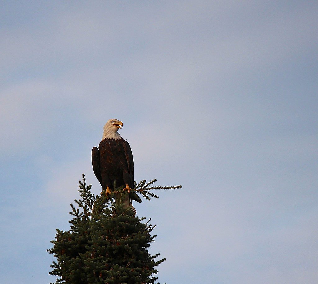
The area is home to a variety of wildlife, including deer, birds, and small mammals. Keep an eye out for bald eagles and other bird species near the river.
Cities near Wheelbarrow Falls
Nearby Waterfalls

Writing about Wheelbarrow Falls? Embed this waterfall on your site for free.