Lower Basswood Falls
Ontario • Quetico Provincial Park
By Armen Suny · Last verified Jun 2026
About Lower Basswood Falls
Lower Basswood Falls is a small cascade on the Basswood River system in the northern Superior region near the coordinates 48.1146, -91.7102. The site is accessed from forest roads and short trails in a remote, heavily-forested area. Information about an established developed trail, official park unit, or exact measured height is limited; details below reflect commonly reported conditions for small river cascades in this region and may be approximate.
The Setting
Lower Basswood Falls sits at 378 metres within Quetico Provincial Park, in the foothills of Ontario.
Why This Waterfall Exists
Lower Basswood Falls flows over hard intrusive rock, primarily granodiorite and granite, laid down over 2.5-3.2 billion years ago. These resistant rocks form a durable ledge that water cannot easily wear away, creating the falls where softer material downstream has already eroded.
Trail & Hike Details
Trail Description
Reported visitor descriptions for small falls in this region indicate a short walk through mixed boreal forest over uneven, sometimes rocky ground and possible wet or muddy sections. There may be roots and loose stone underfoot. The immediate vicinity of the falls is often exposed rock and forested banks rather than a developed viewing platform. Trails, if present, may be unblazed or minimally maintained.
What to Expect
Expect a remote, natural setting with limited infrastructure: no restrooms, no formal railings, and minimal signage. Water flow can vary considerably by season, high flows in spring and after heavy rain, lower flows in late summer or drought. Mosquitoes and black flies are common in spring/early summer. Cell reception may be spotty or nonexistent.
Accessibility
The site is likely not wheelchair accessible. Trails and viewing areas appear to be natural, uneven, and may include rocky or steep sections.
Frequently Asked Questions
🐶 Are Dogs Allowed at Lower Basswood Falls?
❌ Dogs are not allowed
Are There Any Fees or Permits Required?
🆖 No fees required
🏊 Is There Swimming at Lower Basswood Falls?
❌ Swimming is not allowed
When to Visit
Late spring (high runoff) for the most impressive flow; early morning in summer and fall for better light and fewer insects. Avoid immediate hours after heavy rain if concerned about muddy roads or flashy currents.
Seasonal Access
The best time to visit is Spring, Summer, and Fall. Winter access may be limited. Check with Quetico Provincial Park for current conditions.
Safety Information
Potential hazards include slippery and unstable rock near the falls, steep banks, sudden changes in water flow or current, cold water temperatures, poor cell reception, and variable road conditions. Always stay a safe distance from edges, supervise children closely, and do not attempt to climb wet rock faces. If roads are muddy or snow-covered, appropriate vehicles and experience are recommended. If you are unsure of land ownership or access rights, seek local information before entering.
Current Water Conditions
Based on a Water Survey of Canada gauge 45.6 km away
89.8 m³/s
Current discharge — how much water is flowing
Lower than usual for this time of year
Based on 103 years of record
360.89 m
Water depth at gauge
7-Day Discharge Trend
What does this mean for your visit?
Flow is lower than usual for this time of year.
About This Gauge
This gauge is on a regional waterway. Conditions at the falls may differ, especially after local rain.
7-Day Flow Outlook
Based on the WSC gauge NAMAKAN RIVER AT OUTLET OF LAC LA CROIX (46 km away).
Today
Low
90 m³/s
5/10Tomorrow
Low
88 m³/s
5/10Tue
Low
94 m³/s
4/10Wed
Low
89 m³/s
5/10Thu
Low
93 m³/s
4/10Fri
Low
88 m³/s
5/10Sat
Low
82 m³/s
5/10Best window: Today — low flow, cloudy (trip score 5/10).
Best time of year: this gauge typically runs highest from early May to early August, peaking in May.
How we calculate this
This is a transparent outlook, not a precise forecast. We take the waterfall's current flow strength (how it ranks against its historical normal for today, from the nearest WSC stream gauge), carry that ranking forward along the gauge's seasonal curve, and nudge it for forecast rain. Confidence is highest for the next day or two and falls further out. Always check official conditions and your own judgment before visiting — high flows can be dangerous.
Know when to go.
Get a free email alert when waterfalls near Atikokan hit peak flow. We only send when conditions are worth the trip — no weekly newsletters, no spam.
Weather Forecast
Location & Access
Getting There
The falls are located near the provided coordinates (48.1146, -91.7102). Nearest communities noted at the provided distances are Winton (~12.9 miles), Ely (~16.2 miles), and Babbitt (~33.0 miles). Access typically requires driving on gravel/forest roads and a short walk from a roadside parking or pullout. Vehicles with adequate clearance are recommended for some forest roads, conditions may vary seasonally.
Get Directions on Google MapsParking
There may be an informal roadside pullout or small parking area; no large developed parking lot or facilities are known. Park considerately and avoid blocking gate or private driveways. Check local signage for restrictions.
Elevation
378 metres above sea level
Coordinates
48.114601° N, -91.710170° W
Land Management
Managed by Ontario Parks
Visitor Tips & Gear
• Wear sturdy, waterproof footwear with good traction. • Stay off wet rocks near the edge, surfaces can be very slippery. • Check land ownership before crossing private property; some accesses may cross timber or private parcels. • Carry a map and GPS coordinates; don’t rely on cell service. • Respect wildlife and pack out all trash. • If planning to drive forest roads, check seasonal gate/road closures and road conditions.
Where to Stay
Browse vacation cabins and private rentals nearby
Unique outdoor stays — tents, yurts, and treehouses
Rent a campervan or RV for your waterfall road trip
Some links are affiliate links. We may earn a commission at no extra cost to you.
Additional Information
Nearby Attractions
Nearby towns referenced include Winton, Ely, and Babbitt which offer trailheads, outfitters, and regional recreation. The broader region includes Superior National Forest and Boundary Waters / canoe country (recreational opportunities vary by exact location).
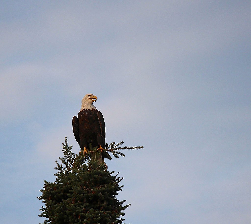
Wildlife
Typical northern forest species may include white-tailed deer, black bear, moose, foxes, small mammals, and numerous bird species. Insects such as mosquitoes, black flies, and ticks are common seasonally.
Cities near Lower Basswood Falls
Nearby Waterfalls

Other waterfalls named Lower Basswood Falls
1 other waterfall shares this name across Canada.
Writing about Lower Basswood Falls? Embed this waterfall on your site for free.