Passamagamet Falls
By Armen Suny · Last verified May 2026
Difficulty
Moderate
Trail Length
2.4 miles
Trail Type
Out And Back
Elevation Gain
350 ft
About Passamagamet Falls
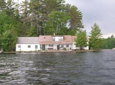
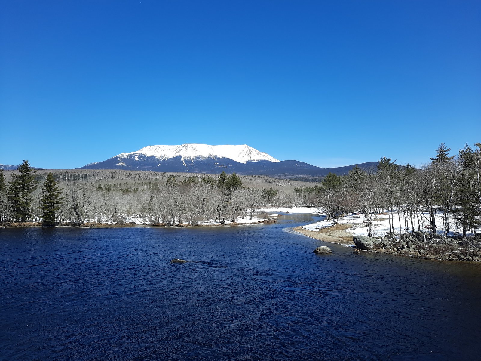
Passamagamet Falls is a scenic waterfall located in Maine, known for its natural beauty and serene surroundings. It is part of the Penobscot River system and offers visitors a chance to enjoy the sights and sounds of cascading water amidst a forested setting.
The Setting
Passamagamet Falls sits at 492 feet along the East Branch Penobscot River, in the coastal lowlands of Maine.
Trail & Hike Details
The Approach
The moderate 2.4-mile out-and-back trail gains 350 feet of elevation on the way to the falls.
Trail Description
There is limited information available about the specific trail leading to Passamagamet Falls. Visitors should be prepared for potentially uneven terrain and unmarked paths. It is recommended to consult local guides or recent visitor reports for the most accurate trail details.
What to Expect
Visitors can expect a peaceful and remote experience at Passamagamet Falls. The falls are surrounded by forested areas, and the sound of rushing water creates a tranquil atmosphere. Wildlife sightings may also be possible in the area.
Accessibility
The trail is not wheelchair accessible. Uneven terrain and elevation changes require steady footing.
Frequently Asked Questions
🐶 Are Dogs Allowed at Passamagamet Falls?
❌ Dogs are not allowed
Are There Any Fees or Permits Required?
🆖 No fees required
🏊 Is There Swimming at Passamagamet Falls?
❌ Swimming is not allowed
When to Visit
Spring and early summer are ideal times to visit, as water flow is typically higher due to snowmelt and rainfall. Fall offers beautiful foliage, while summer provides warmer weather for exploration.
Seasonal Access
The best time to visit is Spring, Summer, and Fall. Winter access may be limited.
Safety Information
Visitors should be cautious of slippery rocks near the falls and strong currents in the water. Be prepared for remote conditions, and let someone know your plans before visiting.
Current Water Conditions
Based on a USGS gauge 16.3 miles away
2,020 ft³/s
Current discharge — how much water is flowing
About average for this time of year
Based on 104 years of record
6.18 ft
Water depth at gauge
7-Day Discharge Trend
What does this mean for your visit?
Flow is about average for this time of year.
About This Gauge
This gauge is on a regional waterway. Conditions at the falls may differ, especially after local rain.
7-Day Flow Outlook
Based on the USGS gauge East Branch Penobscot River at Grindstone, Maine (26 km away).
Today
Barely Flowing
2182 cfs
3/10Tomorrow
Low
2230 cfs
4/10Sun
Low
2280 cfs
3/10Mon
Barely Flowing
2020 cfs
4/10Tue
Barely Flowing
2071 cfs
3/10Wed
Low
2049 cfs
4/10Thu
Low
1967 cfs
4/10Best window: Tomorrow — low flow, chance rain showers (trip score 4/10).
Best time of year: this gauge typically runs highest from late March to late June, peaking in April.
How we calculate this
This is a transparent outlook, not a precise forecast. We take the waterfall's current flow strength (how it ranks against its historical normal for today, from the nearest USGS stream gauge), carry that ranking forward along the gauge's seasonal curve, and nudge it for forecast rain. Confidence is highest for the next day or two and falls further out. Always check official conditions and your own judgment before visiting — high flows can be dangerous.
Know when to go.
Get a free email alert when waterfalls near Brownville Junction hit peak flow. We only send when conditions are worth the trip — no weekly newsletters, no spam.
Weather Forecast
Location & Access
Getting There
Passamagamet Falls is located near the Penobscot River in Maine. Access is typically via logging roads or forest roads, so a high-clearance vehicle may be recommended. Exact directions should be verified with local resources or maps.
Get Directions on Google MapsParking
Parking may be available near the falls, but it is likely limited and unpaved. Visitors should plan accordingly and ensure they are not blocking access roads.
Elevation
492 feet above sea level
Coordinates
45.749214° N, -68.925877° W
Visitor Tips & Gear
Bring a map or GPS device, as cell service may be unreliable in this remote area. Wear sturdy footwear and be prepared for changing weather conditions. Check local road and trail conditions before visiting.
As an Amazon Associate, we earn from qualifying purchases.
With 2.4 miles and 350 ft of elevation gain, sturdy boots and trekking poles will help on this moderate trail. Sun exposure on the trail makes good sun protection a must in summer.

Columbia Watertight II Rain Jacket
Packs into its own pocket, seam-sealed, and keeps you dry from spray and surprise rain.

Earth Pak Waterproof Dry Bag
Keeps your phone and gear dry when waterfall mist soaks everything else.

Waterproof Phone Pouch (AiRunTech)
Cheap insurance — take photos right next to the falls without killing your phone.

Timberland Euro Sprint Mid Waterproof
Trusted waterproof boot with premium leather and grippy rubber sole — reliable on rocky, wet trails.

TrailBuddy Trekking Poles
Lightweight aluminum, cork grips, and flip-locks that actually hold — a best-seller for good reason.

Polarized Sunglasses (Knockaround)
Cuts glare off the water so you actually see the falls — and your photos turn out better too.
Where to Stay

The Whitetail Inn and Suites- Lincoln

Baxter Park Inn

Hotel Terrace

Katahdin Valley Motel
Browse vacation cabins and private rentals nearby
Unique outdoor stays — tents, yurts, and treehouses
Rent a campervan or RV for your waterfall road trip
Some links are affiliate links. We may earn a commission at no extra cost to you.
Additional Information
Nearby Attractions
The Penobscot River and surrounding forested areas offer opportunities for fishing, kayaking, and wildlife observation.
Wildlife
The area around Passamagamet Falls is home to a variety of wildlife, including birds, deer, and possibly moose. Visitors should be cautious and respectful of the natural habitat.
Cities near Passamagamet Falls
Nearby Waterfalls
Writing about Passamagamet Falls? Embed this waterfall on your site for free.