Mitchell Falls
By Armen Suny · Last verified May 2026
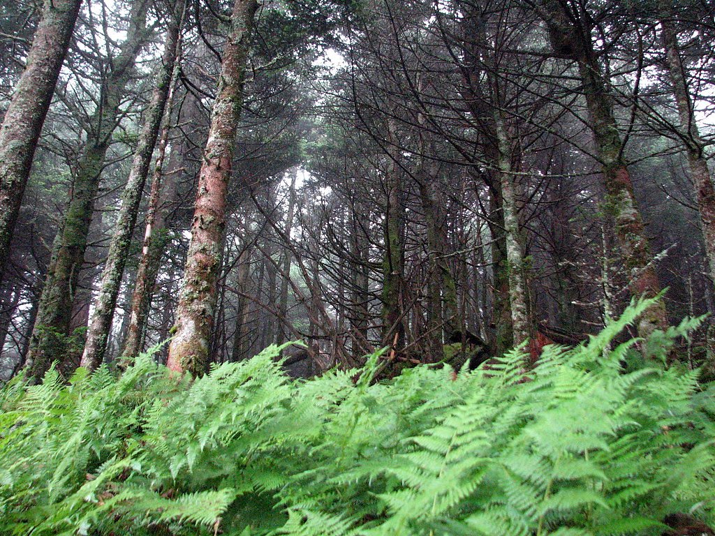
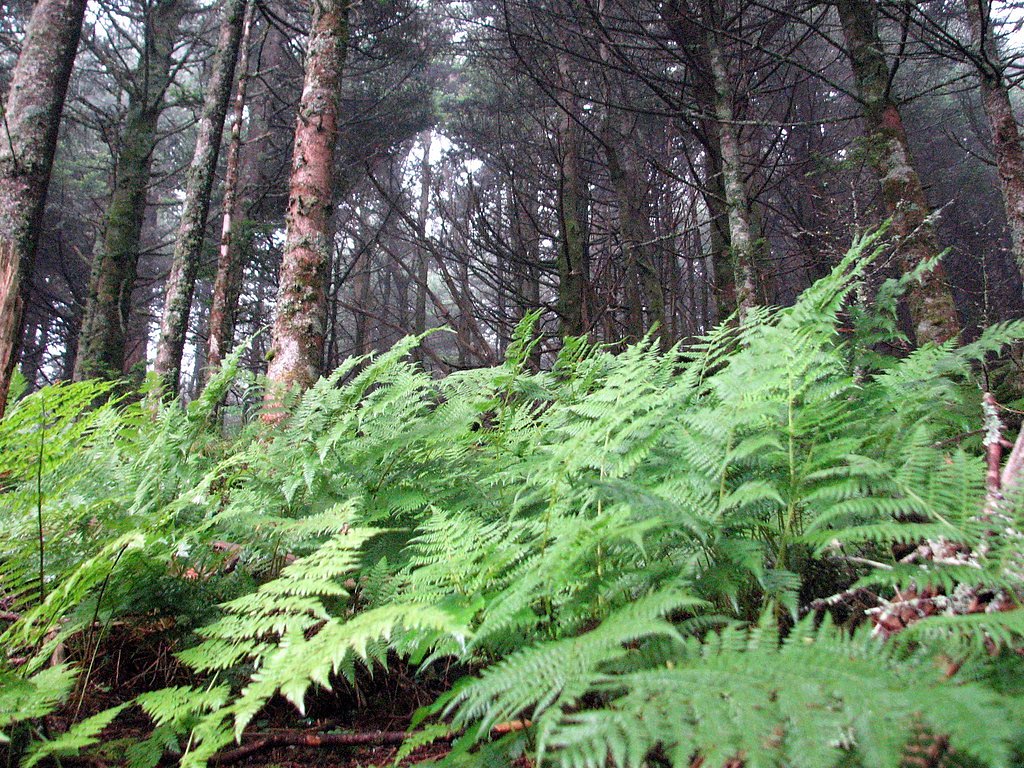
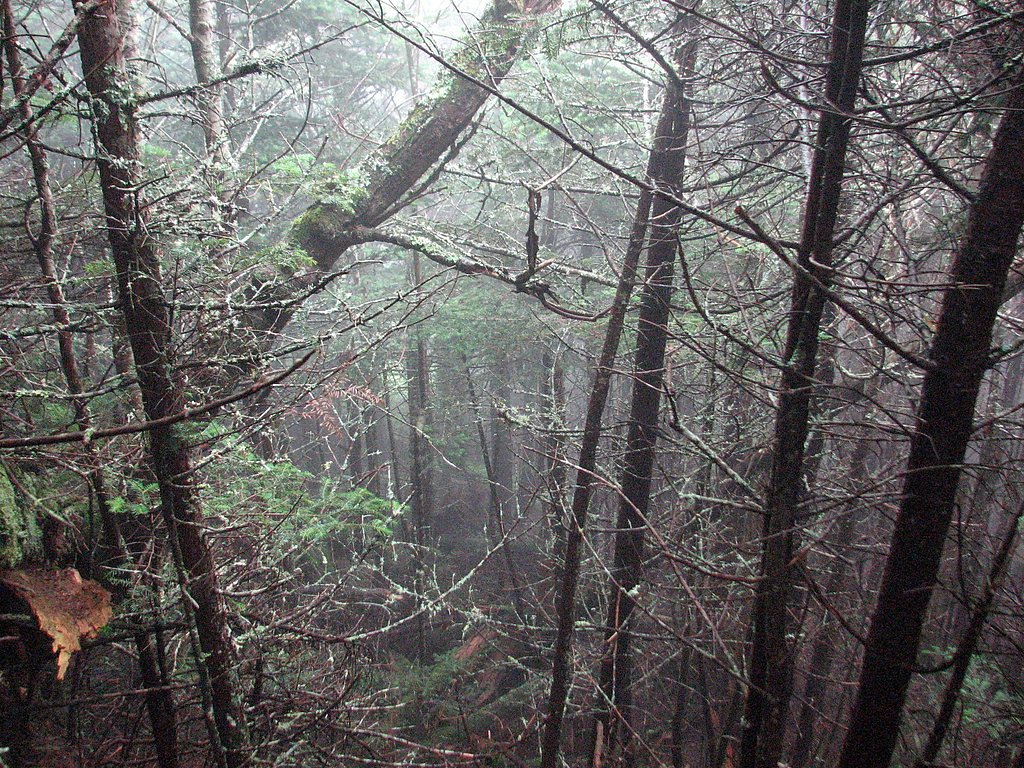
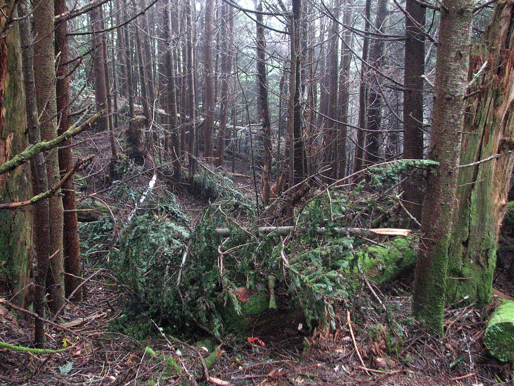
Photo Credits (5)
Difficulty
Moderate
Trail Length
2.0 miles
Trail Type
Out And Back
Elevation Gain
300 ft
About Mitchell Falls
Mitchell Falls is a compact, photogenic 25-foot (7.6 m) cascade on the slopes of Mount Mitchell in Yancey County, North Carolina. The falls sit below the highest peak in the Appalachian Mountain chain and the highest point in the eastern United States, and they tumble through rocky ledges into a quiet, forested amphitheater. The falls, the mountain and the related state park bear the name of Elisha Mitchell, the 19th‑century professor who famously fell over a rocky ledge above the falls in 1857 while verifying the mountain’s height. The approach to Mitchell Falls makes for a satisfying half-day outing: the commonly hiked route is an approximately 2.0-mile out-and-back with about 300 feet of elevation gain and is rated moderate, making it a good choice for hikers with some experience who want a short, scenic trip. Group camping is conveniently nearby at Briar Bottom Group Campground, about 6.1 km from the trailhead, so it’s easy to combine an overnight among the mountains with an early-morning visit to the falls.
The Setting
Mitchell Falls sits at 4,957 feet along the South Toe River, in the mountains of North Carolina.
Trail & Hike Details
The Approach
The moderate 2.0-mile out and back trail gains 300 feet of elevation on the way to the falls.
Trail Description
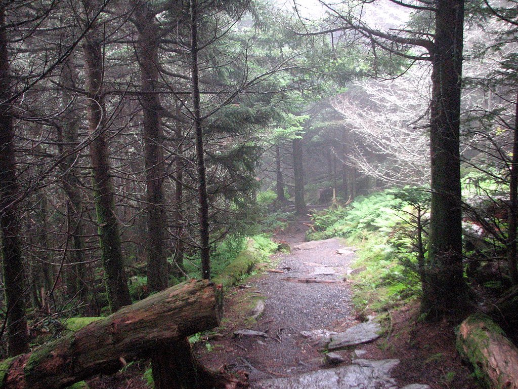
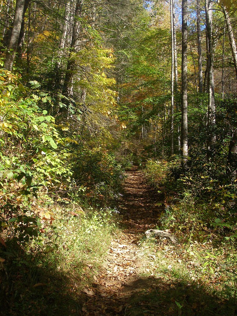
The trail to Mitchell Falls is an out-and-back route roughly 2.0 miles in total with about 300 feet of climbing and a moderate difficulty rating. The tread winds through mixed hardwood forest on the slopes of Mount Mitchell, offering shaded running and views into the ravine as you descend toward the cascade. Expect some rocky and uneven sections on natural dirt tread—manageable for most hikers with moderate experience but requiring steady footing in places.
What to Expect
Dogs are welcome.
Accessibility
The trail is not wheelchair accessible. Uneven terrain and elevation changes require steady footing.
Frequently Asked Questions
🐶 Are Dogs Allowed at Mitchell Falls?
✅ Dogs are allowed
Are There Any Fees or Permits Required?
🆖 No fees required
🏊 Is There Swimming at Mitchell Falls?
❌ Swimming is not allowed
When to Visit
Spring and fall are the best times to visit, as the weather is mild, and the surrounding foliage is particularly beautiful. Summer is also popular, but the trail may be busier.
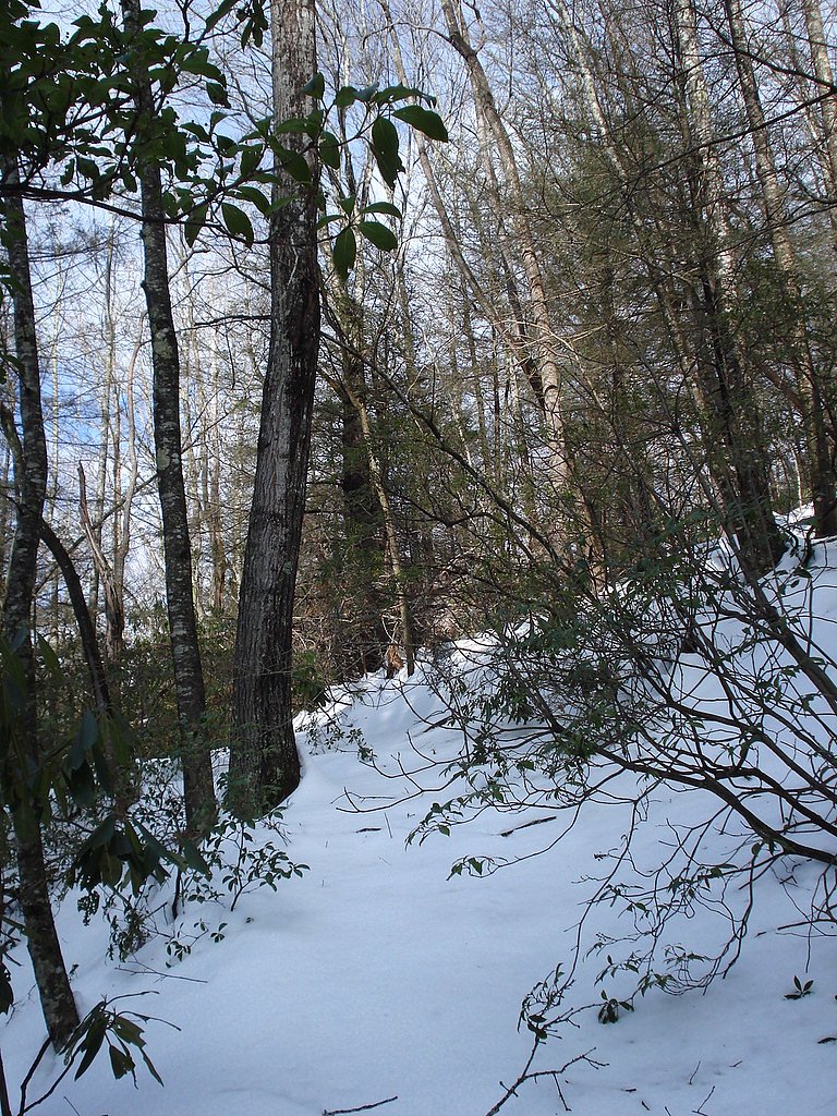
Seasonal Access
The best time to visit is Spring, Summer, and Fall. Winter access may be limited.
Safety Information
Exercise caution on the trail, especially near the waterfall, as rocks can be slippery. Check weather conditions before visiting, as heavy rain can make the trail more challenging.
Current Water Conditions
40 ft³/s
Current discharge — how much water is flowing
Much lower than usual for this time of year
Based on 68 years of record
0.69 ft
Water depth at gauge
7-Day Discharge Trend
What does this mean for your visit?
Flow is well below normal for this time of year, so the waterfall may be a trickle.
About This Gauge
This gauge is on a nearby waterway and may not reflect exact conditions at the falls.
7-Day Flow Outlook
Based on the USGS gauge SOUTH TOE RIVER NEAR CELO, NC (11 km away).
Today
Strong
46 cfs
7/10Tomorrow
Strong
46 cfs
8/10Mon
Strong
46 cfs
7/10Tue
Roaring
46 cfs
6/10Wed
Strong
38 cfs
10/10Thu
Moderate
37 cfs
9/10Fri
Strong
41 cfs
7/10Best window: Wed — strong flow, sunny (trip score 10/10).
Best time of year: this gauge typically runs highest from late February to early May, peaking in April.
How we calculate this
This is a transparent outlook, not a precise forecast. We take the waterfall's current flow strength (how it ranks against its historical normal for today, from the nearest USGS stream gauge), carry that ranking forward along the gauge's seasonal curve, and nudge it for forecast rain. Confidence is highest for the next day or two and falls further out. Always check official conditions and your own judgment before visiting — high flows can be dangerous.
Know when to go.
Get a free email alert when waterfalls near Montreat hit peak flow. We only send when conditions are worth the trip — no weekly newsletters, no spam.
Weather Forecast
Location & Access
Getting There
Mitchell Falls is located within the Pisgah National Forest, near the Blue Ridge Parkway. Access typically involves driving to a nearby trailhead and hiking to the falls.
Get Directions on Google MapsParking
Parking is available at the trailhead, but spaces may be limited during peak seasons. Visitors are advised to arrive early to secure a spot.
Hours
Elevation
4,957 feet above sea level
Coordinates
35.774005° N, -82.283734° W
Visitor Tips & Gear
Wear sturdy hiking shoes, as the trail can be rocky in places. Bring water and snacks, especially during warmer months. Arrive early to avoid crowds and secure parking.
As an Amazon Associate, we earn from qualifying purchases.
With 2.0 miles and 300 ft of elevation gain, sturdy boots and trekking poles will help on this moderate trail. Sun exposure on the trail makes good sun protection a must in summer.

Polarized Sunglasses (Knockaround)
Cuts glare off the water so you actually see the falls — and your photos turn out better too.

Columbia Watertight II Rain Jacket
Packs into its own pocket, seam-sealed, and keeps you dry from spray and surprise rain.

Earth Pak Waterproof Dry Bag
Keeps your phone and gear dry when waterfall mist soaks everything else.

Waterproof Phone Pouch (AiRunTech)
Cheap insurance — take photos right next to the falls without killing your phone.

Timberland Euro Sprint Mid Waterproof
Trusted waterproof boot with premium leather and grippy rubber sole — reliable on rocky, wet trails.

TrailBuddy Trekking Poles
Lightweight aluminum, cork grips, and flip-locks that actually hold — a best-seller for good reason.
Where to Stay

Apt with Wraparound Deck and Epic Views in Burnsville!

The Farmhouse at Wolfehaven

Ruth's Place Tiny Home Retreat 1 mile to town

Forest-View Balcony and Trail Access! Burnsville Gem
Browse vacation cabins and private rentals nearby
Unique outdoor stays — tents, yurts, and treehouses
Rent a campervan or RV for your waterfall road trip
Some links are affiliate links. We may earn a commission at no extra cost to you.
Nearby Campground
BRIAR BOTTOM GROUP CAMPGROUND
3.8 miles away · 6 sites
Overview Briar Bottom Group Campground is the perfect getaway for visitors to enjoy mountain scenery and easy access to hiking trails. The campground sits at the base of Mt. Mitchell, the highest peak east of the Mississippi River, in Pisgah National Forest.Recreation With the South Toe River located near the campground, visitors will have no shortage of things to do, including picnicking, day hiking, scenic driving and trout fishing. Hikers will be pleased with a variety of trails from which to
Book on Recreation.govNearby Hot Springs
Hot springs near Montreat, North Carolina

Looking for a soak after your hike? Explore more hot springs near Montreat, North Carolina on SoakingSprings.
Explore North Carolina springsAdditional Information
Nearby Attractions
Nearby attractions include the Blue Ridge Parkway, Mount Mitchell State Park, and other waterfalls in the Pisgah National Forest.
Wildlife
The area is home to a variety of wildlife, including birds, deer, and small mammals. Be cautious of snakes and other potentially hazardous animals.
Cities near Mitchell Falls
Nearby Waterfalls
Writing about Mitchell Falls? Embed this waterfall on your site for free.