Difficulty
Moderate
Trail Length
2.4 miles
Trail Type
Out And Back
Elevation Gain
350 ft
About Douglas Falk
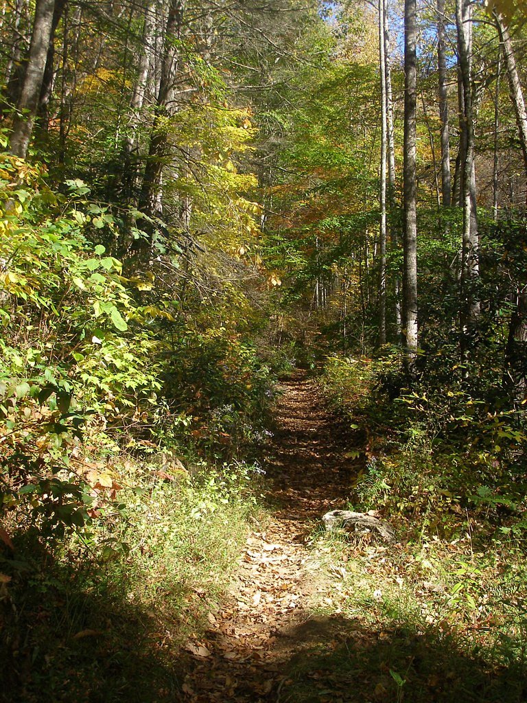
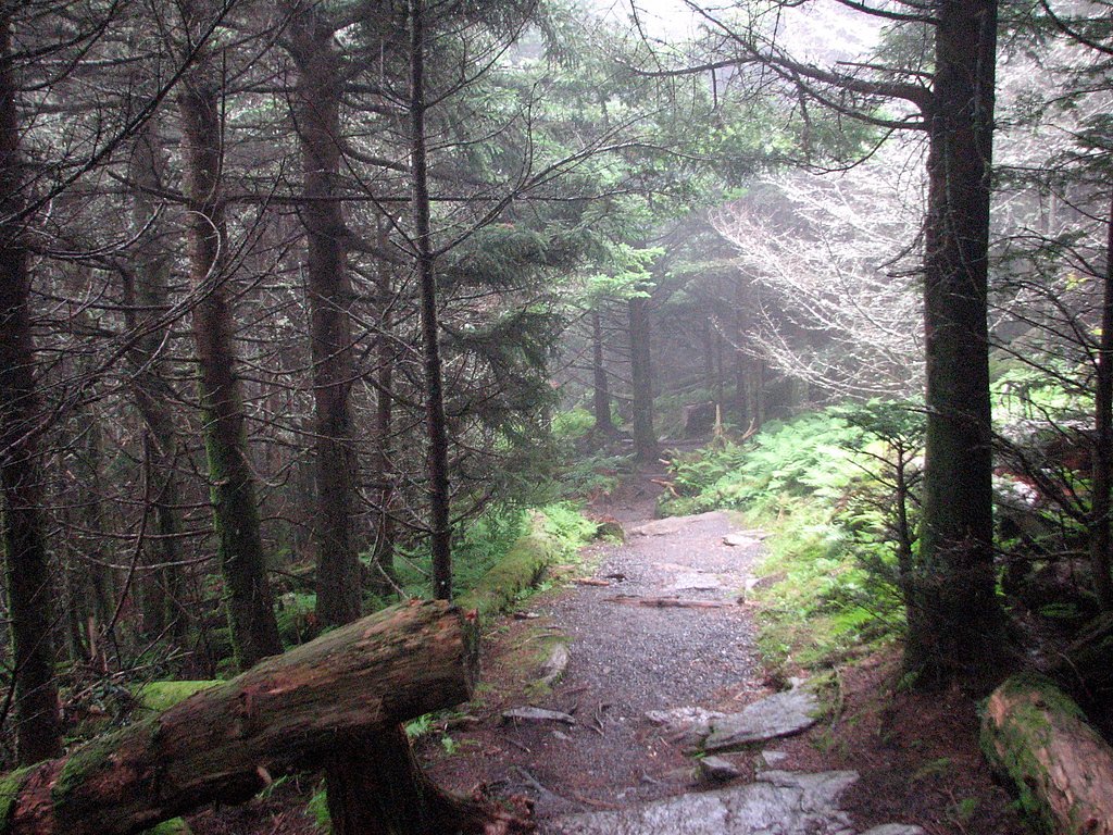
Douglas Falk is a lesser-known waterfall tucked into Pisgah National Forest in western North Carolina and managed by the U.S. Forest Service. While specific height and curtain details aren’t widely documented, the falls are accessible via an established USFS route—the Douglas Falls Trail (USFS Trail #TR162)—making it a rewarding destination for hikers seeking a quieter, backcountry cascade within the national forest. The hike to reach the falls is moderate and relatively short, so it’s suitable for a half-day outing. Plan for an out-and-back of roughly 2.4 miles (USFS GIS records list TR162 at 2.84 miles) with about 350 feet of elevation gain on a natural tread. Camping in Pisgah National Forest is nearby (the closest campground is about 4.58 km away) if you want to turn the trip into an overnight stay managed under USFS recreation rules.
The Setting
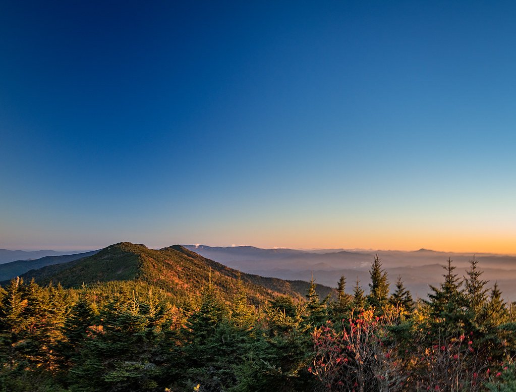
Douglas Falk sits at 3,455 feet within Pisgah National Forest, fed by the Beetree Creek, in the mountains of North Carolina.
Trail & Hike Details
The Approach
The moderate hike follows Douglas Falls (#TR162), a 2.4-mile out-and-back trail over natural surface. Expect 350 feet of elevation gain. The trail is developed (Class 3).
USFS Trail
DOUGLAS FALLS #TR162
Trail Class
Developed
Surface
USFS Segment
2.84 miTrail Description
USFS Trail: Douglas Falls (TR162). Trail type: out-and-back, commonly listed as about 2.4 miles round-trip (USFS GIS reports 2.84 miles). Elevation gain: approximately 350 feet. Difficulty: moderate. Surface: native material (natural tread). Class: 3 per USFS designation. Trail is managed within Pisgah National Forest by the U.S. Forest Service; expect a primarily natural singletrack with typical forest-grade conditions.
What to Expect
Expect a potentially remote and less-visited waterfall. Conditions and accessibility may vary, and the area may not have marked trails or facilities.
Accessibility
The trail is not wheelchair accessible. Uneven terrain and elevation changes require steady footing.
Frequently Asked Questions
🐶 Are Dogs Allowed at Douglas Falk?
❌ Dogs are not allowed
Are There Any Fees or Permits Required?
🆖 No fees required
🏊 Is There Swimming at Douglas Falk?
❌ Swimming is not allowed
When to Visit
Spring and fall are typically the best times to visit waterfalls in North Carolina due to favorable weather and water flow.
Seasonal Access
The best time to visit is Spring, Summer, and Fall. Winter access may be limited. Check with Pisgah National Forest for seasonal road closures.
Safety Information
Visitors should be cautious of slippery rocks, uneven terrain, and potential wildlife encounters. Always inform someone of your plans if visiting remote areas.
Current Water Conditions
3 ft³/s
Current discharge — how much water is flowing
About average for this time of year
Based on 92 years of record
1.46 ft
Water depth at gauge
7-Day Discharge Trend
What does this mean for your visit?
Flow is about average for this time of year.
About This Gauge
This gauge is on a nearby waterway and may not reflect exact conditions at the falls.
7-Day Flow Outlook
Based on the USGS gauge BEETREE CREEK NEAR SWANNANOA, NC (9 km away).
Today
Roaring
3 cfs
6/10Tomorrow
Roaring
3 cfs
6/10Mon
Roaring
3 cfs
6/10Tue
Roaring
3 cfs
6/10Wed
Roaring
3 cfs
9/10Thu
Strong
3 cfs
10/10Fri
Roaring
3 cfs
6/10Best window: Thu — strong flow, sunny (trip score 10/10).
Best time of year: this gauge typically runs highest from early February to early May, peaking in March.
How we calculate this
This is a transparent outlook, not a precise forecast. We take the waterfall's current flow strength (how it ranks against its historical normal for today, from the nearest USGS stream gauge), carry that ranking forward along the gauge's seasonal curve, and nudge it for forecast rain. Confidence is highest for the next day or two and falls further out. Always check official conditions and your own judgment before visiting — high flows can be dangerous.
Know when to go.
Get a free email alert when waterfalls near Barnardsville hit peak flow. We only send when conditions are worth the trip — no weekly newsletters, no spam.
Weather Forecast
Location & Access
Getting There
Details about the exact location and access to Douglas Falk are unclear. It is recommended to consult local hiking resources or park services for directions.
Get Directions on Google MapsParking
Parking information is not available. Visitors should prepare for limited or no designated parking areas if the waterfall is in a remote location.
Elevation
3,455 feet above sea level
Coordinates
35.726781° N, -82.380125° W
Land Management
Managed by USFS
Visitor Tips & Gear
Bring a detailed map or GPS device if attempting to locate this waterfall. Be prepared for rugged terrain and ensure you have adequate supplies.
As an Amazon Associate, we earn from qualifying purchases.
With 2.4 miles and 350 ft of elevation gain, sturdy boots and trekking poles will help on this moderate trail. Sun exposure on the trail makes good sun protection a must in summer.

Columbia Watertight II Rain Jacket
Packs into its own pocket, seam-sealed, and keeps you dry from spray and surprise rain.

Earth Pak Waterproof Dry Bag
Keeps your phone and gear dry when waterfall mist soaks everything else.

Waterproof Phone Pouch (AiRunTech)
Cheap insurance — take photos right next to the falls without killing your phone.

Timberland Euro Sprint Mid Waterproof
Trusted waterproof boot with premium leather and grippy rubber sole — reliable on rocky, wet trails.

TrailBuddy Trekking Poles
Lightweight aluminum, cork grips, and flip-locks that actually hold — a best-seller for good reason.

Polarized Sunglasses (Knockaround)
Cuts glare off the water so you actually see the falls — and your photos turn out better too.
Where to Stay

The Farmhouse at Wolfehaven

Apt with Wraparound Deck and Epic Views in Burnsville!

Serenity Views Comfort - Close to City & Parkway!

Luxury Cabin 45 Min to Asheville Hot Tub & Fire pit
Browse vacation cabins and private rentals nearby
Unique outdoor stays — tents, yurts, and treehouses
Rent a campervan or RV for your waterfall road trip
Some links are affiliate links. We may earn a commission at no extra cost to you.
Nearby Campground
Pisgah National Forest
2.8 miles away · 0 sites
The Pisgah National Forest is a land of mile-high peaks, cascading waterfalls, and heavily forested slopes. Comprised of over 500,000 acres, the Pisgah is primarily a hardwood forest with whitewater rivers, waterfalls and hundreds of miles of trails. This national forest is home of the first tract of land purchased under the Weeks Act of 1911 which led to the creation of the national forests in the eastern United States. It is also home of the first school of forestry in the United States, now pr
Book on Recreation.govNearby Hot Springs
Hot springs near Barnardsville, North Carolina

Looking for a soak after your hike? Explore more hot springs near Barnardsville, North Carolina on SoakingSprings.
Explore North Carolina springsAdditional Information
Nearby Attractions
North Carolina is home to many waterfalls and hiking trails. Nearby attractions may include other waterfalls or scenic areas, but specific recommendations are unavailable.
Wildlife
The area may host typical North Carolina wildlife such as deer, birds, and small mammals. Be cautious of snakes and other potentially hazardous animals.
Cities near Douglas Falk
Nearby Waterfalls
Writing about Douglas Falk? Embed this waterfall on your site for free.