Difficulty
Moderate
Trail Length
2.4 miles
Trail Type
Out And Back
Elevation Gain
350 ft
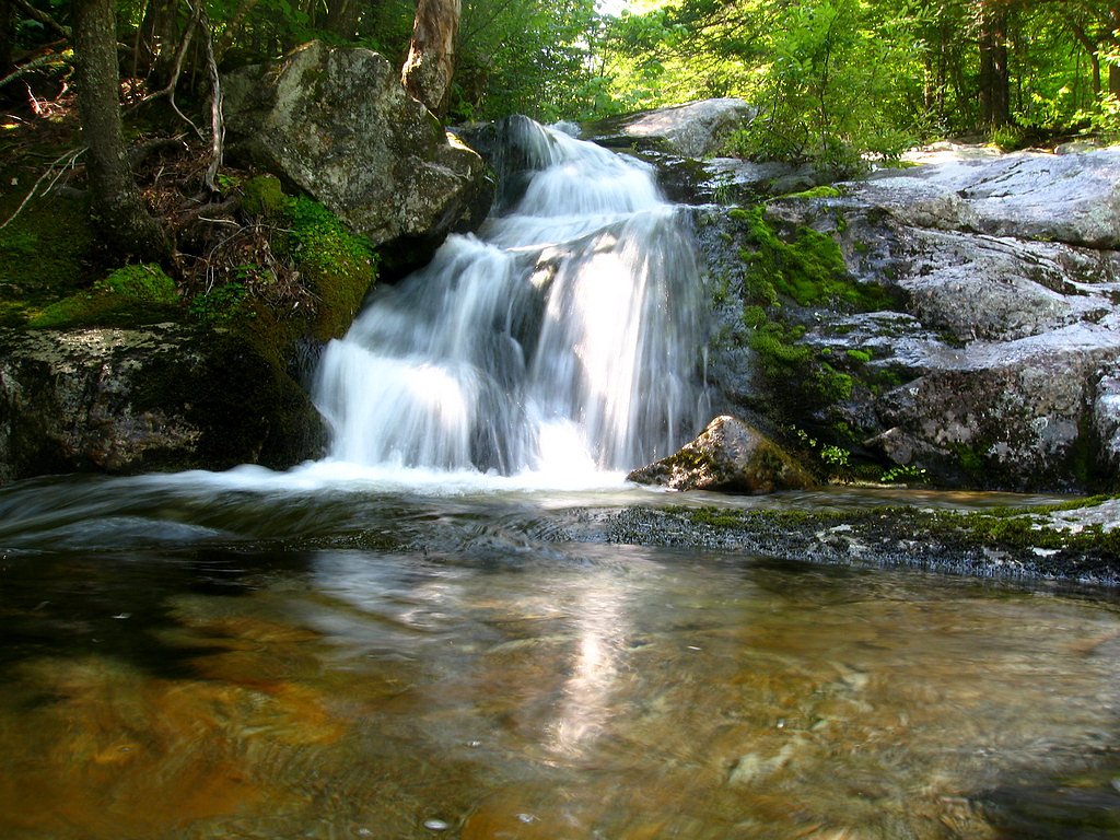
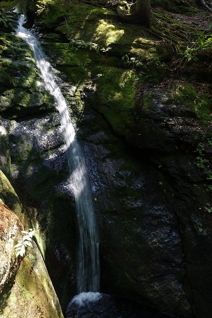
About Mad River Falls
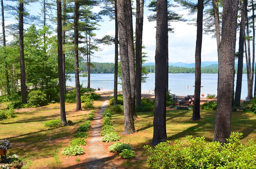
Mad River Falls sits tucked into the forested slopes of the White Mountain National Forest, offering a quietly scenic destination for hikers who enjoy a shorter, rewarding outing. The cascade is reached via a short USFS-designated spur (Bickford Brook Spur A, Trail #31852A) that drops into the riparian corridor; the approach through mixed woods makes this feel like a genuine hidden gem without a long trek. The falls and trail are managed by the U.S. Forest Service as part of the national forest, and the outing pairs well with nearby camping — Basin Campground is about 2.67 km away if you want to make a night of it. Expect a moderate overall hike with some steady climbing on the approach, and bring sturdy shoes for the native-surface spur that leads down to the water.
The Setting
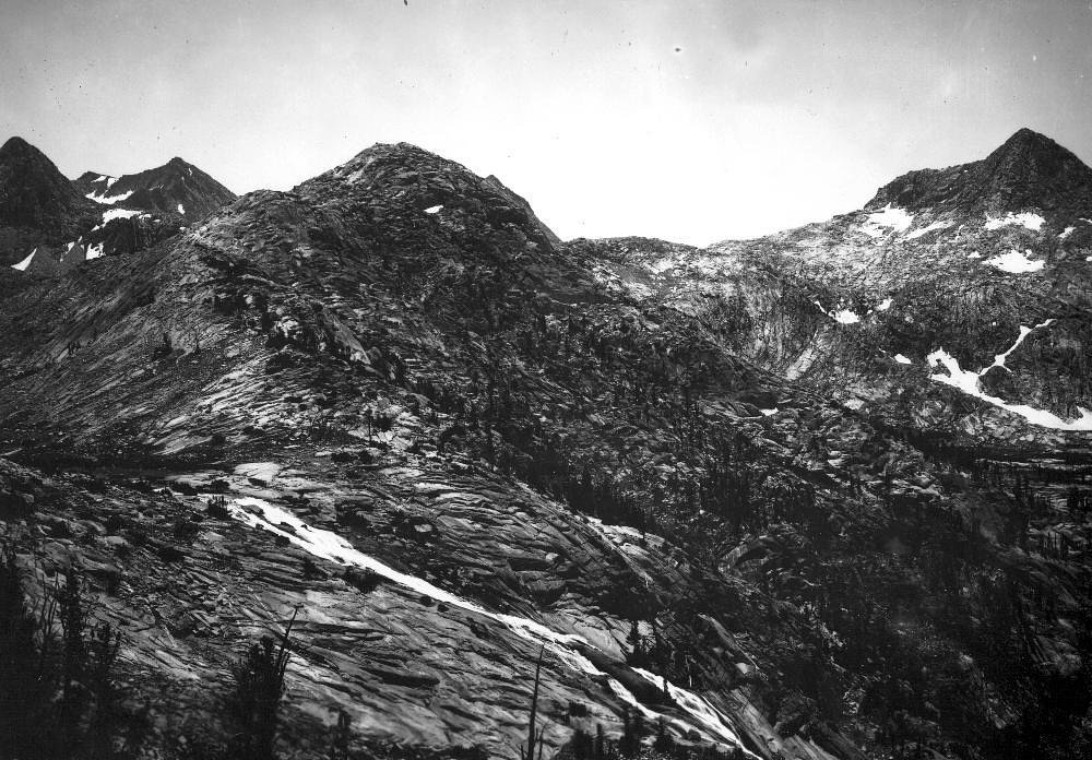
Mad River Falls sits at 974 feet within White Mountain National Forest, fed by the Wild River, in the foothills of Maine.
Trail & Hike Details
The Approach
The moderate hike follows Bickford Brook Spur A (#31852A), a 2.4-mile out-and-back trail over natural surface. Expect 350 feet of elevation gain with grades of 12-20%. The trail is moderately developed (Class 2).
USFS Trail
BICKFORD BROOK SPUR A #31852A
Trail Class
Moderately Developed
Surface
Avg Grade
USFS Segment
0.08 miTrail Description
The official USFS spur to Mad River Falls is Bickford Brook Spur A (Trail #31852A): a short (0.08 GIS miles) class 2 segment surfaced with native material and typically pitching at a 12–20% grade as it descends toward the brook. The full outing is commonly listed as a 2.4-mile out-and-back with roughly 350 feet of elevation gain and a moderate difficulty rating. The main tread is generally natural and wooded; expect uneven ground in places, so good footwear and caution on the steeper spur are recommended.
What to Expect
Dogs are welcome.
Accessibility
The trail is not wheelchair accessible. Uneven terrain and elevation changes require steady footing.
Frequently Asked Questions
🐶 Are Dogs Allowed at Mad River Falls?
✅ Dogs are allowed
Are There Any Fees or Permits Required?
🆖 No fees required
🏊 Is There Swimming at Mad River Falls?
❌ Swimming is not allowed
When to Visit
Spring and early summer are ideal times to visit, as the waterfall is likely to have the most water flow due to snowmelt and seasonal rains.
Seasonal Access
The best time to visit is Spring, Summer, and Fall. Winter access may be limited. Check with White Mountain National Forest for seasonal road closures.
Safety Information
The trail may be slippery near the falls, especially after rain. Visitors should exercise caution and stay on marked paths. Cell phone service may be limited in the area, so plan accordingly.
Current Water Conditions
99 ft³/s
Current discharge — how much water is flowing
About average for this time of year
Based on 61 years of record
1.92 ft
Water depth at gauge
7-Day Discharge Trend
What does this mean for your visit?
Flow is about average for this time of year.
About This Gauge
This gauge is on a nearby waterway and may not reflect exact conditions at the falls.
7-Day Flow Outlook
Based on the USGS gauge Wild River at Gilead, Maine (12 km away).
Today
Low
107 cfs
4/10Tomorrow
Moderate
104 cfs
4/10Sun
Moderate
115 cfs
4/10Mon
Low
100 cfs
6/10Tue
Low
104 cfs
4/10Wed
Low
97 cfs
4/10Thu
Moderate
92 cfs
4/10Best window: Mon — low flow, mostly sunny (trip score 6/10).
Best time of year: this gauge typically runs highest from mid March to early June, peaking in April.
How we calculate this
This is a transparent outlook, not a precise forecast. We take the waterfall's current flow strength (how it ranks against its historical normal for today, from the nearest USGS stream gauge), carry that ranking forward along the gauge's seasonal curve, and nudge it for forecast rain. Confidence is highest for the next day or two and falls further out. Always check official conditions and your own judgment before visiting — high flows can be dangerous.
Know when to go.
Get a free email alert when waterfalls near Bethel hit peak flow. We only send when conditions are worth the trip — no weekly newsletters, no spam.
Weather Forecast
Location & Access
Getting There
Mad River Falls is located near the town of Batchelders Grant in Oxford County, Maine. Access typically involves driving on rural roads, and the trailhead may be unmarked or difficult to locate. Visitors are advised to use GPS coordinates or consult local hiking resources for precise directions.
Get Directions on Google MapsParking
Parking is limited and may consist of a small pull-off area near the trailhead. Visitors should plan accordingly and avoid blocking access roads.
Elevation
974 feet above sea level
Coordinates
44.288398° N, -71.006184° W
Land Management
Managed by USFS
Visitor Tips & Gear
Bring bug spray during the warmer months, as mosquitoes and other insects may be present. Wear sturdy shoes, as the trail can be uneven in spots. Check weather conditions before visiting, as the trail may become muddy after rain.
As an Amazon Associate, we earn from qualifying purchases.
With 2.4 miles and 350 ft of elevation gain, sturdy boots and trekking poles will help on this moderate trail. Sun exposure on the trail makes good sun protection a must in summer.

Columbia Watertight II Rain Jacket
Packs into its own pocket, seam-sealed, and keeps you dry from spray and surprise rain.

Earth Pak Waterproof Dry Bag
Keeps your phone and gear dry when waterfall mist soaks everything else.

Waterproof Phone Pouch (AiRunTech)
Cheap insurance — take photos right next to the falls without killing your phone.

Timberland Euro Sprint Mid Waterproof
Trusted waterproof boot with premium leather and grippy rubber sole — reliable on rocky, wet trails.

TrailBuddy Trekking Poles
Lightweight aluminum, cork grips, and flip-locks that actually hold — a best-seller for good reason.

Polarized Sunglasses (Knockaround)
Cuts glare off the water so you actually see the falls — and your photos turn out better too.
Where to Stay

White Mountains Getaway with amazing views!

Town & Country Inn & Resort

Top Notch Inn

The Glen House
Browse vacation cabins and private rentals nearby
Unique outdoor stays — tents, yurts, and treehouses
Rent a campervan or RV for your waterfall road trip
Some links are affiliate links. We may earn a commission at no extra cost to you.
Nearby Campground
BASIN CAMPGROUND
1.7 miles away · 21 sites
Overview Basin Campground is located in a rustic, remote part of White Mountain National Forest in New Hampshire, about 15 miles north of Fryeburg, Maine. It is a small facility with access to hiking and mountain biking trails and proximity to a small pond for fishing and canoeing. The White Mountains boast pristine forests, clear mountain streams and rivers and the tallest peaks in the Northeast. The forest encompasses nearly 800,000 acres in New Hampshire and western Maine, and is one of the mo
Book on Recreation.govAdditional Information
Nearby Attractions
Grafton Notch State Park and Screw Auger Falls are located nearby and offer additional hiking and sightseeing opportunities.
Wildlife
The area is home to a variety of wildlife, including birds, deer, and small mammals. Visitors should be mindful of their surroundings and avoid disturbing the natural habitat.
Cities near Mad River Falls
Nearby Waterfalls
Other waterfalls named Mad River Falls
1 other waterfall shares this name across the U.S.
Writing about Mad River Falls? Embed this waterfall on your site for free.