Giant Falls
By Armen Suny · Last verified May 2026
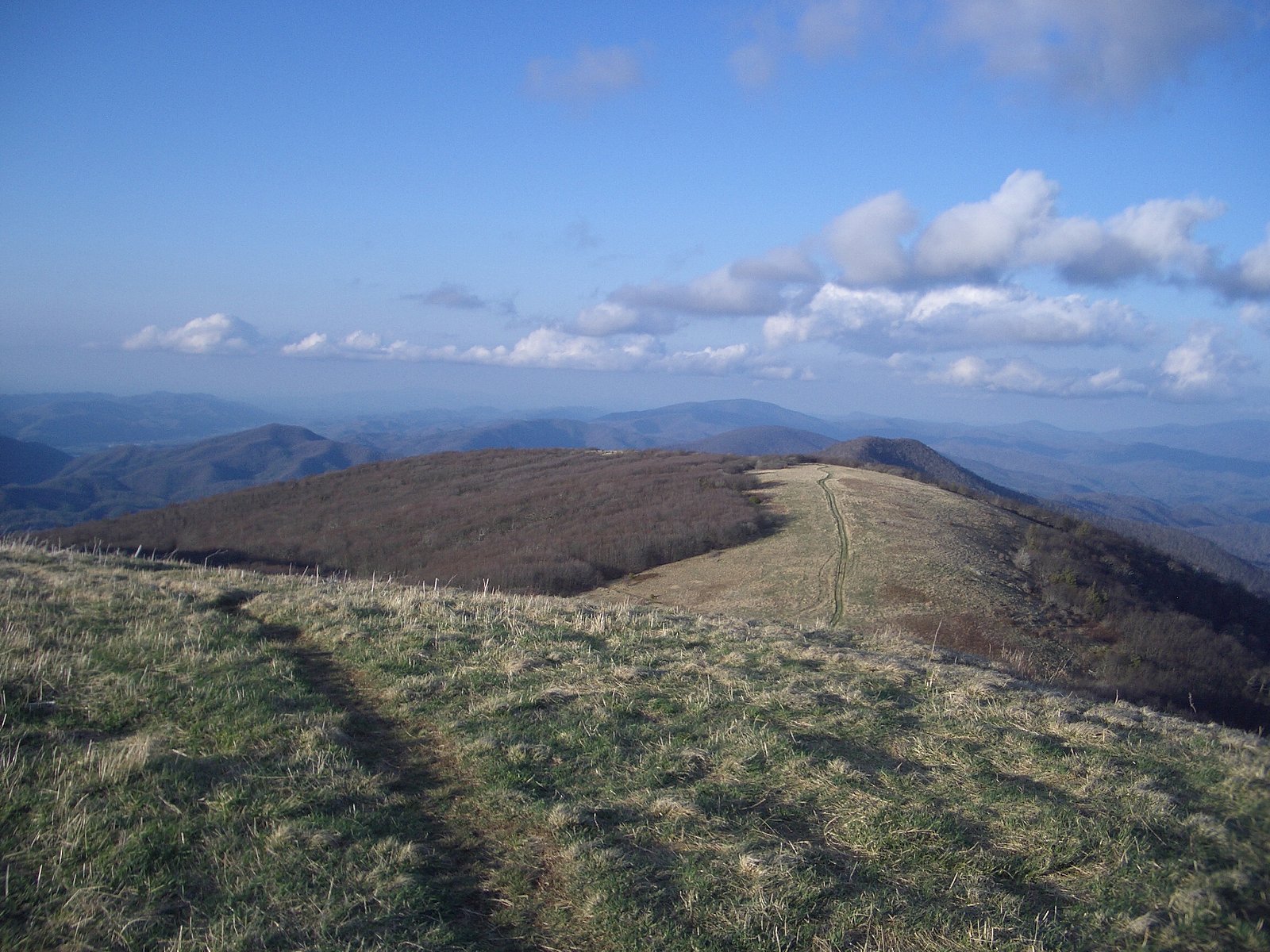
Photo Credits (5)
Difficulty
Moderate
Trail Length
2.5 miles
Trail Type
Out And Back
Elevation Gain
500 ft
About Giant Falls
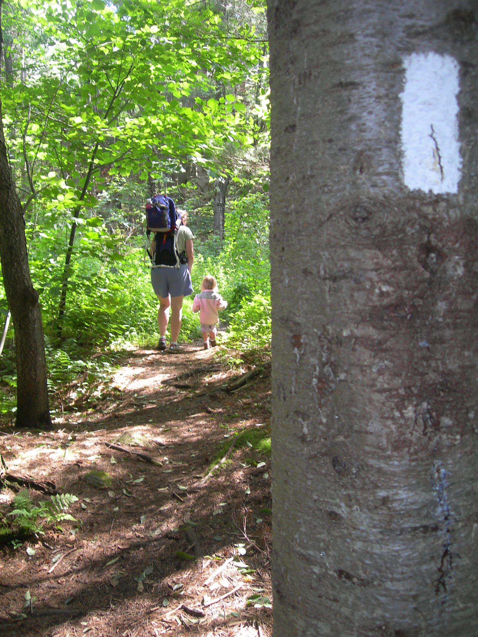
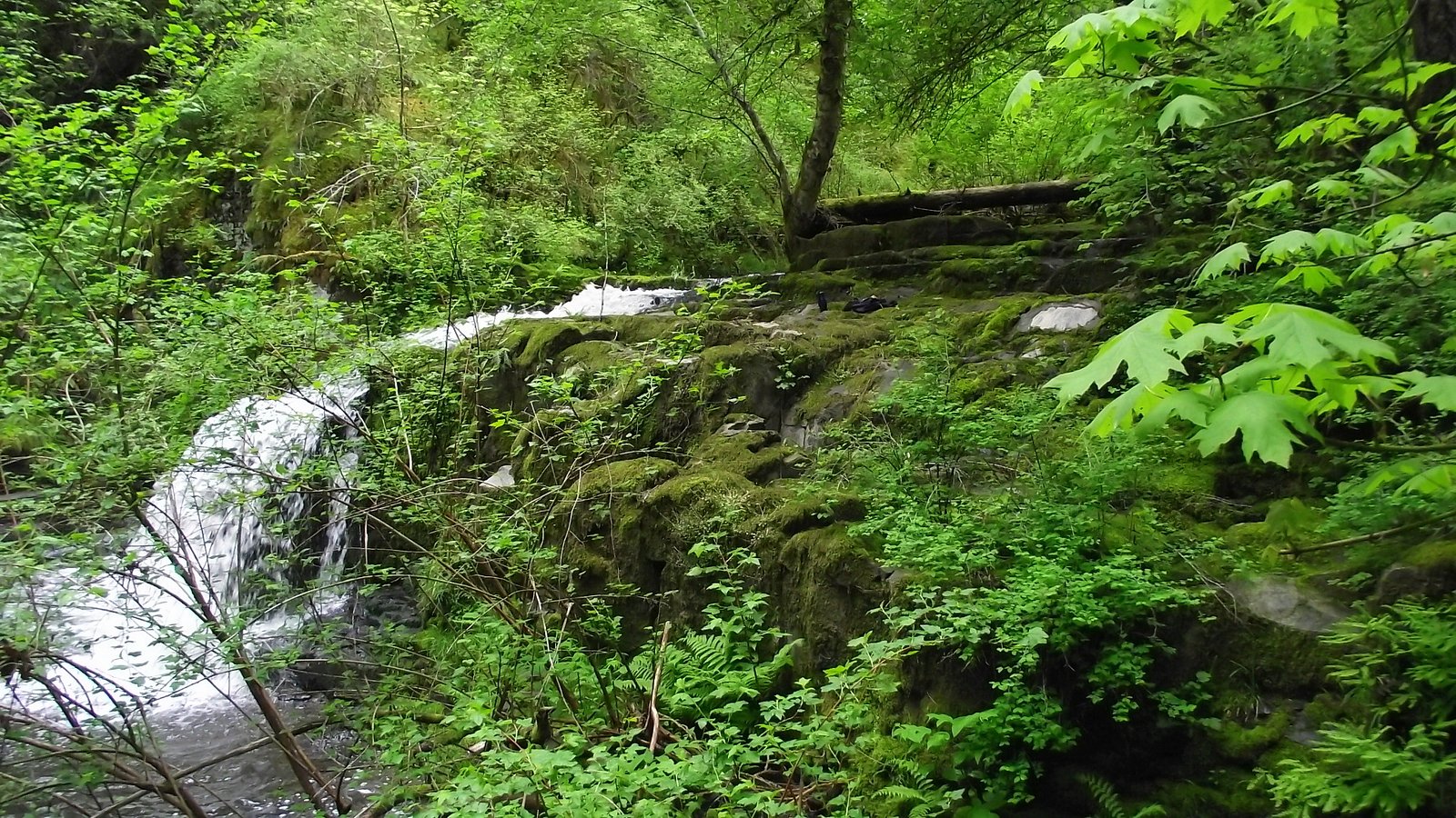
Giant Falls is a picturesque cascade tucked into the White Mountains of New Hampshire and reached via a stretch of the Mahoosuc Trail. Nestled along the Appalachian National Scenic Trail — a National Scenic Trail managed by the National Park Service — the falls sit amid quiet, mossy forest and make a rewarding destination for hikers seeking a classic New England waterfall experience. The hike to the viewing area is moderate in length and effort: the route is an out-and-back of about 2.5 miles with roughly 500 feet of elevation gain. Expect a well-marked woodland approach that opens to scenic pools and rock ledges at the falls; the setting is inviting for photographers and day-hikers looking for a short, scenic outing on federally managed trail lands.
The Setting
Giant Falls sits at 1,591 feet within Appalachian National Scenic Trail, fed by the Androscoggin River, in the hills of New Hampshire.
Nearby Falls Worth Visiting
Dryad Falls, the tallest waterfall in New Hampshire at 300 feet, lies 1.6 miles to the east.
Trail & Hike Details
The Approach
The moderate 2.5-mile out-and-back trail gains 500 feet of elevation on the way to the falls.
Trail Description
Trail: Mahoosuc Trail (out-and-back). Distance: 2.5 miles round-trip. Elevation gain: ~500 feet. Difficulty: Moderate. The trail follows well-marked forest tread through dense stands with occasional rocky sections; footing can be slick when wet. USFS-specific surface, grade, and trail-class details are not provided in the available data, so hikers should be prepared for natural dirt and rock surfaces and moderate uphill sections on the approach.
What to Expect
Dogs are welcome.
Accessibility
The trail is not wheelchair accessible. Uneven terrain and elevation changes require steady footing.
Frequently Asked Questions
🐶 Are Dogs Allowed at Giant Falls?
✅ Dogs are allowed
Are There Any Fees or Permits Required?
🆖 No fees required
🏊 Is There Swimming at Giant Falls?
❌ Swimming is not allowed
When to Visit
Spring and early summer are ideal times to visit, as the waterfall is typically at its fullest due to snowmelt and rainfall. Fall offers beautiful foliage, while summer provides warmer weather for hiking.
Seasonal Access
The best time to visit is Spring, Summer, and Fall. Winter access may be limited. Check the National Park Service website for current conditions.
Safety Information
Hikers should be prepared for changing weather conditions and carry a map or GPS device. The trail may be slippery after rain or during the spring thaw. Always stay on marked trails to avoid getting lost.
Current Water Conditions
3,340 ft³/s
Current discharge — how much water is flowing
Higher than usual for this time of year
Based on 106 years of record
4.52 ft
Water depth at gauge
7-Day Discharge Trend
What does this mean for your visit?
The water is flowing higher than usual for this time of year.
About This Gauge
7-Day Flow Outlook
Based on the USGS gauge Androscoggin River near Gorham, NH (7 km away).
Today
Barely Flowing
3340 cfs
5/10Tomorrow
Barely Flowing
3589 cfs
3/10Wed
Low
3883 cfs
3/10Thu
Barely Flowing
3521 cfs
5/10Fri
Low
3639 cfs
3/10Sat
Low
3862 cfs
3/10Sun
Low
3690 cfs
4/10Best window: Today — barely flowing flow, sunny (trip score 5/10).
Best time of year: this gauge typically runs highest from mid March to early June, peaking in May.
How we calculate this
This is a transparent outlook, not a precise forecast. We take the waterfall's current flow strength (how it ranks against its historical normal for today, from the nearest USGS stream gauge), carry that ranking forward along the gauge's seasonal curve, and nudge it for forecast rain. Confidence is highest for the next day or two and falls further out. Always check official conditions and your own judgment before visiting — high flows can be dangerous.
Know when to go.
Get a free email alert when waterfalls near Berlin hit peak flow. We only send when conditions are worth the trip — no weekly newsletters, no spam.
Weather Forecast
Location & Access
Getting There
Giant Falls is located near the town of Gorham, New Hampshire, and is accessible via the Mahoosuc Trail. The trailhead can be reached by driving to the Hogan Road area, which is commonly used as a starting point.
Get Directions on Google MapsParking
Parking is available near the trailhead, but spaces may be limited during peak seasons. Visitors are advised to arrive early to secure a spot.
Elevation
1,591 feet above sea level
Coordinates
44.432282° N, -71.107576° W
Land Management
Managed by NPS
Visitor Tips & Gear
Wear sturdy hiking shoes as the trail can be uneven and slippery. Bring insect repellent during the summer months, and carry plenty of water. Arrive early to avoid crowds and secure parking.
As an Amazon Associate, we earn from qualifying purchases.
With 2.5 miles and 500 ft of elevation gain, sturdy boots and trekking poles will help on this moderate trail. Sun exposure on the trail makes good sun protection a must in summer.
America the Beautiful Annual Pass
Covers entrance fees at 2,000+ federal recreation sites — required at most National Parks.

Polarized Sunglasses (Knockaround)
Cuts glare off the water so you actually see the falls — and your photos turn out better too.

Columbia Watertight II Rain Jacket
Packs into its own pocket, seam-sealed, and keeps you dry from spray and surprise rain.

Earth Pak Waterproof Dry Bag
Keeps your phone and gear dry when waterfall mist soaks everything else.

Waterproof Phone Pouch (AiRunTech)
Cheap insurance — take photos right next to the falls without killing your phone.

Timberland Euro Sprint Mid Waterproof
Trusted waterproof boot with premium leather and grippy rubber sole — reliable on rocky, wet trails.

TrailBuddy Trekking Poles
Lightweight aluminum, cork grips, and flip-locks that actually hold — a best-seller for good reason.
Where to Stay

Top Notch Inn

Town & Country Inn & Resort

White Mountains Getaway with amazing views!

The Glen House
Browse vacation cabins and private rentals nearby
Unique outdoor stays — tents, yurts, and treehouses
Rent a campervan or RV for your waterfall road trip
Some links are affiliate links. We may earn a commission at no extra cost to you.
Nearby Campground
Androscoggin Ranger District
6.9 miles away · 0 sites
Located on the northern part of the forest in New Hampshire and western Maine, the District offers a variety of recreational opportunities. Challenge yourself in the Presidential Range including Tuckerman Ravine or the Great Gulf Wilderness; enjoy the beauty of the area at places like Glen Ellis Falls; get away from it all along Scenic Route 113 or in the Wild River and Caribou-Speckled Wildernesses. Recreational opportunities abound: hiking, camping, hiking, biking, fishing, skiing (alpine, cros
Book on Recreation.govAdditional Information
Nearby Attractions
The nearby town of Gorham offers dining and lodging options. Other attractions in the White Mountains include Mount Washington and the Appalachian Trail.
Wildlife
The area is home to a variety of wildlife, including birds, deer, and small mammals. Visitors should be cautious of black bears and store food securely.
Cities near Giant Falls
Nearby Waterfalls
Other waterfalls named Giant Falls
1 other waterfall shares this name across the U.S.
Writing about Giant Falls? Embed this waterfall on your site for free.