Photo Credits (2)
Difficulty
Moderate
Trail Length
2.4 miles
Trail Type
Out And Back
Elevation Gain
350 ft
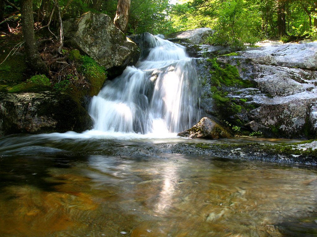
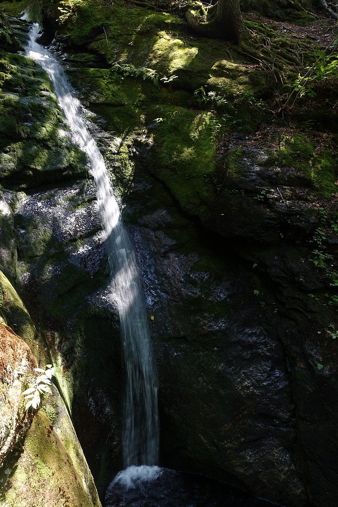
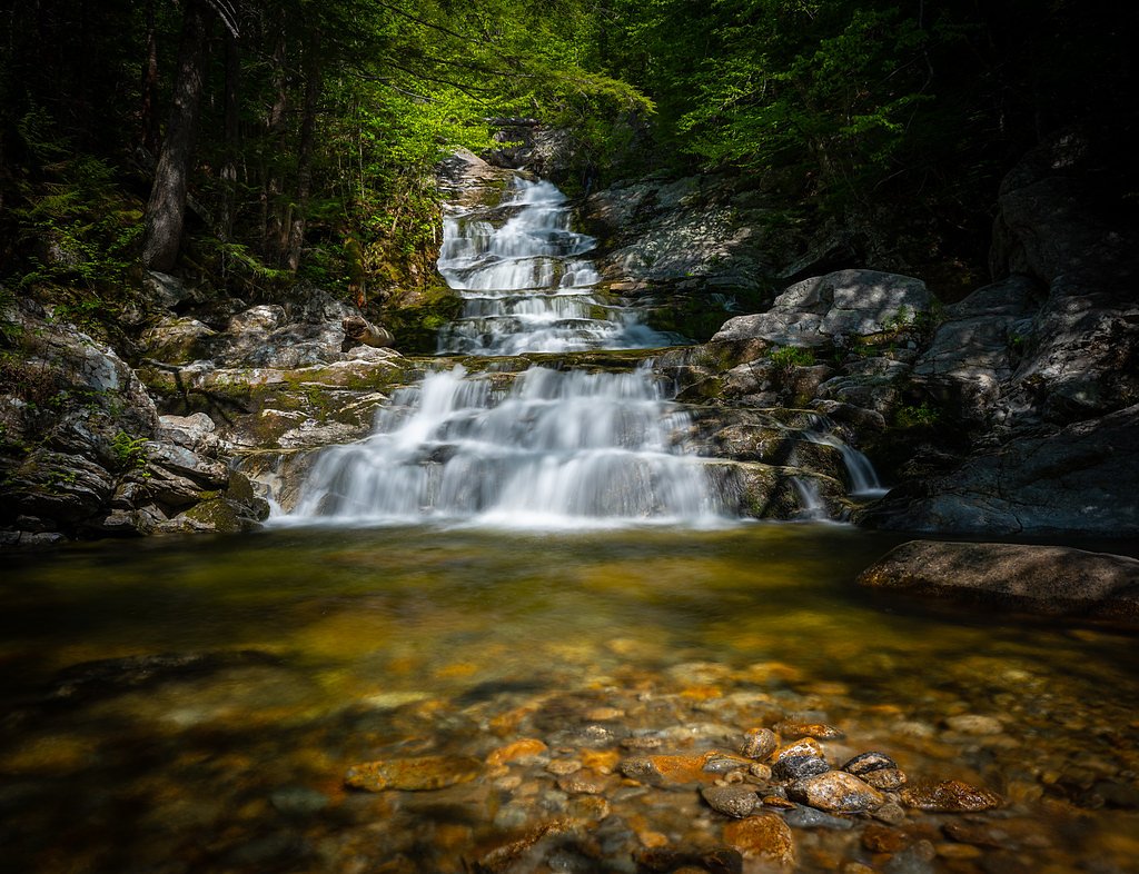
About Hermit Falls
Hermit Falls is a small, picturesque waterfall tucked into the White Mountain National Forest and managed by the U.S. Forest Service. The falls make a peaceful destination for hikers who want a relatively short outing with scenic payoffs: the typical route to the falls is a 2.4-mile out-and-back hike with roughly 350 feet of elevation gain and a moderate difficulty rating. The final approach to the falls follows the USFS BASIN TRAIL SPUR B (Trail #31850B), a short connector that drops down to the water. Because the spur to the falls is a native-surface, class 3 trail with a typical grade of 8–10%, sturdy footwear and basic trail awareness are recommended. If you want to make an overnight of it, Basin Campground is nearby (about 1.77 km), making Hermit Falls a convenient day trip or quick detour for campers exploring the White Mountain National Forest.
The Setting
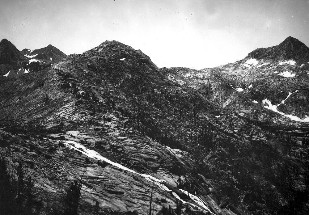
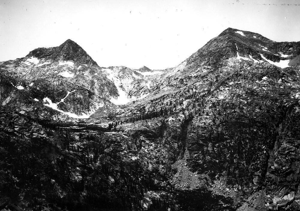
Hermit Falls sits at 781 feet within White Mountain National Forest, fed by the Peabody River, in the foothills of New Hampshire.
Trail & Hike Details
The Approach
The moderate hike follows Basin Trail Spur B (#31850B), a 2.4-mile out-and-back trail over natural surface. Expect 350 feet of elevation gain with grades of 8-10%. The trail is developed (Class 3).
USFS Trail
BASIN TRAIL SPUR B #31850B
Trail Class
Developed
Surface
Avg Grade
USFS Segment
0.22 miTrail Description
Out-and-back, 2.4 miles total with ~350 ft elevation gain, rated moderate. The final approach is on the USFS BASIN TRAIL SPUR B (Trail #31850B): class 3, surface = native material, typical grade = 8–10%, GIS length = 0.22 miles. Trail type: out-and-back. Expect native tread with moderate grades on the spur; the short connector is steeper than the overall route, so use caution on wet or uneven sections.
What to Expect
Dogs are welcome.
Accessibility
The trail is not wheelchair accessible. Uneven terrain and elevation changes require steady footing.
Frequently Asked Questions
🐶 Are Dogs Allowed at Hermit Falls?
✅ Dogs are allowed
Are There Any Fees or Permits Required?
🆖 No fees required
🏊 Is There Swimming at Hermit Falls?
❌ Swimming is not allowed
When to Visit
Spring and early summer are ideal for visiting Hermit Falls, as the water flow is typically strongest during these seasons.
Seasonal Access
The best time to visit is Spring, Summer, and Fall. Winter access may be limited. Check with White Mountain National Forest for seasonal road closures.
Safety Information
The trail may be slippery after rain, and visitors should exercise caution near the waterfall. Always stay on marked trails.
Current Water Conditions
95 ft³/s
Current discharge — how much water is flowing
Higher than usual for this time of year
Based on 12 years of record
2.65 ft
Water depth at gauge
7-Day Discharge Trend
What does this mean for your visit?
The water is flowing higher than usual for this time of year.
About This Gauge
This gauge is on a nearby waterway and may not reflect exact conditions at the falls.
7-Day Flow Outlook
Based on the USGS gauge Peabody River at Gorham, New Hampshire (16 km away).
Today
Low
108 cfs
3/10Tomorrow
Moderate
121 cfs
4/10Mon
Low
162 cfs
6/10Tue
Low
235 cfs
4/10Wed
Low
189 cfs
4/10Thu
Moderate
307 cfs
4/10Fri
Moderate
183 cfs
4/10Best window: Mon — low flow, mostly sunny (trip score 6/10).
Best time of year: this gauge typically runs highest from late March to mid June, peaking in April.
How we calculate this
This is a transparent outlook, not a precise forecast. We take the waterfall's current flow strength (how it ranks against its historical normal for today, from the nearest USGS stream gauge), carry that ranking forward along the gauge's seasonal curve, and nudge it for forecast rain. Confidence is highest for the next day or two and falls further out. Always check official conditions and your own judgment before visiting — high flows can be dangerous.
Know when to go.
Get a free email alert when waterfalls near North Conway hit peak flow. We only send when conditions are worth the trip — no weekly newsletters, no spam.
Weather Forecast
Location & Access
Getting There
Hermit Falls is located in the White Mountains region of New Hampshire. Access typically involves driving to a nearby trailhead, followed by a short hike.
Get Directions on Google MapsParking
Parking is available at a nearby trailhead, but spaces may be limited during peak seasons.
Elevation
781 feet above sea level
Coordinates
44.278676° N, -71.038684° W
Land Management
Managed by USFS
Visitor Tips & Gear
Arrive early during weekends or peak seasons to secure parking. Wear sturdy footwear as the trail may be muddy after rain.
As an Amazon Associate, we earn from qualifying purchases.
With 2.4 miles and 350 ft of elevation gain, sturdy boots and trekking poles will help on this moderate trail. Sun exposure on the trail makes good sun protection a must in summer.

Polarized Sunglasses (Knockaround)
Cuts glare off the water so you actually see the falls — and your photos turn out better too.

Columbia Watertight II Rain Jacket
Packs into its own pocket, seam-sealed, and keeps you dry from spray and surprise rain.

Earth Pak Waterproof Dry Bag
Keeps your phone and gear dry when waterfall mist soaks everything else.

Waterproof Phone Pouch (AiRunTech)
Cheap insurance — take photos right next to the falls without killing your phone.

Timberland Euro Sprint Mid Waterproof
Trusted waterproof boot with premium leather and grippy rubber sole — reliable on rocky, wet trails.

TrailBuddy Trekking Poles
Lightweight aluminum, cork grips, and flip-locks that actually hold — a best-seller for good reason.
Where to Stay

White Mountains Getaway with amazing views!

Town & Country Inn & Resort

Top Notch Inn

The Glen House
Browse vacation cabins and private rentals nearby
Unique outdoor stays — tents, yurts, and treehouses
Rent a campervan or RV for your waterfall road trip
Some links are affiliate links. We may earn a commission at no extra cost to you.
Nearby Campground
BASIN CAMPGROUND
1.1 miles away · 21 sites
Overview Basin Campground is located in a rustic, remote part of White Mountain National Forest in New Hampshire, about 15 miles north of Fryeburg, Maine. It is a small facility with access to hiking and mountain biking trails and proximity to a small pond for fishing and canoeing. The White Mountains boast pristine forests, clear mountain streams and rivers and the tallest peaks in the Northeast. The forest encompasses nearly 800,000 acres in New Hampshire and western Maine, and is one of the mo
Book on Recreation.govAdditional Information
Nearby Attractions
Nearby attractions include other waterfalls in the White Mountains region, hiking trails, and scenic viewpoints.
Wildlife
The area is home to various wildlife, including birds, squirrels, and occasionally deer. Visitors should be cautious of ticks.
Cities near Hermit Falls
Nearby Waterfalls
Writing about Hermit Falls? Embed this waterfall on your site for free.