
Photo Credits (4)
Difficulty
Moderate
Trail Length
2.4 miles
Trail Type
Out And Back
Elevation Gain
350 ft
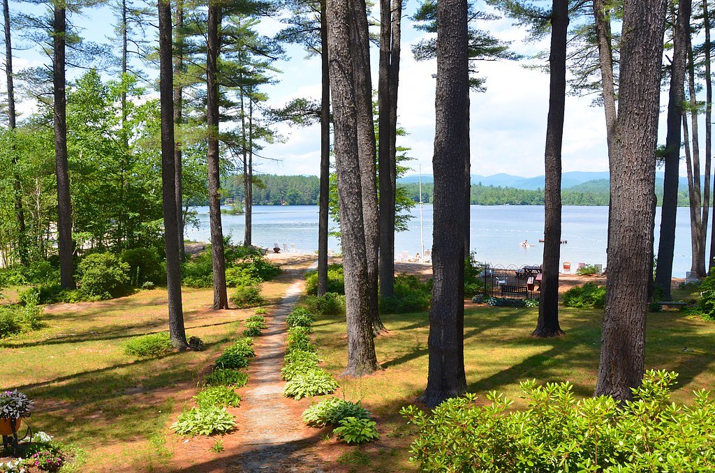
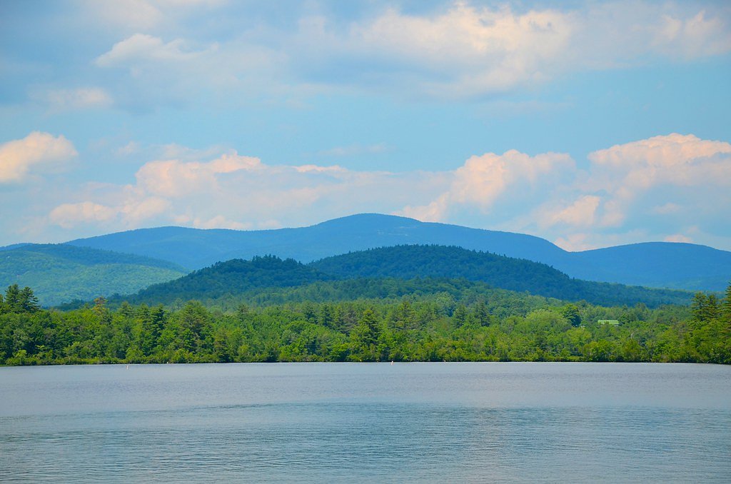
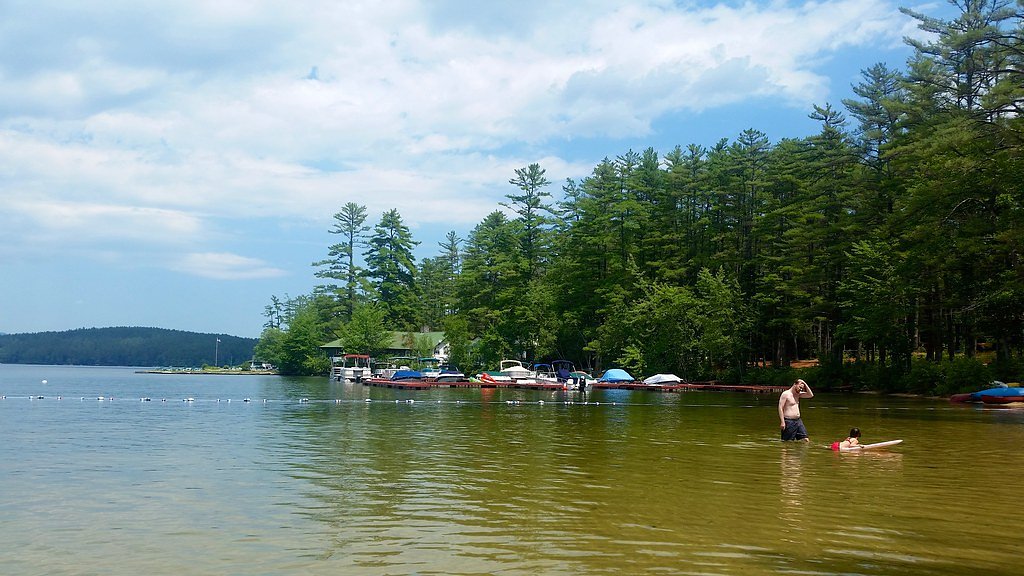
About Kezar Falls
Kezar Falls is a small, picturesque cascade in Maine set in a quiet river corridor that rewards a short hike with classic Maine woodland scenery and the sound of rushing water. The falls sit on the Kezar River and are a lovely destination for photographers and hikers looking for a peaceful natural stop without a long approach. The setting feels intimate and is best enjoyed at a relaxed pace. Access to Kezar Falls is most commonly made via a 2.4-mile out-and-back hike that climbs roughly 350 feet and is generally rated moderate in difficulty. The trail’s manageable length makes it a popular half-day outing for local hikers and visitors who want a mix of forest walking and a scenic waterfall finish.
The Setting
Kezar Falls sits at 600 feet along the Little Androscoggin River, in the foothills of Maine.
Trail & Hike Details
The Approach
The moderate 2.4-mile out-and-back trail gains 350 feet of elevation on the way to the falls.
Trail Description
Out-and-back route, 2.4 miles round trip with approximately 350 feet of elevation gain; difficulty: moderate. Specific USFS trail name/number, surface type, grade, and trail class were not provided in the available data.
What to Expect
Expect a peaceful and scenic spot with a small waterfall surrounded by natural beauty. The area may be less developed, so visitors should prepare for a rustic experience.
Accessibility
The trail is not wheelchair accessible. Uneven terrain and elevation changes require steady footing.
Frequently Asked Questions
🐶 Are Dogs Allowed at Kezar Falls?
❌ Dogs are not allowed
Are There Any Fees or Permits Required?
🆖 No fees required
🏊 Is There Swimming at Kezar Falls?
❌ Swimming is not allowed
When to Visit
Spring and early summer are ideal times to visit, as the water flow is typically stronger due to snowmelt and seasonal rains.
Seasonal Access
The best time to visit is Spring, Summer, and Fall. Winter access may be limited.
Safety Information
Visitors should be cautious of slippery rocks near the waterfall and avoid visiting during heavy rains or icy conditions. Cell service may be limited in the area, so plan accordingly.
Current Water Conditions
Based on a USGS gauge 15.4 miles away
62 ft³/s
Current discharge — how much water is flowing
About average for this time of year
Based on 104 years of record
2.79 ft
Water depth at gauge
7-Day Discharge Trend
What does this mean for your visit?
Flow is about average for this time of year.
About This Gauge
This gauge is on a regional waterway. Conditions at the falls may differ, especially after local rain.
7-Day Flow Outlook
Based on the USGS gauge Little Androscoggin River near South Paris, Maine (25 km away).
Today
Barely Flowing
67 cfs
3/10Tomorrow
Barely Flowing
63 cfs
4/10Sun
Low
69 cfs
3/10Mon
Barely Flowing
65 cfs
5/10Tue
Barely Flowing
59 cfs
3/10Wed
Low
62 cfs
4/10Thu
Low
59 cfs
3/10Best window: Mon — barely flowing flow, mostly sunny (trip score 5/10).
Best time of year: this gauge typically runs highest from mid March to late May, peaking in April.
How we calculate this
This is a transparent outlook, not a precise forecast. We take the waterfall's current flow strength (how it ranks against its historical normal for today, from the nearest USGS stream gauge), carry that ranking forward along the gauge's seasonal curve, and nudge it for forecast rain. Confidence is highest for the next day or two and falls further out. Always check official conditions and your own judgment before visiting — high flows can be dangerous.
Know when to go.
Get a free email alert when waterfalls near Bethel hit peak flow. We only send when conditions are worth the trip — no weekly newsletters, no spam.
Weather Forecast
Location & Access
Getting There
Kezar Falls is located near the town of Lovell, Maine. It can be accessed via local roads, but specific directions may vary depending on your starting point. Visitors are advised to use GPS or consult local maps for the most accurate route.
Get Directions on Google MapsParking
Parking availability is unclear, but there may be limited roadside parking near the falls. Visitors should plan accordingly and avoid blocking any private property or driveways.
Elevation
600 feet above sea level
Coordinates
44.198124° N, -70.814511° W
Visitor Tips & Gear
Wear sturdy footwear and bring a map or GPS device, as trails or access points may not be well-marked. Check local conditions before visiting, especially after heavy rains, as the terrain could become slippery.
As an Amazon Associate, we earn from qualifying purchases.
With 2.4 miles and 350 ft of elevation gain, sturdy boots and trekking poles will help on this moderate trail. Sun exposure on the trail makes good sun protection a must in summer.

Polarized Sunglasses (Knockaround)
Cuts glare off the water so you actually see the falls — and your photos turn out better too.

Columbia Watertight II Rain Jacket
Packs into its own pocket, seam-sealed, and keeps you dry from spray and surprise rain.

Earth Pak Waterproof Dry Bag
Keeps your phone and gear dry when waterfall mist soaks everything else.

Waterproof Phone Pouch (AiRunTech)
Cheap insurance — take photos right next to the falls without killing your phone.

Timberland Euro Sprint Mid Waterproof
Trusted waterproof boot with premium leather and grippy rubber sole — reliable on rocky, wet trails.

TrailBuddy Trekking Poles
Lightweight aluminum, cork grips, and flip-locks that actually hold — a best-seller for good reason.
Where to Stay

White Mountains Getaway with amazing views!

Noble House Inn

The Inn & More

Admiral Peary Inn
Browse vacation cabins and private rentals nearby
Unique outdoor stays — tents, yurts, and treehouses
Rent a campervan or RV for your waterfall road trip
Some links are affiliate links. We may earn a commission at no extra cost to you.
Nearby Campground
COLD RIVER
10.9 miles away · 14 sites
Overview Cold River Campground is located in a rustic, remote part of White Mountain National Forest in New Hampshire, about 15 miles north of Fryeburg, Maine. It is a small facility with access to hiking and mountain biking trails and proximity to a small pond for fishing and canoeing. The White Mountains boast pristine forests, clear mountain streams and rivers and the tallest peaks in the Northeast. The forest encompasses nearly 800,000 acres in New Hampshire and western Maine, and is one of t
Book on Recreation.govAdditional Information
Nearby Attractions
The town of Lovell offers additional outdoor activities, including hiking trails and access to Kezar Lake. The White Mountain National Forest is also within driving distance.
Wildlife
The area around Kezar Falls may host a variety of wildlife, including birds, deer, and small mammals. Visitors should respect the natural habitat and observe wildlife from a distance.
Cities near Kezar Falls
Nearby Waterfalls
Writing about Kezar Falls? Embed this waterfall on your site for free.