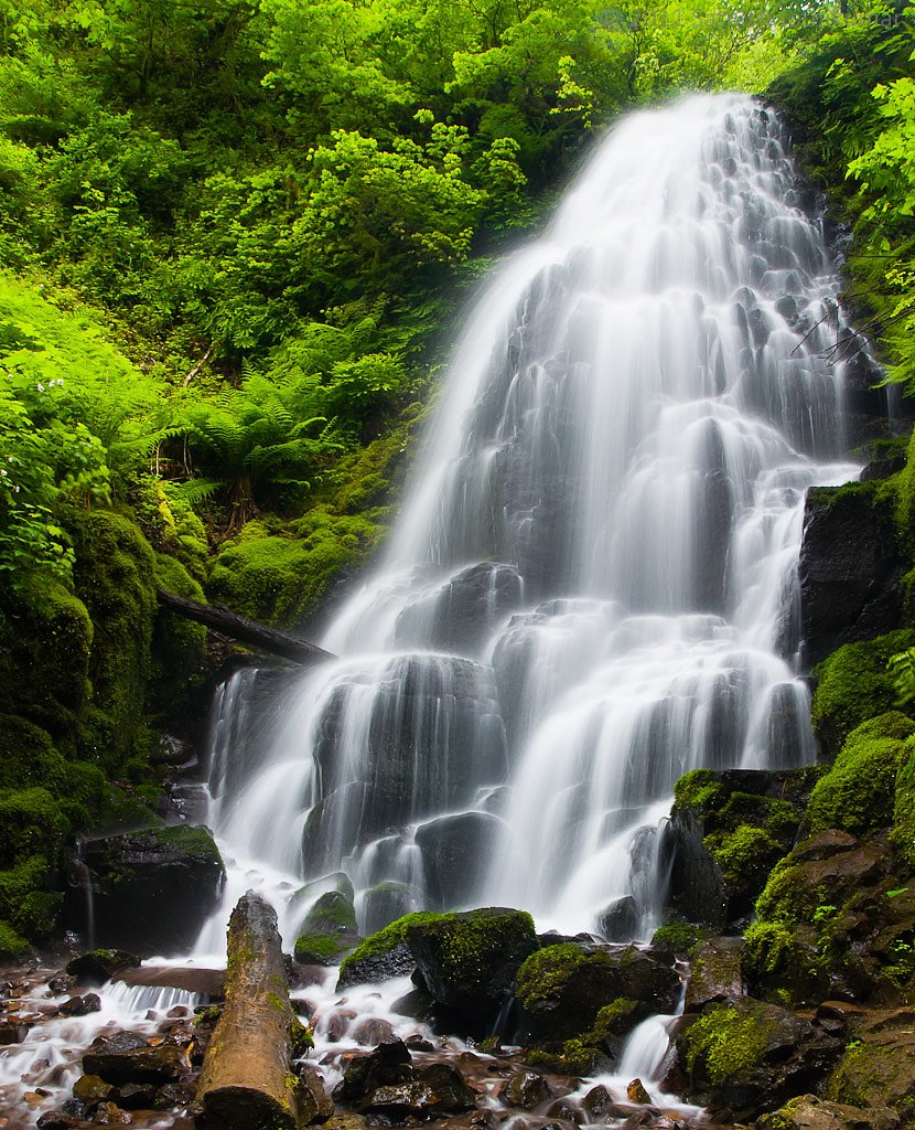
Lost Creek Falls
By Armen Suny · Last verified Mar 2026
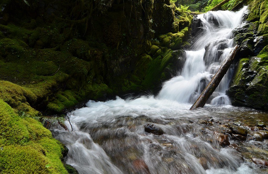

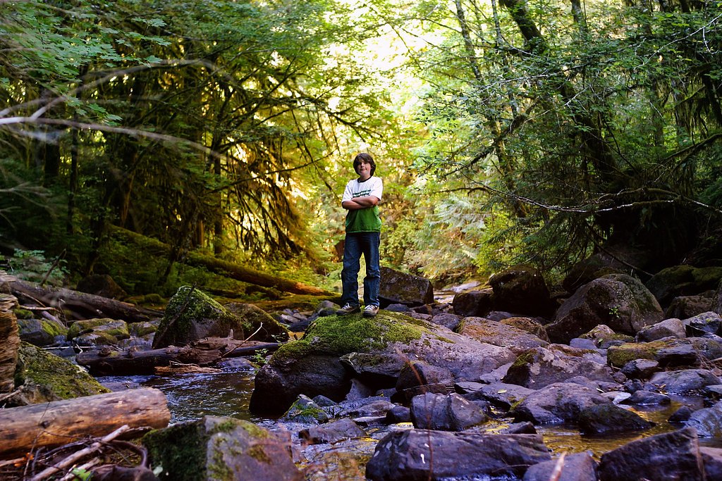
Photo Credits (5)
Difficulty
Moderate
Trail Length
2.4 miles
Trail Type
Out And Back
Elevation Gain
350 ft
About Lost Creek Falls
Lost Creek Falls is a serene and relatively lesser-known waterfall located in the Mount Hood National Forest in Oregon. It is surrounded by lush greenery and offers a peaceful retreat for visitors seeking a quiet nature experience.
The Setting
Lost Creek Falls sits at 1,473 feet along the South Umpqua River, in the foothills of Oregon.
Trail & Hike Details
The Approach
The moderate 2.4-mile out-and-back trail gains 350 feet of elevation on the way to the falls.
Trail Description
The trail to Lost Creek Falls is short and easy, making it suitable for most visitors. It winds through a forested area with minimal elevation gain, leading to a small but picturesque waterfall.
What to Expect
Dogs are welcome.
Accessibility
The trail is not wheelchair accessible. Uneven terrain and elevation changes require steady footing.
Frequently Asked Questions
🐶 Are Dogs Allowed at Lost Creek Falls?
✅ Dogs are allowed
Are There Any Fees or Permits Required?
🆖 No fees required
🏊 Is There Swimming at Lost Creek Falls?
❌ Swimming is not allowed
When to Visit
Spring and early summer are ideal times to visit, as the waterfall flow is typically stronger due to snowmelt. Fall offers beautiful foliage, while winter may bring icy conditions.
Seasonal Access
The best time to visit is Spring, Summer, and Fall. Winter access may be limited.
Safety Information
The trail may be slippery after rain or during winter months. Always stay on the designated trail to avoid damaging the environment or getting lost.
Current Water Conditions
Based on a USGS gauge 15.7 miles away
96 ft³/s
Current discharge — how much water is flowing
Much lower than usual for this time of year
Based on 1 years of record
0.89 ft
Water depth at gauge
75°F
ComfortablePleasant for swimming
7-Day Discharge Trend
What does this mean for your visit?
Flow is well below normal for this time of year, so the waterfall may be a trickle. The water is a comfortable 75 degrees F, pleasant for swimming.
About This Gauge
This gauge is on a regional waterway. Conditions at the falls may differ, especially after local rain.
7-Day Flow Outlook
Based on the USGS gauge SOUTH UMPQUA RIVER AT MELROSE, OR (25 km away).
Today
Barely Flowing
103 cfs
3/10Tomorrow
Low
103 cfs
3/10Sun
Low
96 cfs
4/10Mon
Low
88 cfs
4/10Tue
Barely Flowing
78 cfs
5/10Wed
Barely Flowing
69 cfs
5/10Thu
Barely Flowing
70 cfs
3/10Best window: Tue — barely flowing flow, mostly sunny (trip score 5/10).
Best time of year: this gauge typically runs highest from mid March to mid April, peaking in March.
How we calculate this
This is a transparent outlook, not a precise forecast. We take the waterfall's current flow strength (how it ranks against its historical normal for today, from the nearest USGS stream gauge), carry that ranking forward along the gauge's seasonal curve, and nudge it for forecast rain. Confidence is highest for the next day or two and falls further out. Always check official conditions and your own judgment before visiting — high flows can be dangerous.
Know when to go.
Get a free email alert when waterfalls near Lookingglass hit peak flow. We only send when conditions are worth the trip — no weekly newsletters, no spam.
Weather Forecast
Location & Access
Getting There
Lost Creek Falls is located near the Lost Creek Campground in the Mount Hood National Forest. It can be accessed via Forest Road 1825. Visitors should check local maps and trailhead signs for the most accurate directions.
Get Directions on Google MapsParking
Parking is available at the Lost Creek Campground or nearby trailhead areas. Availability may vary depending on the season and visitor volume.
Elevation
1,473 feet above sea level
Coordinates
43.158447° N, -123.732586° W
Visitor Tips & Gear
Wear sturdy shoes as the trail may be muddy, especially after rain. Bring a camera to capture the beauty of the falls and surrounding forest. Check weather conditions before visiting, as the trail may be slippery during wet seasons.
As an Amazon Associate, we earn from qualifying purchases.
With 2.4 miles and 350 ft of elevation gain, sturdy boots and trekking poles will help on this moderate trail. Sun exposure on the trail makes good sun protection a must in summer.

Polarized Sunglasses (Knockaround)
Cuts glare off the water so you actually see the falls — and your photos turn out better too.

Columbia Watertight II Rain Jacket
Packs into its own pocket, seam-sealed, and keeps you dry from spray and surprise rain.

Earth Pak Waterproof Dry Bag
Keeps your phone and gear dry when waterfall mist soaks everything else.

Waterproof Phone Pouch (AiRunTech)
Cheap insurance — take photos right next to the falls without killing your phone.

Timberland Euro Sprint Mid Waterproof
Trusted waterproof boot with premium leather and grippy rubber sole — reliable on rocky, wet trails.

TrailBuddy Trekking Poles
Lightweight aluminum, cork grips, and flip-locks that actually hold — a best-seller for good reason.
Where to Stay

Hampton Inn & Suites Roseburg

Holiday Inn Express & Suites Roseburg North by IHG

Terraluna Inn

Umpqua Valley Hotel
Browse vacation cabins and private rentals nearby
Unique outdoor stays — tents, yurts, and treehouses
Rent a campervan or RV for your waterfall road trip
Some links are affiliate links. We may earn a commission at no extra cost to you.
Additional Information
Nearby Attractions
Nearby attractions include the Lost Creek Campground, Trillium Lake, and other trails in the Mount Hood National Forest.
Wildlife
Visitors may encounter birds, deer, and other small forest animals. Be cautious of potential wildlife such as bears or cougars, though sightings are rare.
Cities near Lost Creek Falls
Other waterfalls named Lost Creek Falls
4 other waterfalls share this name across the U.S.
Writing about Lost Creek Falls? Embed this waterfall on your site for free.