
Looking Glass Falls
North Carolina • 60 ft
By Armen Suny · Last verified Sep 2026
LiDAR & 3D terrain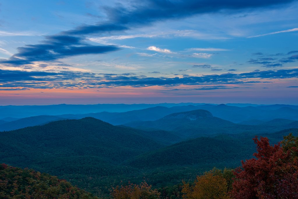


Photo Credits (5)
Difficulty
Drive Up
Trail Length
0.1 miles
Trail Type
Out And Back
Elevation Gain
50 ft
About Looking Glass Falls
Looking Glass Falls is one of the most iconic and easily accessible waterfalls in North Carolina, located in Pisgah National Forest. It is named after the nearby Looking Glass Rock, which reflects sunlight in winter, resembling a mirror. The waterfall cascades beautifully over a 60-foot drop, making it a popular destination for visitors year-round.
The Setting
Looking Glass Falls sits at 2,362 feet within Pisgah National Forest, in the hills of North Carolina. The falls drop 60 feet.
Height: 60 feet
Nearby Falls Worth Visiting
High Falls (150 ft) lies 4.1 miles to the northeast. Also nearby: Second Falls (50 ft, 4.7 mi) and Slick Rock Falls (30 ft, 1.7 mi).
Trail & Hike Details
The Approach
No hiking required. Looking Glass Falls is accessible by vehicle with a roadside viewing area.
USFS Trail
LOOKING GLASS ROCK #TR114
Trail Class
Developed
Surface
USFS Segment
3.06 miTrail Description
There is no formal hiking trail to reach Looking Glass Falls, as it is visible from the roadside. However, a short set of stairs leads down to the base of the falls for closer viewing.
What to Expect
The falls drop 60 feet. Dogs are welcome.
Accessibility
This waterfall is viewable from a vehicle-accessible area. No hiking is required.
Frequently Asked Questions
🐶 Are Dogs Allowed at Looking Glass Falls?
✅ Dogs are allowed
Are There Any Fees or Permits Required?
🆖 No fees required
🏊 Is There Swimming at Looking Glass Falls?
❌ Swimming is not allowed
When to Visit
The waterfall is beautiful year-round. Spring and summer offer lush greenery, fall provides vibrant foliage, and winter may bring icy formations on the falls.
Seasonal Access
The best time to visit is Spring, Summer, Fall, and Winter. Check with Pisgah National Forest for seasonal road closures.
Safety Information
The stairs and rocks near the base of the falls can be slippery, so exercise caution. Avoid climbing on rocks or entering the water, as currents can be strong and dangerous.
Current Water Conditions
These readings come from the USGS gauge on Davidson River, 3.9 miles away, not on Looking Glass Falls's own stream. Use them as a sign of whether the area is running wet or dry.
53 ft³/s
Current discharge — how much water is flowing
About average for this time of year
Based on 103 years of record
0.68 ft
Water depth at gauge
50°F
Very coldExpect numbness within minutes
7-Day Discharge Trend
What does this mean for your visit?
Flow is about average for this time of year. Water temperature is very cold at 50 degrees F, expect numbness within minutes.
About This Gauge
7-Day Flow Outlook
Based on the USGS gauge DAVIDSON RIVER NEAR BREVARD, NC (6 km away).
Today
Barely Flowing
53 cfs
5/10Tomorrow
Barely Flowing
53 cfs
5/10Sat
Barely Flowing
53 cfs
5/10Sun
Barely Flowing
53 cfs
5/10Mon
Barely Flowing
53 cfs
5/10Tue
Barely Flowing
53 cfs
5/10Wed
Barely Flowing
53 cfs
5/10Best window: Today — barely flowing flow, sunny (trip score 5/10).
How we calculate this
This is a transparent outlook, not a precise forecast. We take the waterfall's current flow strength (how it ranks against its historical normal for today, from the nearest USGS stream gauge), carry that ranking forward along the gauge's seasonal curve, and nudge it for forecast rain. Confidence is highest for the next day or two and falls further out. Always check official conditions and your own judgment before visiting — high flows can be dangerous.
Know when to go.
Get a free email alert when waterfalls near Brevard hit peak flow. We only send when conditions are worth the trip — no weekly newsletters, no spam.
Weather Forecast
The Terrain, Seen by LiDAR
Aircraft-mounted lasers measured this ground to within inches. Trees and buildings are digitally stripped away, leaving the bare shape of the land the water has carved.
The ground through the falls loses about 171 feet in steep steps rather than one leap. The falls are listed at 60 feet; the extra comes from the ravine that continues below the base. The ground at the falls is roughly 2,353 feet above sea level.
The whole reach is steep: about 186 feet of descent in the 500 feet above the falls and another 134 feet in the 500 feet below. The falls face northwest and stay mostly shaded, with soft, even light all day.
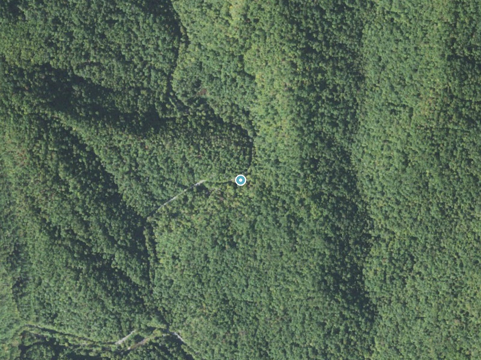
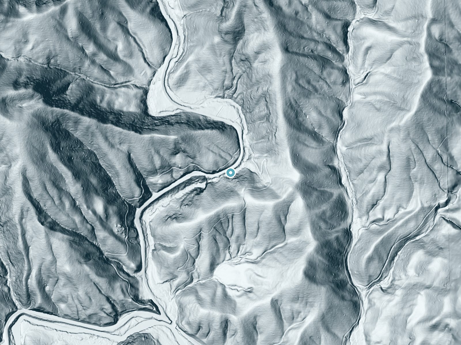
Drag to compare. The dot marks the waterfall. The frame is about a mile across.
- Ground elevation
- 2,353 feet
- Measured by 1-meter lidar
- Drop at the falls
- About 171 feet
- Change in ground height within ~250 feet of the falls
- Faces
- Northwest
- Mostly shaded, so the light stays soft and even all day.
A slice through the lidar ground surface, from above the falls to downstream (heading northwest).
Elevation data: USGS 3D Elevation Program. Aerial imagery: USGS The National Map. Public domain.
Location & Access
Getting There
Looking Glass Falls is located along U.S. Highway 276, about 5.5 miles north of Brevard, North Carolina. The waterfall is visible from the road, making it very easy to access.
Get Directions on Google MapsParking
There is a small parking area along the side of the road near the waterfall. Parking can fill up quickly during peak seasons, so arriving early is recommended.
Elevation
2,362 feet above sea level
Coordinates
35.296500° N, -82.767905° W
Land Management
Managed by USFS
Visitor Tips & Gear
Arrive early to secure parking, especially during peak seasons. Wear sturdy shoes if you plan to descend the stairs to the base of the falls, as they may be wet and slippery. Bring a camera to capture the scenic beauty.
As an Amazon Associate, we earn from qualifying purchases.
For this easy 0.1 miles trail, lightweight trail shoes and a water bottle are usually sufficient. Icy conditions are common in winter — traction cleats are a smart addition.

Columbia Watertight II Rain Jacket
Packs into its own pocket, seam-sealed, and keeps you dry from spray and surprise rain.

Polarized Sunglasses (Knockaround)
Cuts glare off the water so you actually see the falls — and your photos turn out better too.

Earth Pak Waterproof Dry Bag
Keeps your phone and gear dry when waterfall mist soaks everything else.
Waterproof Phone Pouch (AiRunTech)
Cheap insurance — take photos right next to the falls without killing your phone.

Kahtoola MICROspikes
Cult-favorite traction cleats that grip ice and wet rock — essential for winter waterfall hikes.

JOBY GorillaPod Starter Kit
Wraps around railings and rocks for long-exposure waterfall shots — no flat surface needed.
Where to Stay

Comfort Inn & Suites Brevard North

Hampton Inn Brevard

Holiday Inn Express - Brevard by IHG
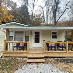
Oscar’s Hendo Retreat
Browse vacation cabins and private rentals nearby
Unique outdoor stays — tents, yurts, and treehouses
Rent a campervan or RV for your waterfall road trip
Some links are affiliate links. We may earn a commission at no extra cost to you.
Nearby Campground
COVE CREEK LOWER GROUP CAMP
2.7 miles away · 1 sites
Overview Cove Creek Lower Group Camp is one of two group campsites nestled along Cove Creek in the lush forests of the Appalachian Mountains in western North Carolina. The facility can accommodate large groups of up to 60 people and offers year-round opportunities for hiking, mountain biking, fishing and picnicking in one of the most scenic areas in the state.Recreation Campers can easily relax with a book or deck of cards in the shaded camping area, or seek out activities close by. The area is a
Book on Recreation.govNearby Hot Springs
Hot springs near East Flat Rock, North Carolina
Looking for a soak after your hike? Explore more hot springs near East Flat Rock, North Carolina on SoakingSprings.
Explore North Carolina springsAdditional Information
Nearby Attractions
Nearby attractions include Sliding Rock, Moore Cove Falls, and the Blue Ridge Parkway.
Wildlife
Visitors may encounter birds, squirrels, and other small wildlife typical of Pisgah National Forest.
Cities near Looking Glass Falls
Nearby Waterfalls
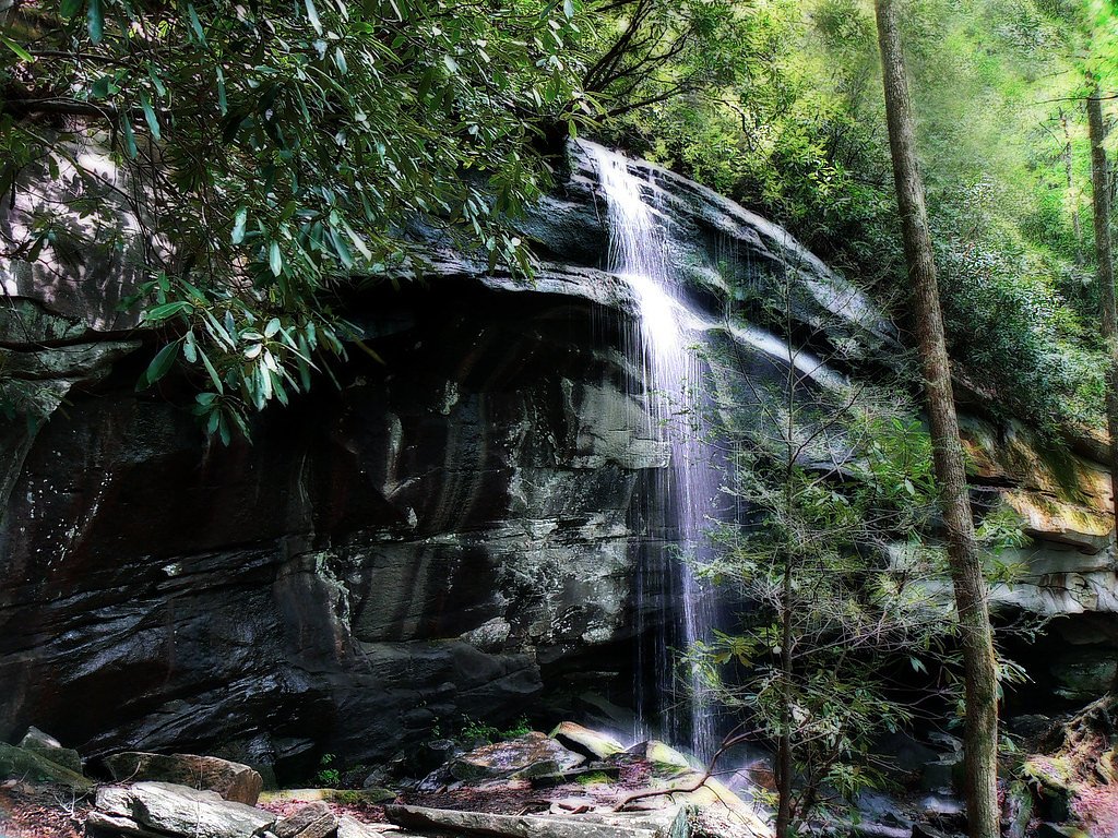


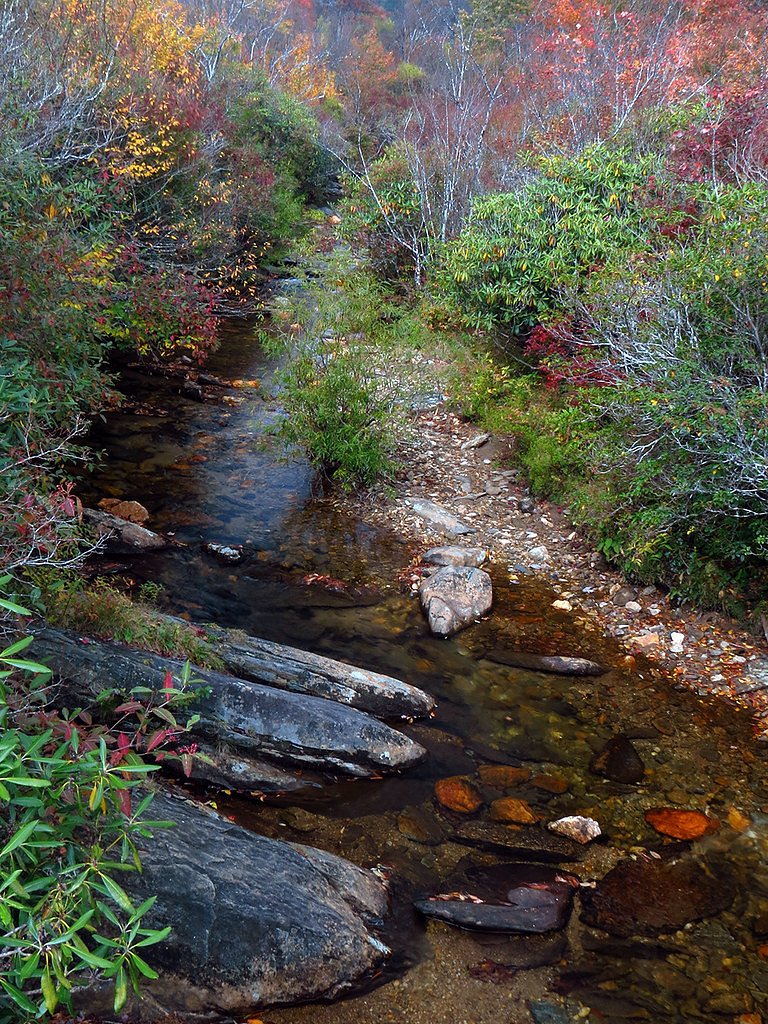
Writing about Looking Glass Falls? Embed this waterfall on your site for free.